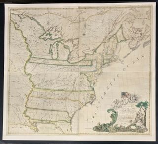
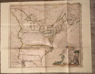
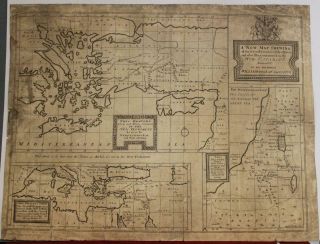
A And Correct Chart Of Acheen Road (. ) - Mount & Page (c. 1750)
Item History & Price
| Reference Number: Avaluer:38656 | Date Range: c.1750 |
| Format: 63 x 52.5 cm. |
See our ratings
Add this shop to my favorites
A New and Correct Chart of Acheen Road (..) - Mount & Page (c.1750)
$ 973.48
Availability: in stock
Condition : Very good. Please study image carefully.
Date : c.1750
Overall size : 63 x 52.5 cm.
Image size : 59.5 x 49 cm.
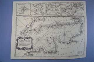
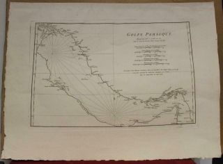
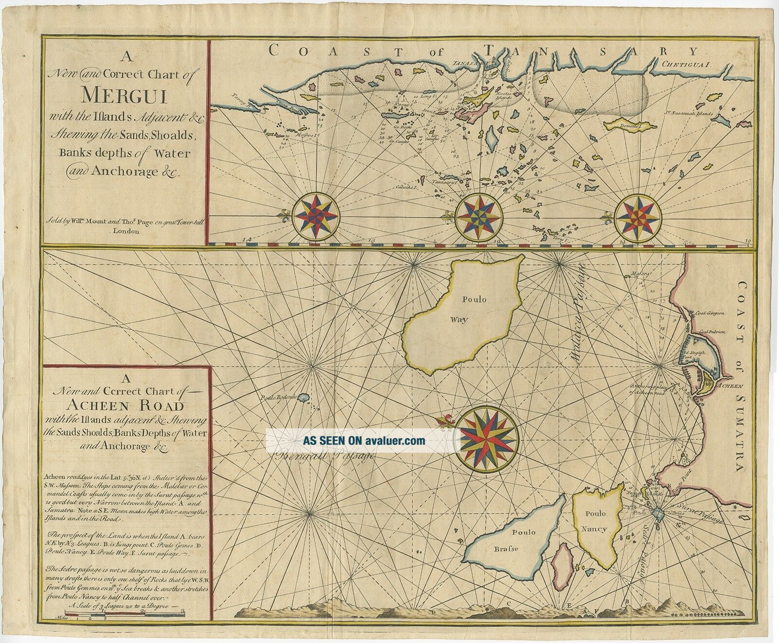
Description: Two maps on one sheet titled 'A new and correct chart of Mergui' and 'A new and correct chart of Acheen Road'. ...;This rare antique map includes two charts filled with navigational details, including soundings, anchorages, rocks, and shoals. The top chart shows the western coast of Burma near the southern tip of the country, centered on Tenasserim. Several large compass roses orient north to the left. The bottom chart shows the coast along the northwestern tip of Sumatra, with the adjacent islands of Pulau We, Pulau Breueh, and Pulau Nasi. The lower map includes a large compass rose orienting north to the top left and a land approach view with a lettered guide explained in the title cartouche. Artists and Engravers: Published by Mount & Page.
Add this shop to my favorites
A New and Correct Chart of Acheen Road (..) - Mount & Page (c.1750)
$ 973.48
Availability: in stock
Condition : Very good. Please study image carefully.
Date : c.1750
Overall size : 63 x 52.5 cm.
Image size : 59.5 x 49 cm.
Description: Two maps on one sheet titled 'A new and correct chart of Mergui' and 'A new and correct chart of Acheen Road'. ...;This rare antique map includes two charts filled with navigational details, including soundings, anchorages, rocks, and shoals. The top chart shows the western coast of Burma near the southern tip of the country, centered on Tenasserim. Several large compass roses orient north to the left. The bottom chart shows the coast along the northwestern tip of Sumatra, with the adjacent islands of Pulau We, Pulau Breueh, and Pulau Nasi. The lower map includes a large compass rose orienting north to the top left and a land approach view with a lettered guide explained in the title cartouche. Artists and Engravers: Published by Mount & Page.