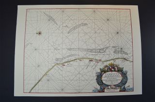
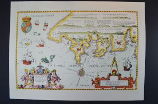
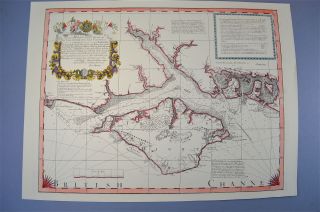
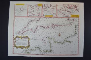
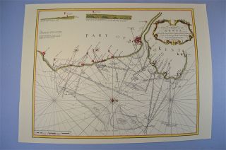
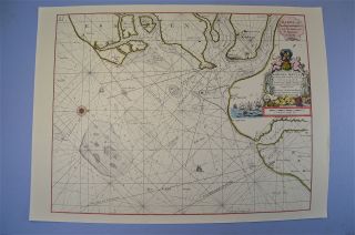
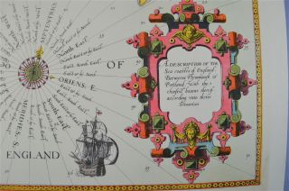
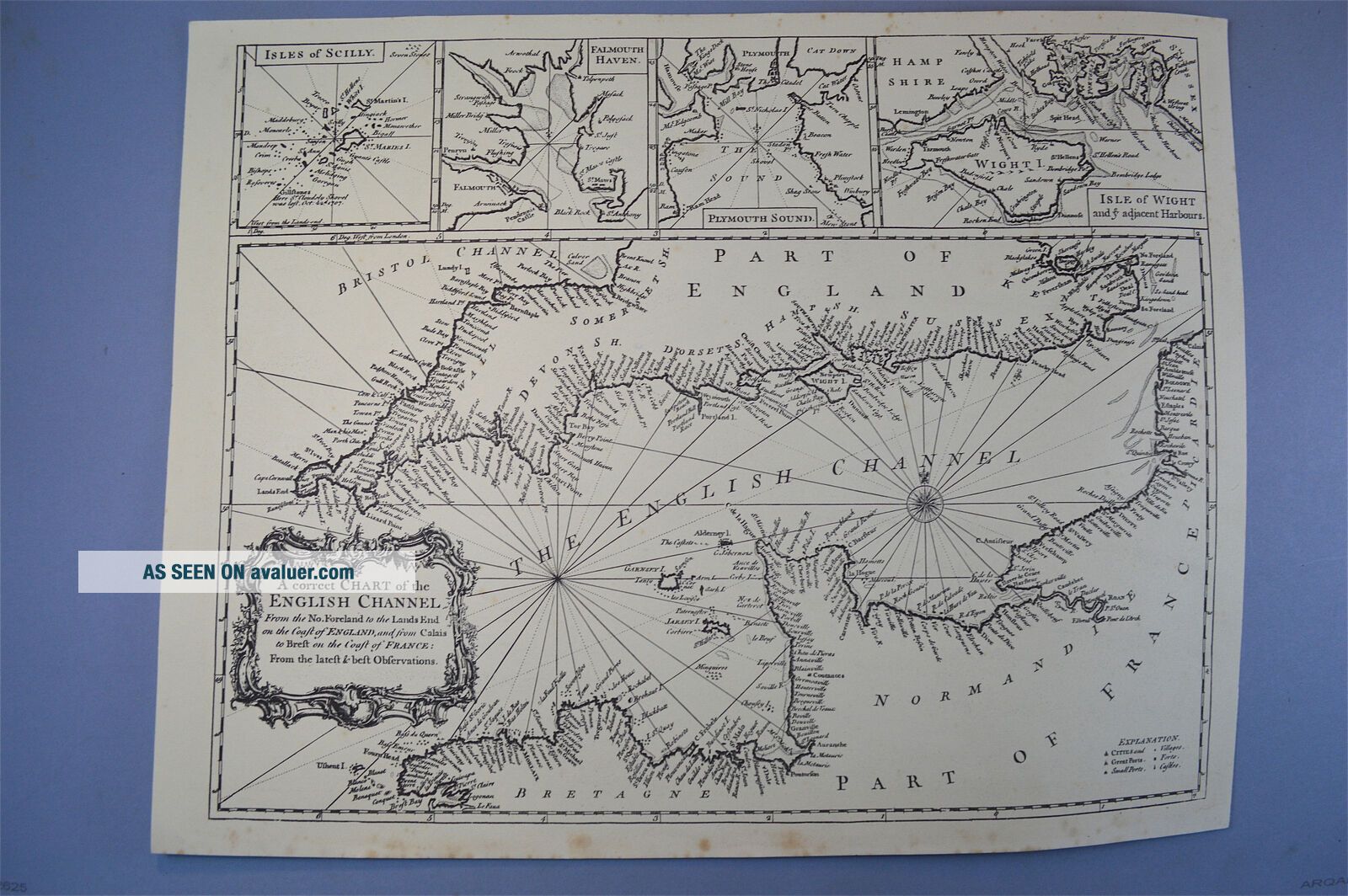
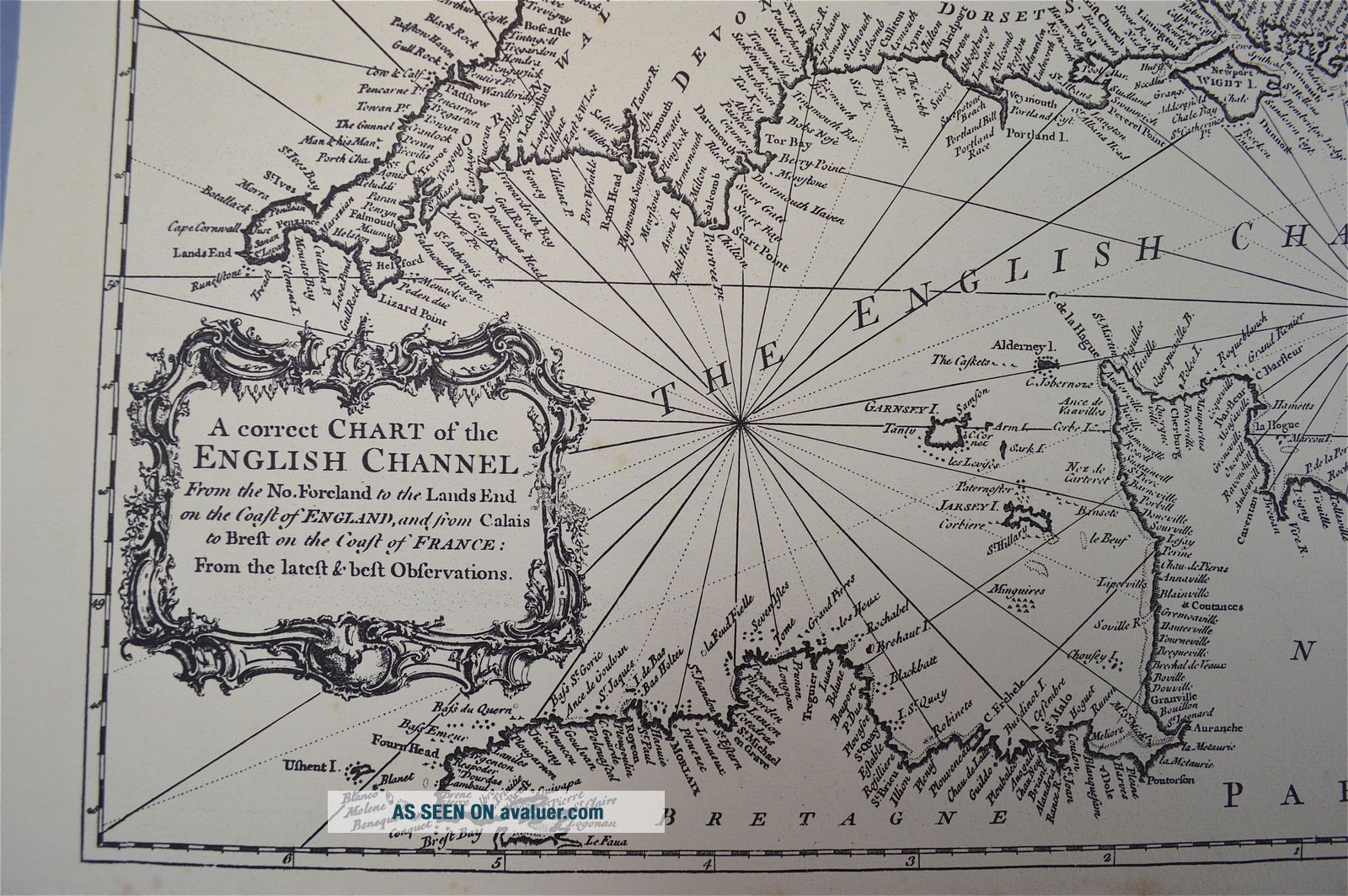
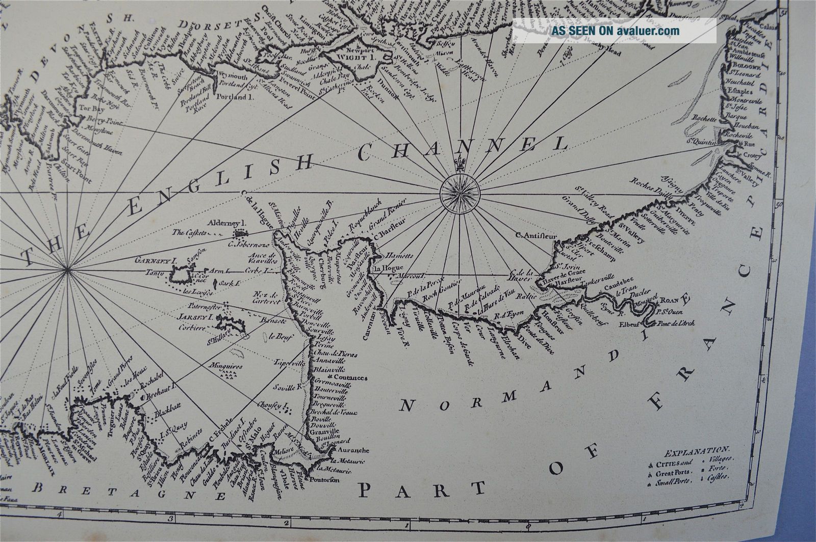
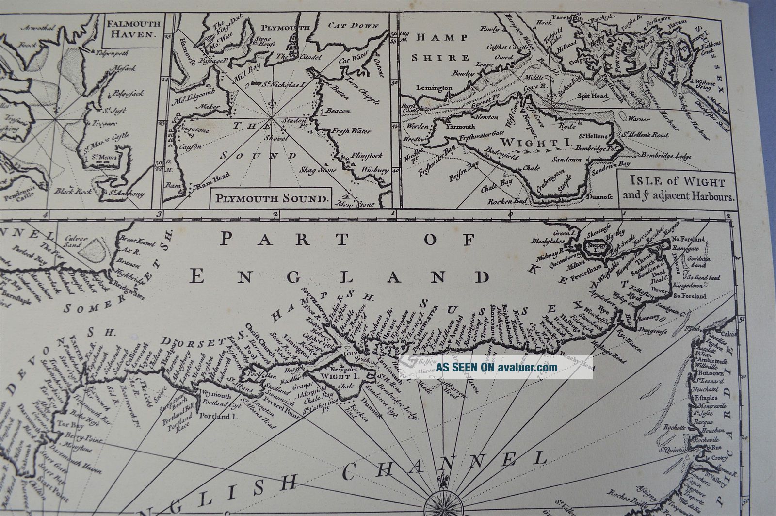
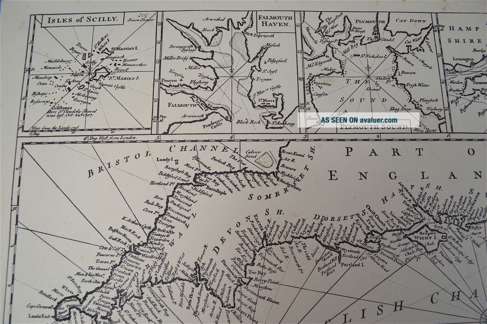
Vintage Marine Chart Sheet Map A Correct Chart Of The English Channel B/W


Item History & Price

Information:
Reference Number: Avaluer:1236165Date Range: 1600-1699
Type: Nautical MapOriginal/Reproduction: Reproduction
Original Description:
Vintage Marine chart sheet map A correct chart of the English Channel B/W Vintage Marine chart sheet map A correct chart of the English Channel B/W A decorative sheet map of The English Chanel. A vintage copy of the original. It is new old stock from a London map shop we cleared. Printed on good quality paper and dating from circa.1960-80's. Some of the maps do have some light marks of bumping to the ...edges but nothing major. The map measures 48.3cms wide and 35.5cms tall. 19 inches wide and 14 inches tall. The map will be sent in a postal tube. 


    Similar items


  • Vintage Marine Chart Sheet Map Of Yarmouth And The Sands About It

    Vintage Marine Chart Sheet Map Of Yarmouth And The Sands About It

  • Vintage Marine Chart Sheet Map Of Sea Coast Lands End To Plymouth Cornwall

    Vintage Marine Chart Sheet Map Of Sea Coast Lands End To Plymouth Cornwall

  • Vintage Marine Chart Sheet Map Of The Sea Coast From Chichester To Christchurch

    Vintage Marine Chart Sheet Map Of The Sea Coast From Chichester To Christchurch

  • Vintage Marine Chart Sheet Map Of English Chanel French Coast English Coast

    Vintage Marine Chart Sheet Map Of English Chanel French Coast English Coast

  • Vintage Marine Chart Sheet Map Of The Downs Goodwin Sands

    Vintage Marine Chart Sheet Map Of The Downs Goodwin Sands

  • Vintage Marine Chart Sheet Map Of Harwich Circa.  1686

    Vintage Marine Chart Sheet Map Of Harwich Circa. 1686

  • Vintage Marine Chart Sheet Map Of Sea Coast Of Plymouth And Portland

    Vintage Marine Chart Sheet Map Of Sea Coast Of Plymouth And Portland

  • Holy Mountain Vintage German 1 Sheet Poster A Alejandro Jodorowsky Montana Sacra

    Holy Mountain Vintage German 1 Sheet Poster A Alejandro Jodorowsky Montana Sacra


    • You might also like


    • Hungary & Romania 1579 (1584) Ortelius Unusual Antique Copper Engraved Map

      Hungary & Romania 1579 (1584) Ortelius Unusual Antique Copper Engraved Map

    • Brussels Bruxelles Belfium 1777 De Ferraris & Dupuis Large Antique Map Sheet Xxi

      Brussels Bruxelles Belfium 1777 De Ferraris & Dupuis Large Antique Map Sheet Xxi

    • 1616 Atlas Map Of Iceland.

      1616 Atlas Map Of Iceland.

    • Kazan Russia 1767 Le Clerc/lespinasse Antique Copper Engraved City View

      Kazan Russia 1767 Le Clerc/lespinasse Antique Copper Engraved City View

    • 1899 Stanford,  Folding Map Of Norwich,  Norfolk,  Arthur Collins,  Jarrold & Sons,

      1899 Stanford, Folding Map Of Norwich, Norfolk, Arthur Collins, Jarrold & Sons,

    • 1948 Vintage Linen Colour Map Geological Survey Ten Mile Of Great Britain

      1948 Vintage Linen Colour Map Geological Survey Ten Mile Of Great Britain

    • 1944 Map Flying Bombs Sussex Ww2 Newspaper Military Kent Courier German V1 V2

      1944 Map Flying Bombs Sussex Ww2 Newspaper Military Kent Courier German V1 V2

    • Dated 1638 Vellum Map Of Icklesham Sussex Showing Land Uses Owners Etc

      Dated 1638 Vellum Map Of Icklesham Sussex Showing Land Uses Owners Etc

Avaluer          About Us          Privacy Policy          Contact Us          UP
© 2022, avaluer.net, Inc. or its affiliates