Antique Map Montague, MA - FW Beers Atlas Of Franklin County MA 1871
Item History & Price
| Reference Number: Avaluer:3924335 |
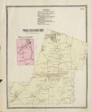
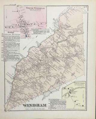
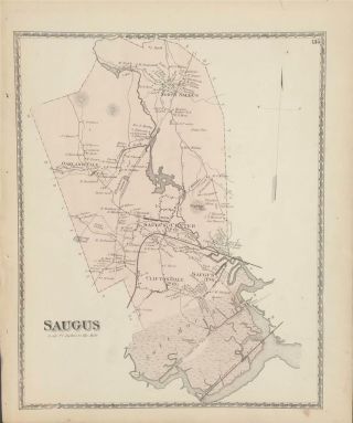
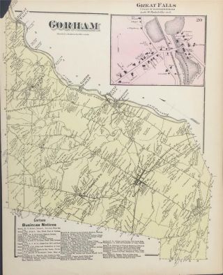
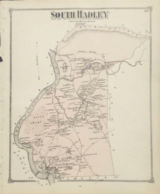
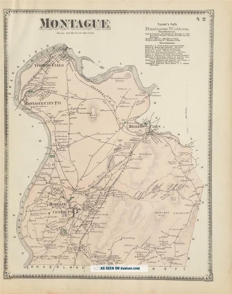
Title: Montague
Mapmaker: FW Beers
Condition: Very Good Map of Montague, Massachusetts from FW Beers Atlas of Franklin County MA 1871. 15.5"x13". Map is hand colored. Railroads, rivers, streets, and property owners are listed. There is a business directory. (173) Whitlock's is an antiquarian and rare book store that also sells old maps, prints, and ephemera. Those who treasure the past, will delight in ou...r selection of old maps from the 1800's. We have 1000's of maps by town and by county from 21 states. Maps in the collection include maps by Mitchell, Colton, Tilden & Baker, and the Beers family. We also have a limited selection of international maps. For more information or questions regarding our books email us OR Call : 203-393-1240