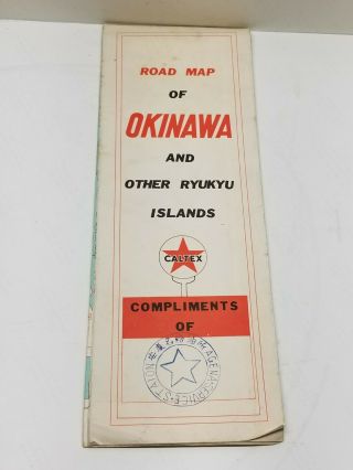
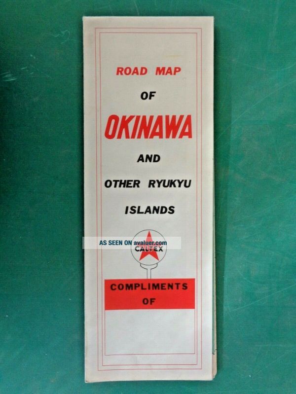
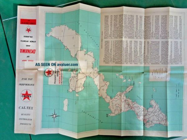
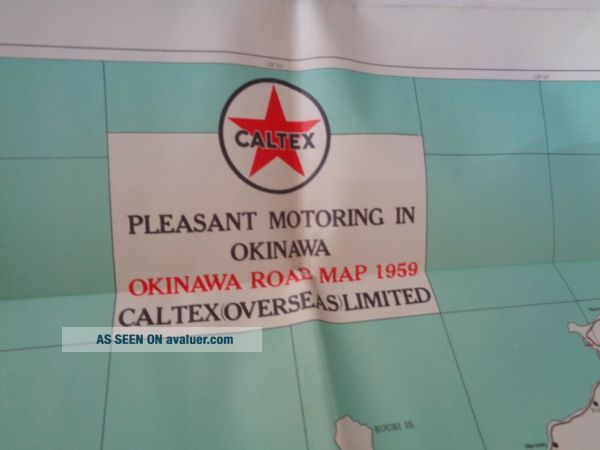
1959 CalTex (Texaco) Map Of Okinawa W/ WWII Points Of Interest
Item History & Price
| Reference Number: Avaluer:46423642 | Country/Region of Manufacture: United States |
| Year: 1959 |
This is a map of Okinawa and the Ryukyu Islands before the United States returned control of the area to Japan. When this map was made, Okinawa was a regular stop and R&R destination for American military when they were serving in the Pacific-Asian theater. It gives a great, though brief description of various points of interest as it related to the battles of World War II, such as Suicide Point and International Cemetery. It was issued to a soldier on leave while serving in Vietna...m as part of a support/training unit. Great bit of history for lovers of Japan, collectors of WWII items or those who collect CalTex or Texaco items.
The map is in good shape. Some light wear through along seams and slight yellowing from age. The open map is 24 by 42 inches, folded it is 4 1/4 by 12 inches.
The map is in good shape. Some light wear through along seams and slight yellowing from age. The open map is 24 by 42 inches, folded it is 4 1/4 by 12 inches.