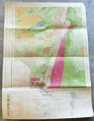
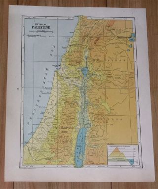
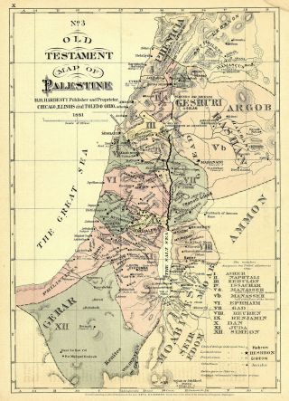
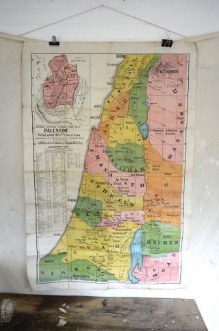
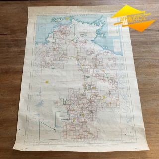
Vintage Abingdon Map Of Palestine Bible Teacher Aid 27. 5” X 22” Roll Up


Item History & Price

Information:
Reference Number: Avaluer:48179726
Original Description:
Vintage Abingdon Map Of Palestine Bible Teacher Aid 27.5” X 22” Roll Up. Condition is Very Good. Name on back
Shipped with USPS Priority Mail.


    Similar items


  • Rare Vintage Geological Map Of Palestine On Canvas The Souht Part Of Israel 1947

    Rare Vintage Geological Map Of Palestine On Canvas The Souht Part Of Israel 1947

  • 1936 Vintage Physical Map Of Palestine Israel Lebanon Jordan Jerusalem Haifa

    1936 Vintage Physical Map Of Palestine Israel Lebanon Jordan Jerusalem Haifa

  • 1881 Old Testament Bible Map Of Palestine Israel Wall Art Poster Vintage History

    1881 Old Testament Bible Map Of Palestine Israel Wall Art Poster Vintage History

  • 3 Vintage Wall Maps Of Africa North South Nile Size 19 " X 25 " Teachers Aids

    3 Vintage Wall Maps Of Africa North South Nile Size 19 " X 25 " Teachers Aids

  • Vintage Linen Sunday School Map Of Palestine Eilers Ltd Made In Usa

    Vintage Linen Sunday School Map Of Palestine Eilers Ltd Made In Usa

  • 1926 Map Of Palestine & Syria By George Philip & Son.  Vintage

    1926 Map Of Palestine & Syria By George Philip & Son. Vintage

  • Old Vintage Map Of Palestine,  Philips Authentic Maps,  Rare,  Atlas

    Old Vintage Map Of Palestine, Philips Authentic Maps, Rare, Atlas

  • 1855 Vintage Map Of Palestine Israel From Colton S Atlas

    1855 Vintage Map Of Palestine Israel From Colton S Atlas


    • You might also like


    • Twelve (12 " X 18 ") Linen Backed Vintage Maps - Yorkshire Lancashire Westmorland

      Twelve (12 " X 18 ") Linen Backed Vintage Maps - Yorkshire Lancashire Westmorland

    • Vintage Philips Authentic Imperial Maps Canada Ontario Quebec 1942 And Rare

      Vintage Philips Authentic Imperial Maps Canada Ontario Quebec 1942 And Rare

    • Rare Vtg/antq 1873 Hardcover Book: Clinton County Michigan Atlas Plus Rr Maps

      Rare Vtg/antq 1873 Hardcover Book: Clinton County Michigan Atlas Plus Rr Maps

    • Port Of London Authority (pla) - Vintage Map Of Docks I.  E.  Before Redevelopment

      Port Of London Authority (pla) - Vintage Map Of Docks I. E. Before Redevelopment

    • 1953 Vintage Pastoral Map Of Northern Territory A.  R.  Miller Surveryor General

      1953 Vintage Pastoral Map Of Northern Territory A. R. Miller Surveryor General

    • Eighteen,  Ordnance Survey,  Ireland,  1/2 Inch To 1 Mile,  Vintage Maps,  C.  1970

      Eighteen, Ordnance Survey, Ireland, 1/2 Inch To 1 Mile, Vintage Maps, C. 1970 ' S.

    • Rare Vtg/antq 1930 Hardcover Book: Atlas Of Buffalo And Pepin Counties Wisconsin

      Rare Vtg/antq 1930 Hardcover Book: Atlas Of Buffalo And Pepin Counties Wisconsin

Avaluer          About Us          Privacy Policy          Contact Us          UP
© 2022, avaluer.net, Inc. or its affiliates