Geography Map Of Africa, Vintage Africa Pull Down Chart, Geophysical School Map,

Item History & Price
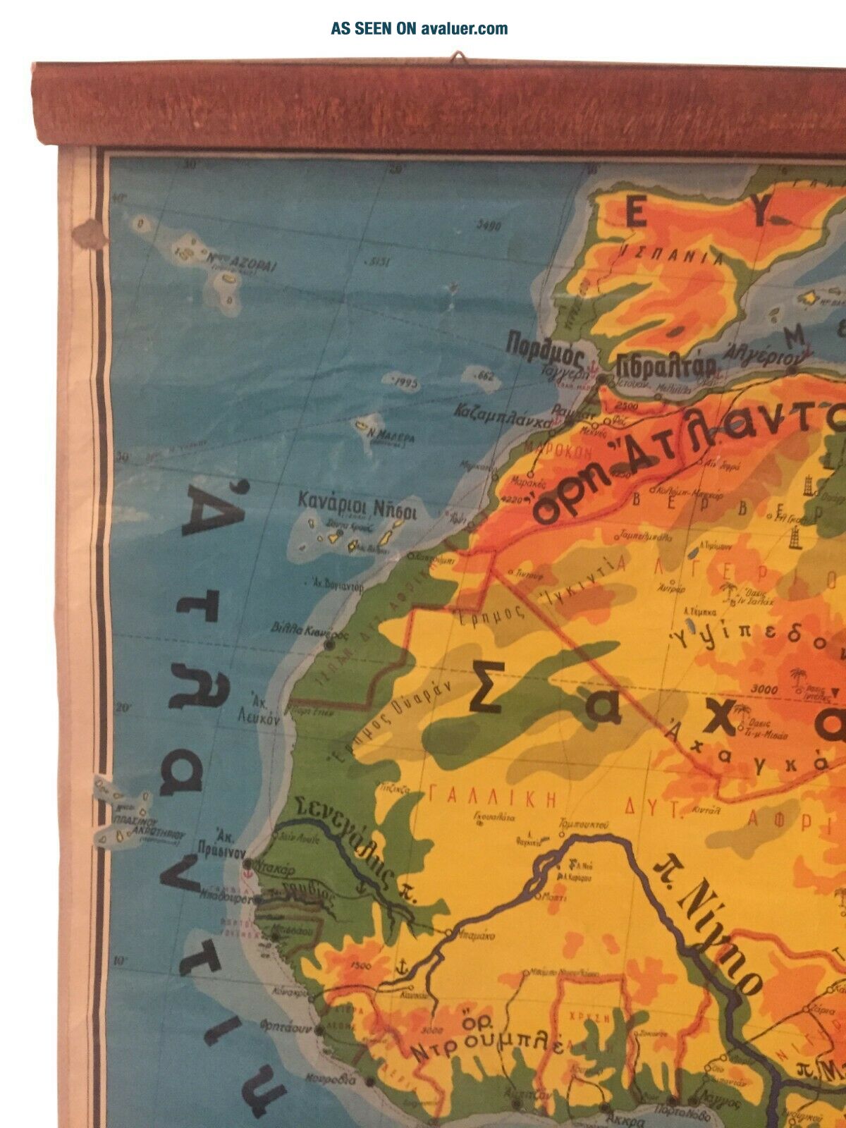
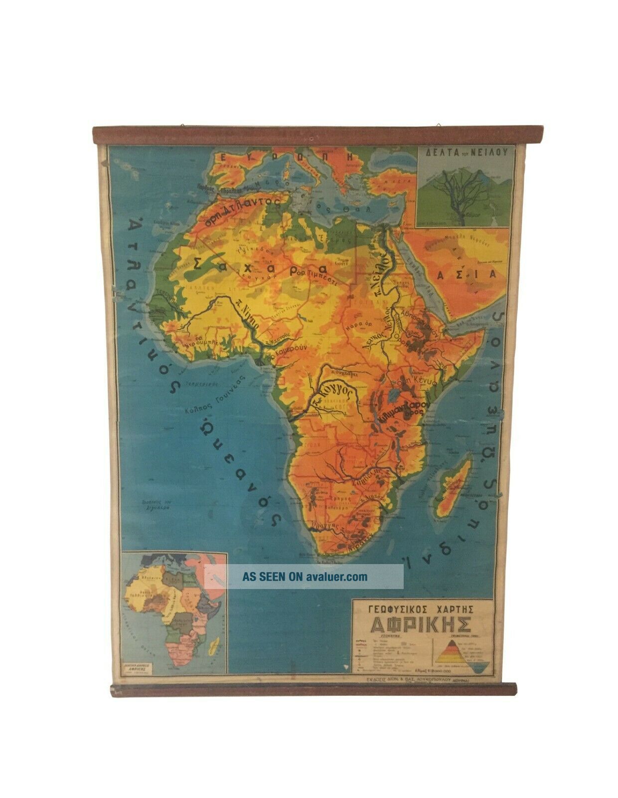
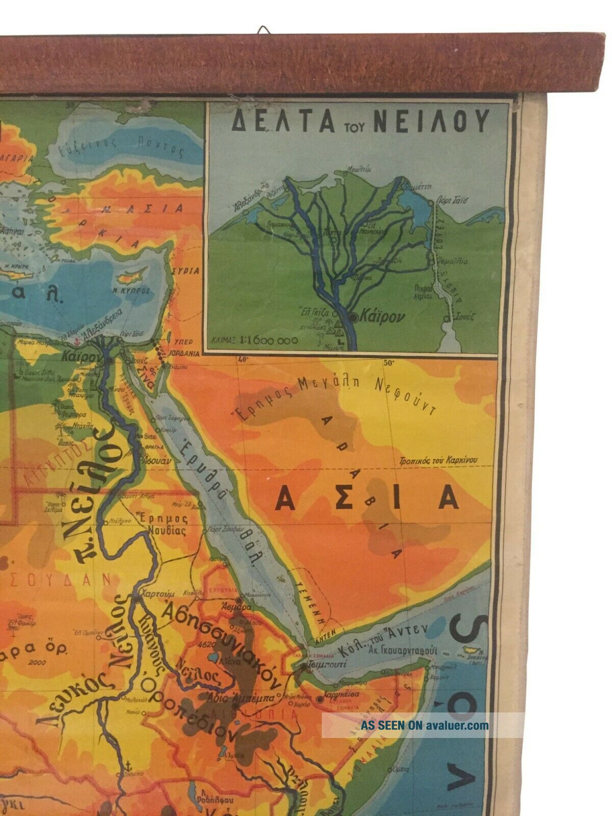
Geography map of Africa, Vintage Africa pull down chart, Geophysical School Map
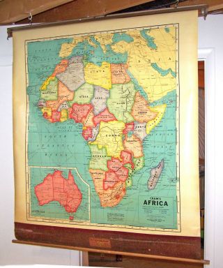
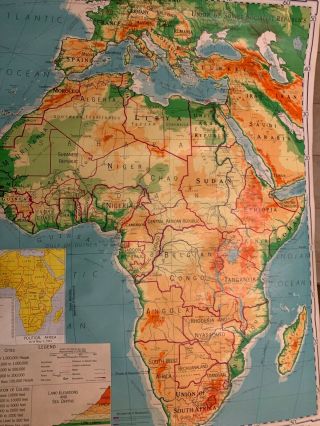
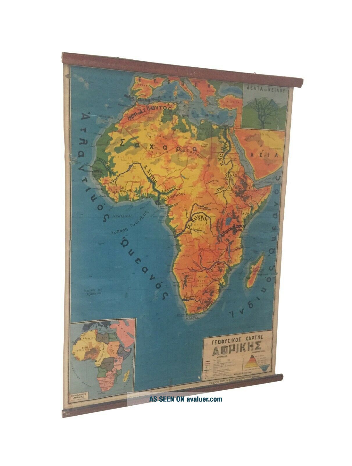
A fantastic Lithography vintage Geophysical Africa pull-down canvas school map, made in Greece around 60s by publishing company "D. & B Loukopoulou Athens" and presented at 1:9.000.000 scale.
This Gorgeous Vintage Geography School Chart is in Greek Language. It is a beautifully illustrated map very detailed in a very vivid range of colors. The chart is ...printed on linen canvas, fixed on wooden dowels. This is an original vintage print and not a reproduction.
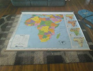
This chart was used in Greek schools for decades and has been seen by thousands of children during their geography lessons.
This is a dynamic piece strong in color and form and rich in information. This would make both a fascinating teaching tool and a bold decor statement.
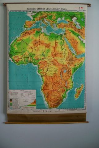
Chart Dimensions:
Length: 105 cm or 41.3''
Height: 140 cm or 55 ''
Great care will be taken in packing to ensure safe arrival.
As the maps are genuine vintage maps, most of them will have some signs of wear which only add to its character, however, I will always mention that in the listing.
Vintage items have through their use and their age natural signs of use. So the object is given a beautiful patina that vintage lovers appreciate so much.
-Photos are a part of my description.Please examine before purchase.
-I use 1st priority airmail with a tracking number.
-It will be packaged safely to prevent bending or breaking
-If you have any questions or need more photos please contact me.
Thank's for stopping by!Less
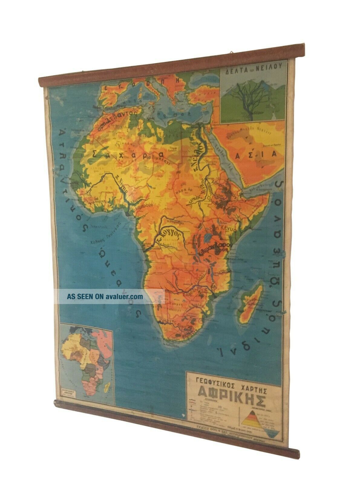
A fantastic Lithography vintage Geophysical Africa pull-down canvas school map, made in Greece around 60s by publishing company "D. & B Loukopoulou Athens" and presented at 1:9.000.000 scale.
This Gorgeous Vintage Geography School Chart is in Greek Language. It is a beautifully illustrated map very detailed in a very vivid range of colors. The chart is ...printed on linen canvas, fixed on wooden dowels. This is an original vintage print and not a reproduction.
This chart was used in Greek schools for decades and has been seen by thousands of children during their geography lessons.
This is a dynamic piece strong in color and form and rich in information. This would make both a fascinating teaching tool and a bold decor statement.
Chart Dimensions:
Length: 105 cm or 41.3''
Height: 140 cm or 55 ''
Great care will be taken in packing to ensure safe arrival.
As the maps are genuine vintage maps, most of them will have some signs of wear which only add to its character, however, I will always mention that in the listing.
Vintage items have through their use and their age natural signs of use. So the object is given a beautiful patina that vintage lovers appreciate so much.
-Photos are a part of my description.Please examine before purchase.
-I use 1st priority airmail with a tracking number.
-It will be packaged safely to prevent bending or breaking
-If you have any questions or need more photos please contact me.
Thank's for stopping by!Less