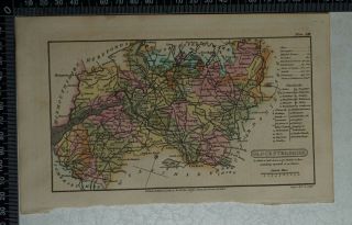
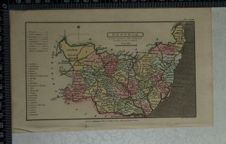
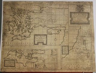
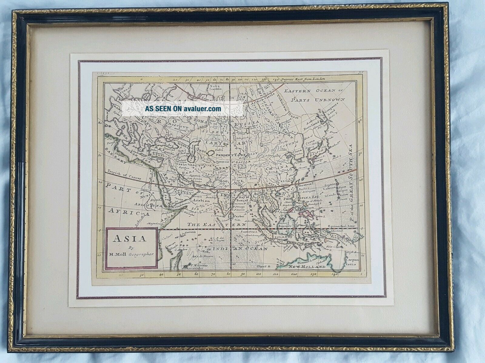
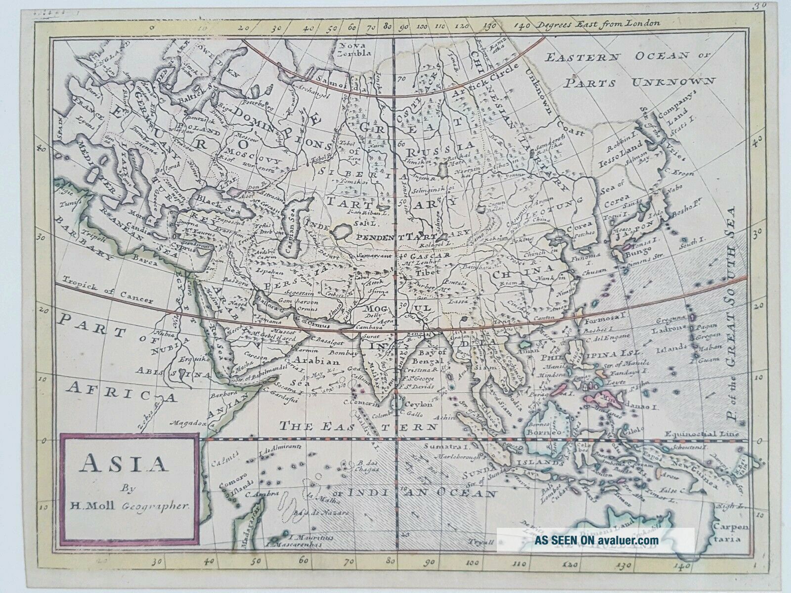
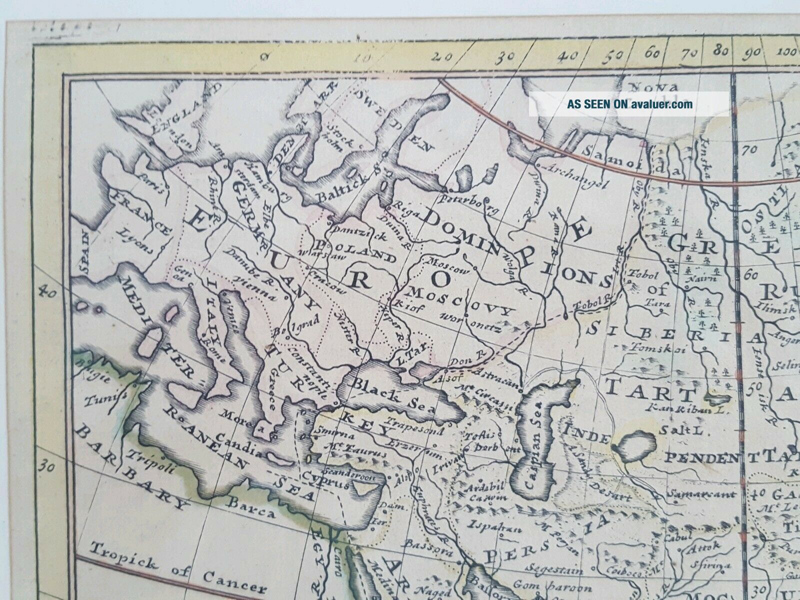
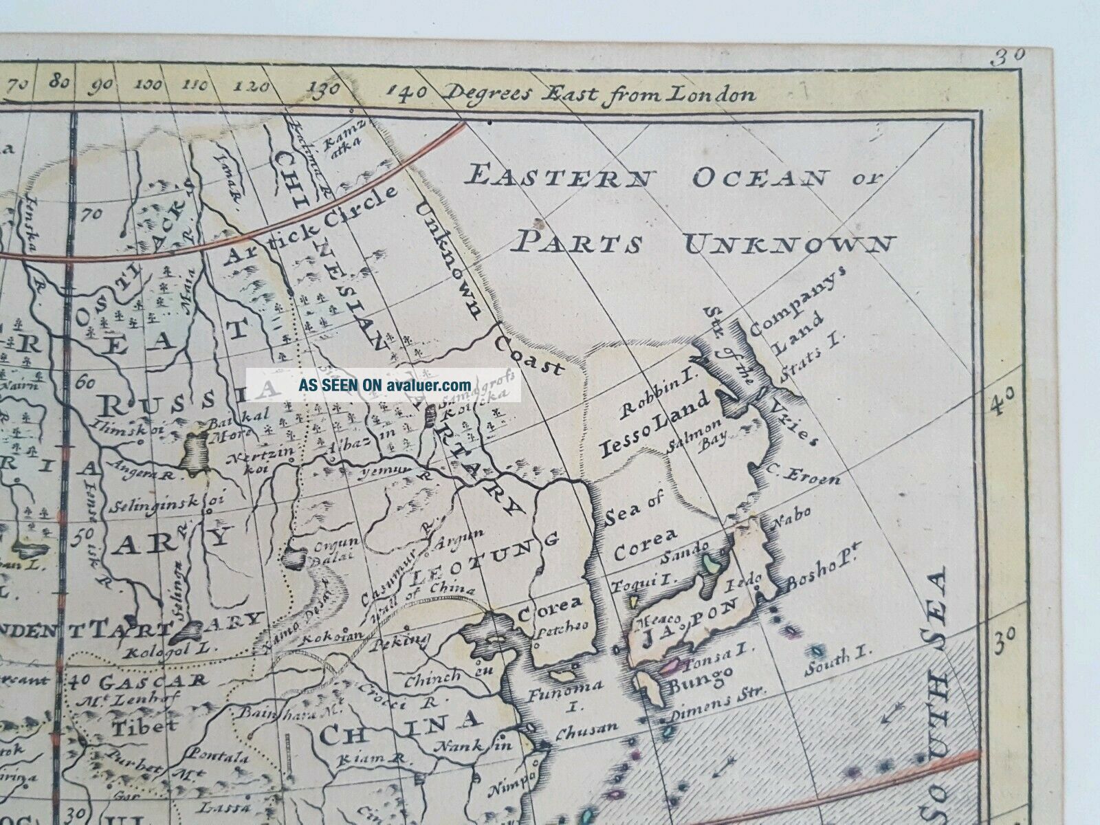
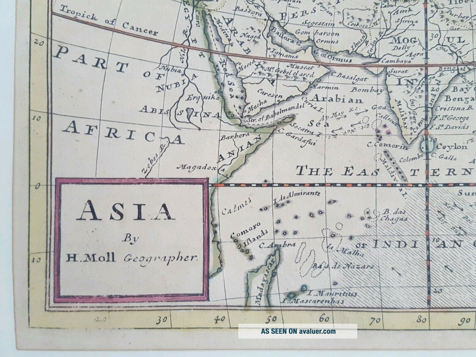
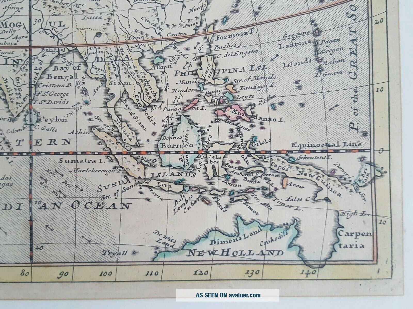
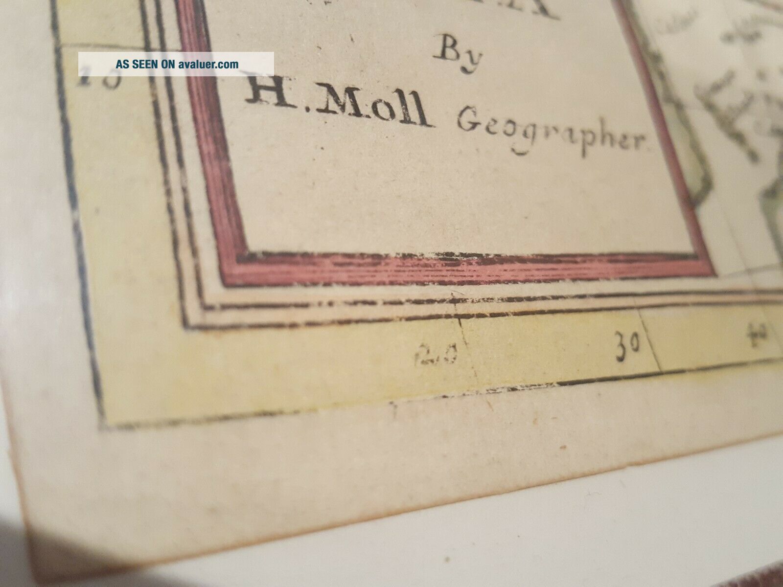
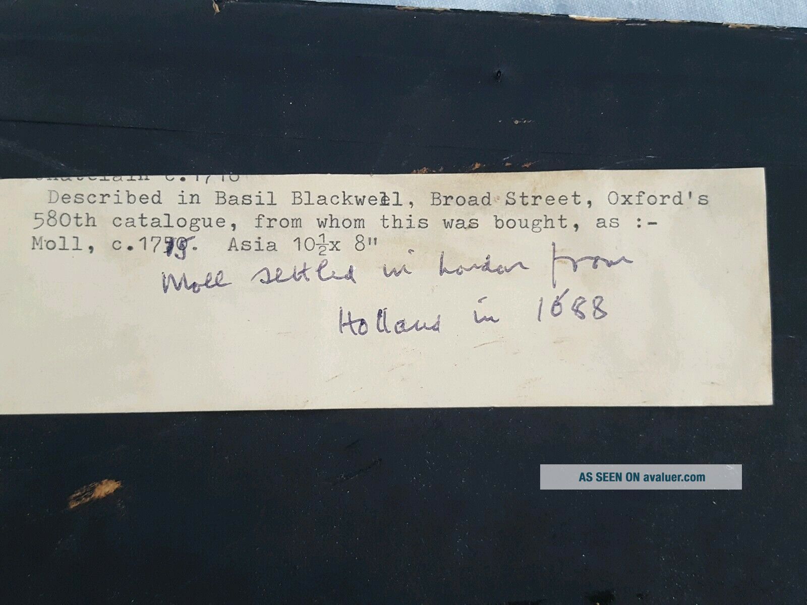
Herman Moll, Antique Hand Coloured Asia Map From His Small Atlas (1715)
Item History & Price
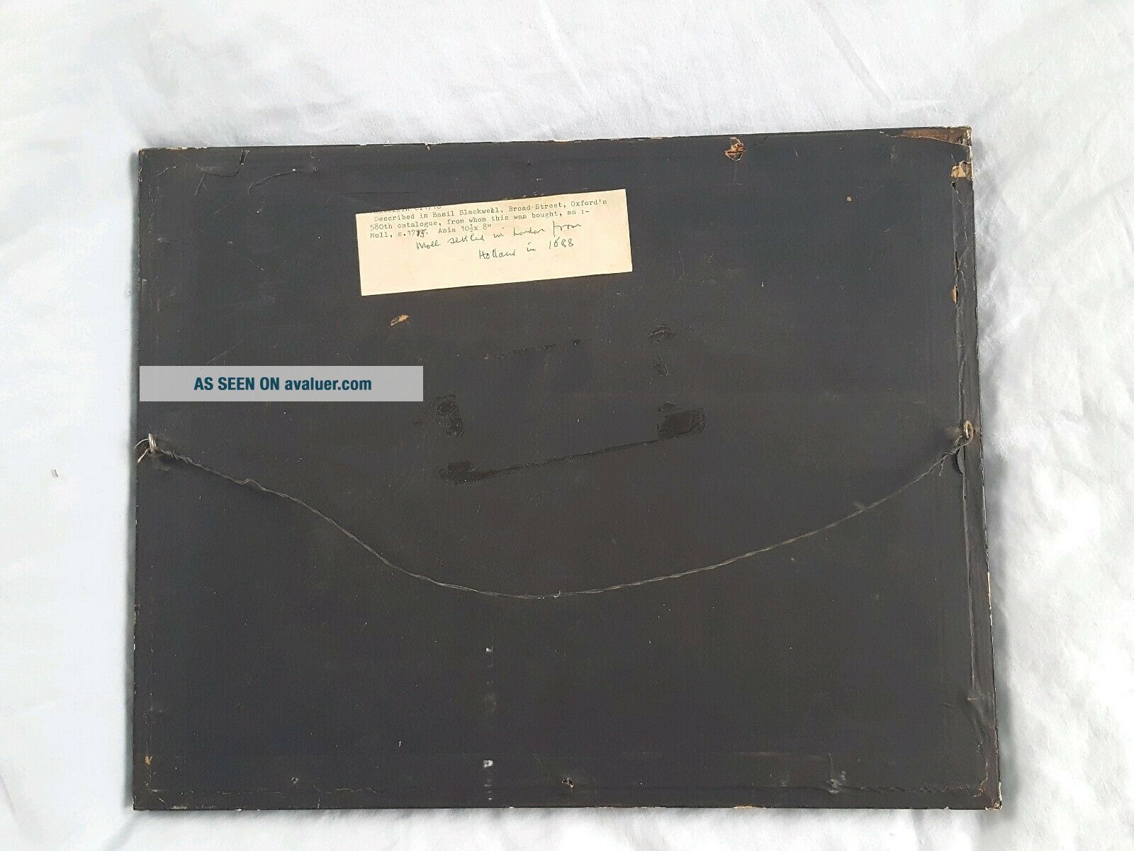
Plate 21cm x 27.3cm. Hogarth Frame (frame 33.3 x 42.5cm).
Dispatched with Royal Mail 2nd Class tracked. Or collect Godalming, Surrey
1808 Antique Hand Coloured Capper Map Of Northumberland
1808 Antique Hand Coloured Capper Map Of Staffordshire
1808 Antique Hand Coloured Capper Map Of Lancashire
1813 Russian Empire Antique Hand Coloured Russia Map By Samuel Neele
1808 Antique Hand Coloured Capper Map Of Glocestershire/gloucestershire
1808 Antique Hand Coloured Capper Map Of Suffolk
Spilsby & Alford 84 S. W. Antique Hand Coloured Geological Map Ordnance Survey
Grantham 70 S. W. Antique Hand Coloured Geological Map Ordnance Survey 1870
Israel Holy Land Middle East Cyprus Mediterranean Sea 1730 Nicholls Antique Map
Vintage Map Of West Lake Hangzhou Hangchow China
Map 1885 Vietnam French Indochina China War Tonkin Hanoi Tuyen Quan Bac - Ninh
Vintage 1942 Battle Of Singapore Island Japanese Strategic Map Malayan Campaign
1936 Frank Dorn Map Of Beijing Or Peking, China
Persian Gulf Arabia Qatar Iran 1776 D ' Anville Antique Copper Engraved Sea Chart
1936 Chinese Pictorial Map Of Peking By Frank Dorn
Vintage Nystrom Pull Down Map Western Colonialism In Asia In 1954 12128a