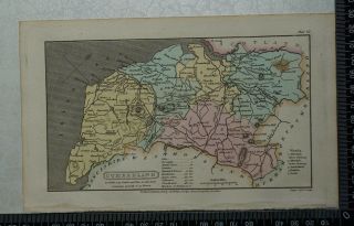
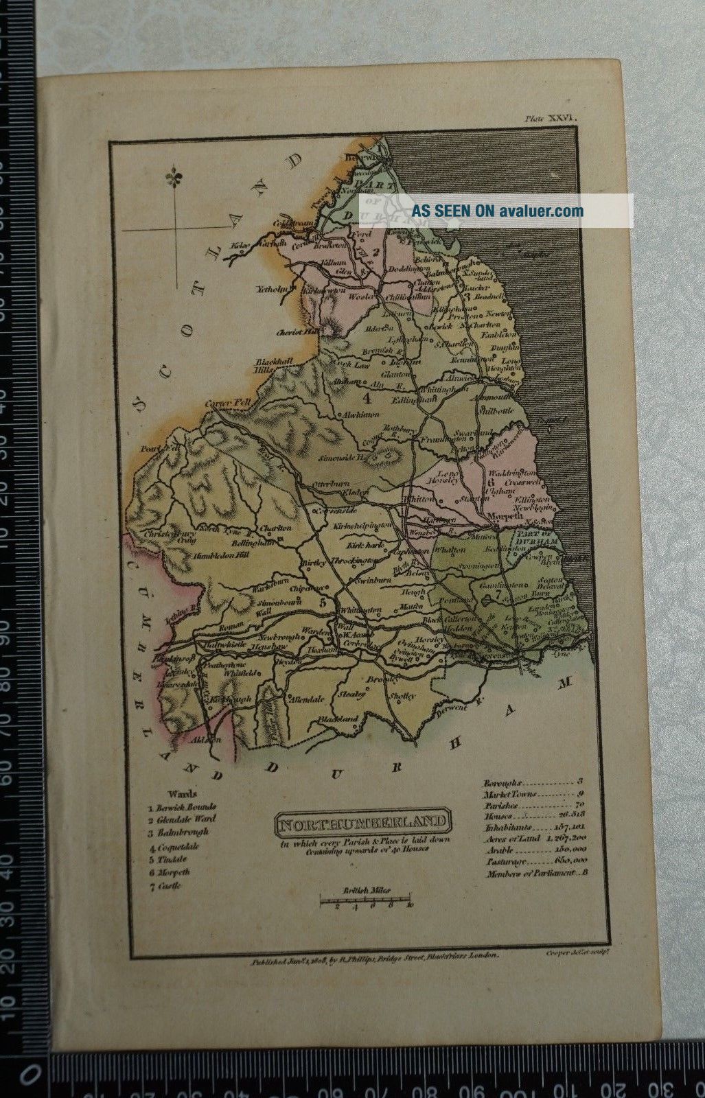
1808 Antique Hand Coloured Capper Map Of Northumberland


Item History & Price

Information:
Reference Number: Avaluer:1239247Cartographer/Publisher: Benjamin Pitts Capper
Format: Dictionary MapOriginal/Reproduction: Antique Original
Era: 1800s
Original Description:
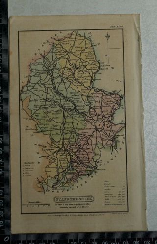
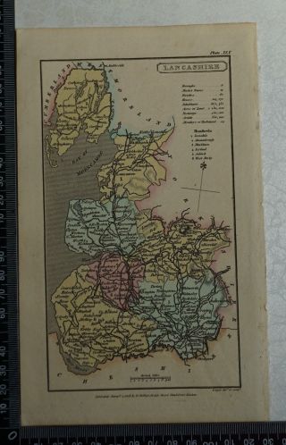
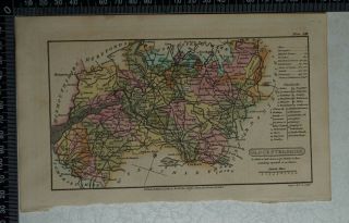
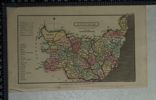
1808 Antique Original Hand Coloured Capper Map of Northumberland
This two hundred and ten year old map  by Benjamin Pitts Capper  and comes from ' A Topographical Dictionary of the United Kingdom' compiled from Parliamentary, and Other Authentic Documents and Authorities, and was published in 1808.
Overall Page Size: 12.5 cm x 21 cm approx.
Condition: Very Good.
Please study the picture.


    Similar items


  • 1808 Antique Hand Coloured Capper Map Of Staffordshire

    1808 Antique Hand Coloured Capper Map Of Staffordshire

  • 1808 Antique Hand Coloured Capper Map Of Lancashire

    1808 Antique Hand Coloured Capper Map Of Lancashire

  • 1808 Antique Hand Coloured Capper Map Of Glocestershire/gloucestershire

    1808 Antique Hand Coloured Capper Map Of Glocestershire/gloucestershire

  • 1808 Antique Hand Coloured Capper Map Of Suffolk

    1808 Antique Hand Coloured Capper Map Of Suffolk

  • 1808 Antique Hand Coloured Capper Map Of Cumberland

    1808 Antique Hand Coloured Capper Map Of Cumberland

  • 1808 Antique Hand Coloured Capper Map Of Bedfordshire

    1808 Antique Hand Coloured Capper Map Of Bedfordshire

  • 1808 Antique Hand Coloured Capper Map Of Derbyshire

    1808 Antique Hand Coloured Capper Map Of Derbyshire

  • Antique Hand Coloured Engraved Map Of Russian Empire,  C1818 Kelly

    Antique Hand Coloured Engraved Map Of Russian Empire, C1818 Kelly


    • You might also like


    • Hungary & Romania 1579 (1584) Ortelius Unusual Antique Copper Engraved Map

      Hungary & Romania 1579 (1584) Ortelius Unusual Antique Copper Engraved Map

    • Brussels Bruxelles Belfium 1777 De Ferraris & Dupuis Large Antique Map Sheet Xxi

      Brussels Bruxelles Belfium 1777 De Ferraris & Dupuis Large Antique Map Sheet Xxi

    • 1616 Atlas Map Of Iceland.

      1616 Atlas Map Of Iceland.

    • Kazan Russia 1767 Le Clerc/lespinasse Antique Copper Engraved City View

      Kazan Russia 1767 Le Clerc/lespinasse Antique Copper Engraved City View

    • 1899 Stanford,  Folding Map Of Norwich,  Norfolk,  Arthur Collins,  Jarrold & Sons,

      1899 Stanford, Folding Map Of Norwich, Norfolk, Arthur Collins, Jarrold & Sons,

    • 1948 Vintage Linen Colour Map Geological Survey Ten Mile Of Great Britain

      1948 Vintage Linen Colour Map Geological Survey Ten Mile Of Great Britain

    • 1944 Map Flying Bombs Sussex Ww2 Newspaper Military Kent Courier German V1 V2

      1944 Map Flying Bombs Sussex Ww2 Newspaper Military Kent Courier German V1 V2

    • Dated 1638 Vellum Map Of Icklesham Sussex Showing Land Uses Owners Etc

      Dated 1638 Vellum Map Of Icklesham Sussex Showing Land Uses Owners Etc

Avaluer          About Us          Privacy Policy          Contact Us          UP
© 2022, avaluer.net, Inc. or its affiliates