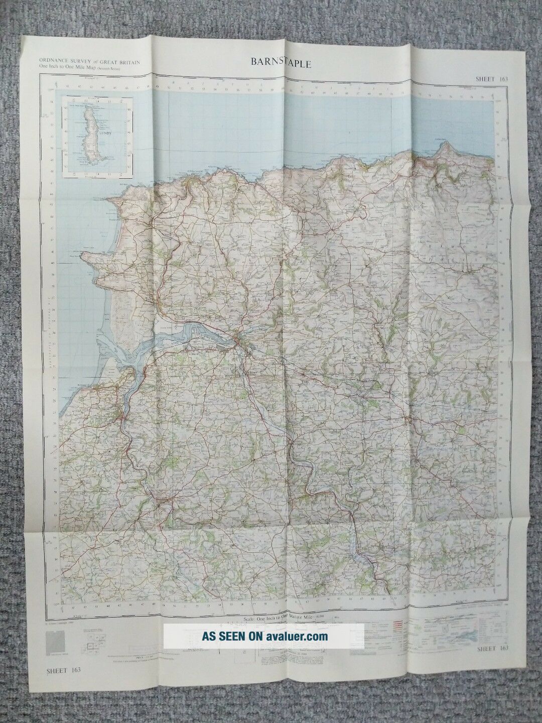
ORDNANCE SURVEY MAP 1 " To 1 Mile 1960 BARNSTAPLE MAP 163
Item History & Price
| Reference Number: Avaluer:1247428 |
large single sided, folded mapvery nice

| Reference Number: Avaluer:1247428 |
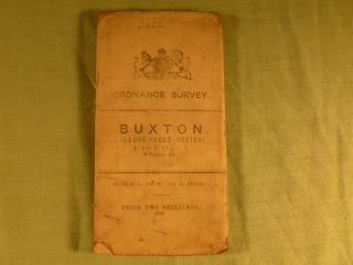
Antique Ordnance Survey Map 1 Inch To Mile Buxton Sheet 45
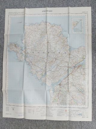
Ordnance Survey Map 1 " To 1 Mile 1960 Anglesey Map
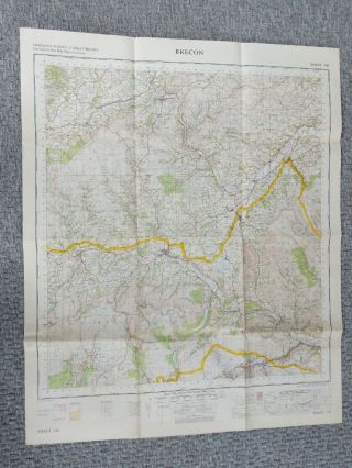
Ordnance Survey Map 1 " To 1 Mile 1967 Brecon Map 141
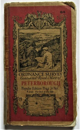
Ordnance Survey Map, 1 Inch To 1 Mile, Peterborough (64, Popular Edition), 1930
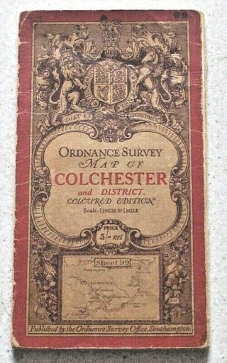
Colchester & District Ordnance Survey Map 1 Inch To 1 Mile. Third Edition C. 1914
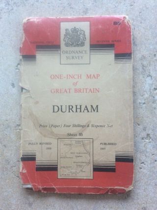
Durham 1955 Map Vintage Os Ordnance Survey Map 1 Inch To 1 Mile Mancave
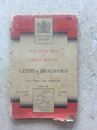
Leeds & Bradford 1954 Map Vintage Os Ordnance Survey Map 1 Inch To 1 Mile
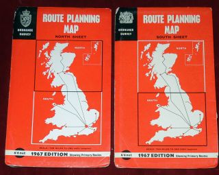
2 Ordnance Survey 10 " :1 Mile Uk Route Planning Maps - England, Scotland, Wales 1967

Hungary & Romania 1579 (1584) Ortelius Unusual Antique Copper Engraved Map

Brussels Bruxelles Belfium 1777 De Ferraris & Dupuis Large Antique Map Sheet Xxi

1616 Atlas Map Of Iceland.

Kazan Russia 1767 Le Clerc/lespinasse Antique Copper Engraved City View

1899 Stanford, Folding Map Of Norwich, Norfolk, Arthur Collins, Jarrold & Sons,

1948 Vintage Linen Colour Map Geological Survey Ten Mile Of Great Britain

1944 Map Flying Bombs Sussex Ww2 Newspaper Military Kent Courier German V1 V2

Dated 1638 Vellum Map Of Icklesham Sussex Showing Land Uses Owners Etc