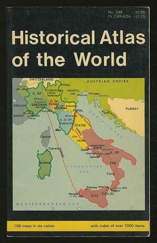
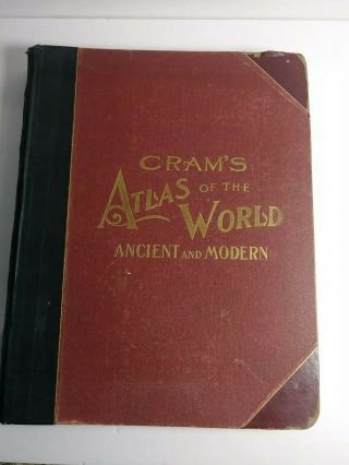
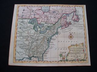
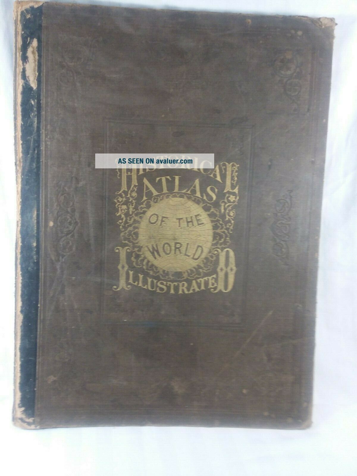
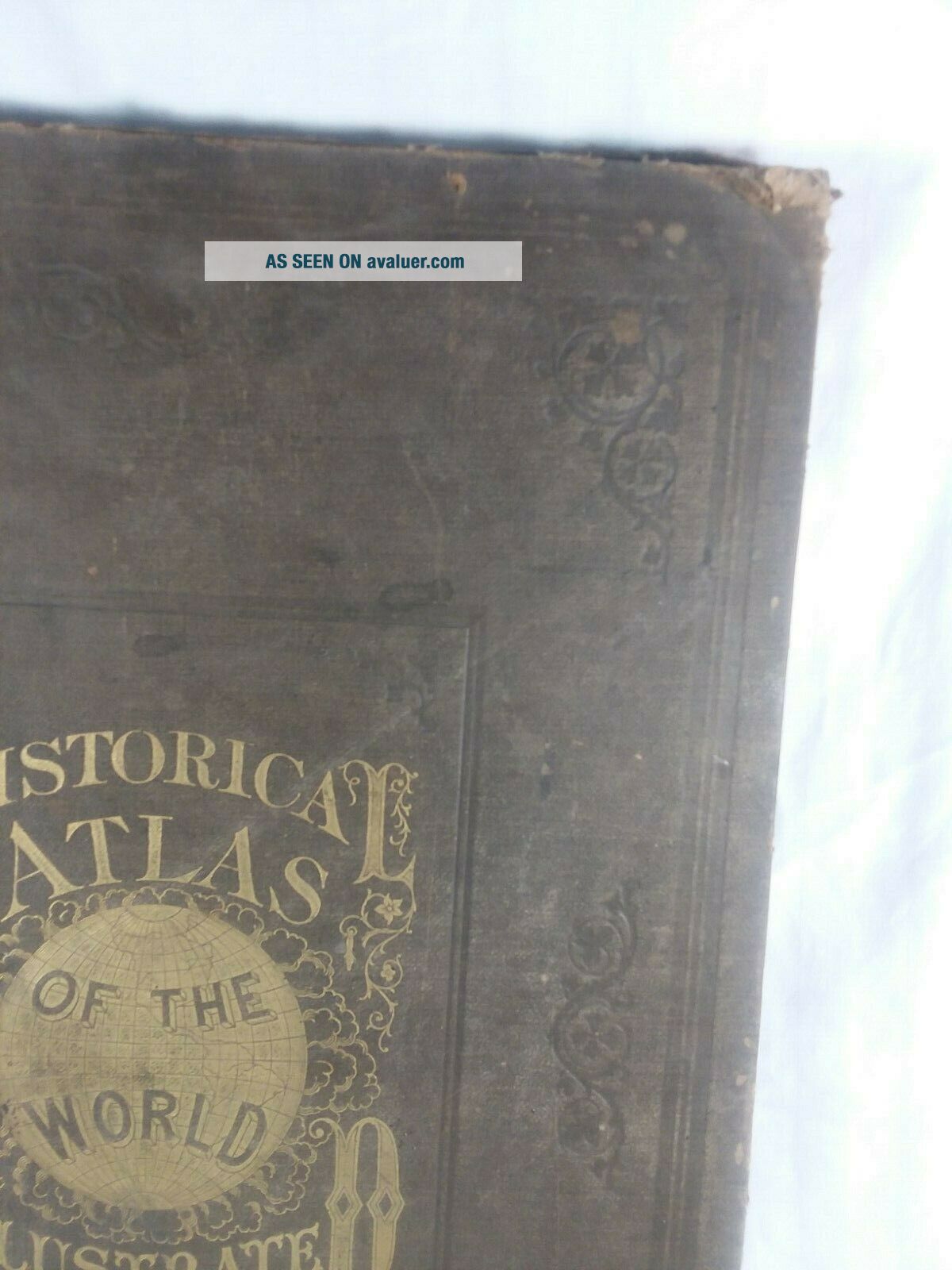
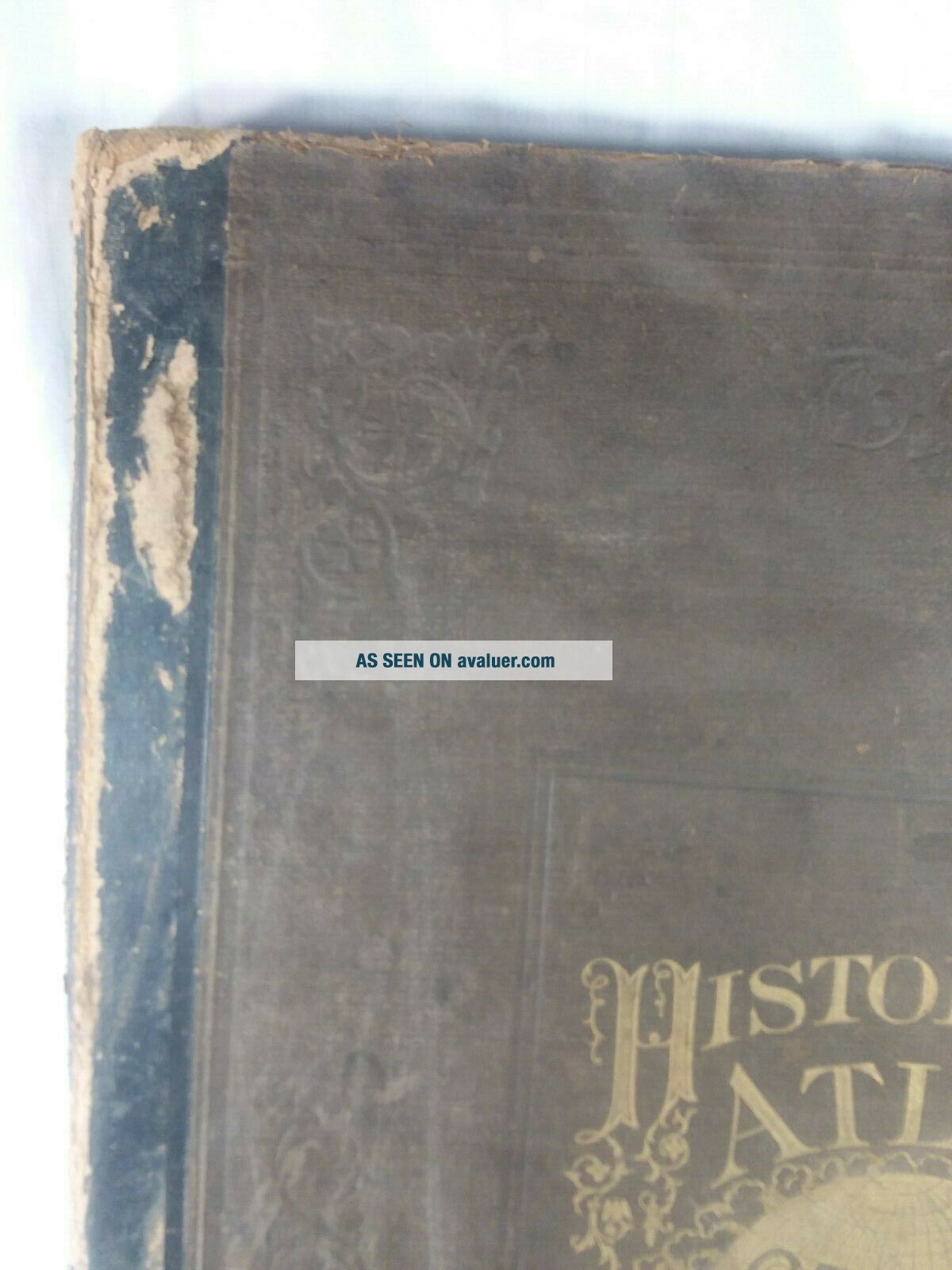
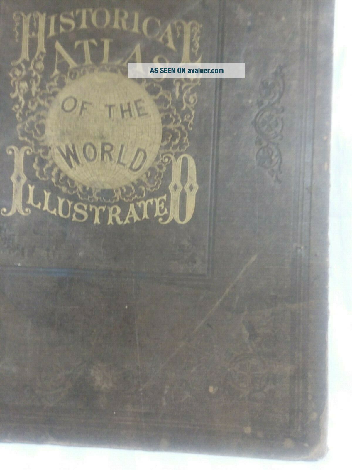
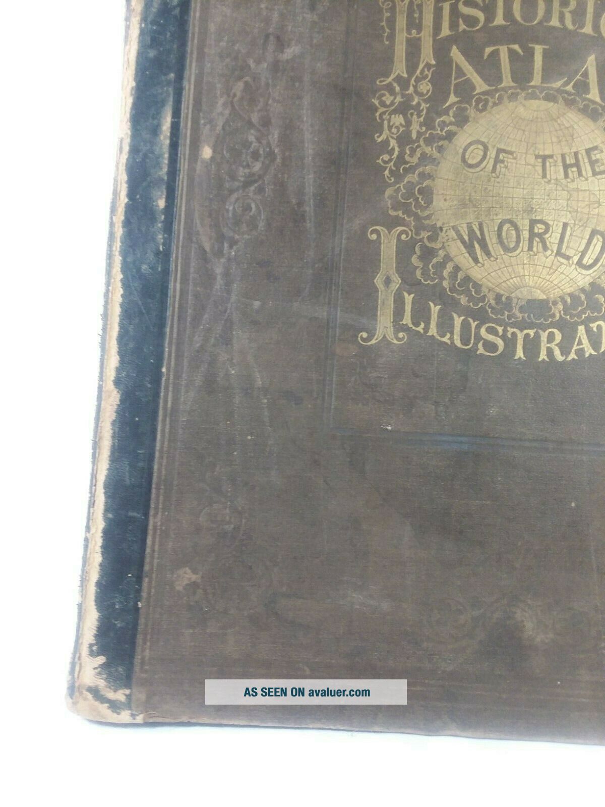
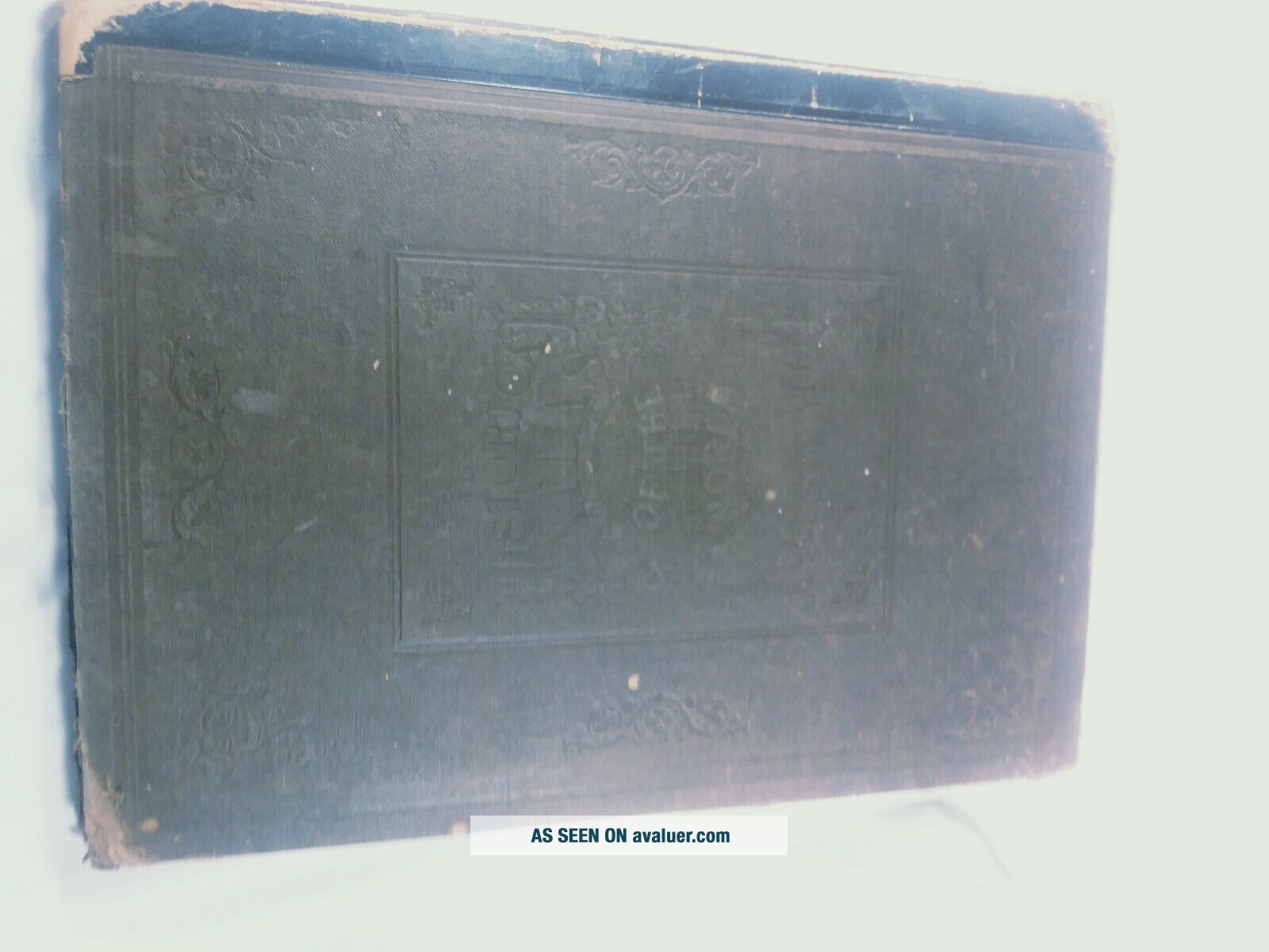
1876 Historical Atlas Of The World Illustrated And Orig U. S. Surveys
Item History & Price
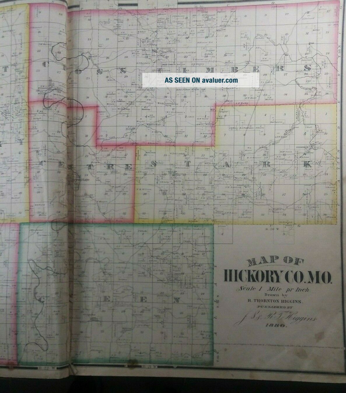
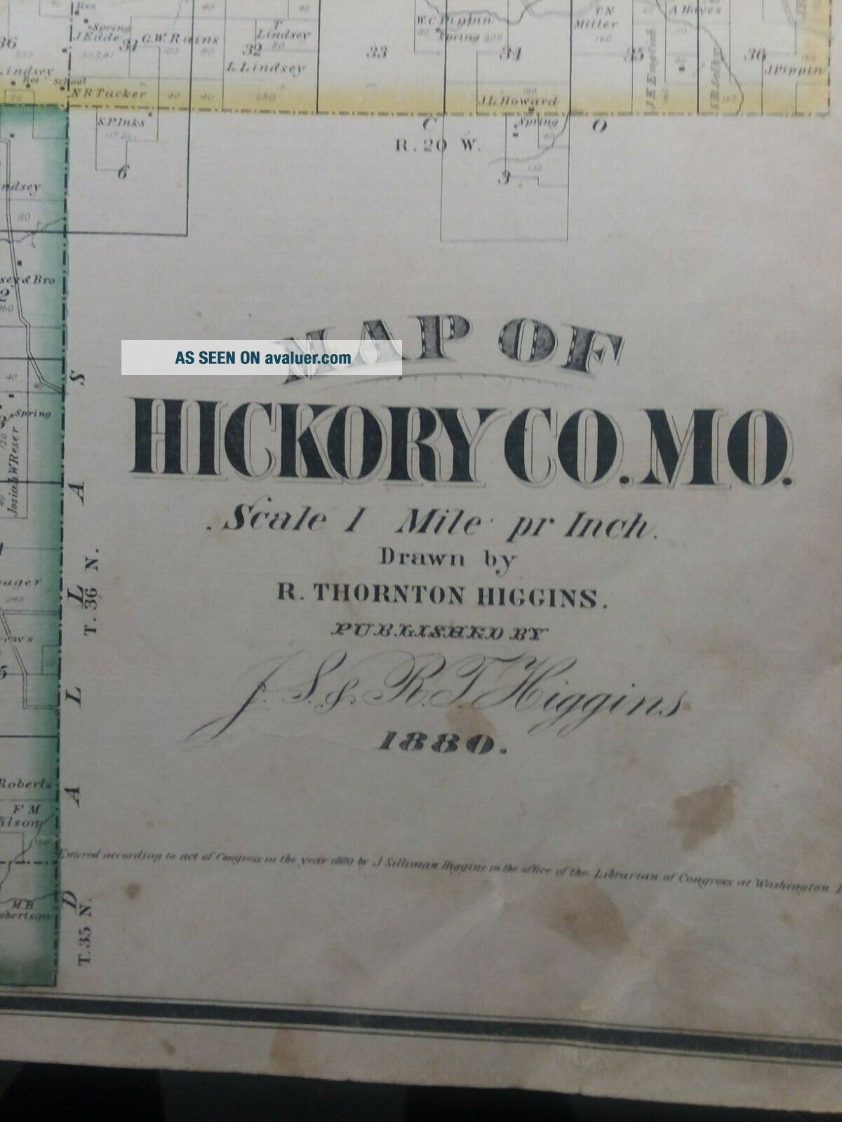
Includes a map of Hickory County Missouri, and a brief history, I can only assume original owner had it added.
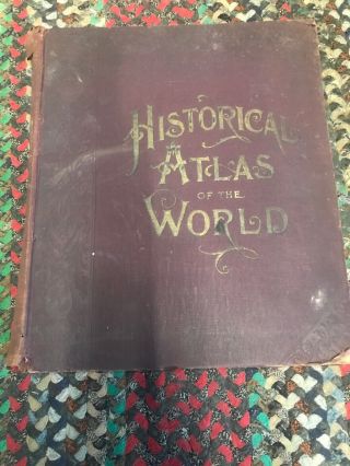
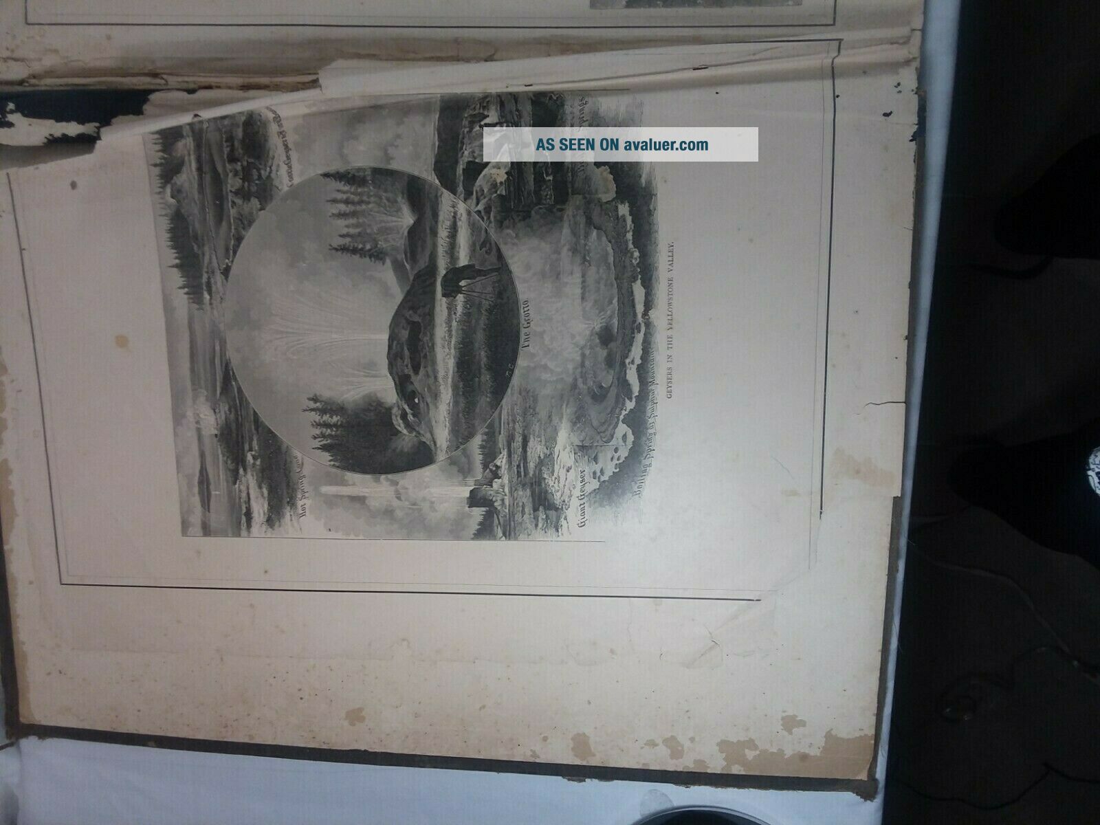
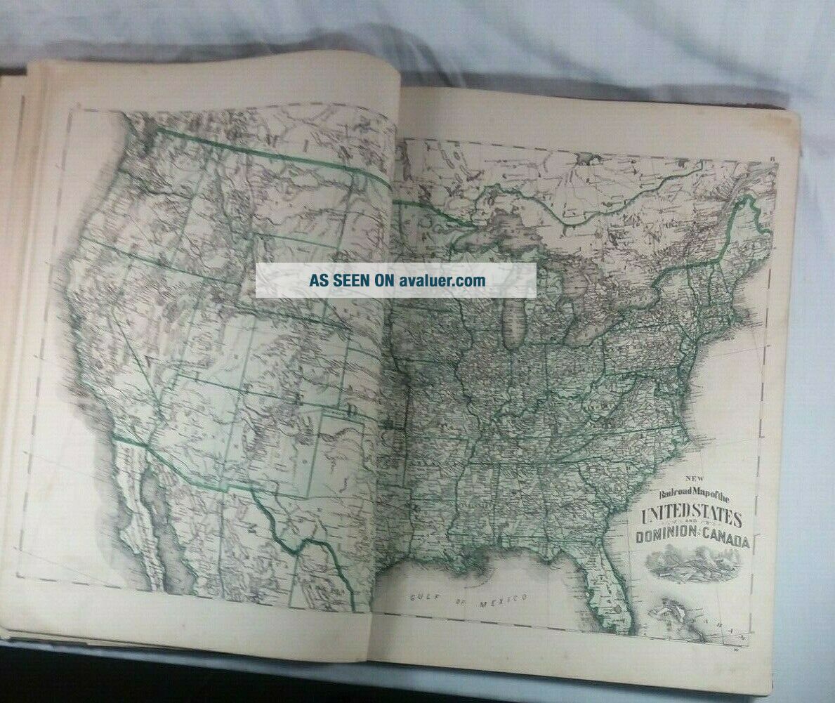
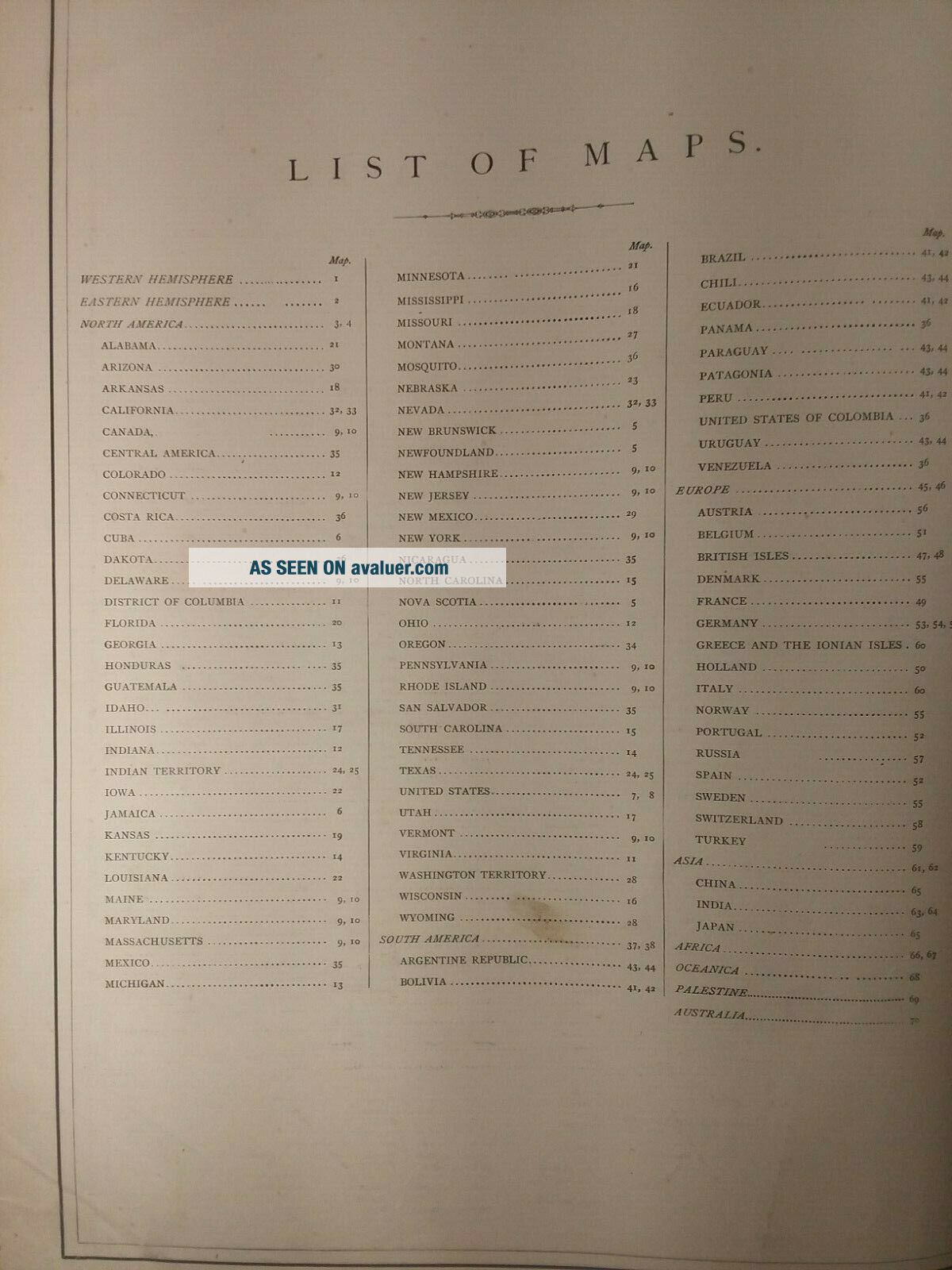
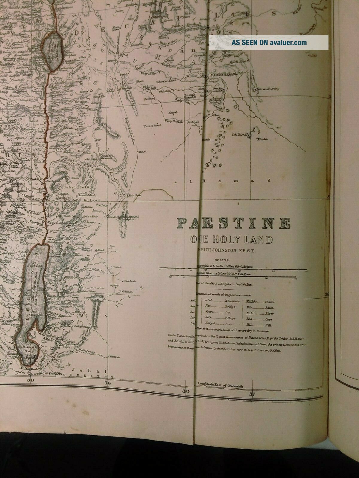
The Atlas' first 2 and last 4 pages are in poor shape, including the map of Palestine which has a cut line vertically as do a few pages before it 3 going to 4 lightly. The rest of the maps are in quite good shape. with very little chips or foxing. Atlas is 14"X 20"
I place this Atlas as Acceptable
Although myhome is smoke and pet free, the items I sell come f...rom estate sales, auctions, barns and attics. I do wipe the dust off, but I do not “clean” items, otherthan take ordinary steps to preserve it. Because of this I recommend that ifyou are a person who is sensitive or allergic to environmental substances youshould not purchase my vintage items.
Wheneverpossible I reuse packaging and boxes.
I ship USPSPriority Mail or Media Mail unless you request otherwise. The buyer will payany additional shipping charges. I charge a small handling fee to cover packingsupplies. I only ship to the lower 48.
Generally, Ido not offer refunds, I do my very best to package your item/s securely.
As a buyer Ibelieve you should leave feedback first, and if you choose to do so I willleave feedback for you.
Ask all thequestions you want, ask for more photos. I will respond as quickly as possible.ThanksBrenda and Andy