C1885 Bacon Map London Street Plan Detailed Old Antique


Item History & Price
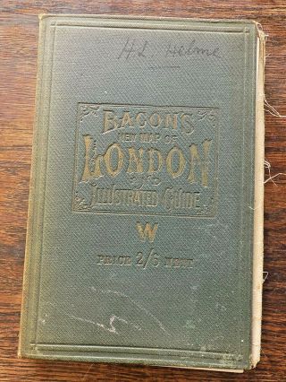
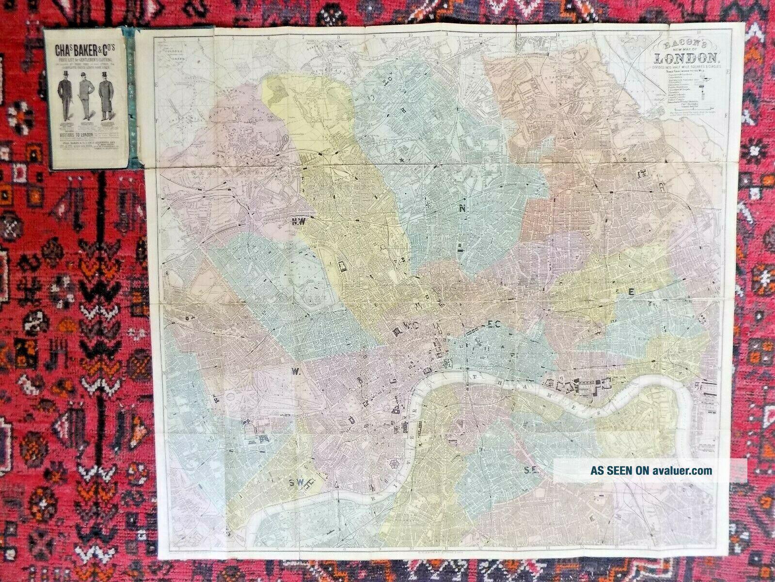
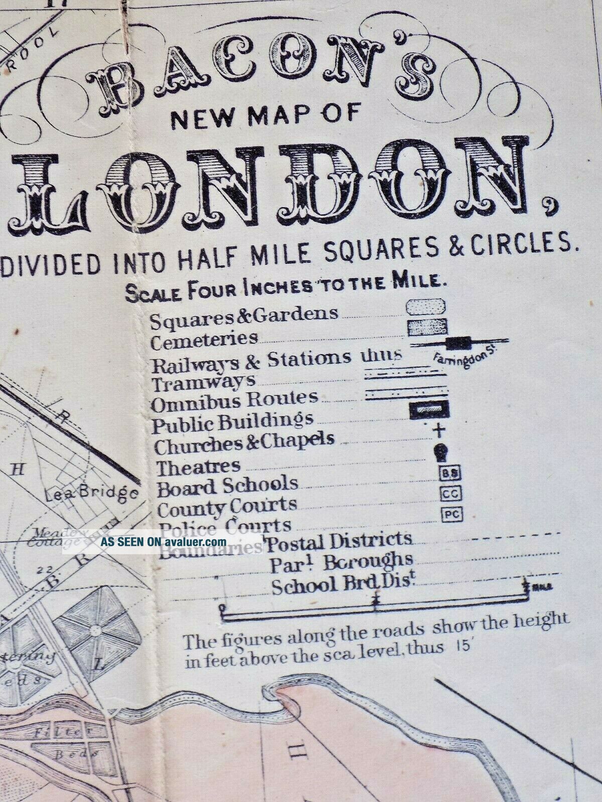
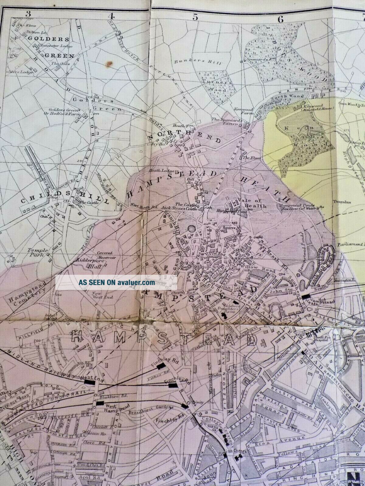
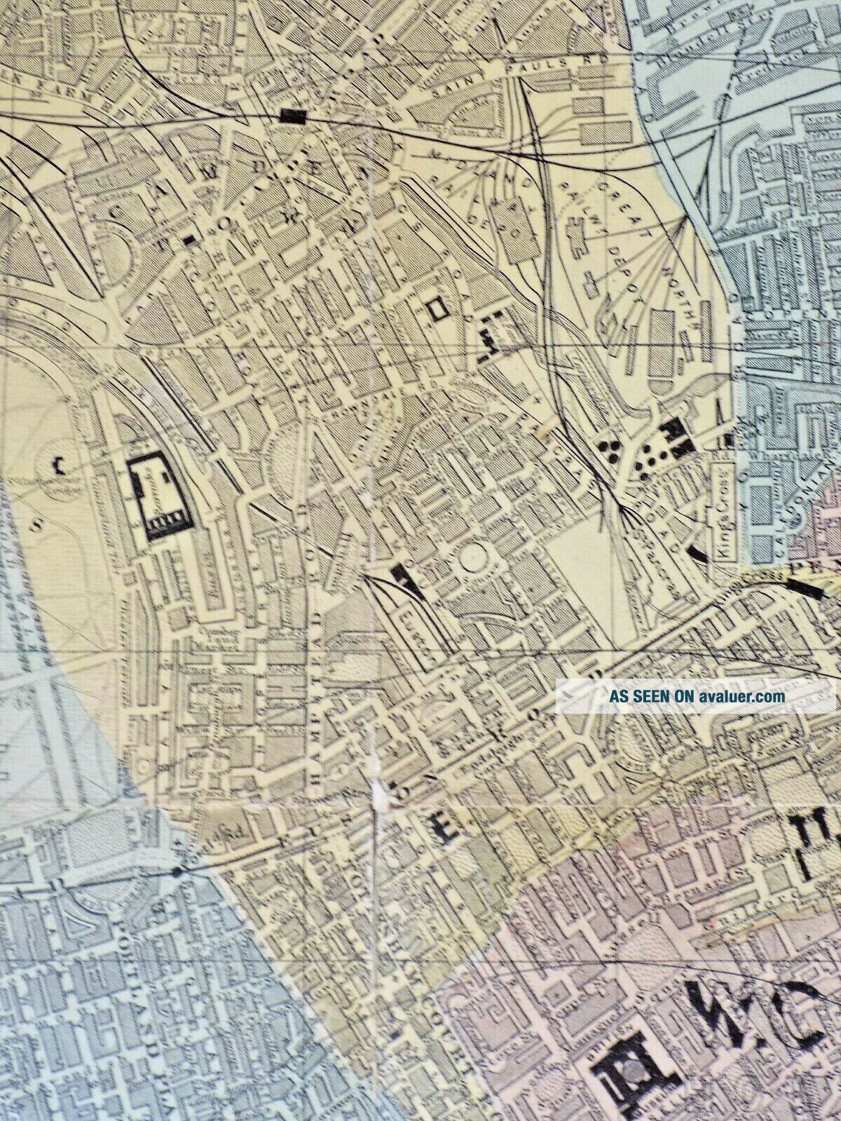
"Bacon's New Map of London, Divided into Half Mile Squares and Circles."A genuine Victorian detailed street plan of London. I have dated it to within a year or two: No Tate Gallery (opened 1897, on this map Millbank Penitentiary still present on the site); No Roseberry Avenue (opened 1890); No Shaftesbury Avenue (opened 1886); but the Royal Courts of Justice in the Strand (opened 1882) are shown.
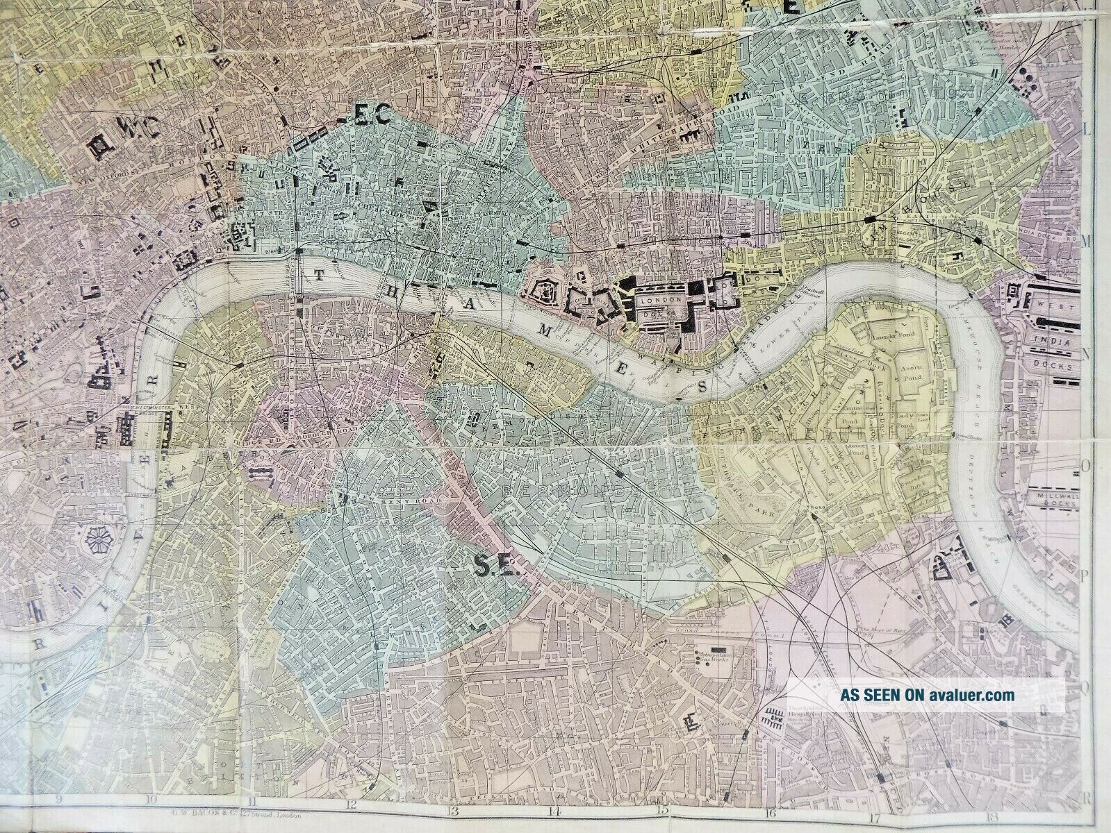
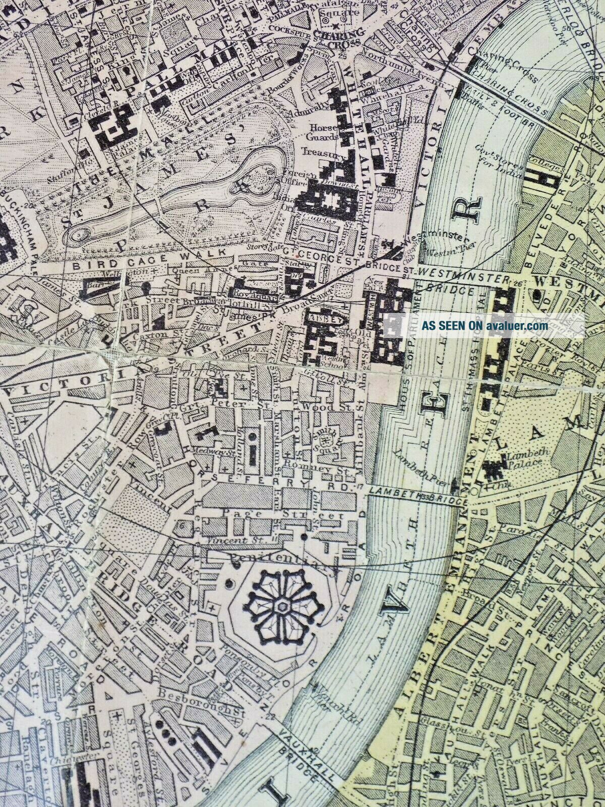
The map, at a scale of 4" to 1 mile, shows wonderful detail, covering an area from Pars...on's Green to Golder's Green in the west, and from Deptford to Leyton Marsh in the east.
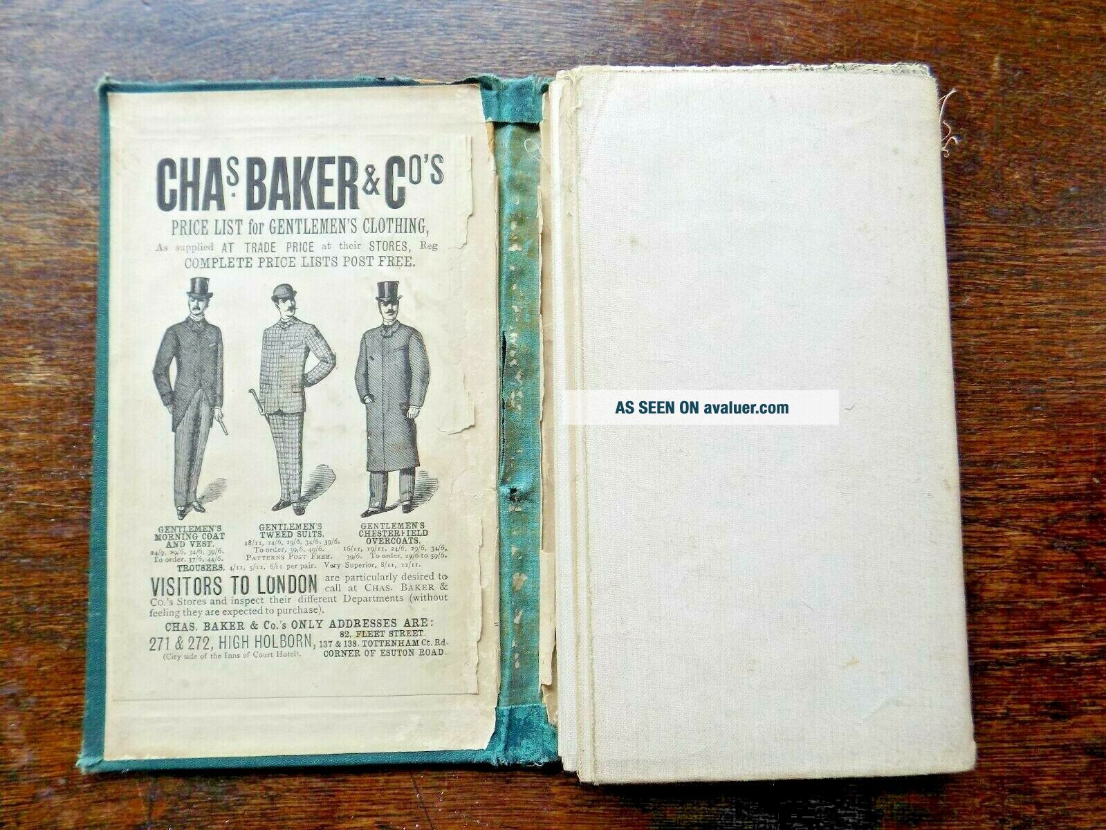
The map is not in mint condition, with wear on the covers, and along the folds, but it still functions well. It is missing its illustrated guide, as advertised on the front.
The map was published by GW Bacon & Co., Ltd., 127 Strand, London. They were at this address from 1870. Size: Unfolded, the map measures 85cms x 77cms. Folded, 20cms x 12cms.Condition: Covers worn, the spine beginning to split but still holding. The map has wear at the folds, with a tear where it joins the covers, but it is all still holding together. Please study the photos.
Free postage within the UK. £8.00 to Europe, £12.00 to USA etc.I have other antique maps, books, prints etc. in my ebay shop - please see my other items.
The map, at a scale of 4" to 1 mile, shows wonderful detail, covering an area from Pars...on's Green to Golder's Green in the west, and from Deptford to Leyton Marsh in the east.
The map is not in mint condition, with wear on the covers, and along the folds, but it still functions well. It is missing its illustrated guide, as advertised on the front.
The map was published by GW Bacon & Co., Ltd., 127 Strand, London. They were at this address from 1870. Size: Unfolded, the map measures 85cms x 77cms. Folded, 20cms x 12cms.Condition: Covers worn, the spine beginning to split but still holding. The map has wear at the folds, with a tear where it joins the covers, but it is all still holding together. Please study the photos.
Free postage within the UK. £8.00 to Europe, £12.00 to USA etc.I have other antique maps, books, prints etc. in my ebay shop - please see my other items.