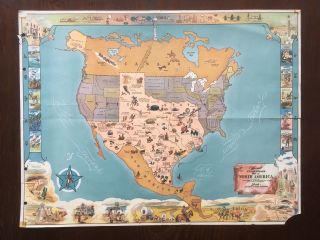
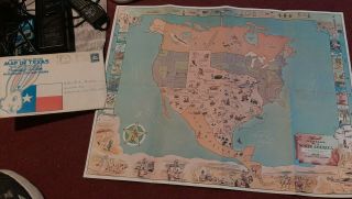
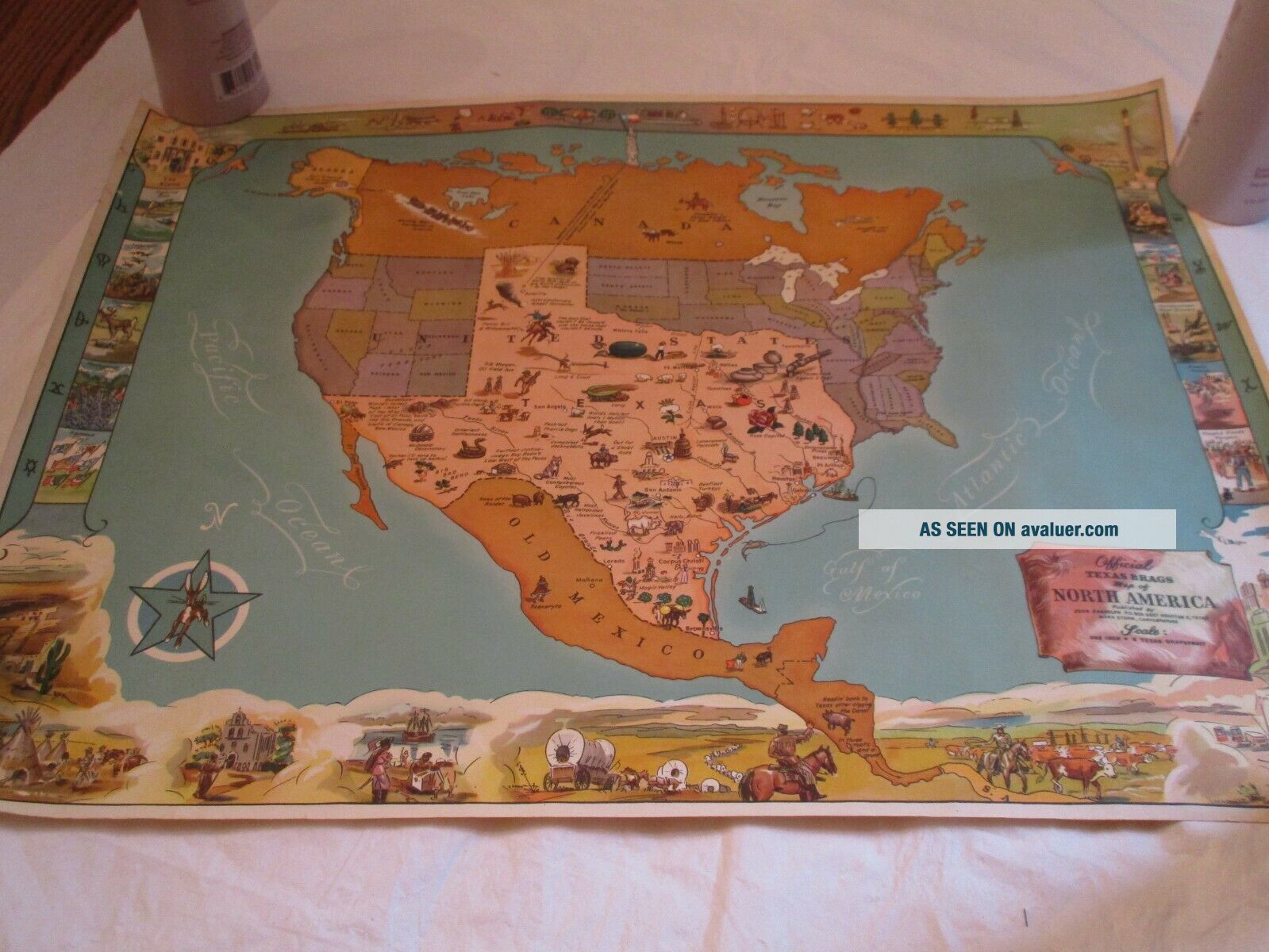
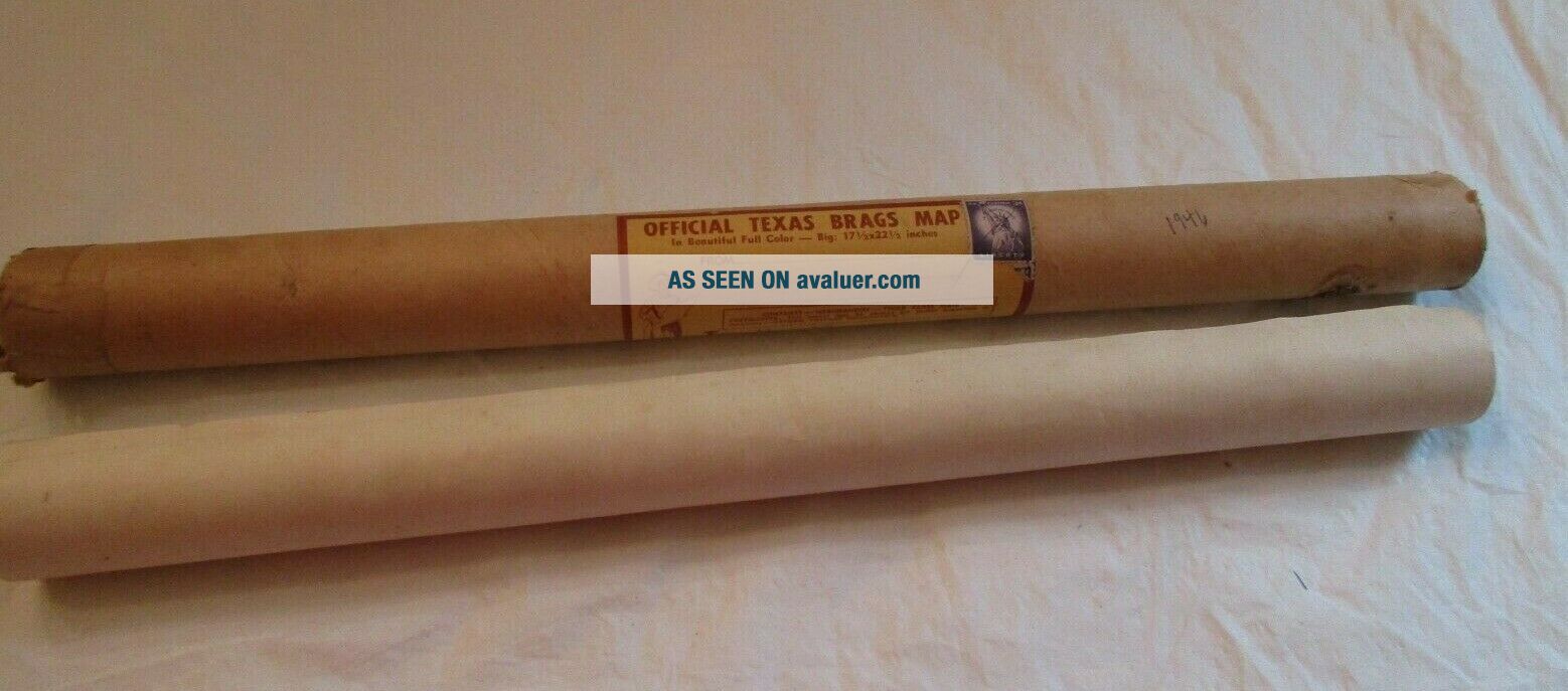
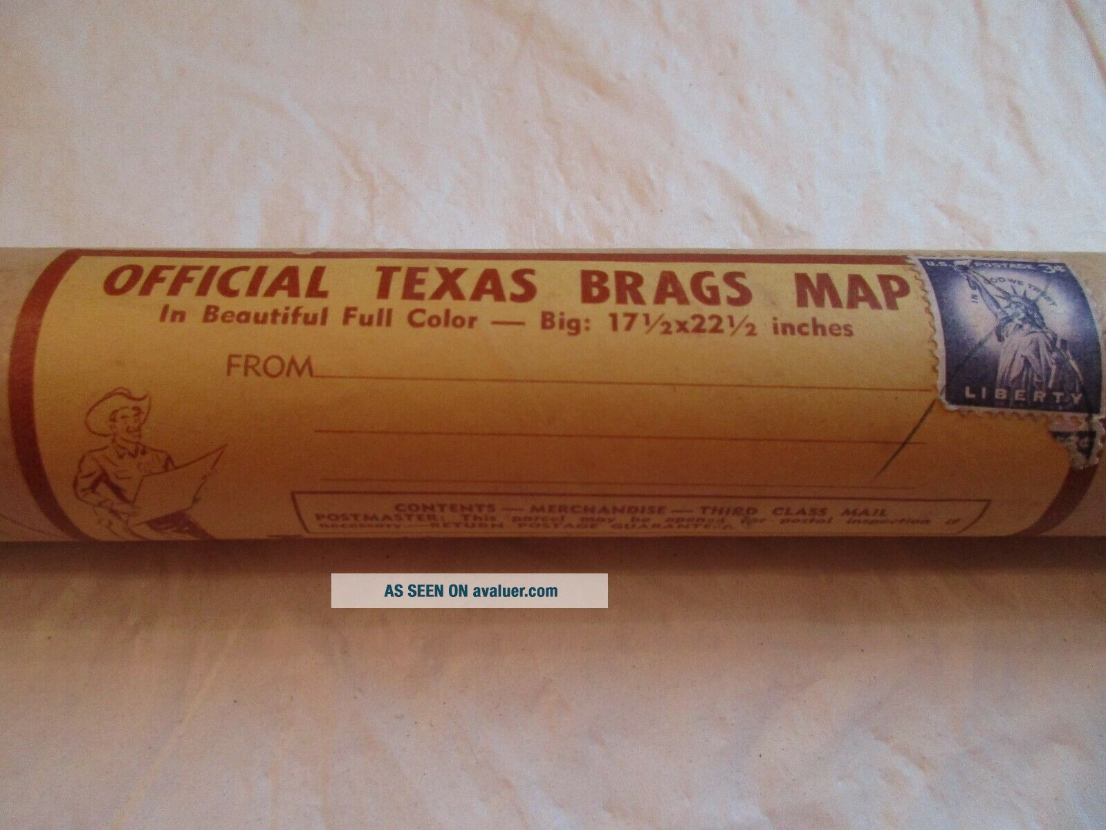
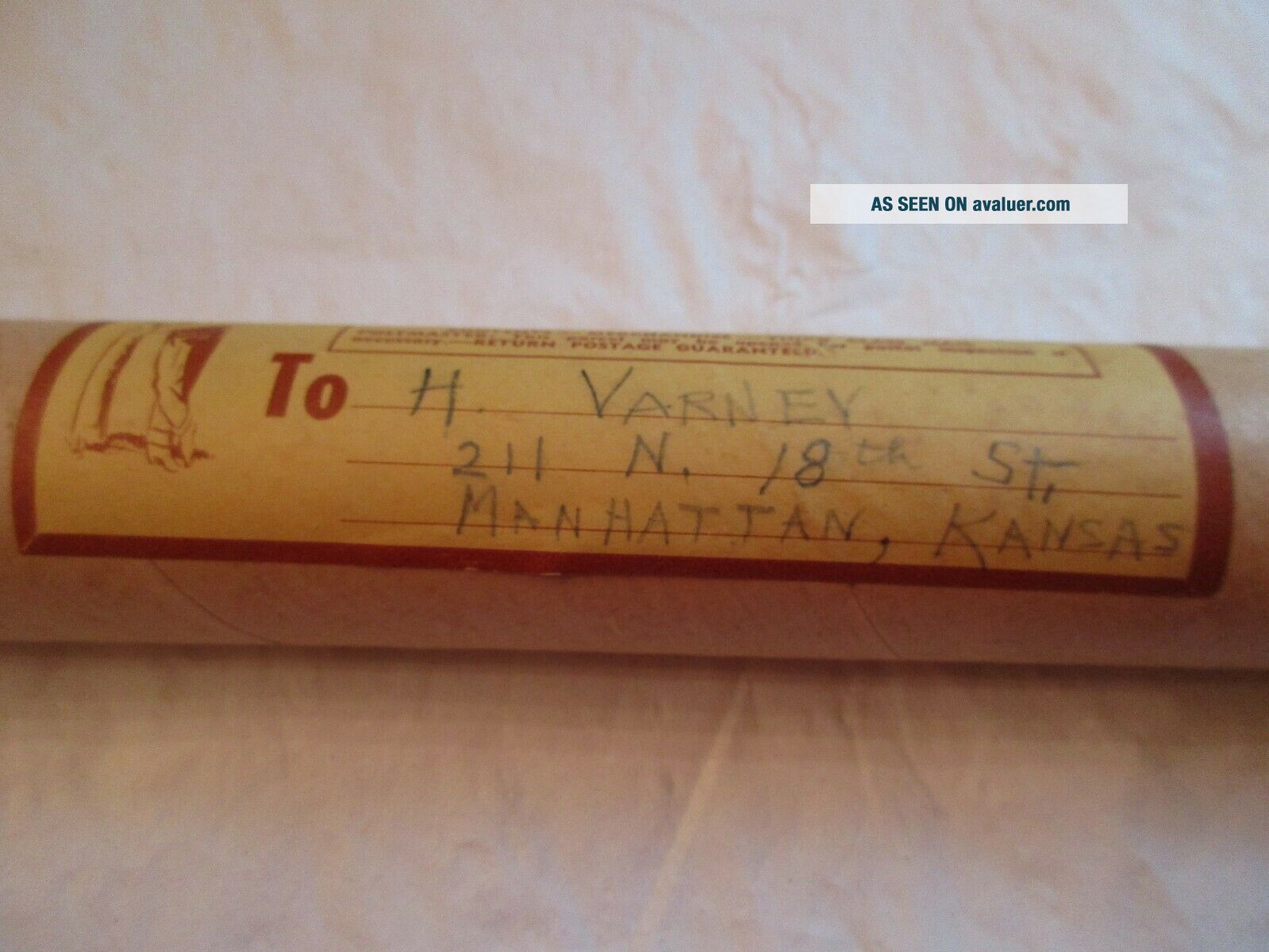
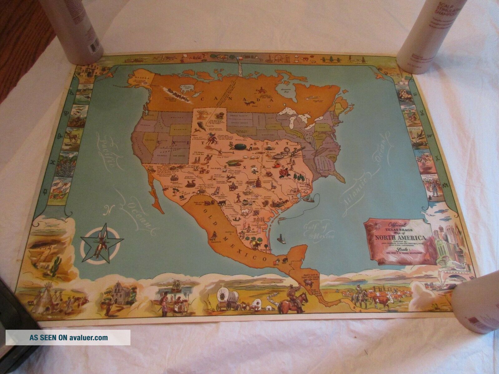
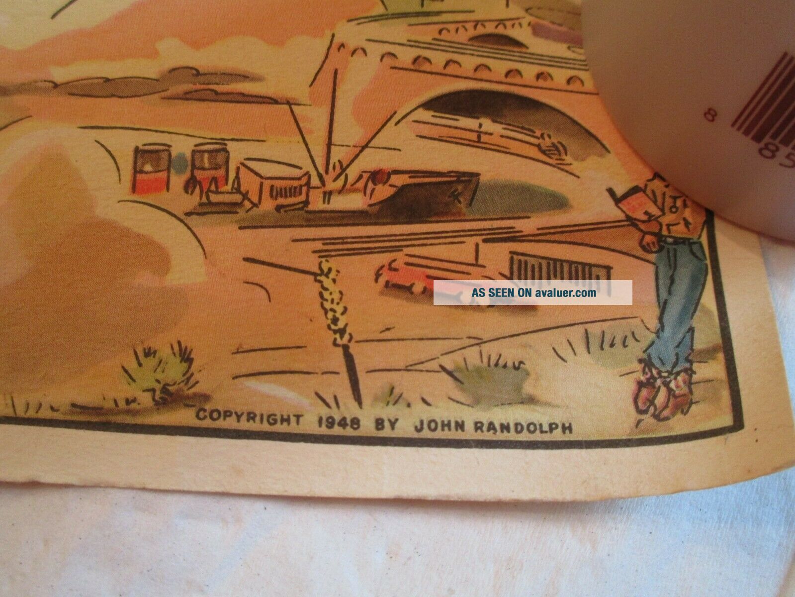
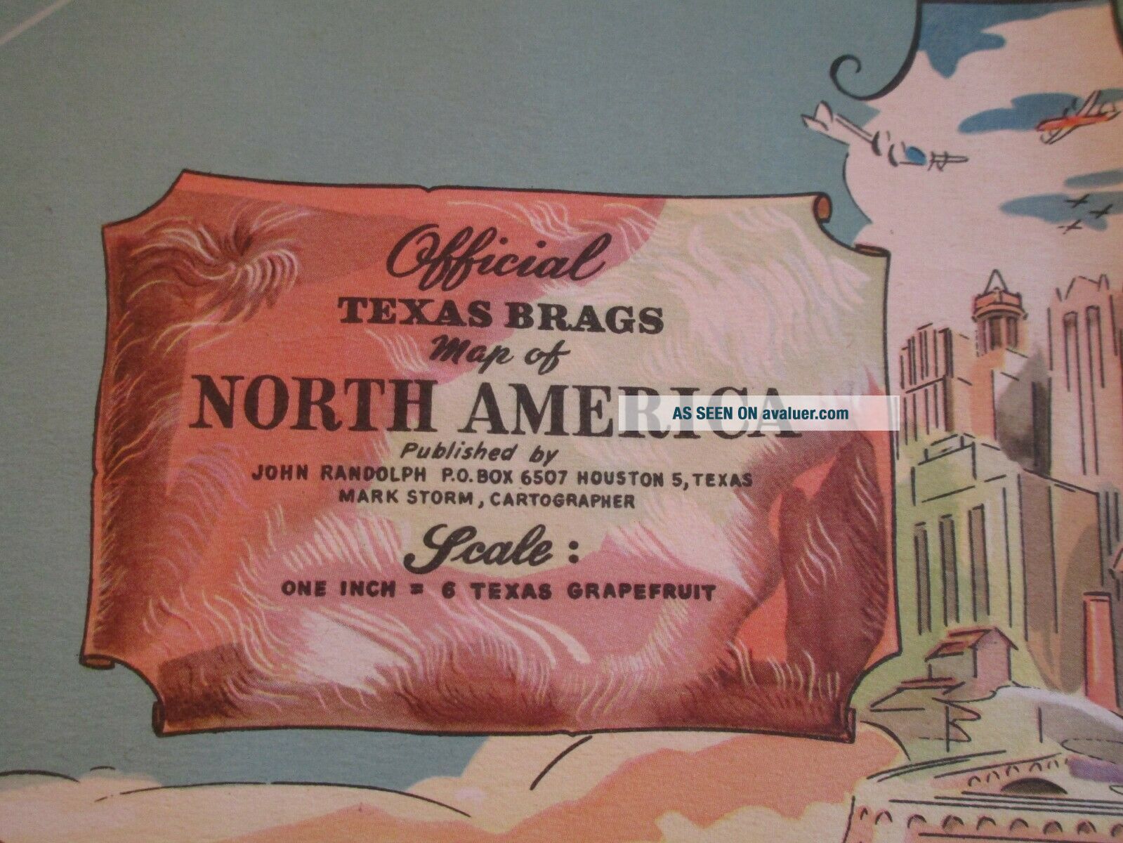
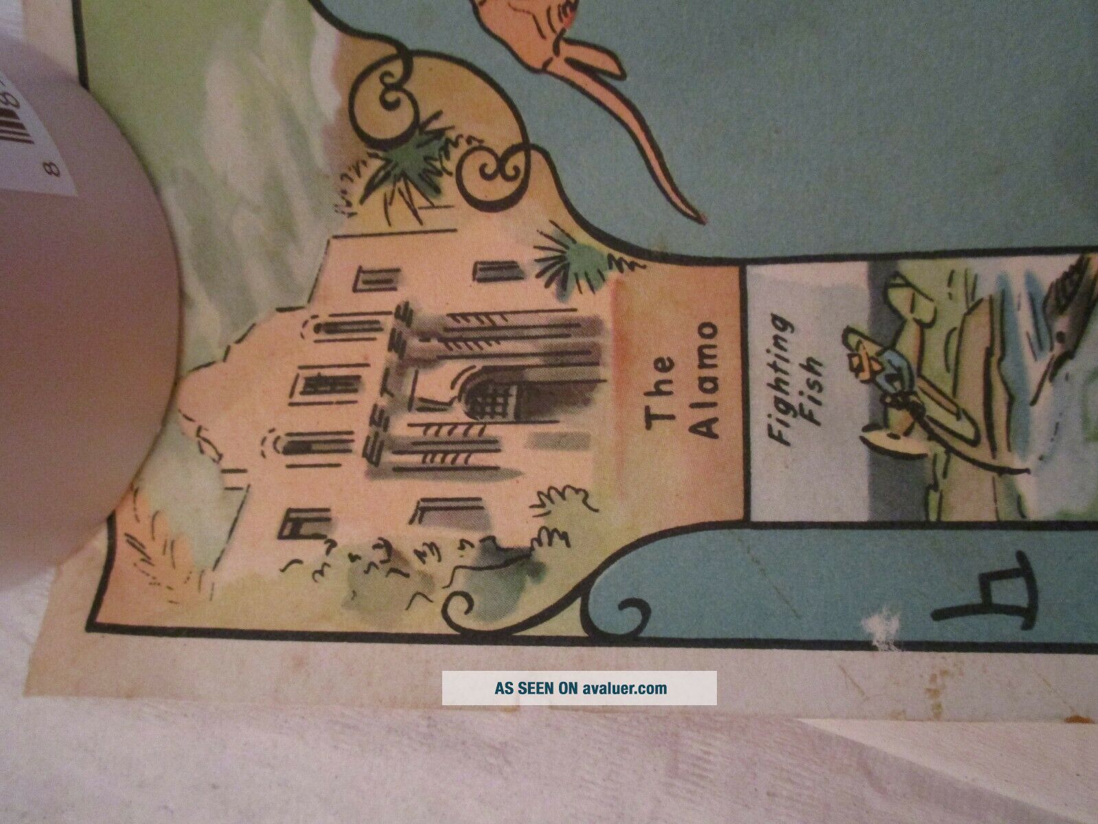
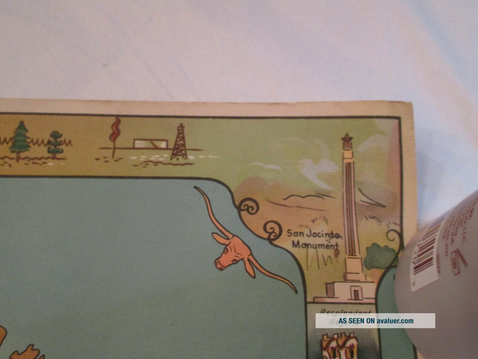
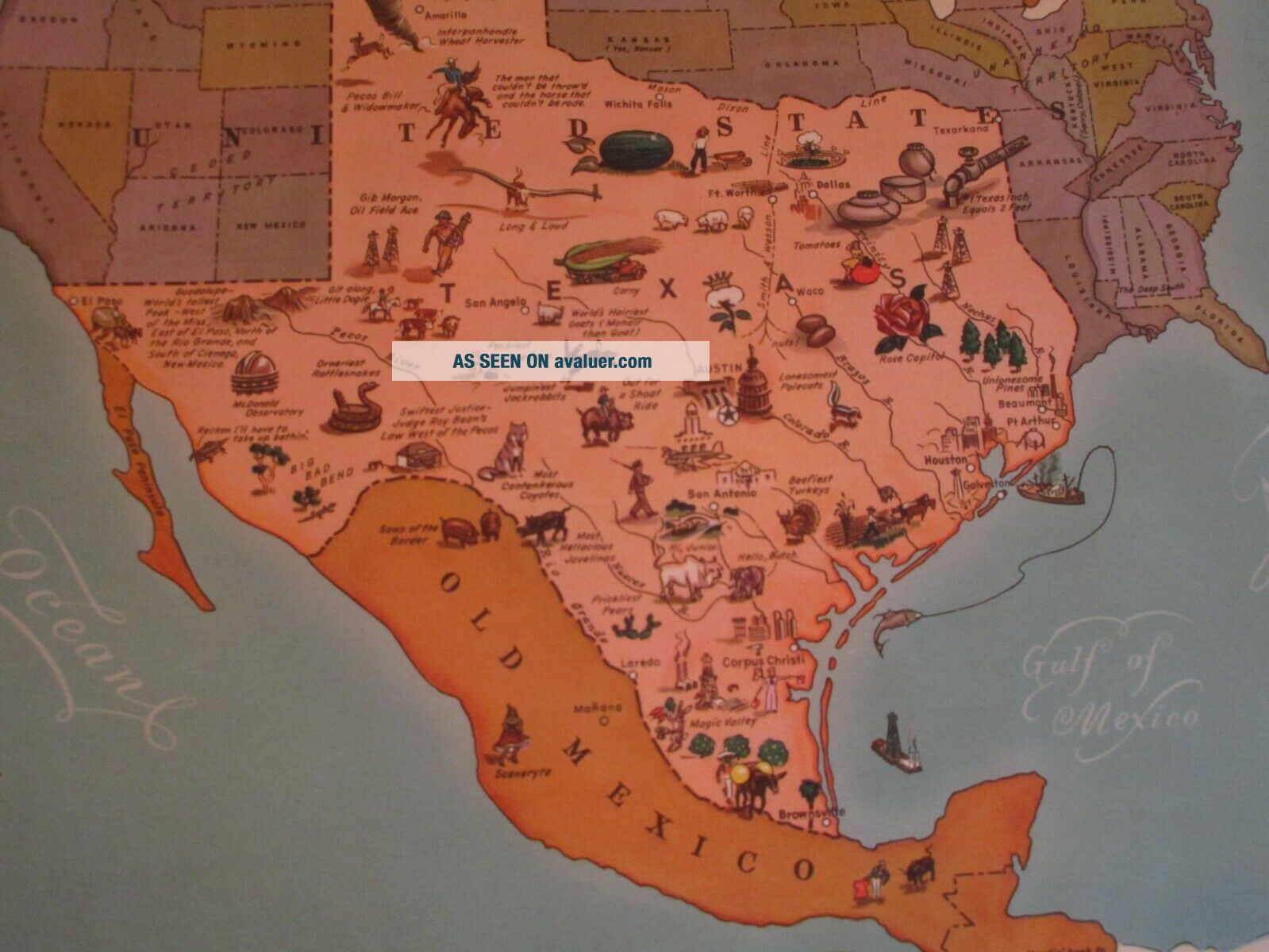
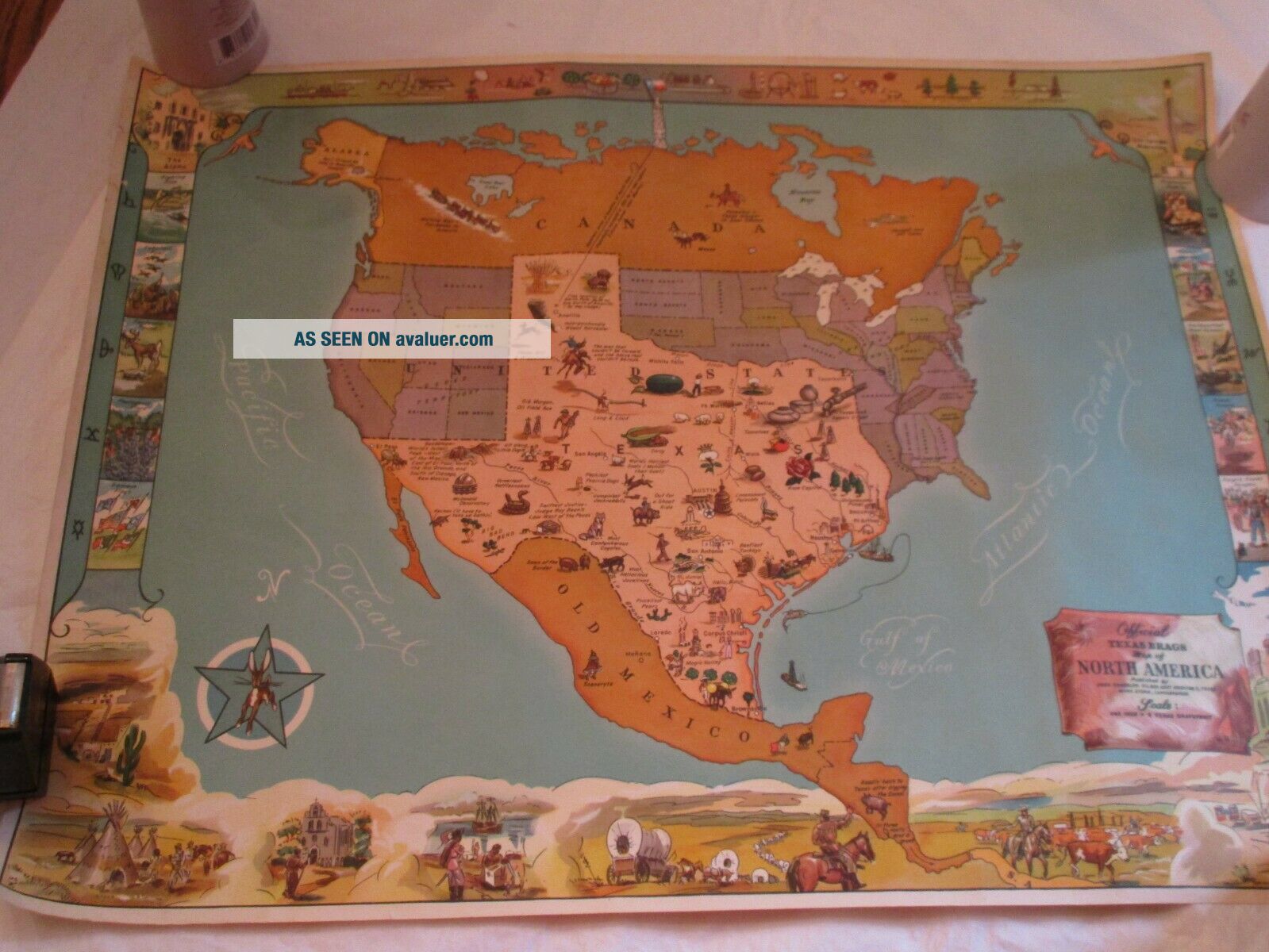
Vintage 1946 TEXAS BRAGS MAP Mailer Tube Sent To Manhattan Kansas


Item History & Price

Information:
Reference Number: Avaluer:11668Original/Reproduction: Vintage Original
Date Range: 1940-1949Type: Novelty Map
Country/Region: Texas, USAYear: 1946
size: 17 1/2 x 22 1/2"US State: Texas
Original Description:
Rare findfun map of Texas in original mailing tube sent to Kansas with a 3 cent stamp


    Similar items


  • Rare Vintage 1948 Texas Brags Map Of North America,  John Randolph,  Mark Storm

    Rare Vintage 1948 Texas Brags Map Of North America, John Randolph, Mark Storm

  • John Randolph 1948 Official Texas Brags Map Of North America W/ Mailer

    John Randolph 1948 Official Texas Brags Map Of North America W/ Mailer

  • 22x29 Vintage 1946 Usgs Topo Map Cureall,  Missouri Bakersfield Pottersville

    22x29 Vintage 1946 Usgs Topo Map Cureall, Missouri Bakersfield Pottersville

  • Vintage 1946 Sight Seeing Map Of The Hudson River

    Vintage 1946 Sight Seeing Map Of The Hudson River

  • 22x29 Vintage 1946 Usgs Topo Map Millersburg,  Missouri Carrington Cedar Creek

    22x29 Vintage 1946 Usgs Topo Map Millersburg, Missouri Carrington Cedar Creek

  • Large Vintage 1946 Baltimore,  Md Map (army Map Service 22 " X 29 " Topo)

    Large Vintage 1946 Baltimore, Md Map (army Map Service 22 " X 29 " Topo)

  • Vintage 1946 Usgs Topographical Map Of Gardner,  Ma Massachusetts - Unfolded

    Vintage 1946 Usgs Topographical Map Of Gardner, Ma Massachusetts - Unfolded

  • Vintage 1946 Emerson Model 508 - 4 Tube Portable Am Radio Cream Brown

    Vintage 1946 Emerson Model 508 - 4 Tube Portable Am Radio Cream Brown


    • You might also like


    • 1860 Mitchell Hand Colored Map Colorado,  Nebraska & Kansas - Civil War Era

      1860 Mitchell Hand Colored Map Colorado, Nebraska & Kansas - Civil War Era

    • 18th Century French Map Of North America

      18th Century French Map Of North America

    • Las Vegas Nevada Vintage 1967 Us Geological Survey Quadrangle Map 4 Panels

      Las Vegas Nevada Vintage 1967 Us Geological Survey Quadrangle Map 4 Panels

    • Rare Antique 1845 Maps United States Exploring Expedition Book Antartica Hawaii

      Rare Antique 1845 Maps United States Exploring Expedition Book Antartica Hawaii

    • Vintage 1926 Map Hollywood From The Best Surveys Of The Time

      Vintage 1926 Map Hollywood From The Best Surveys Of The Time

    • American Continent (western Hemisphere) 1747 Bowen Antique Copper Engraved Map

      American Continent (western Hemisphere) 1747 Bowen Antique Copper Engraved Map

    • Gulf Coast Florida Texas United States 1705 De Fer Unusual Antique Engraved Map

      Gulf Coast Florida Texas United States 1705 De Fer Unusual Antique Engraved Map

    • California As Island United States 1700 De Fer Unusual First Edition Antique Map

      California As Island United States 1700 De Fer Unusual First Edition Antique Map

Avaluer          About Us          Privacy Policy          Contact Us          UP
© 2022, avaluer.net, Inc. or its affiliates