Antique Map BRITISH ISLES, ENGLAND, IRELAND, La Feuille, Baeck ? C. 1710
Item History & Price
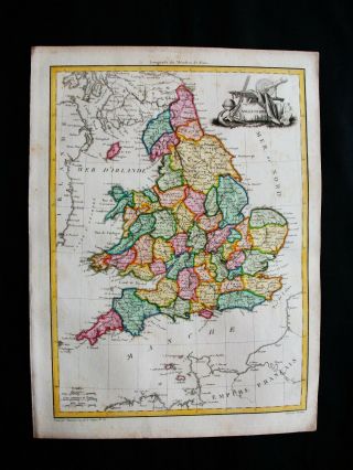
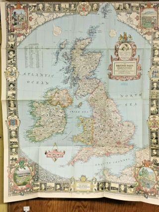
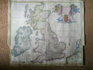
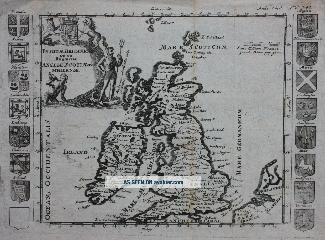
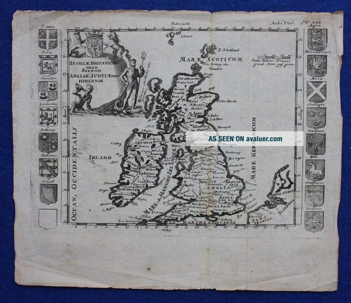
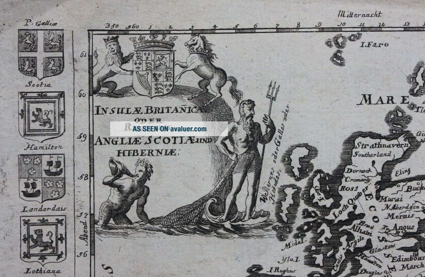
Title / Subject: Insulae Britanicae oder Regnum Angliae Scotiae und Hiberniae
Date: c.1710 (German edition)
Size: approximately 200mm x 1455mm (printed area only, including armorial shields), margins beyond, blank verso.
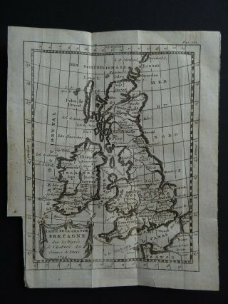
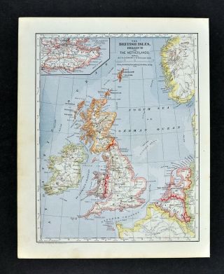
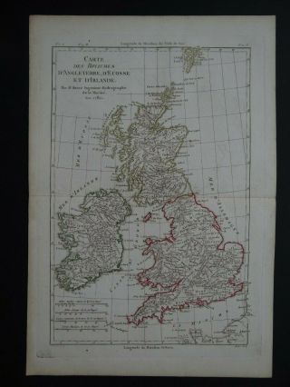
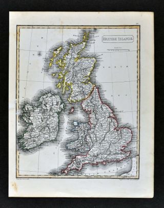
Description: An intriguing and scarce original, antique, copper engraved map of the British Isles. It is printed on hand laid paper and is flanked by 16 armorial shields. The map is unsigned and it has been impossible to locate an identical copy anywhere else.... It is very similar to Elias Baeck's map of the British Isles but lacks the descriptive banner at the top. Even more promisingly it is almost identical to Daniel de La Feuille's map having the same title cartouche, shields, distance scale and lines of latitude and longitude. However, a close examination of the title cartouche shows subtle differences in the engraving (e.g. Neptune's left hand).
Cartographer / Engraver: Unknown; very similar to maps by Daniel de La Feuille & Elias Baeck
Condition: Good condition. Age toning. Some creasing at the edges of the sheet. Two vertical folds, probably as published. Please study all the photographs carefully to fully appreciate the condition.
Ref: #03396
Date: c.1710 (German edition)
Size: approximately 200mm x 1455mm (printed area only, including armorial shields), margins beyond, blank verso.
Description: An intriguing and scarce original, antique, copper engraved map of the British Isles. It is printed on hand laid paper and is flanked by 16 armorial shields. The map is unsigned and it has been impossible to locate an identical copy anywhere else.... It is very similar to Elias Baeck's map of the British Isles but lacks the descriptive banner at the top. Even more promisingly it is almost identical to Daniel de La Feuille's map having the same title cartouche, shields, distance scale and lines of latitude and longitude. However, a close examination of the title cartouche shows subtle differences in the engraving (e.g. Neptune's left hand).
Cartographer / Engraver: Unknown; very similar to maps by Daniel de La Feuille & Elias Baeck
Condition: Good condition. Age toning. Some creasing at the edges of the sheet. Two vertical folds, probably as published. Please study all the photographs carefully to fully appreciate the condition.
Ref: #03396