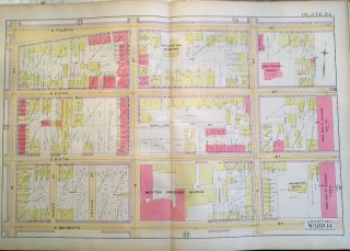
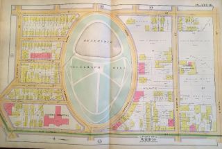
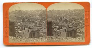
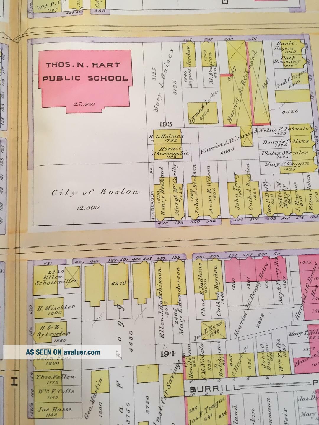
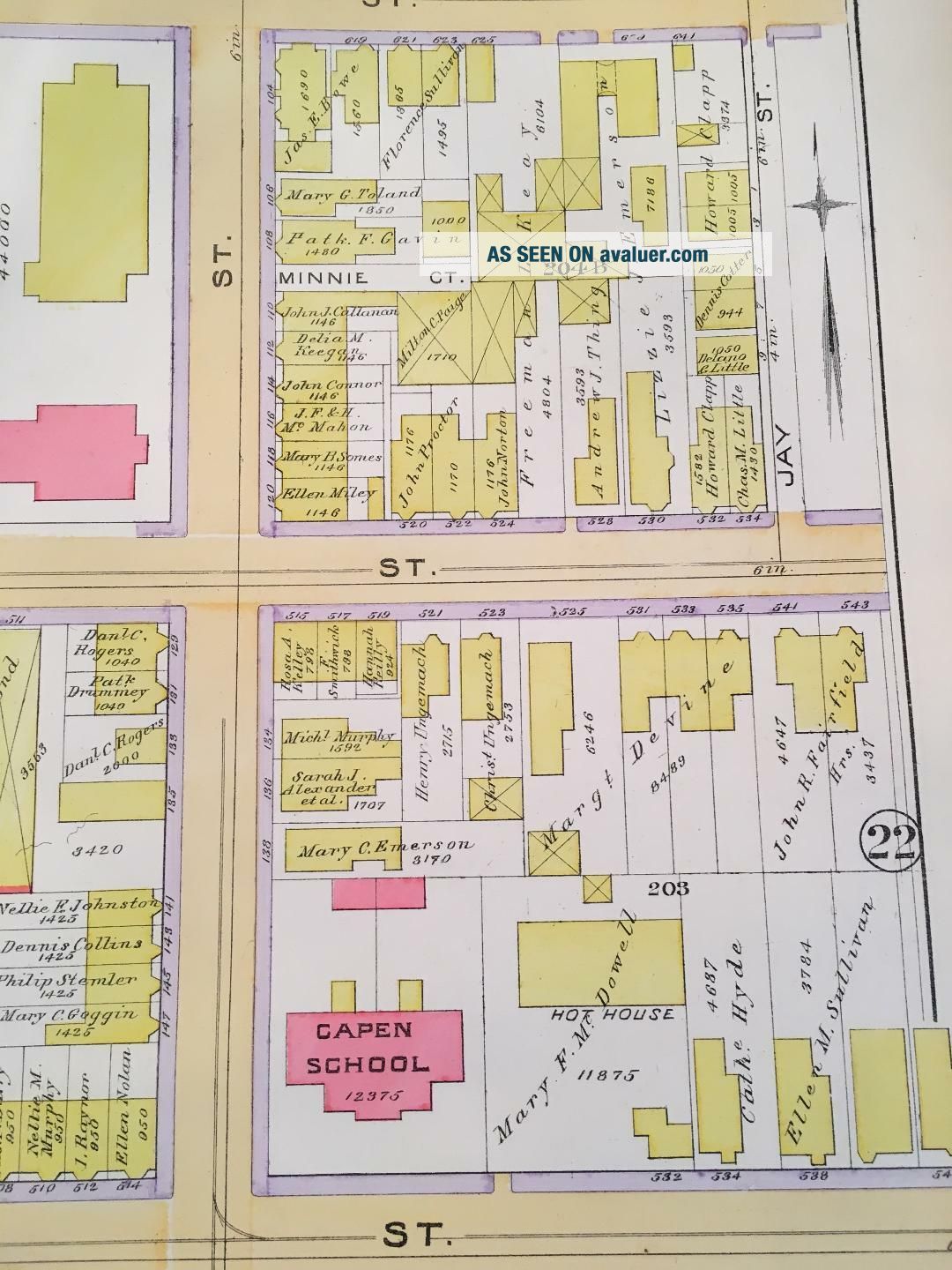
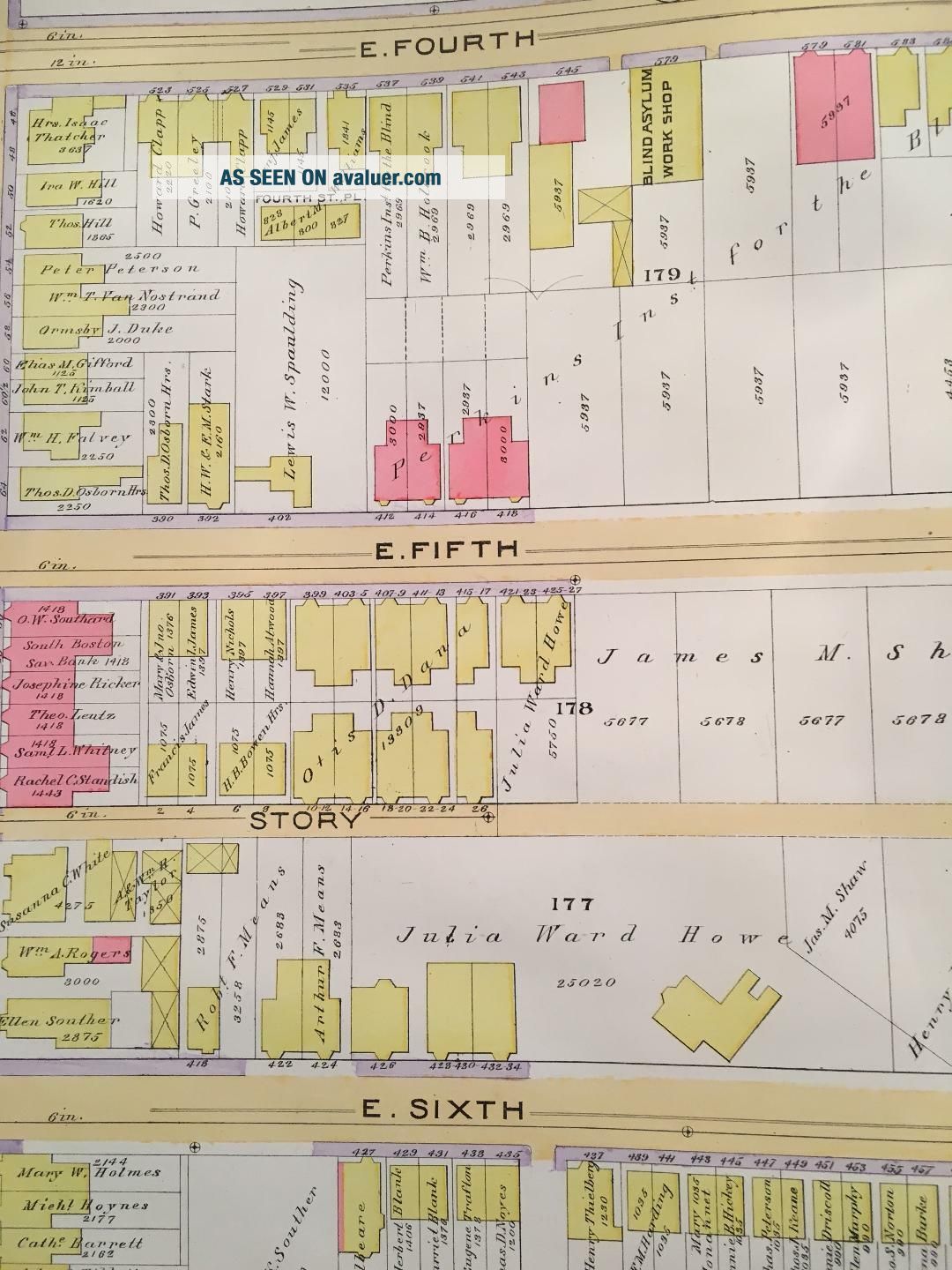
1891 SOUTH BOSTON TELEGRAPH HILL MASSACHUSETTS GATES OF HEAVEN CHURCH ATLAS MAP

Item History & Price
| Reference Number: Avaluer:12014 | Original/Reproduction: Original |
| Year: 1910 |
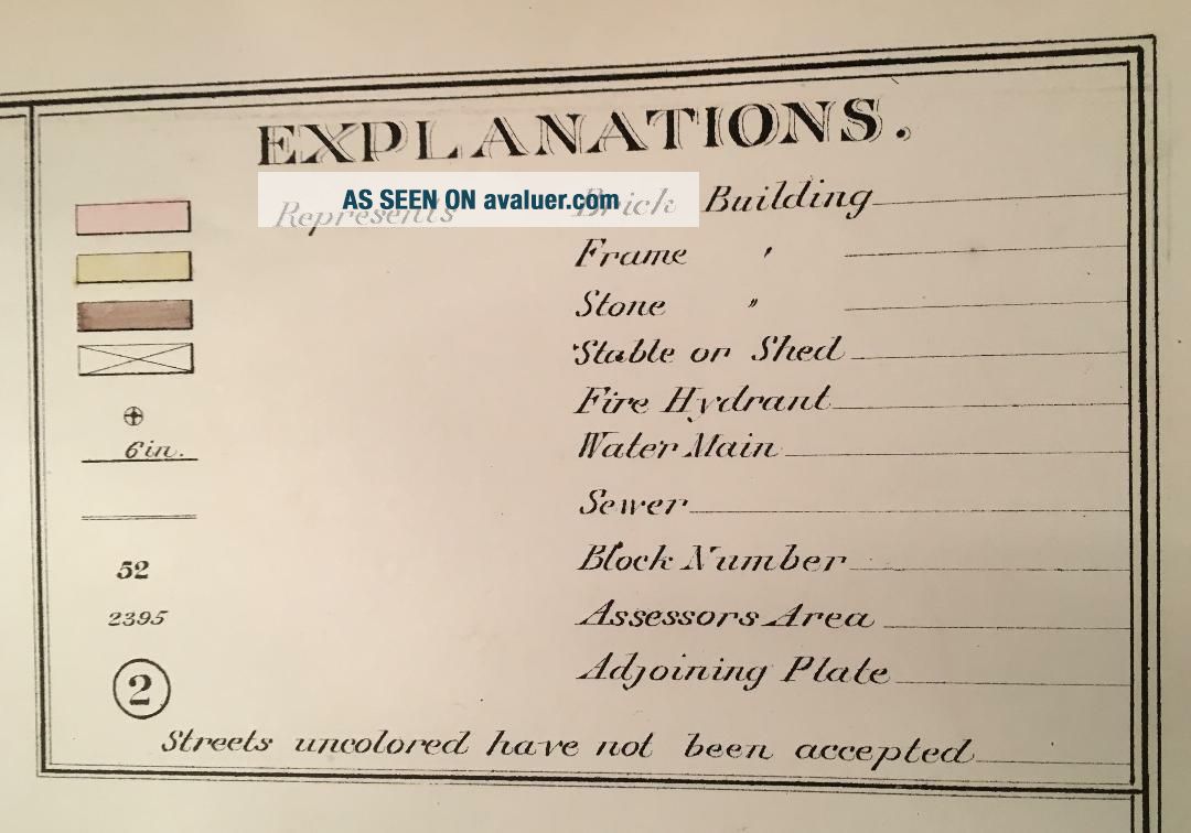
This is an original 1891 G.W. Bromley plat atlas map of South Boston, Massachusetts. It includes Telegraph Hill, Gates of Heaven Church, Thomas Hart, Capen and Joseph P. Tynan Schools, Phillips Chapel and other noteworthy buildings and structures. It is in EX+ condition.Plate 18 covers from: G Street to Jay Street and from East 4th Street to East 7th Street.Each colorrepresents a different type of building: Pink is Brick, Yellow is Frame andBrown is Stone. Pink Bo...x with an X = Brick Stable or Barn and Yellow Box withan X = Frame Stable or Barn. See key for what all the symbols indicate.
I am selling my collection of rare maps. If there is a street address of Manhattan, Brooklyn, Queens, Bronx, Staten Island, Long Island, Rochester, Buffalo, Elmira, Newark, Atlantic City, Essex County, Montgomery County, Bergen County, Cleveland, Toledo, Kansas City, Washington, D.C., New Haven, Bridgeport, Toronto, Montreal, Vancouver, Portland, Maine, Seattle, Los Angeles, Denver, Boston, South Boston, Dorchester, Roxbury, Everett, Worcester, Brookline, Quincy, Newton, Malden, Lawrence, Middlesex County, Philadelphia, Pittsburgh, Harrisburg, Wilkes-Barre, Reading, Berks County, Delaware County, Montgomery County and other cities that you are interested in, please check out my other listings or contact me. I have insurance maps from 1880 to mid-1950s. Looks great framed! Check out my other items!
00054