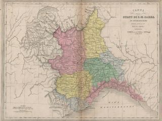
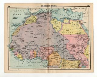
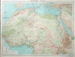
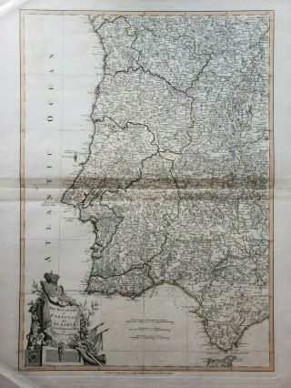
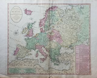
Antique Map Of Northern Africa, The Iberian Peninsula And Mediterranean


Item History & Price
NEW WORLD CARTOGRAPHIC
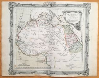
Carte des Régences de l'Alger, de Tunis en de Tripoli, avec l'Empire de Maroc
By: Herisson
Date: 1738 (dated)
Dimensions: 21 x 31.5 inches
This large format map of the Mediterranean can best be described by translating the title, which reads "Map of the Algiers Regencies of Tunis and Tripoli, with the Empire of Morocco; including also all the basins of the Mediterranean and a large part of the States which form its European limits." The m...ap is rather scarce in this state and includes inset plans of the city of Alger and another of the surrounding area. Political divisions are outlined in color and detail is rendered to the mountains, rivers, coastline, and locations of numerous towns a cities. Ten different scales of distance is provided in the lower portion of the map.
Condition: This map is in B+ condition with some light toning along the centerfold, original outline coloring, and full margins on all sides.