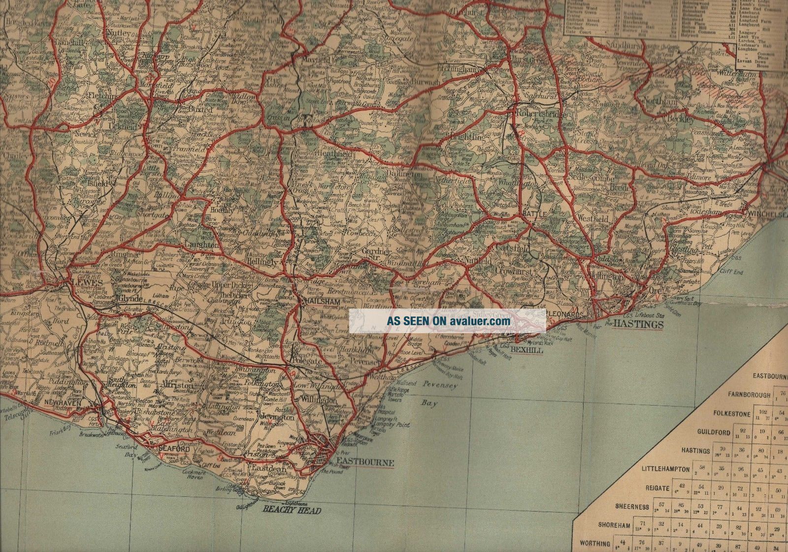
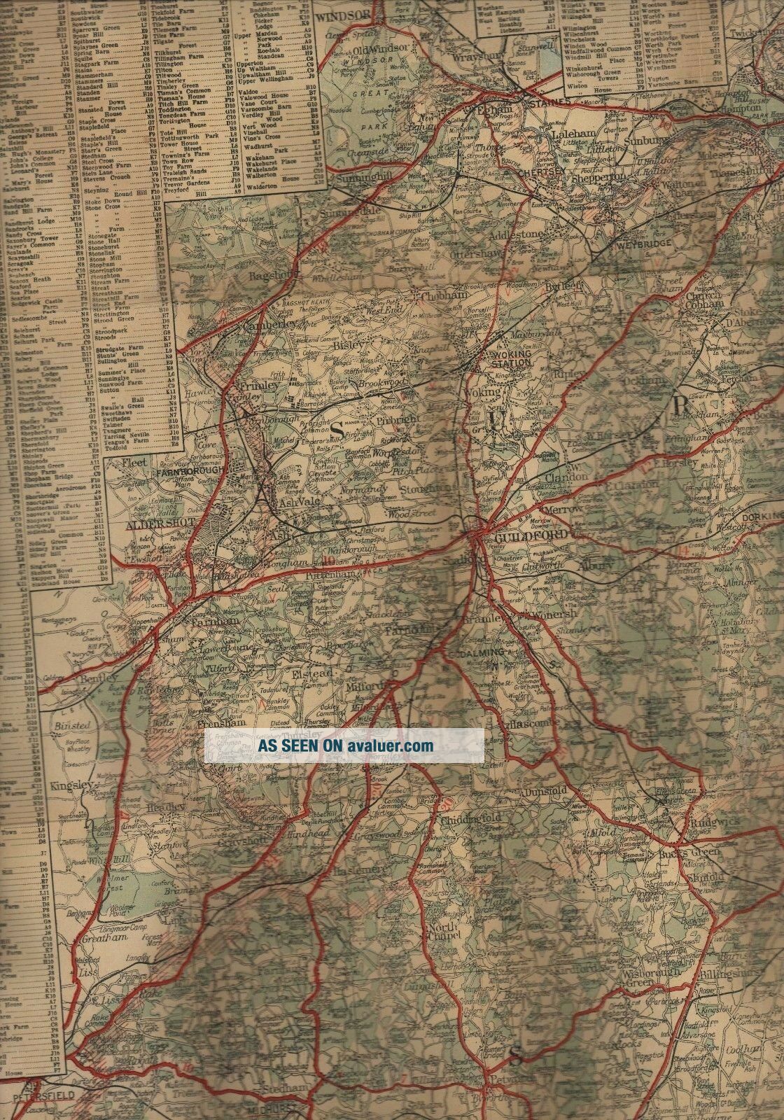
SURREY & SUSSEX. Vintage Large 100 X 76 Cm. Map Linen Alexander Gross W3. 116


Item History & Price

Information:
Reference Number: Avaluer:1233118County: Herefordshire
Type: Topographical MapCartographer/Publisher: Alexander Gross
Date Range: 1800-1899Original/Reproduction: Antique Original
Country/Region: United KingdomFormat: Sheet Map
Original Description:
LINEN
Map

100 x 76  cm. 
With Distances by Road, Rail, Air
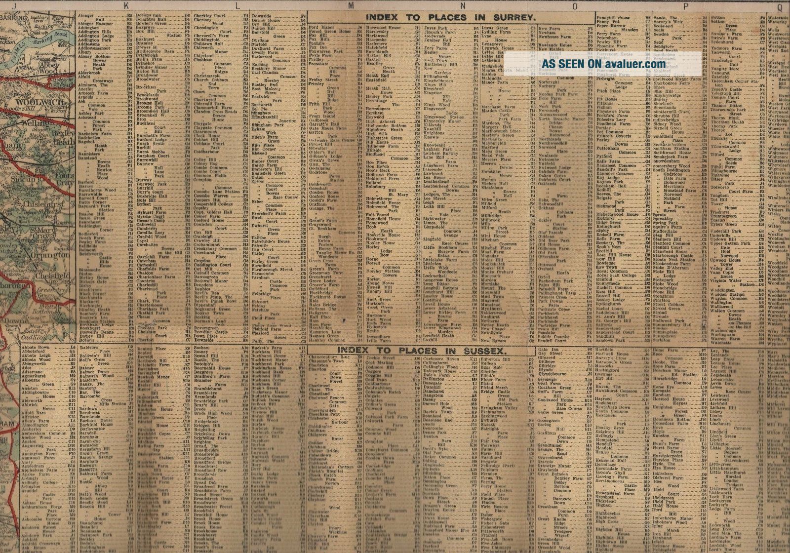
Index to Places 
(Only partly shown in photo)


    Similar items


  • Vintage Large 84 X 100 Feed Sack Country Cottage Quilt Top W Batting 1930

    Vintage Large 84 X 100 Feed Sack Country Cottage Quilt Top W Batting 1930 ' S 40 ' S

  • Vintage Embroidered Applique Tablecloth Floral Extra Large 100 " X 129 "

    Vintage Embroidered Applique Tablecloth Floral Extra Large 100 " X 129 "

  • Vintage Large 5 X 9.  5 Best 50 Star Sewn American Flag Valley Forge 100 Cotton

    Vintage Large 5 X 9. 5 Best 50 Star Sewn American Flag Valley Forge 100 Cotton

  • Vintage Large 5 X 9.  5 Best 50 Star Sewn American Flag 100 Cotton Rough Shape

    Vintage Large 5 X 9. 5 Best 50 Star Sewn American Flag 100 Cotton Rough Shape

  • Early Rare Vintage Large Shell X - 100 Motor Oil Bottle Wire Carry Rack / Stand

    Early Rare Vintage Large Shell X - 100 Motor Oil Bottle Wire Carry Rack / Stand

  • Vintage Large 18” X 11” Backgammon Set Board Game Leather Case 100 Complete

    Vintage Large 18” X 11” Backgammon Set Board Game Leather Case 100 Complete

  • Vintage Handmade Quilt Bedspread Large 100” X 84” Queen Multi Color

    Vintage Handmade Quilt Bedspread Large 100” X 84” Queen Multi Color

  • Vintage Handmade Cross Stitch Linen Table Cloth Large 100” X 65” Oblong

    Vintage Handmade Cross Stitch Linen Table Cloth Large 100” X 65” Oblong


    • You might also like


    • Hungary & Romania 1579 (1584) Ortelius Unusual Antique Copper Engraved Map

      Hungary & Romania 1579 (1584) Ortelius Unusual Antique Copper Engraved Map

    • Brussels Bruxelles Belfium 1777 De Ferraris & Dupuis Large Antique Map Sheet Xxi

      Brussels Bruxelles Belfium 1777 De Ferraris & Dupuis Large Antique Map Sheet Xxi

    • 1616 Atlas Map Of Iceland.

      1616 Atlas Map Of Iceland.

    • Kazan Russia 1767 Le Clerc/lespinasse Antique Copper Engraved City View

      Kazan Russia 1767 Le Clerc/lespinasse Antique Copper Engraved City View

    • 1899 Stanford,  Folding Map Of Norwich,  Norfolk,  Arthur Collins,  Jarrold & Sons,

      1899 Stanford, Folding Map Of Norwich, Norfolk, Arthur Collins, Jarrold & Sons,

    • 1948 Vintage Linen Colour Map Geological Survey Ten Mile Of Great Britain

      1948 Vintage Linen Colour Map Geological Survey Ten Mile Of Great Britain

    • 1944 Map Flying Bombs Sussex Ww2 Newspaper Military Kent Courier German V1 V2

      1944 Map Flying Bombs Sussex Ww2 Newspaper Military Kent Courier German V1 V2

    • Dated 1638 Vellum Map Of Icklesham Sussex Showing Land Uses Owners Etc

      Dated 1638 Vellum Map Of Icklesham Sussex Showing Land Uses Owners Etc

Avaluer          About Us          Privacy Policy          Contact Us          UP
© 2022, avaluer.net, Inc. or its affiliates