1890 Ordnance Survey Map Tunbridge Wells Kent Sussex Antique Old James Wyld OS
Item History & Price
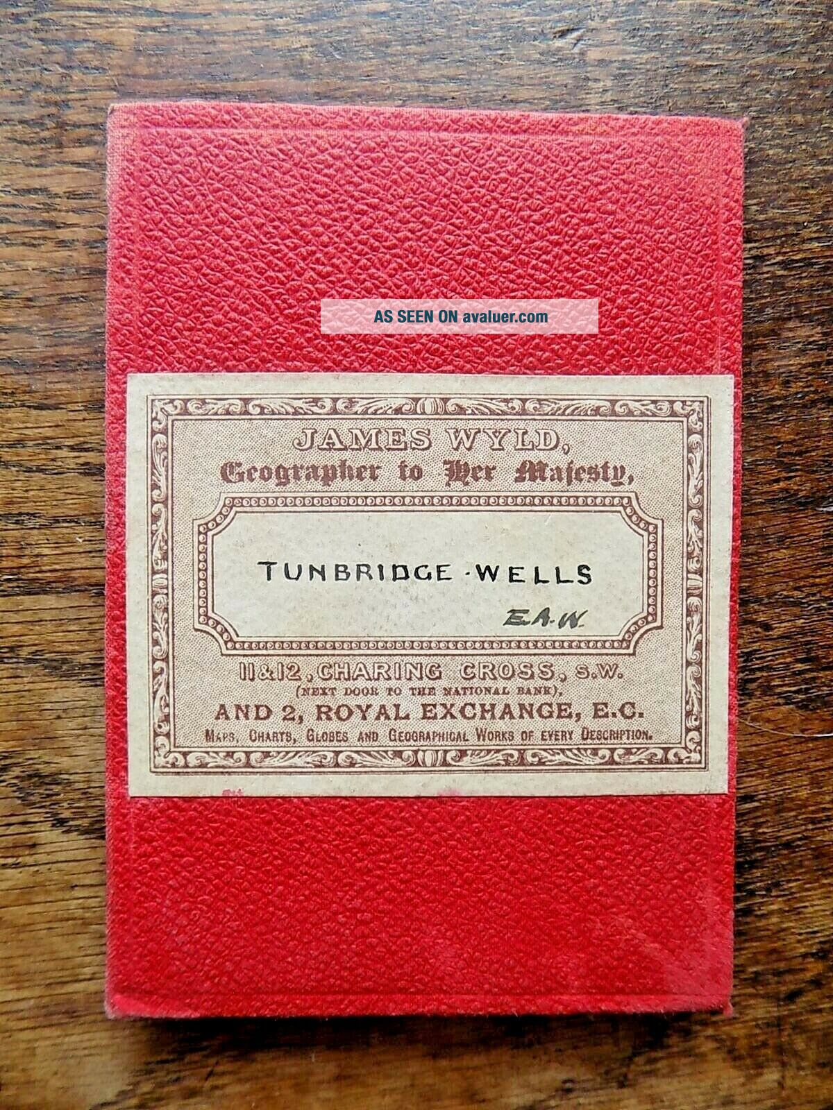
An early Ordnance Survey map titled "Tunbridge Wells" on red covers with a James Wyld label. One of two such maps I am offering on ebay - the other being titled Sevenoaks (see my other items).Unusually presented in these red hardcovers, with a lovely bright label.
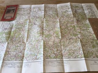
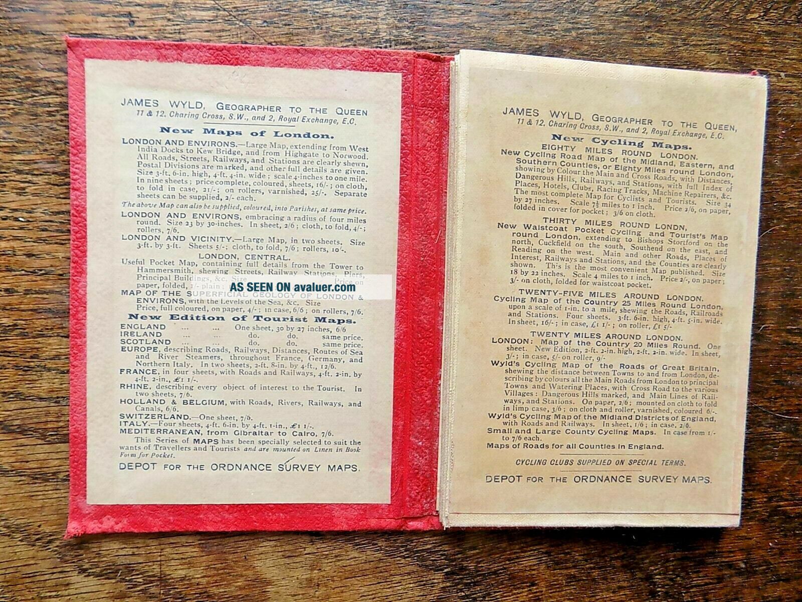
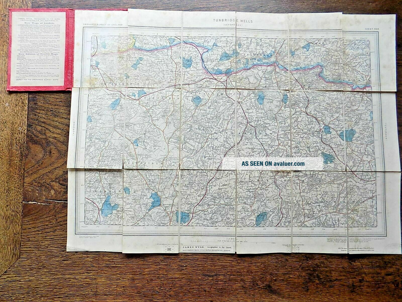
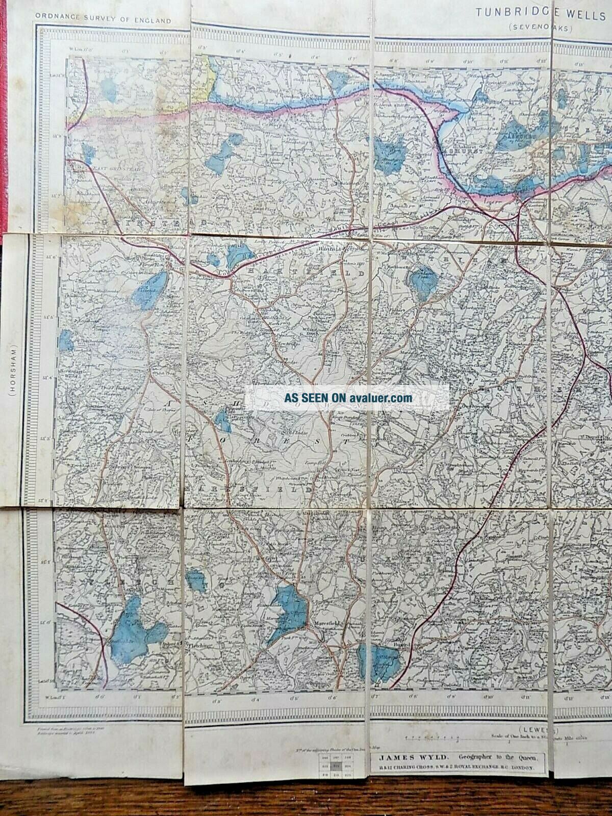
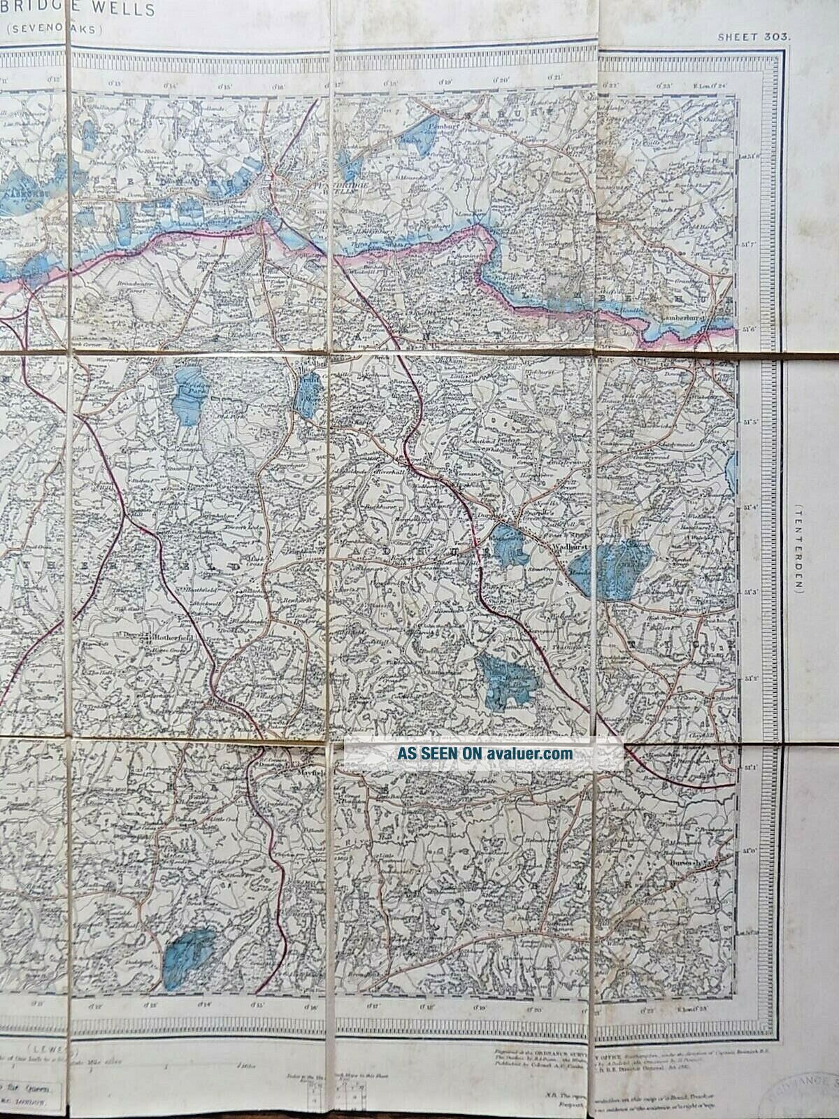
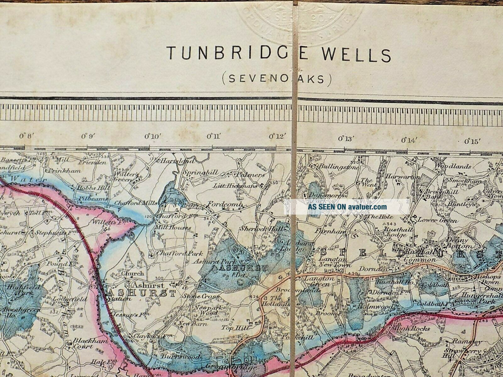
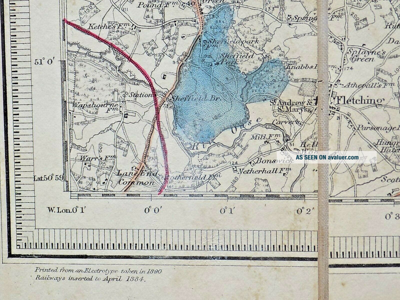
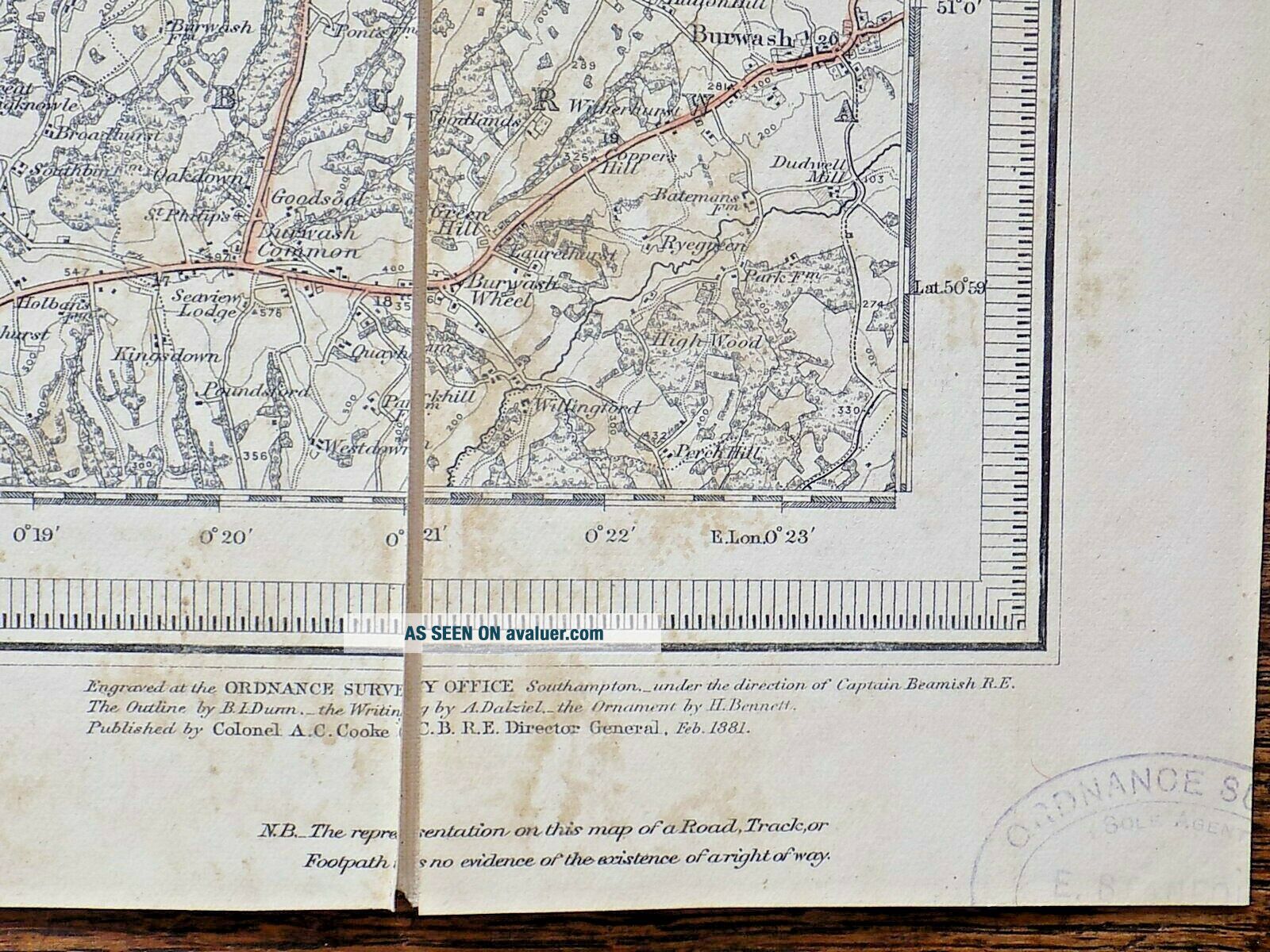
The map itself covers an area of Kent and Sussex that includes East Grinstead and Fletching in the west, and Burwash and Lamberhurst in the east.Various dates at the bottom, the latest being "taken from an electrotype in 1...890." Also a blind stamp with that date, and another Wyld label along the bottom. Late maps to be carrying the Wyld name: the business was taken over by Stanfords in 1893.
Attractive maps with original handcolouring. A scale of one inch to one mile.
Size: unfolded, the sheet measures 53.5cms x 39.5cms. Folded, 14cms x 9.5cms.Condition: Covers a little marked, but nice and bright with a good James Wyld label. Initials 'EAW' of a previous owner? on label. The map has suffered from a little damp, now somewhat browned, the map sections lifting a little bit from the linen backing. But still acceptable, with lovely original handcolouring.
Free postage within the UK. £5.00 to Europe, £8.00 to USA etc.I have other antique maps, books, prints etc. in my ebay shop - please see my other items.