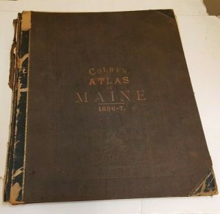
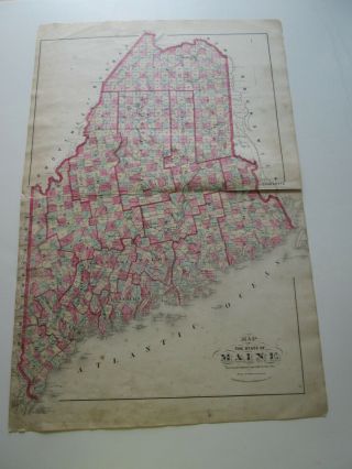
1887 - State Of Maine Antique Map - Cram ' S Unrivaled Atlas -


Item History & Price

Information:
Reference Number: Avaluer:1233993Cartographer/Publisher: Cram's Unrivaled Atlas
Year: 1887Original/Reproduction: Antique Original
US State: MaineFormat: Atlas Map
Date Range: 1800-1899Type: World Atlas
Country/Region: United States of America
Original Description:
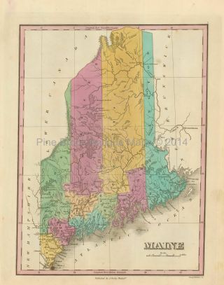
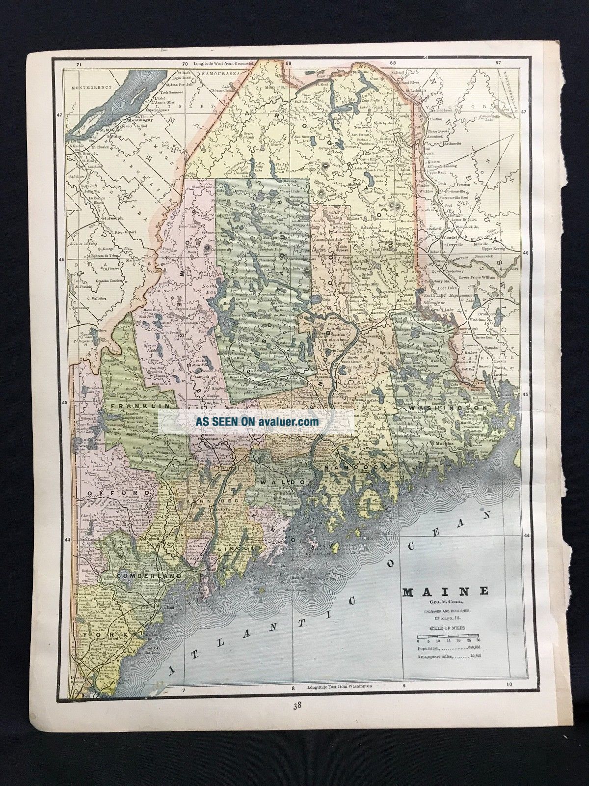
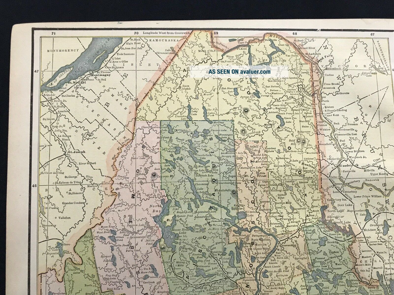
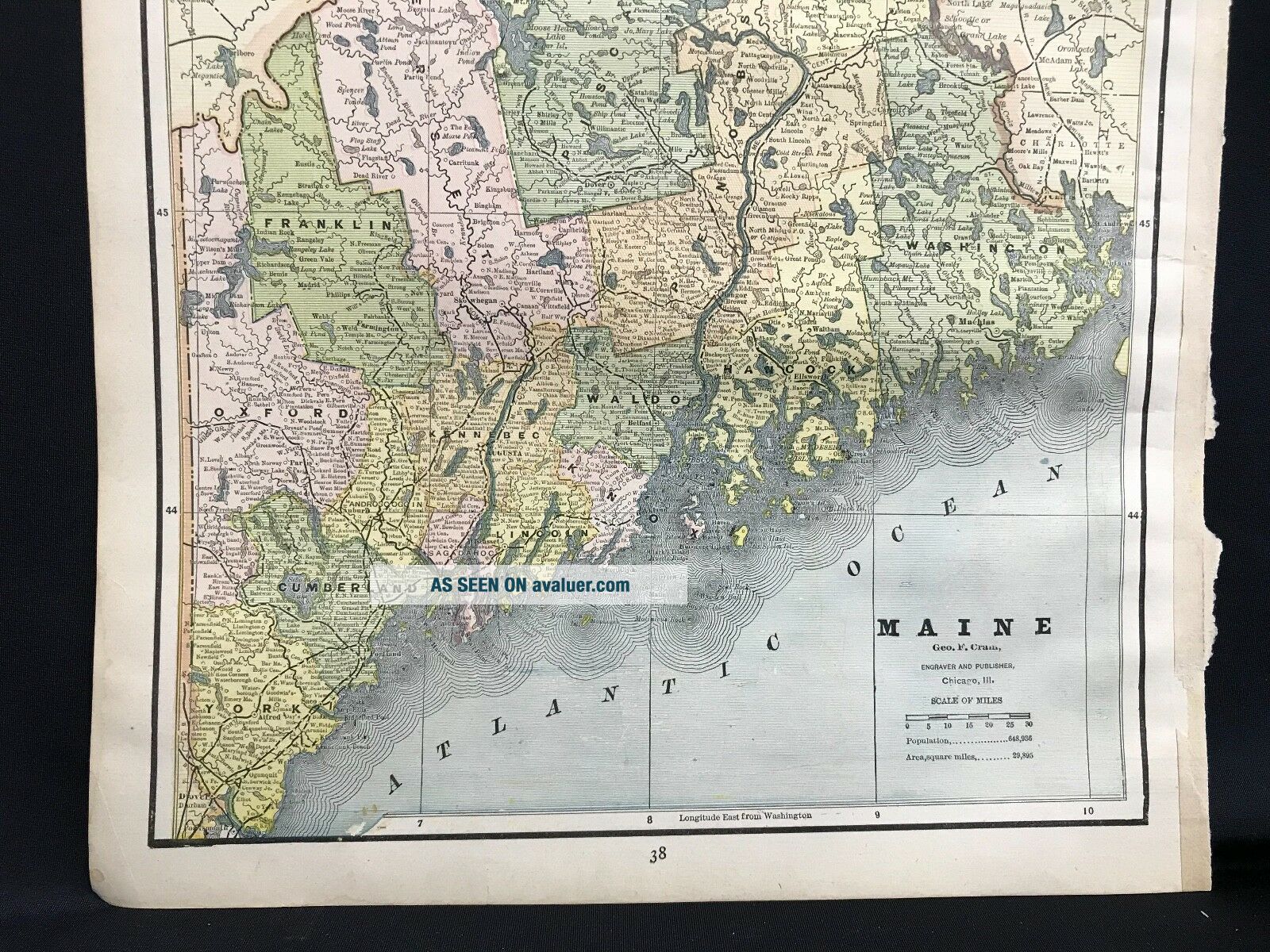
Antique  Map of the State of Maine from 1887 Cram's Unrivaled Atlas.Overall size is 13 1/2 x 10 1/2.  Printed area is 12 3/4 x 9 1/2 Very good condition with some yellowing of the edges and no tears.

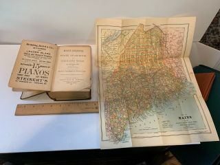
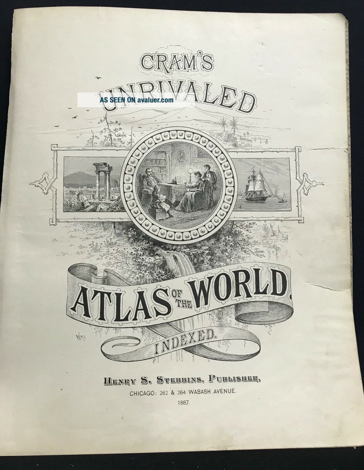
This is an original map carefully removed from a vintage atlas – NOT a reproduction. The photo shows the actual map you will receive. The atlas title page is not included, but shown only to verify the origin of the map. Shipped in a plastic sleeve in ...a rigid mailing tube.


    Similar items


  • State Of Maine Antique Map Finley 1833

    State Of Maine Antique Map Finley 1833

  • Usgs 1:500,  000 Map State Of Maine

    Usgs 1:500, 000 Map State Of Maine

  • 1880 Mitchell

    1880 Mitchell ' S Atlas State Of Maine Antique Map

  • Vintage Large Color Foldout Map Of The State Of Maine

    Vintage Large Color Foldout Map Of The State Of Maine

  • 1887 Atlas Of The State Of Maine Great Maps

    1887 Atlas Of The State Of Maine Great Maps

  • " State Of Maine ",  1871 Map F W Beers Cumberland County Atlas

    " State Of Maine ", 1871 Map F W Beers Cumberland County Atlas

  • 1903 - 04 Maine State Register,  With Map Of Maine

    1903 - 04 Maine State Register, With Map Of Maine

  • State Of York Antique Map Burr 1829

    State Of York Antique Map Burr 1829


    • You might also like


    • 1860 Mitchell Hand Colored Map Colorado,  Nebraska & Kansas - Civil War Era

      1860 Mitchell Hand Colored Map Colorado, Nebraska & Kansas - Civil War Era

    • 18th Century French Map Of North America

      18th Century French Map Of North America

    • Las Vegas Nevada Vintage 1967 Us Geological Survey Quadrangle Map 4 Panels

      Las Vegas Nevada Vintage 1967 Us Geological Survey Quadrangle Map 4 Panels

    • Rare Antique 1845 Maps United States Exploring Expedition Book Antartica Hawaii

      Rare Antique 1845 Maps United States Exploring Expedition Book Antartica Hawaii

    • Vintage 1926 Map Hollywood From The Best Surveys Of The Time

      Vintage 1926 Map Hollywood From The Best Surveys Of The Time

    • American Continent (western Hemisphere) 1747 Bowen Antique Copper Engraved Map

      American Continent (western Hemisphere) 1747 Bowen Antique Copper Engraved Map

    • Gulf Coast Florida Texas United States 1705 De Fer Unusual Antique Engraved Map

      Gulf Coast Florida Texas United States 1705 De Fer Unusual Antique Engraved Map

    • California As Island United States 1700 De Fer Unusual First Edition Antique Map

      California As Island United States 1700 De Fer Unusual First Edition Antique Map

Avaluer          About Us          Privacy Policy          Contact Us          UP
© 2022, avaluer.net, Inc. or its affiliates