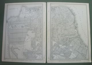
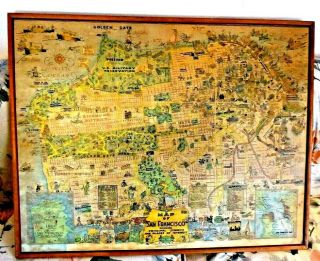
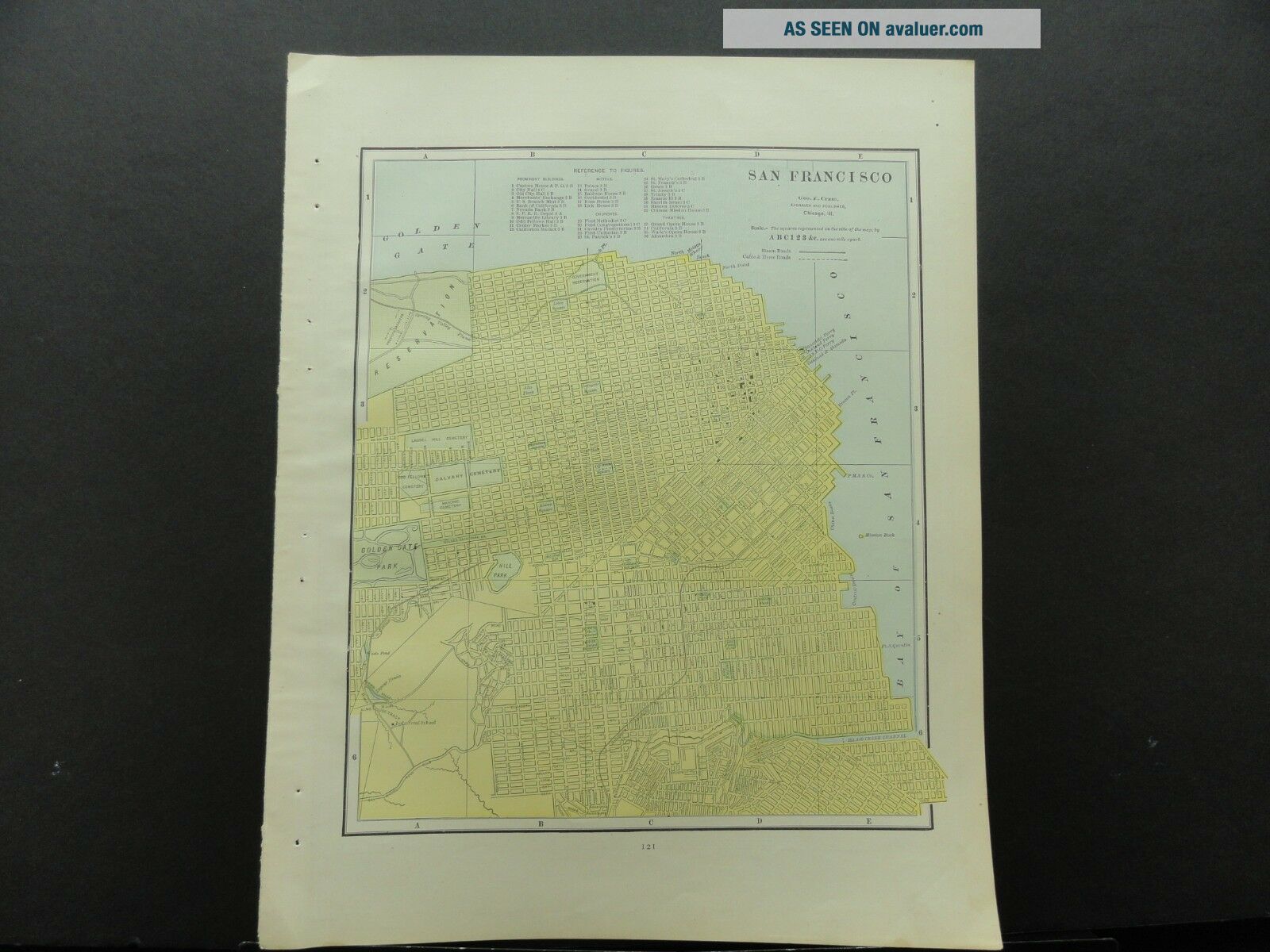
1888 Antique Map Of San Francisco CA Vintage Atlas Page


Item History & Price

Information:
Reference Number: Avaluer:1234328Cartographer/Publisher: Cram
Type: City MapPrinting Technique: Lithography
Year: 1888Original/Reproduction: Antique Original
US State: CaliforniaFeatures: Antique,Vintage
Date Range: 1800-1899Publication Year: 1888
City: San FranciscoFormat: Atlas Map
Country/Region: United States of America
Original Description:
1888 Antique Map of San Francisco CA Vintage Atlas Page
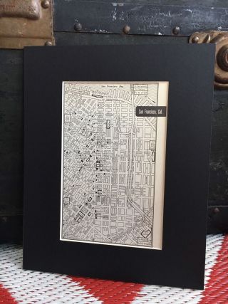
Original page from 1888 Cram's Atlas
Page 11.5" x 14.5"
Map size 9.5" x 11"
Ships Flat


    Similar items


  • 1907 & 1914 Antique Maps Of San Francisco Ca.  The Earthquake Of 1906

    1907 & 1914 Antique Maps Of San Francisco Ca. The Earthquake Of 1906

  • Vintage Lovely Cartoon Map Of San Francisco Ca Very Detailed Bechtel Itel 1978

    Vintage Lovely Cartoon Map Of San Francisco Ca Very Detailed Bechtel Itel 1978

  • Vintage 3d Illustrated Buildings Map Of San Francisco Ca 1974 World Trade Center

    Vintage 3d Illustrated Buildings Map Of San Francisco Ca 1974 World Trade Center

  • Antique Rand Mcnally Map Of San Francisco Ca,  Matted With Inset Title

    Antique Rand Mcnally Map Of San Francisco Ca, Matted With Inset Title

  • Vintage Lovely Cartoon Map Of San Francisco Ca By Godwin 1927 Sutro Forest 1927

    Vintage Lovely Cartoon Map Of San Francisco Ca By Godwin 1927 Sutro Forest 1927

  • Old Vintage 1920

    Old Vintage 1920 ' S Bekins Co City Street Map Of San Francisco Ca

  • Vintage 1980 Travel Pamphlet With Map Of San Francisco,  Ca

    Vintage 1980 Travel Pamphlet With Map Of San Francisco, Ca

  • City Map Of San Francisco Ca 1958 Mid Century Black Matted 8x10 Art Print Travel

    City Map Of San Francisco Ca 1958 Mid Century Black Matted 8x10 Art Print Travel


    • You might also like


    • 1860 Mitchell Hand Colored Map Colorado,  Nebraska & Kansas - Civil War Era

      1860 Mitchell Hand Colored Map Colorado, Nebraska & Kansas - Civil War Era

    • 18th Century French Map Of North America

      18th Century French Map Of North America

    • Las Vegas Nevada Vintage 1967 Us Geological Survey Quadrangle Map 4 Panels

      Las Vegas Nevada Vintage 1967 Us Geological Survey Quadrangle Map 4 Panels

    • Rare Antique 1845 Maps United States Exploring Expedition Book Antartica Hawaii

      Rare Antique 1845 Maps United States Exploring Expedition Book Antartica Hawaii

    • Vintage 1926 Map Hollywood From The Best Surveys Of The Time

      Vintage 1926 Map Hollywood From The Best Surveys Of The Time

    • American Continent (western Hemisphere) 1747 Bowen Antique Copper Engraved Map

      American Continent (western Hemisphere) 1747 Bowen Antique Copper Engraved Map

    • Gulf Coast Florida Texas United States 1705 De Fer Unusual Antique Engraved Map

      Gulf Coast Florida Texas United States 1705 De Fer Unusual Antique Engraved Map

    • California As Island United States 1700 De Fer Unusual First Edition Antique Map

      California As Island United States 1700 De Fer Unusual First Edition Antique Map

Avaluer          About Us          Privacy Policy          Contact Us          UP
© 2022, avaluer.net, Inc. or its affiliates