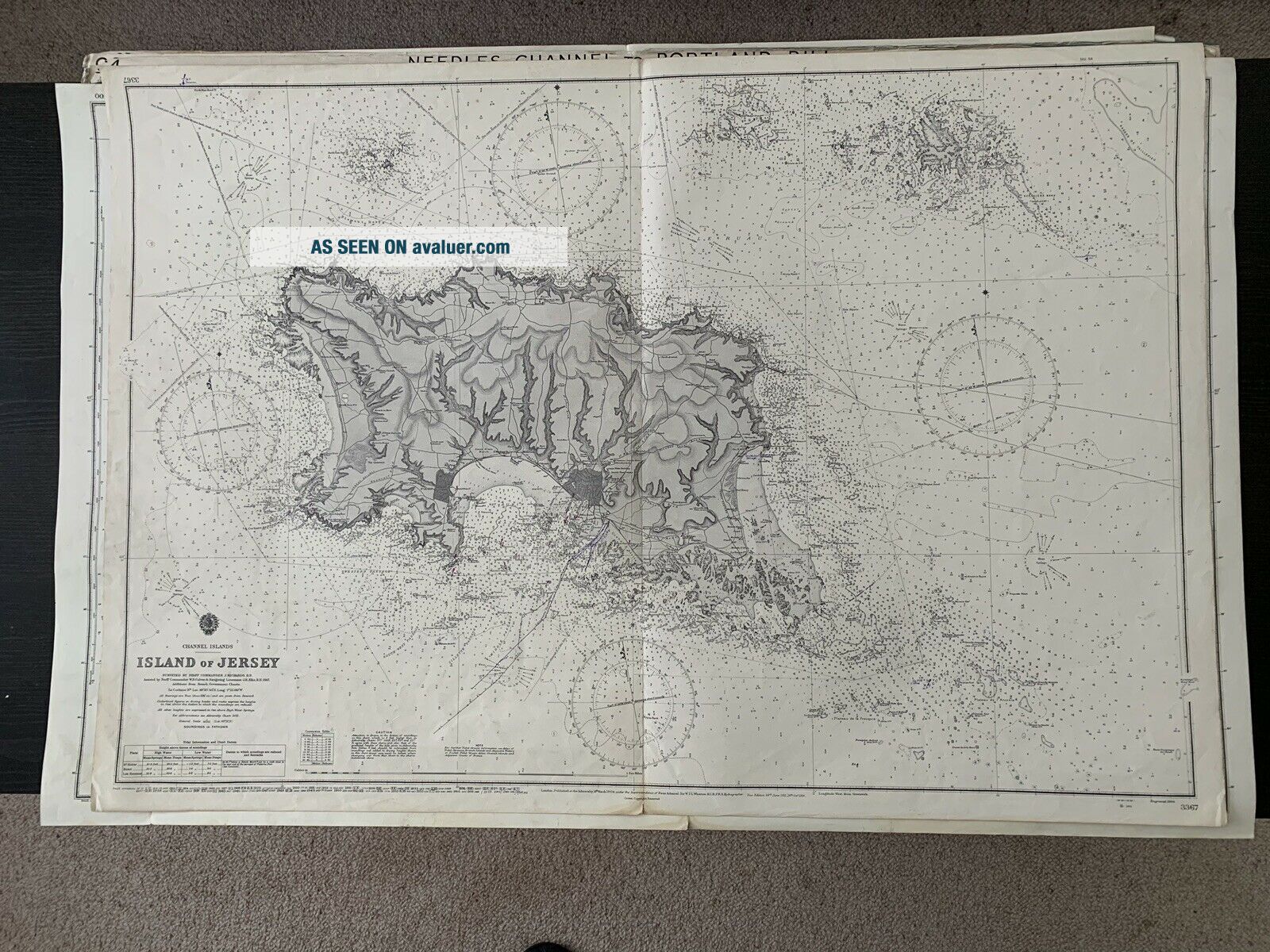
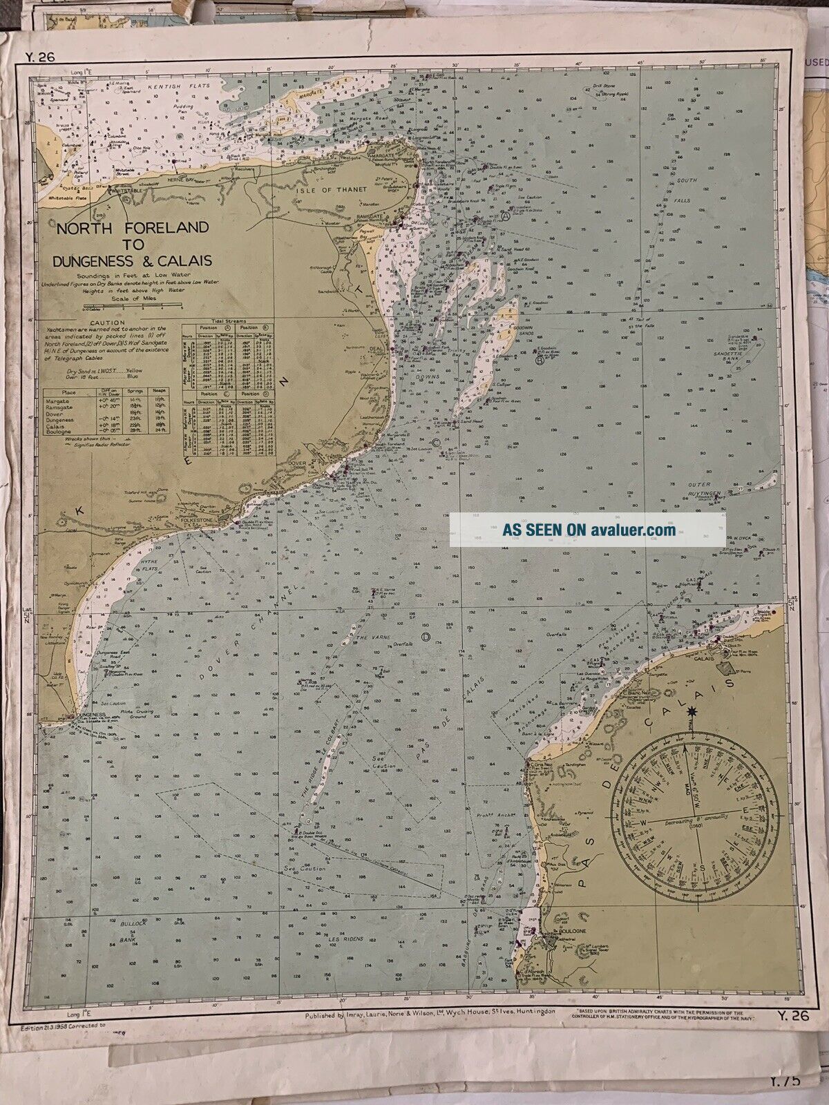
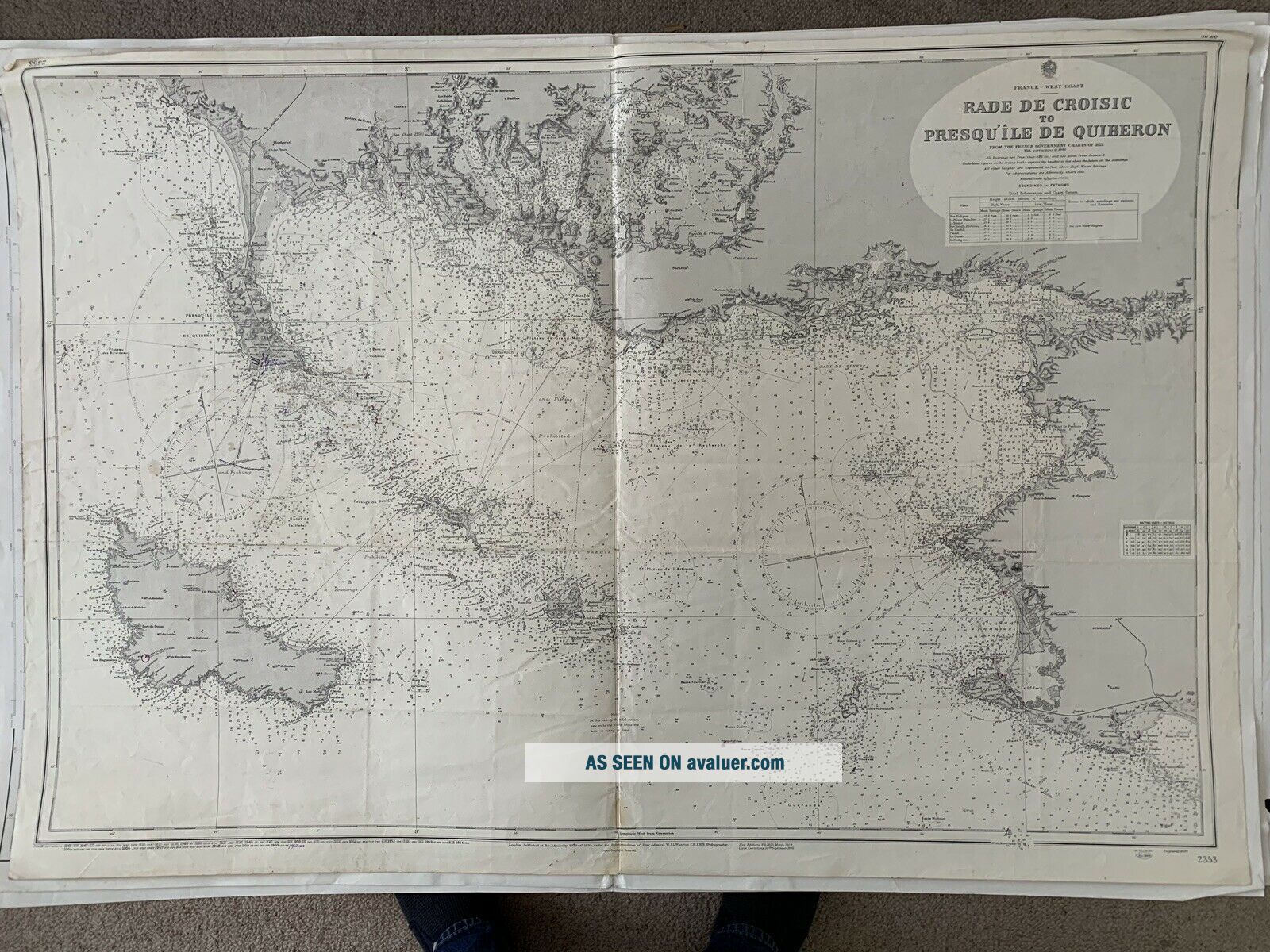
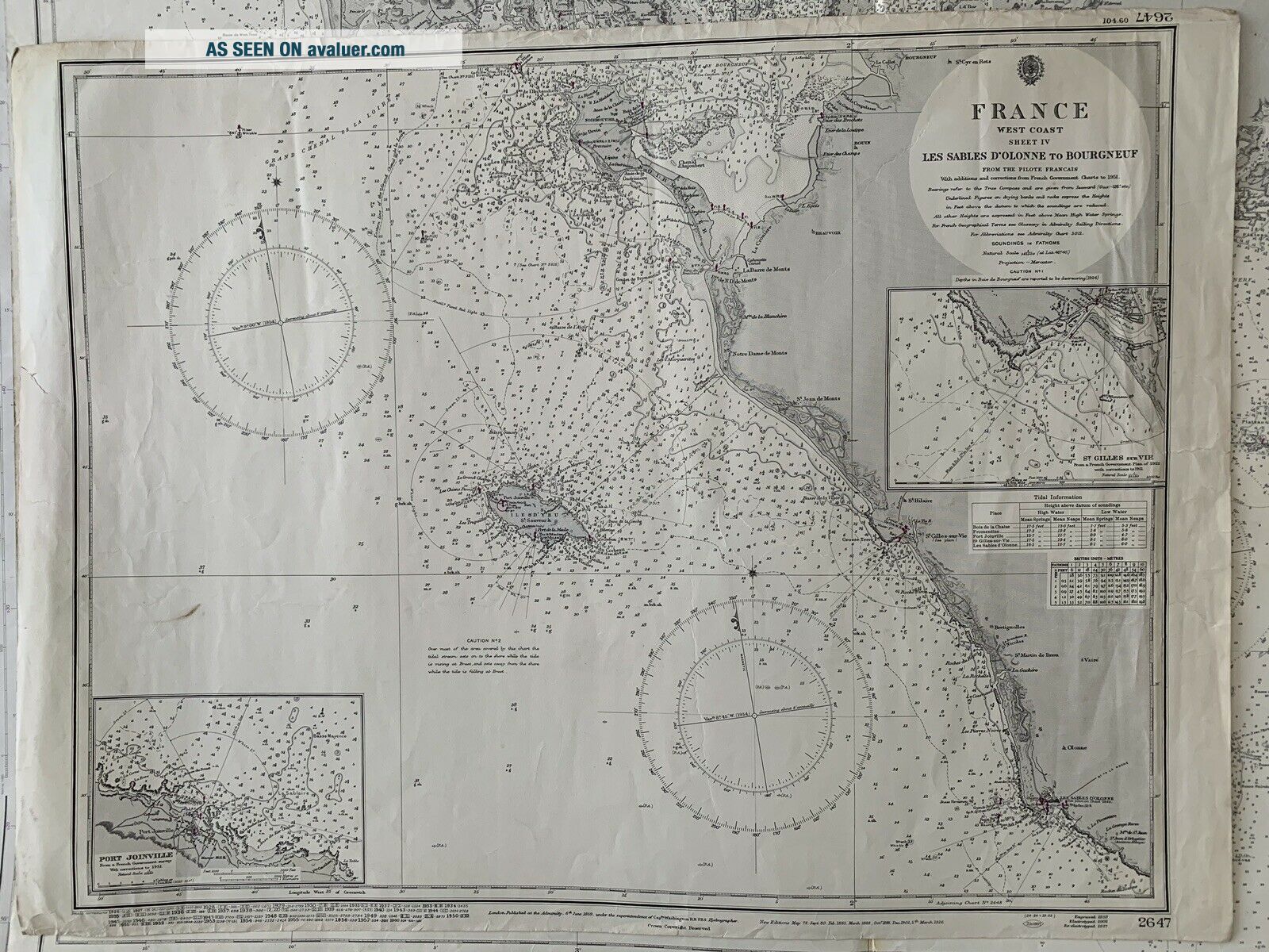
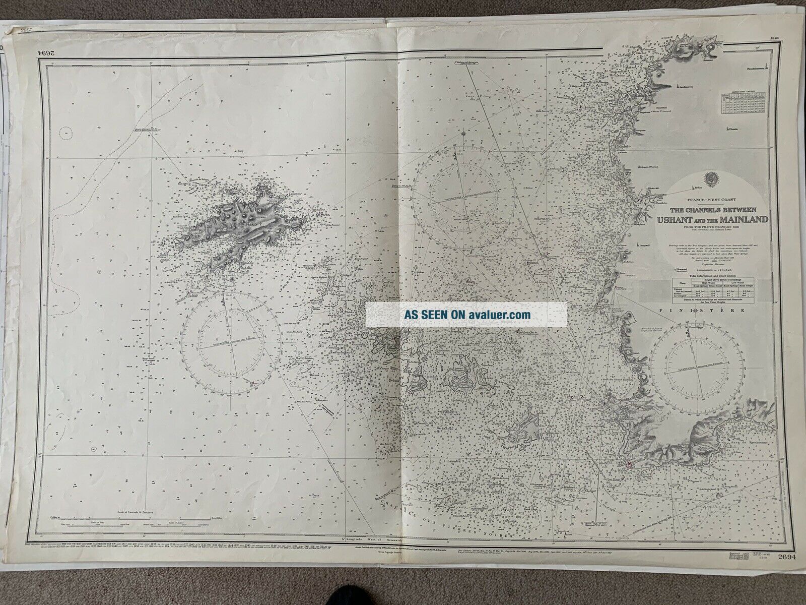
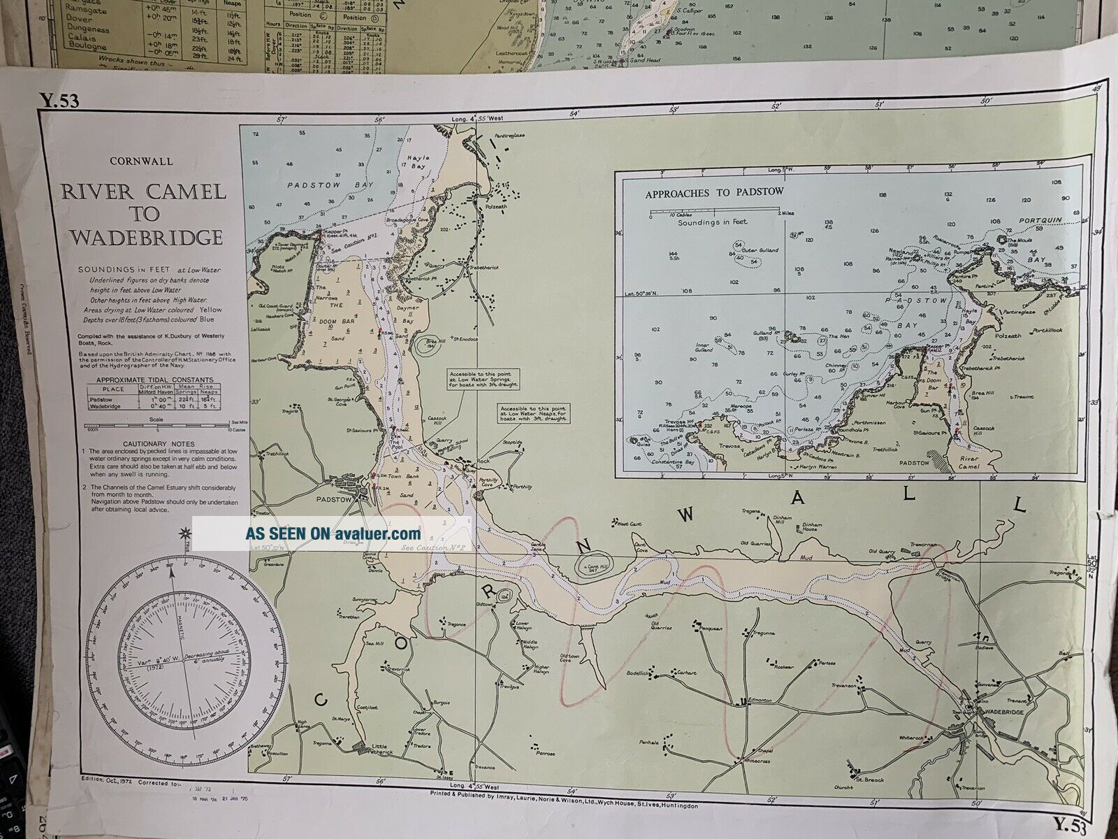
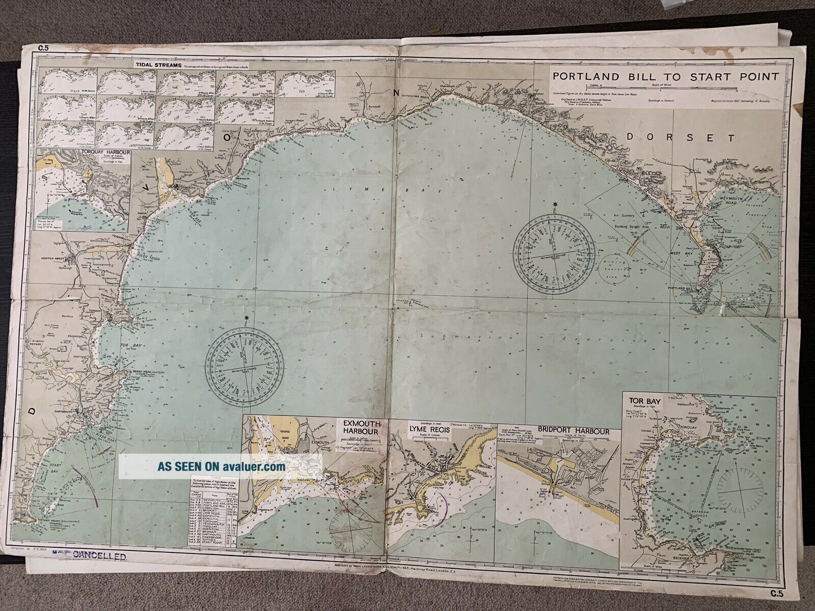
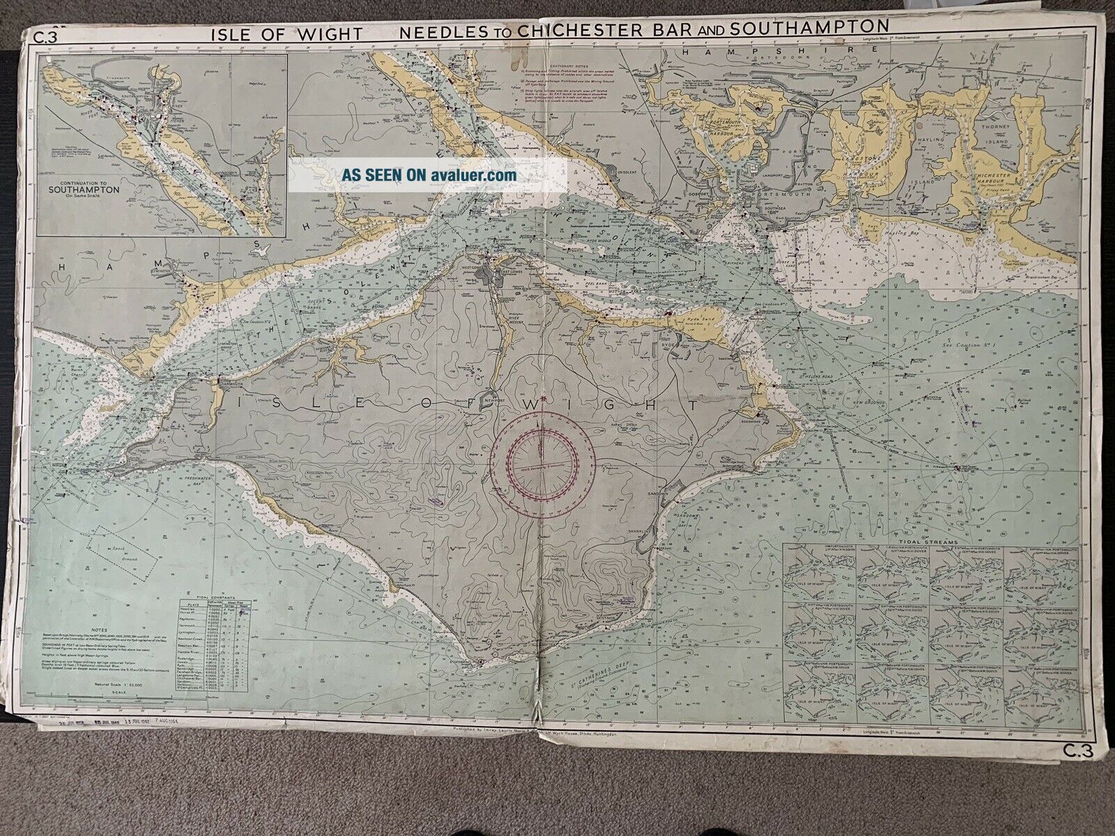
17 X NAUTICAL ADMIRALTY CHARTS ETC FROM 1950 ' S AND 1960 ' S ENGLISH CHANNEL FRANCE


Item History & Price

Information:
Reference Number: Avaluer:1234742Date Range: 1800-1899
Format: Sheet MapOriginal/Reproduction: Antique Original
Type: Nautical MapCountry/Region: England, France
Year: 1960Era: 1950s


    Similar items


  • Mid Century Wheat Sheaf Side Table,  Metal,  Optional Heavy Glass Top,  17 " X 25 "

    Mid Century Wheat Sheaf Side Table, Metal, Optional Heavy Glass Top, 17 " X 25 "

  • Bone Print 17 " X 11 " By Jeff Smith From Hero Comic Con 1995 W/ Pair Monsters

    Bone Print 17 " X 11 " By Jeff Smith From Hero Comic Con 1995 W/ Pair Monsters

  • Old

    Old ' Dean ' Illustrated Children ' S Books X 3 Farm Friends Etc C. 1950 - 60 ' S Vg,

  • Lionel 97 Remote Control Coal Elevator W/ob,  Inserts,  Etc.  From 1950 - Ln To Nm

    Lionel 97 Remote Control Coal Elevator W/ob, Inserts, Etc. From 1950 - Ln To Nm

  • Rare Bonney Usa 2640 Extended 5/8 " X 17 " X 12 Pt Combination Wrench Ca.  1950

    Rare Bonney Usa 2640 Extended 5/8 " X 17 " X 12 Pt Combination Wrench Ca. 1950 ' S

  • Swingline Speed Stapler Co “staple X Tractor” Remover Blue Vintage From 1950s

    Swingline Speed Stapler Co “staple X Tractor” Remover Blue Vintage From 1950s

  • Sur La Table Large Rectangular Serving Platter 17 " X 8.  5 " Hand Painted From Italy

    Sur La Table Large Rectangular Serving Platter 17 " X 8. 5 " Hand Painted From Italy

  • Harmony House Mandarin 17 X 12.  5 Handled Serving Platter - 1950

    Harmony House Mandarin 17 X 12. 5 Handled Serving Platter - 1950 ' S Made In Japan


    • You might also like


    • Hungary & Romania 1579 (1584) Ortelius Unusual Antique Copper Engraved Map

      Hungary & Romania 1579 (1584) Ortelius Unusual Antique Copper Engraved Map

    • Brussels Bruxelles Belfium 1777 De Ferraris & Dupuis Large Antique Map Sheet Xxi

      Brussels Bruxelles Belfium 1777 De Ferraris & Dupuis Large Antique Map Sheet Xxi

    • 1616 Atlas Map Of Iceland.

      1616 Atlas Map Of Iceland.

    • Kazan Russia 1767 Le Clerc/lespinasse Antique Copper Engraved City View

      Kazan Russia 1767 Le Clerc/lespinasse Antique Copper Engraved City View

    • 1899 Stanford,  Folding Map Of Norwich,  Norfolk,  Arthur Collins,  Jarrold & Sons,

      1899 Stanford, Folding Map Of Norwich, Norfolk, Arthur Collins, Jarrold & Sons,

    • 1948 Vintage Linen Colour Map Geological Survey Ten Mile Of Great Britain

      1948 Vintage Linen Colour Map Geological Survey Ten Mile Of Great Britain

    • 1944 Map Flying Bombs Sussex Ww2 Newspaper Military Kent Courier German V1 V2

      1944 Map Flying Bombs Sussex Ww2 Newspaper Military Kent Courier German V1 V2

    • Dated 1638 Vellum Map Of Icklesham Sussex Showing Land Uses Owners Etc

      Dated 1638 Vellum Map Of Icklesham Sussex Showing Land Uses Owners Etc

Avaluer          About Us          Privacy Policy          Contact Us          UP
© 2022, avaluer.net, Inc. or its affiliates