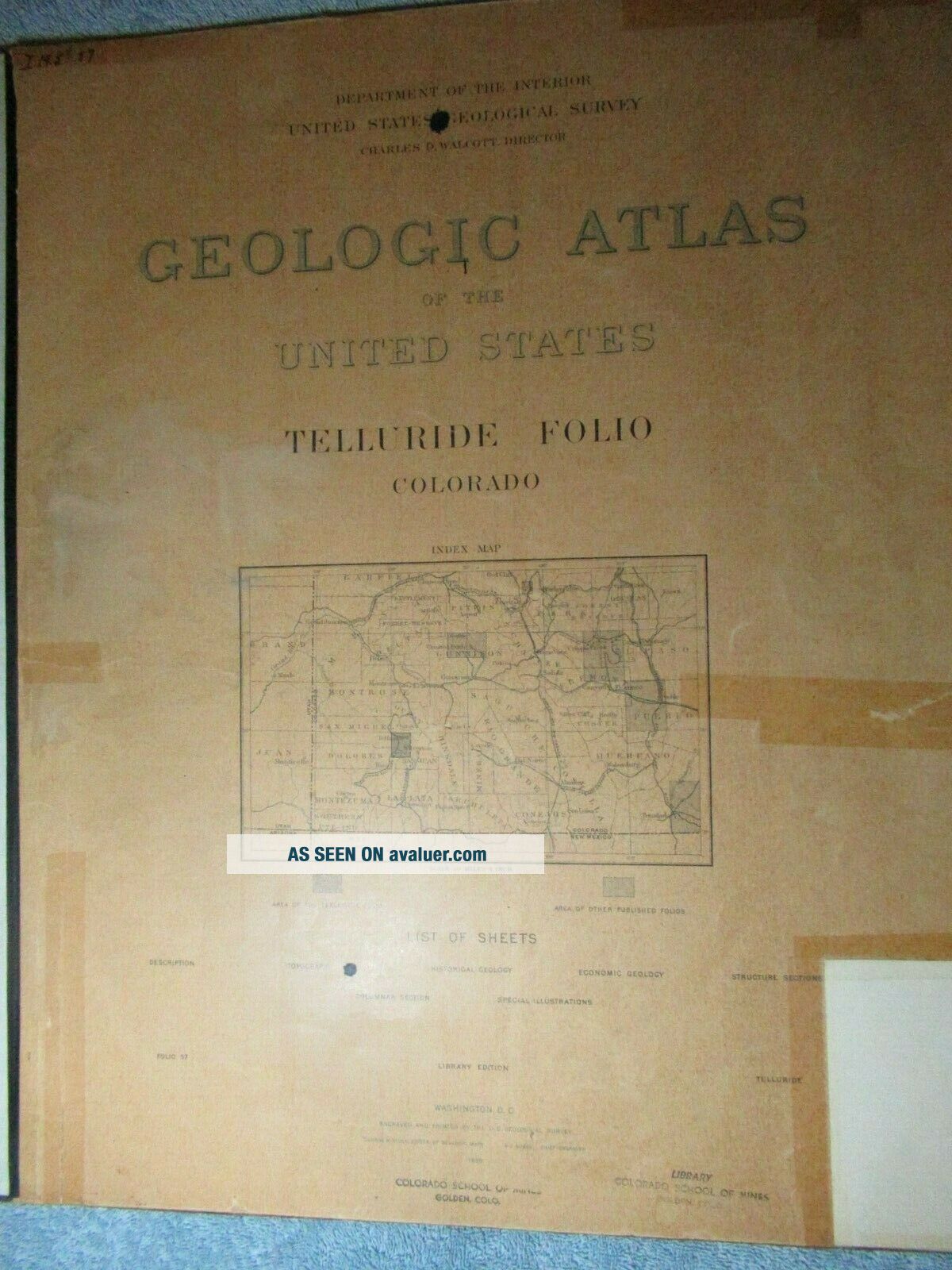
1899 Geologic Atlas Of The United States TELLURIDE FOLIO COLORADO


Item History & Price

Information:
Reference Number: Avaluer:1234848Format: Atlas
US State: CaliforniaYear: 1899
Original Description:
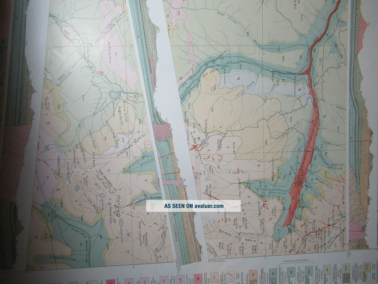
I have a collection of Geologic Atlas of the United States that I will be listing this week.  This atlas is published by the Department of Interior, United States Geological Survey, Charles D. Walcott, Director.  Many of them are in unique geographic areas of our country.  The atlas offered here is the Telluride Folio of Colorado.  They are all 18-1/2" wide by  by 21-3/4" tall.  They vary in side but most are in the 10-20 page range.  There are color ...pages in each and with there age may be hand colored.  All of them I believe are library copies which may have been the only place they were available. 


    Similar items


  • 1895 Geologic Atlas Of The United States Smartsville Folio California

    1895 Geologic Atlas Of The United States Smartsville Folio California

  • 1897 Geologic Atlas Of The United States Butte Special Folio Montana

    1897 Geologic Atlas Of The United States Butte Special Folio Montana

  • 1897 Geologic Atlas Of The United States Downieville Folio California

    1897 Geologic Atlas Of The United States Downieville Folio California

  • 1896 Geologic Atlas Of The United States Nevada City Special Folio California

    1896 Geologic Atlas Of The United States Nevada City Special Folio California

  • 1894 Geologic Atlas Of The United States Jackson Folio California

    1894 Geologic Atlas Of The United States Jackson Folio California

  • 1898 Geologic Atlas Of The United States Bidwell Bar Folio California

    1898 Geologic Atlas Of The United States Bidwell Bar Folio California

  • 1894 Geologic Atlas Of The United States Placerville Folio California

    1894 Geologic Atlas Of The United States Placerville Folio California

  • 1894 Geologic Atlas Of The United States Sacramento Folio California

    1894 Geologic Atlas Of The United States Sacramento Folio California


    • You might also like


    • 1860 Mitchell Hand Colored Map Colorado,  Nebraska & Kansas - Civil War Era

      1860 Mitchell Hand Colored Map Colorado, Nebraska & Kansas - Civil War Era

    • 18th Century French Map Of North America

      18th Century French Map Of North America

    • Las Vegas Nevada Vintage 1967 Us Geological Survey Quadrangle Map 4 Panels

      Las Vegas Nevada Vintage 1967 Us Geological Survey Quadrangle Map 4 Panels

    • Rare Antique 1845 Maps United States Exploring Expedition Book Antartica Hawaii

      Rare Antique 1845 Maps United States Exploring Expedition Book Antartica Hawaii

    • Vintage 1926 Map Hollywood From The Best Surveys Of The Time

      Vintage 1926 Map Hollywood From The Best Surveys Of The Time

    • American Continent (western Hemisphere) 1747 Bowen Antique Copper Engraved Map

      American Continent (western Hemisphere) 1747 Bowen Antique Copper Engraved Map

    • Gulf Coast Florida Texas United States 1705 De Fer Unusual Antique Engraved Map

      Gulf Coast Florida Texas United States 1705 De Fer Unusual Antique Engraved Map

    • California As Island United States 1700 De Fer Unusual First Edition Antique Map

      California As Island United States 1700 De Fer Unusual First Edition Antique Map

Avaluer          About Us          Privacy Policy          Contact Us          UP
© 2022, avaluer.net, Inc. or its affiliates