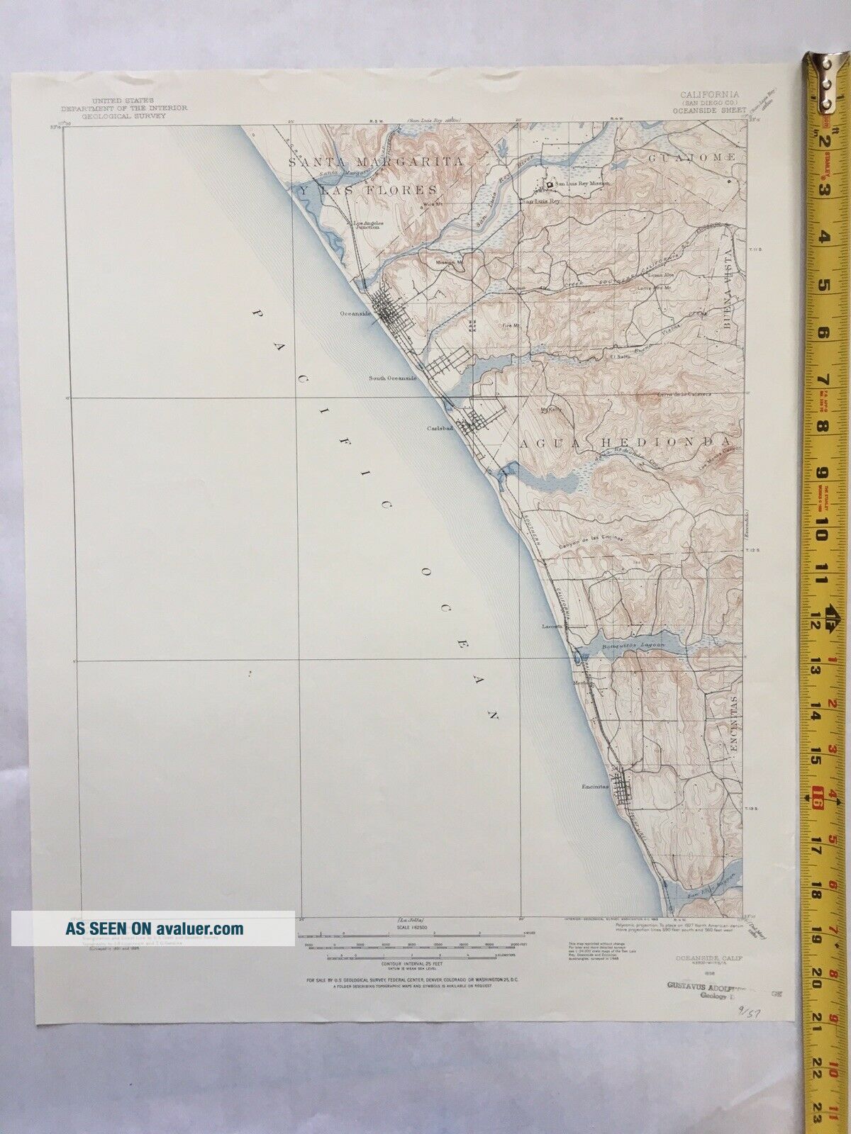
Large Vintage 1898 (1955 Reprint) Map Of Oceanside, CA USGS Topo Map (17 X 21)


Item History & Price

Information:
Reference Number: Avaluer:1235215Year: 1955
Date Range: 1800-1899Type: Topographical Map
US State: CaliforniaOriginal/Reproduction: Antique Original
Country/Region: United States of America
Original Description:
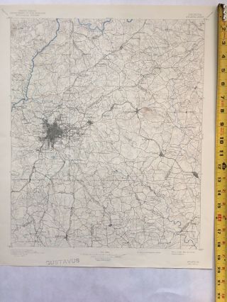
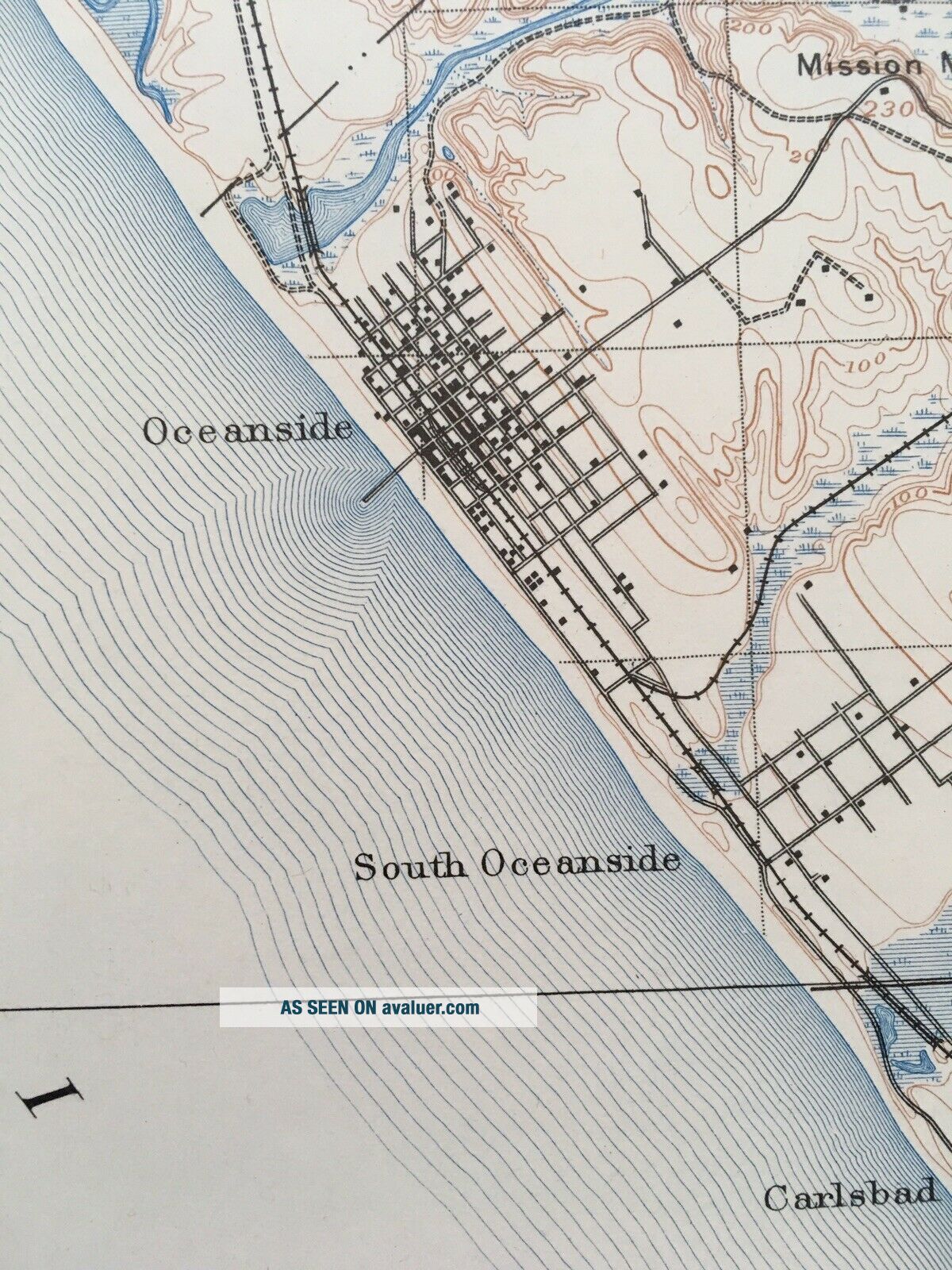
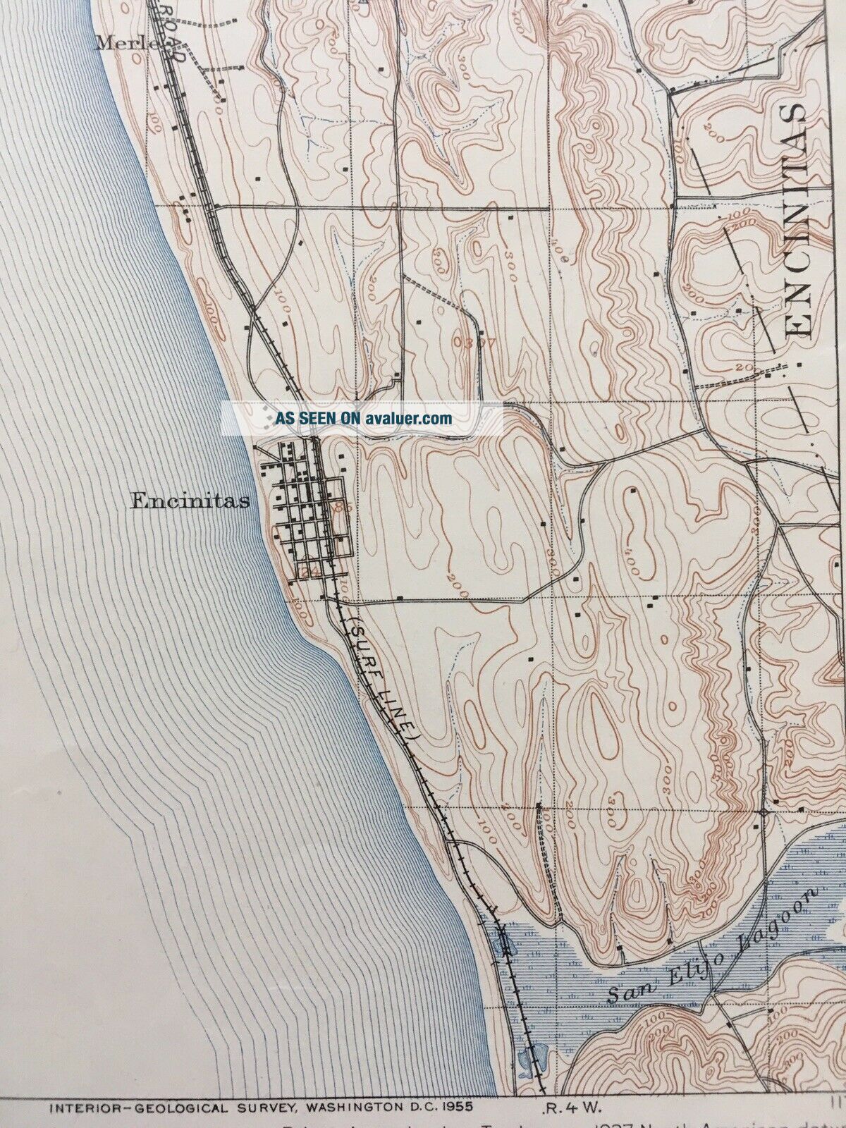
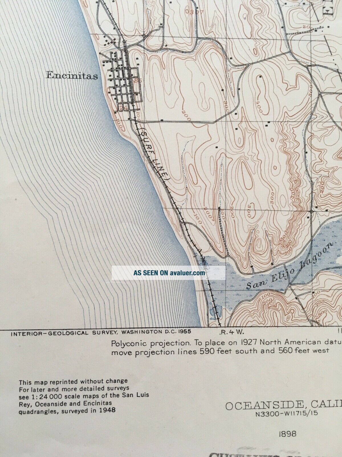
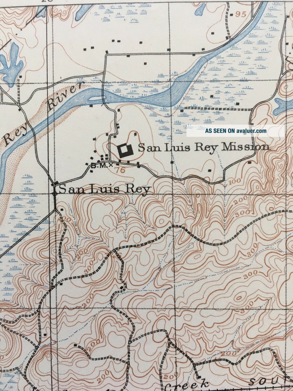
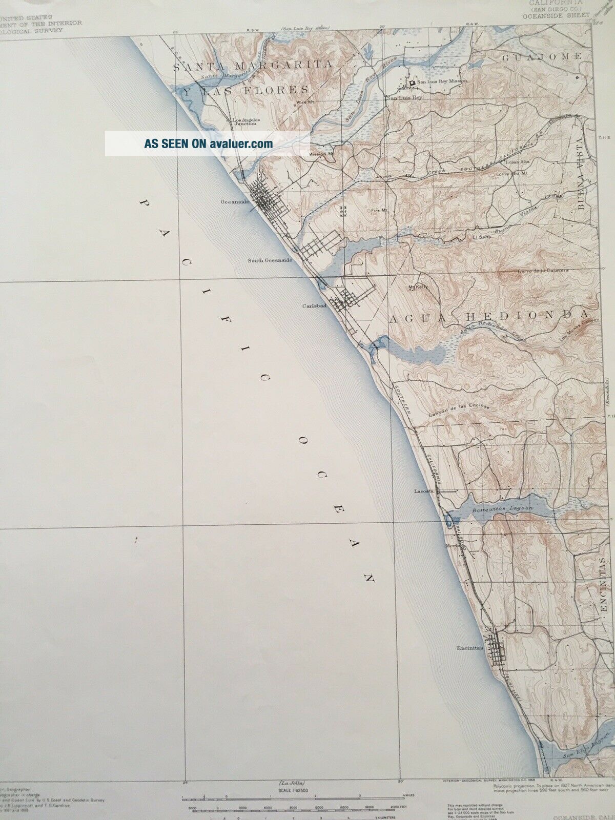
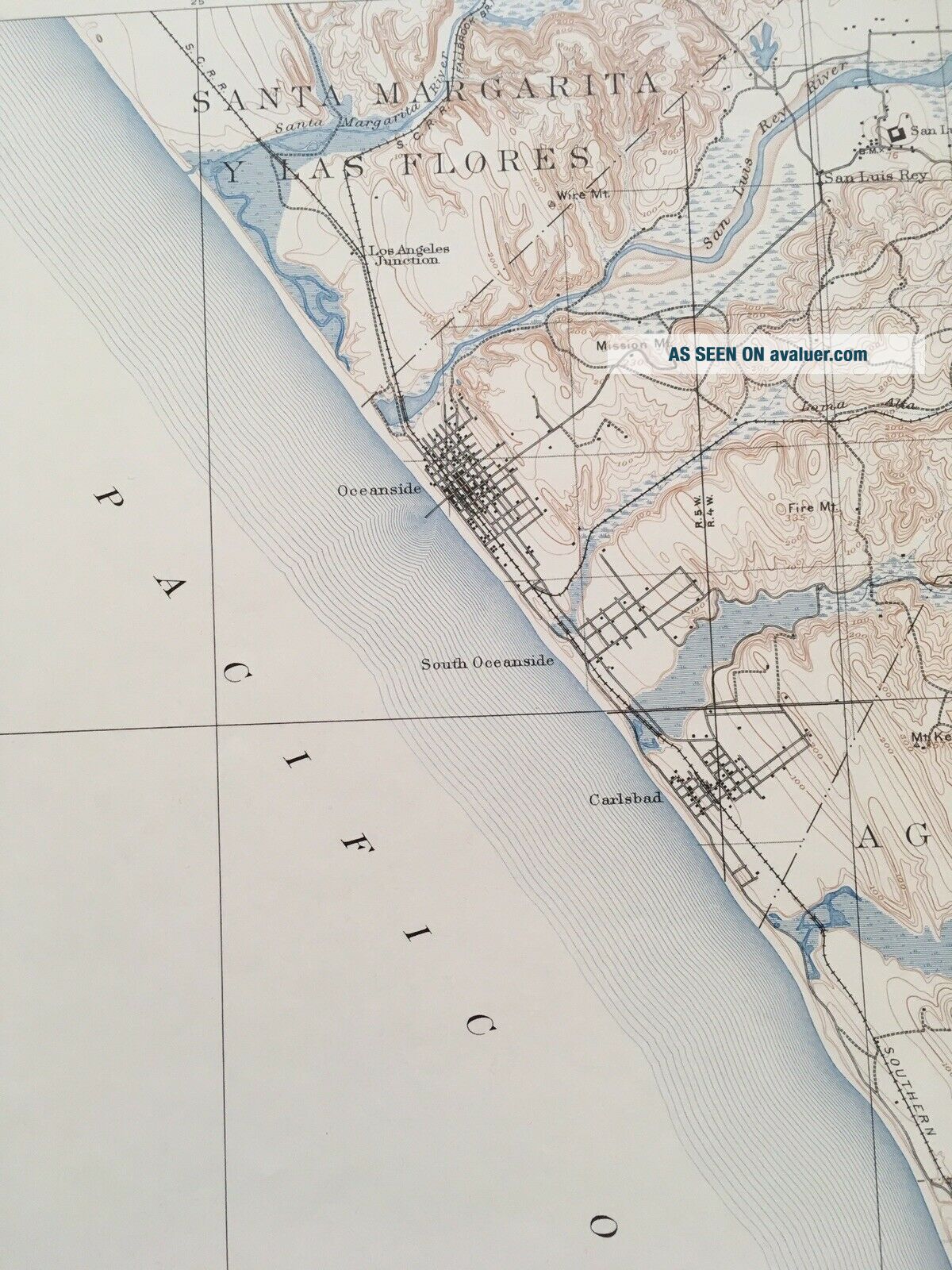
Attractive original 1898 (1955 reprint) USGS survey map of Oceanside, CA. Perfect condition, no folds, stains, or tears. Perfect for framing or display, historical research, genealogy studies, adding to a collection, a  conversation piece, or a gift for a history or map enthusiast.
Version: 1955Edition: 1898Locations: Oceanside, Carlsbad, EncinitaMeasure: 17 x 21Published by: United States Geological Survey

Condition: Excellent
Map Notes      ...   Map Area: Flawless map area         Map Border: No folds, stains, or tears, slight wrinkle on top edge

Map is  original USGS topographic map, this is not a reproductions. Map is shipped rolled in a strong cardboard tube.
Map may have an institutional stamp and/or writing in the margin but not in the map area - please see the pictures. The map in the photo is the actual map you will receive.

[48]


    Similar items


  • Large Vintage 1895 (1941 Reprint) Map Of Atlanta Usgs Topo Map (16 X 20)

    Large Vintage 1895 (1941 Reprint) Map Of Atlanta Usgs Topo Map (16 X 20)

  • Large Vintage Hammond

    Large Vintage Hammond ' S International Map Of The World Litho Print 1961

  • Large Vintage Rand Mcnally Official Map Of The Moon W/ Cover 3 - D Indexed

    Large Vintage Rand Mcnally Official Map Of The Moon W/ Cover 3 - D Indexed

  • Large Vintage Chrome Cigarette Case Map Of England & Wales To Front

    Large Vintage Chrome Cigarette Case Map Of England & Wales To Front

  • Large Vintage 70

    Large Vintage 70 ' S Panoramic Map Of Moscow City Center

  • Collectable Large Vintage Hand Crafted Embroidered Map Of Britain,  C.  1940s - 250

    Collectable Large Vintage Hand Crafted Embroidered Map Of Britain, C. 1940s - 250

  • Large Vintage 1859 Public Survey Map Of Minnesota (21 " X 24 ")

    Large Vintage 1859 Public Survey Map Of Minnesota (21 " X 24 ")

  • Large Vintage Philips School Wall Map Of Europe Relief And Political 1970

    Large Vintage Philips School Wall Map Of Europe Relief And Political 1970


    • You might also like


    • 1860 Mitchell Hand Colored Map Colorado,  Nebraska & Kansas - Civil War Era

      1860 Mitchell Hand Colored Map Colorado, Nebraska & Kansas - Civil War Era

    • 18th Century French Map Of North America

      18th Century French Map Of North America

    • Las Vegas Nevada Vintage 1967 Us Geological Survey Quadrangle Map 4 Panels

      Las Vegas Nevada Vintage 1967 Us Geological Survey Quadrangle Map 4 Panels

    • Rare Antique 1845 Maps United States Exploring Expedition Book Antartica Hawaii

      Rare Antique 1845 Maps United States Exploring Expedition Book Antartica Hawaii

    • Vintage 1926 Map Hollywood From The Best Surveys Of The Time

      Vintage 1926 Map Hollywood From The Best Surveys Of The Time

    • American Continent (western Hemisphere) 1747 Bowen Antique Copper Engraved Map

      American Continent (western Hemisphere) 1747 Bowen Antique Copper Engraved Map

    • Gulf Coast Florida Texas United States 1705 De Fer Unusual Antique Engraved Map

      Gulf Coast Florida Texas United States 1705 De Fer Unusual Antique Engraved Map

    • California As Island United States 1700 De Fer Unusual First Edition Antique Map

      California As Island United States 1700 De Fer Unusual First Edition Antique Map

Avaluer          About Us          Privacy Policy          Contact Us          UP
© 2022, avaluer.net, Inc. or its affiliates