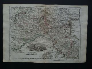
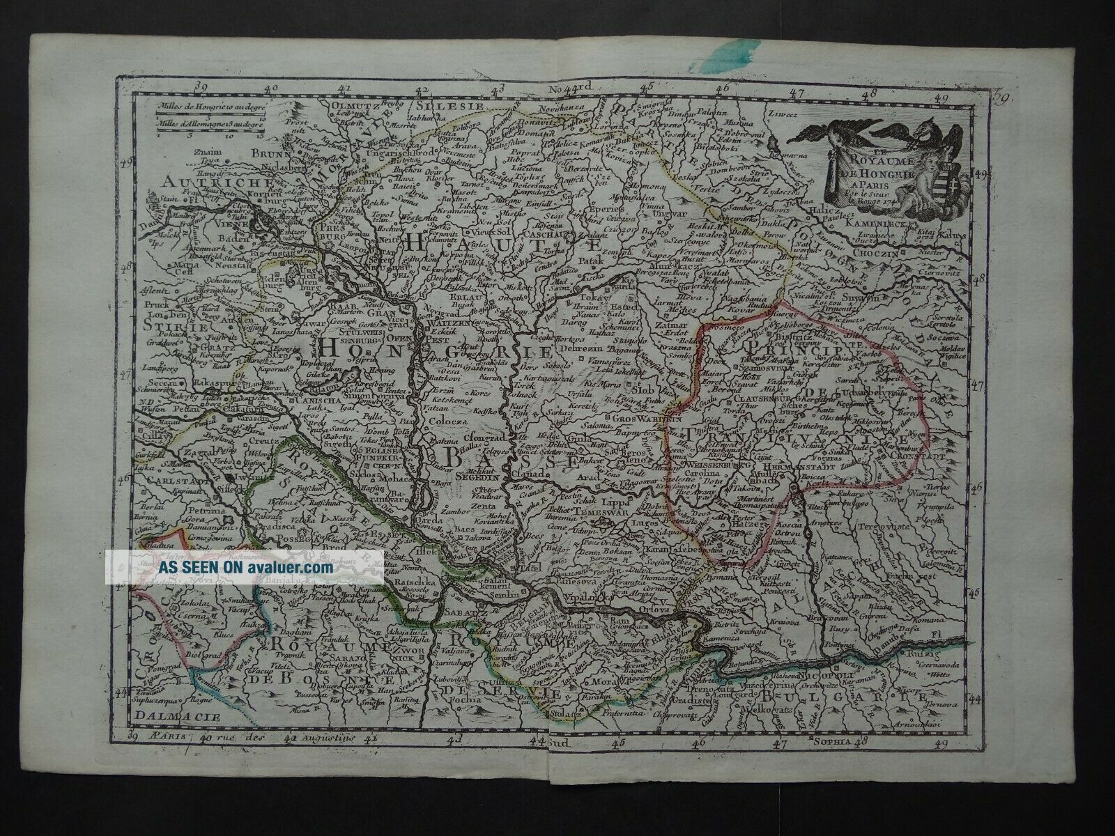
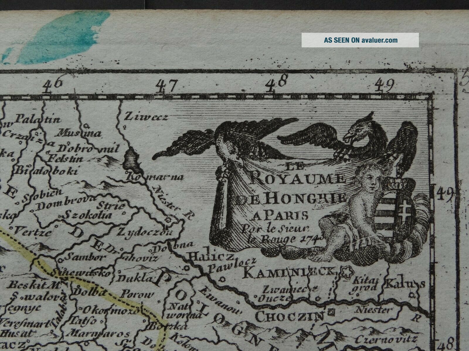
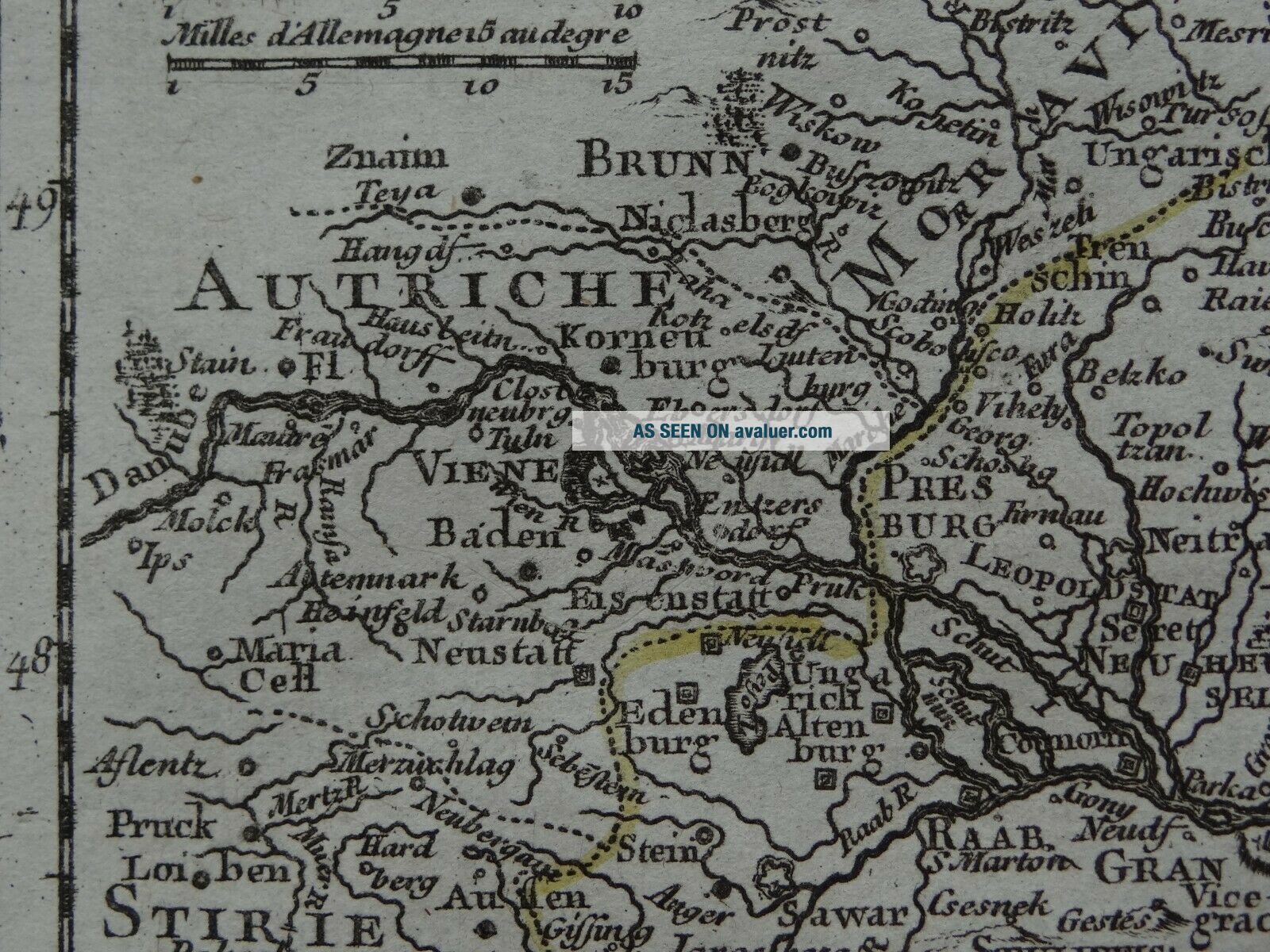
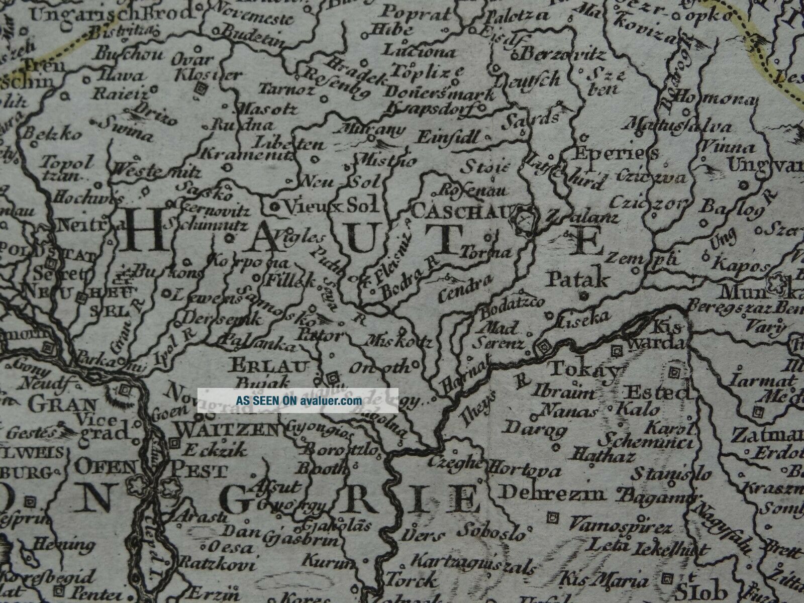
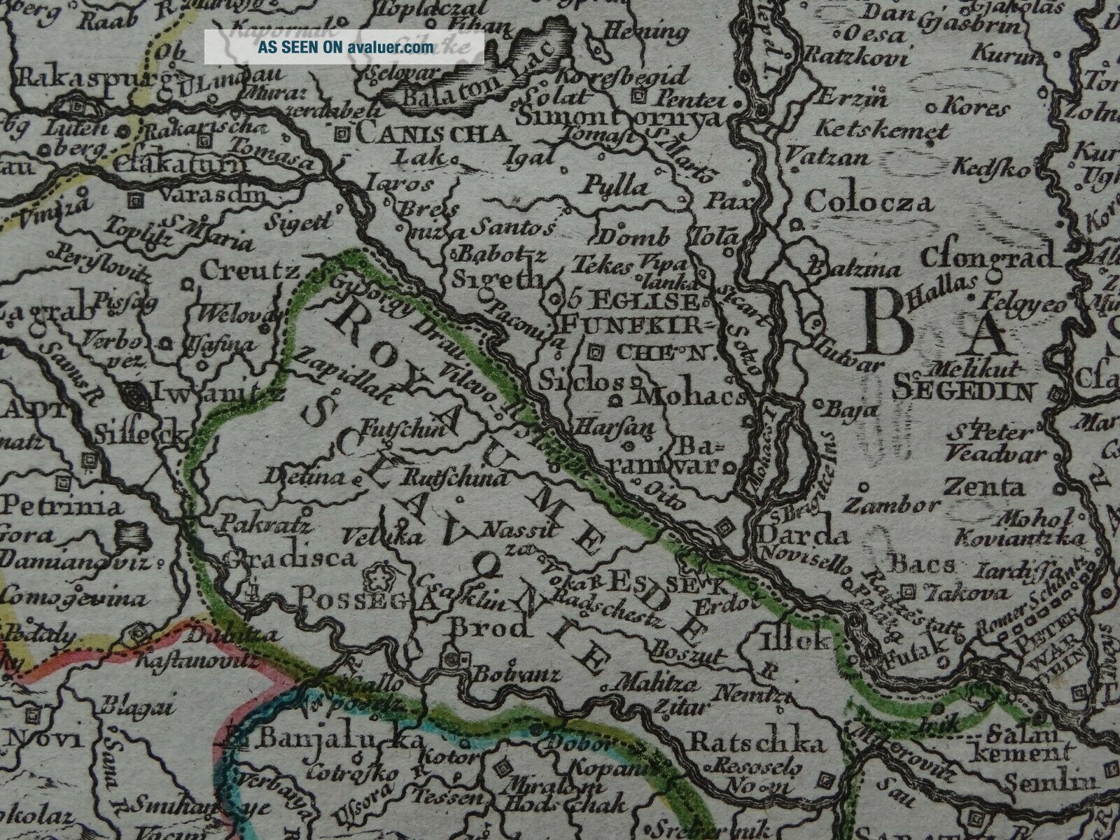
1743 LE ROUGE Atlas Map HUNGARY - Le Royaume De Hongrie
Item History & Price
| Reference Number: Avaluer:1236762 | Printing Technique: Copper Plate |
| Year: 1743 | Original/Reproduction: Antique Original |
| Date Range: 1700-1799 |
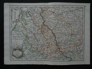
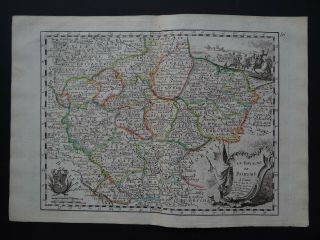
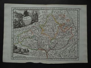
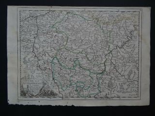
Map title:Le Royaume de Hongriepar et chez le Sr Le Rouge1743
A rare copper engraved antique map of HungaryBy Georges Louis Le Rouge1743
From the book:Introduction a la GeographiePar le Sieur Le RougeParis1748
See pictures
Page size 32 x 22 cmMap is in good condition for age, engravings are clearPage has some marginal browning and handling marksText in FrenchCentre fold line as issued, 5cm tear to lower part of fold lineBlank on reverseOriginal hand colou...red outlines
Payments by PayPal please.UK postage £4.99Europe £9.99Worldwide £10.50
00033