Surveying For Gold - Exploring The Bohemia Mining District - An Historical Atlas
Item History & Price
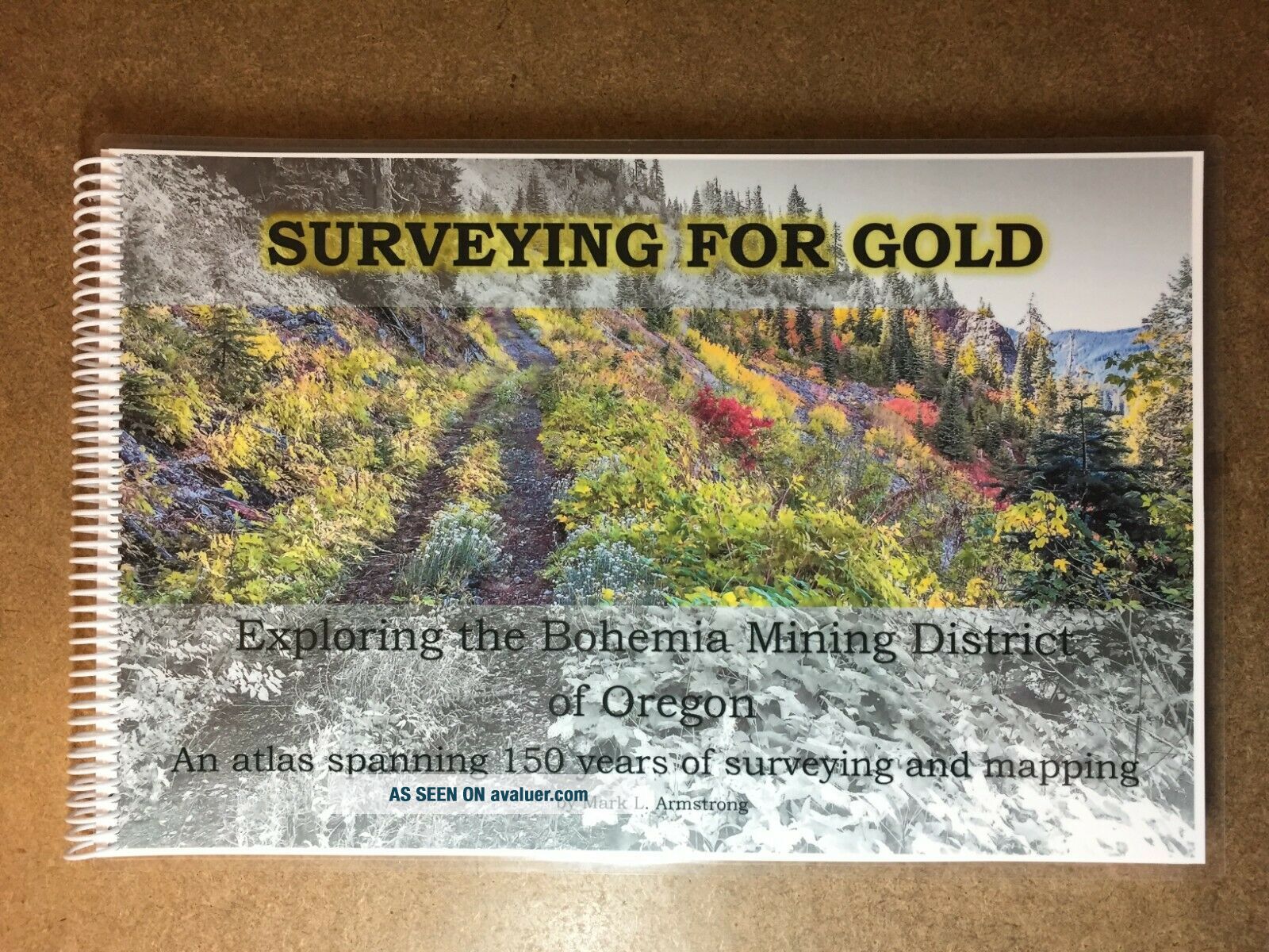
SURVEYING FOR GOLD by Mark L. Armstrong
Exploring the Bohemia Mining District of Oregon
An atlas spanning 150 years of surveying and mapping. Limited edition (only 500 signed and numbered copies will be printed).
Size: 11" x 17" landscape format printed on premium 28 lb bright white paper with 10 mil laminated covers for durability.Weight and pages: The book is nearly 5 lbs and 236 pages.
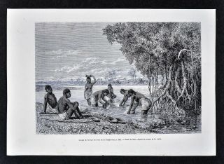
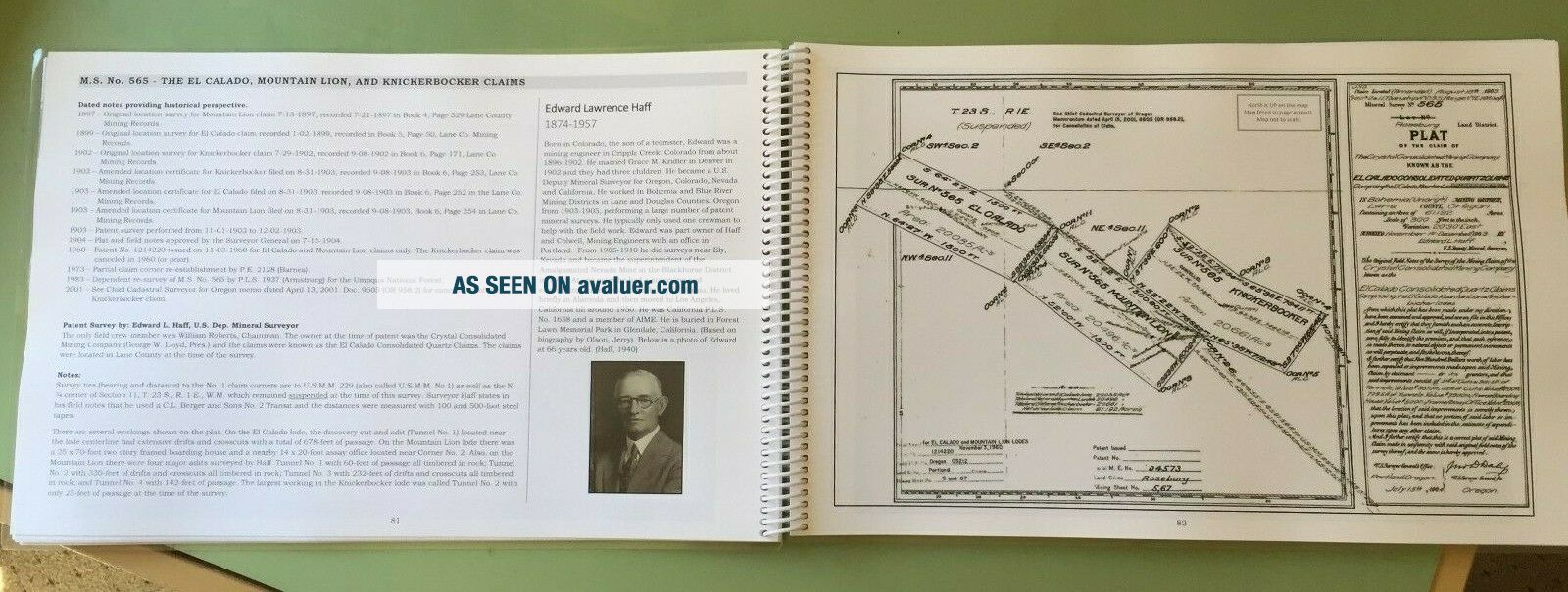
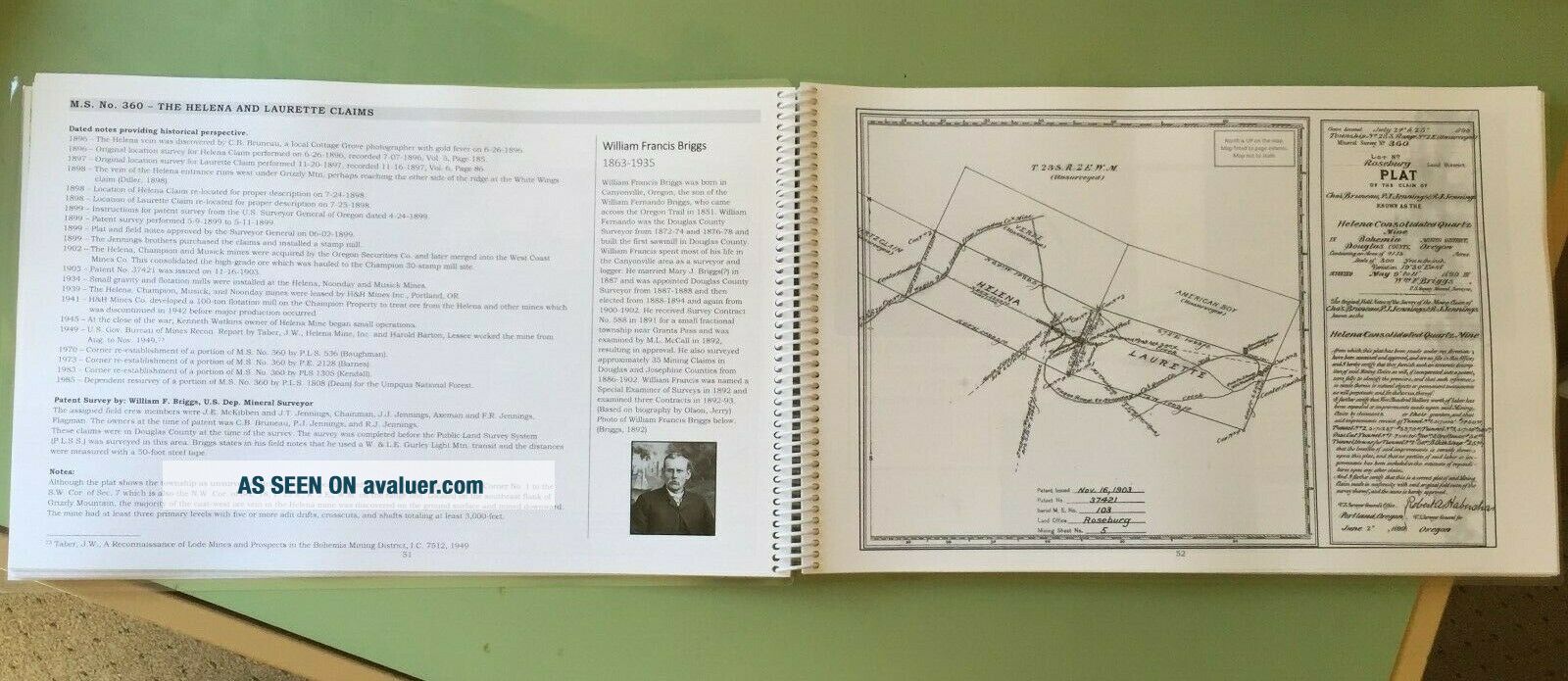
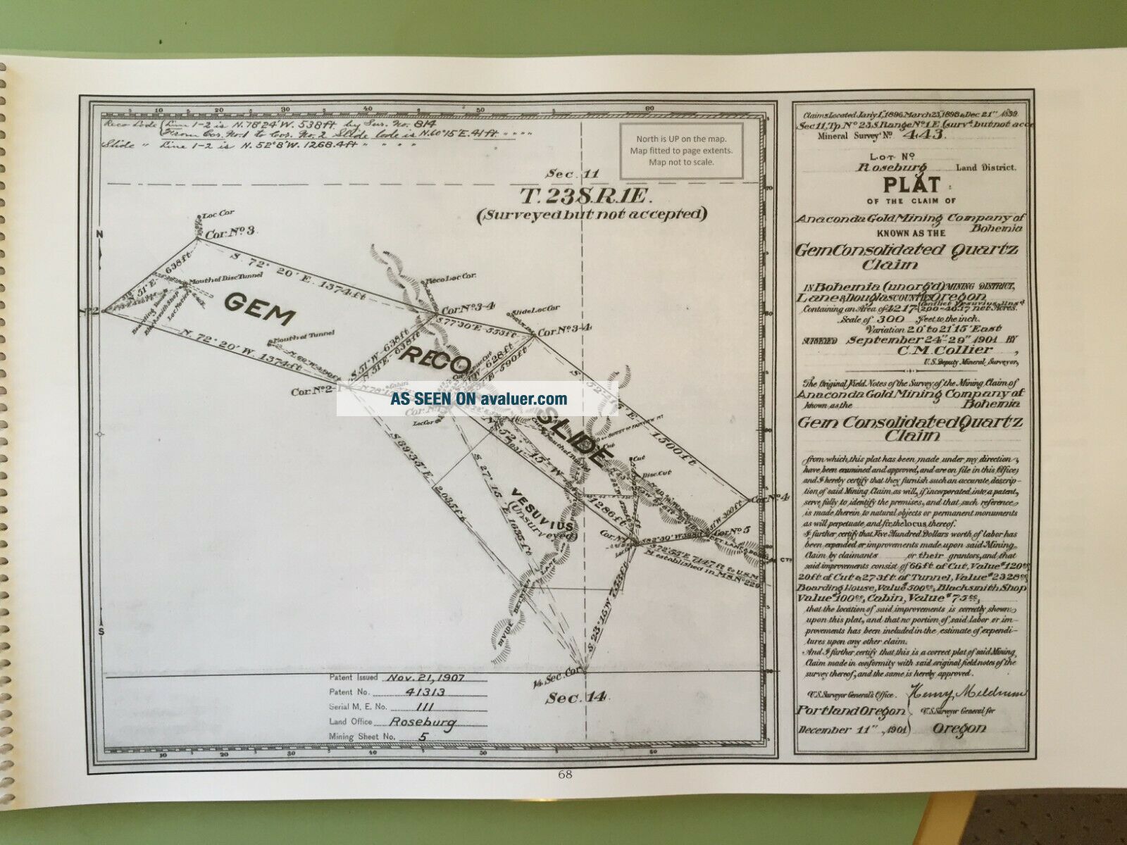
Over 100 historic maps and survey plats depicting old trails, wagon roads, mines..., adits, tunnels, old boarding houses, hotels and cabin locations. It includes all of the patented mineral survey load claim Government Land Office and BLM plats in chronological order accompanied by the complete history of discovery, original location and patent survey work. Each map has been edited by the author for best reading in this landscape format. History of the Bohemia Mining District.Geology of the Bohemia Mining District including map of the known ledges (ore veins) contacting the surface.History of the Public Land Survey System surrounding the District.Biographical information on each of the U.S. Deputy Mineral Surveyors who worked in the district.United States Federal Mining Acts and relevant Oregon mining law of the period.USGS historic quad maps inside the front and back covers enlarged and edited by the author.ABSTRACT - EXPLORING THE BOHEMIA MININGDISTRICT OF OREGONThis book is designed as a referenceatlas and provides an historical look into the discovery of gold in the WesternOregon Cascades beginning in 1858 in the region known today as the BohemiaMining District. The area is high with ridge-lines and peaks over 5, 000-feetand steep rocky slopes making travel back then nearly unbearable and even todayvery difficult. It begins with the earliest prospectors who followed theNative American trails into the heart of the Calapooya Mountains searching for aglimmer of yellow in the creeks. The surveying of mining claims started hereeven before the Public Land Survey System subdivision of townships had begun.This book spans nearly 150-years and pulls together important geodetic andcadastral survey work in the form of mineral survey plats, mine maps, photos, and little-known facts forming an historical chronological record.
DEDICATION – TO THE EARLY U.S. DEPUTY MINERALSURVEYORSThis book is dedicated to the earlyU.S. Deputy Mineral Surveyors who worked under the U.S. General Land Office(GLO) in the Bohemia Mining District between 1890 and 1946. This atlas alsoincludes mineral survey maps and records from 1946 toward the present performedunder the jurisdiction of the Bureau of Land Management (BLM). Even though theyare long gone, their dedicated survey work remains on the ground, in theirfield notes and survey plats. Follow their footsteps and appreciate theirdedication and perseverance as they survey and map the mining claims ofBohemia.
Exploring the Bohemia Mining District of Oregon
An atlas spanning 150 years of surveying and mapping. Limited edition (only 500 signed and numbered copies will be printed).
Size: 11" x 17" landscape format printed on premium 28 lb bright white paper with 10 mil laminated covers for durability.Weight and pages: The book is nearly 5 lbs and 236 pages.
Over 100 historic maps and survey plats depicting old trails, wagon roads, mines..., adits, tunnels, old boarding houses, hotels and cabin locations. It includes all of the patented mineral survey load claim Government Land Office and BLM plats in chronological order accompanied by the complete history of discovery, original location and patent survey work. Each map has been edited by the author for best reading in this landscape format. History of the Bohemia Mining District.Geology of the Bohemia Mining District including map of the known ledges (ore veins) contacting the surface.History of the Public Land Survey System surrounding the District.Biographical information on each of the U.S. Deputy Mineral Surveyors who worked in the district.United States Federal Mining Acts and relevant Oregon mining law of the period.USGS historic quad maps inside the front and back covers enlarged and edited by the author.ABSTRACT - EXPLORING THE BOHEMIA MININGDISTRICT OF OREGONThis book is designed as a referenceatlas and provides an historical look into the discovery of gold in the WesternOregon Cascades beginning in 1858 in the region known today as the BohemiaMining District. The area is high with ridge-lines and peaks over 5, 000-feetand steep rocky slopes making travel back then nearly unbearable and even todayvery difficult. It begins with the earliest prospectors who followed theNative American trails into the heart of the Calapooya Mountains searching for aglimmer of yellow in the creeks. The surveying of mining claims started hereeven before the Public Land Survey System subdivision of townships had begun.This book spans nearly 150-years and pulls together important geodetic andcadastral survey work in the form of mineral survey plats, mine maps, photos, and little-known facts forming an historical chronological record.
DEDICATION – TO THE EARLY U.S. DEPUTY MINERALSURVEYORSThis book is dedicated to the earlyU.S. Deputy Mineral Surveyors who worked under the U.S. General Land Office(GLO) in the Bohemia Mining District between 1890 and 1946. This atlas alsoincludes mineral survey maps and records from 1946 toward the present performedunder the jurisdiction of the Bureau of Land Management (BLM). Even though theyare long gone, their dedicated survey work remains on the ground, in theirfield notes and survey plats. Follow their footsteps and appreciate theirdedication and perseverance as they survey and map the mining claims ofBohemia.