Watson ' S Atlas Of The World 1886 Tipped - In Color US State & Country Maps,
Item History & Price
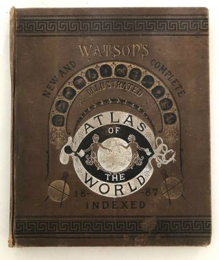
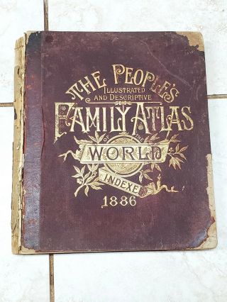
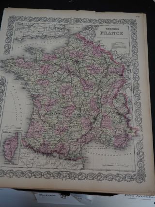
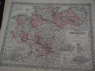
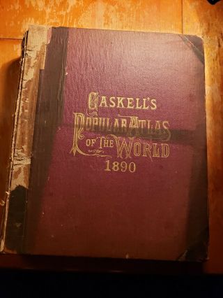
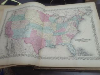
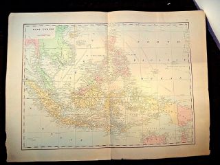
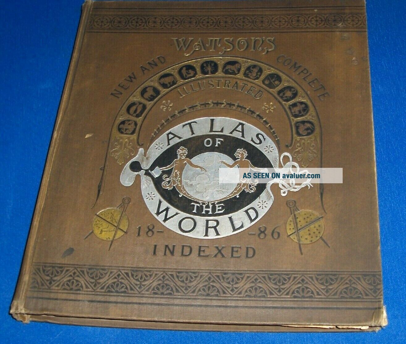
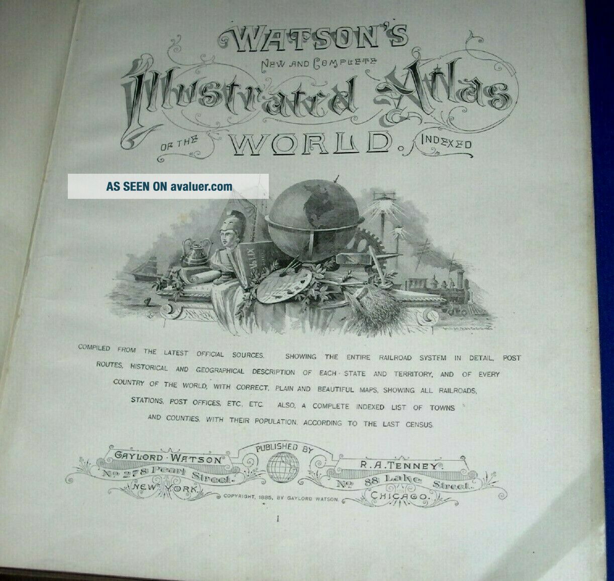
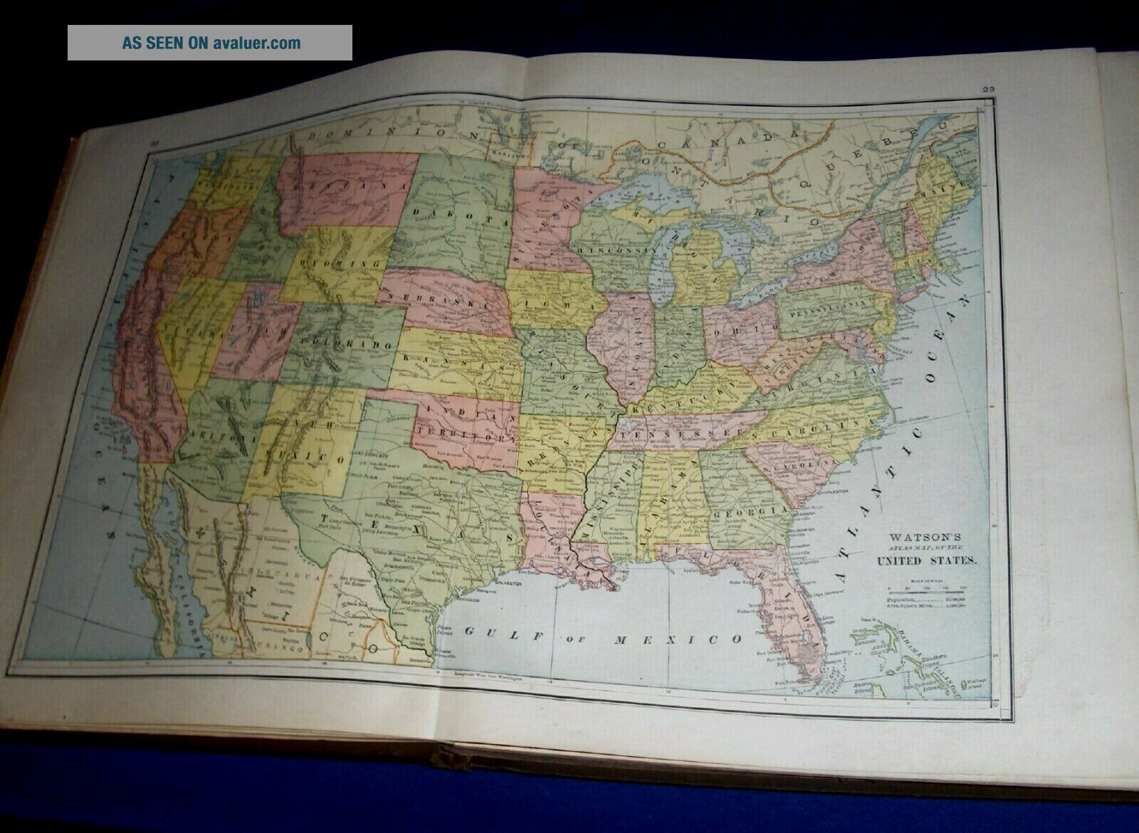
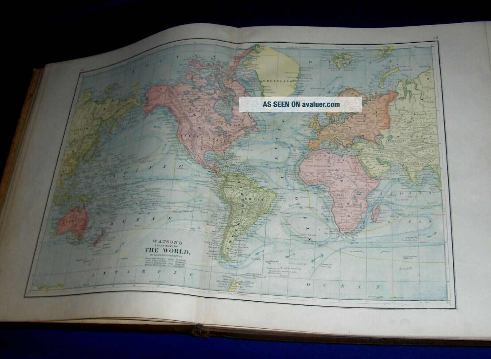
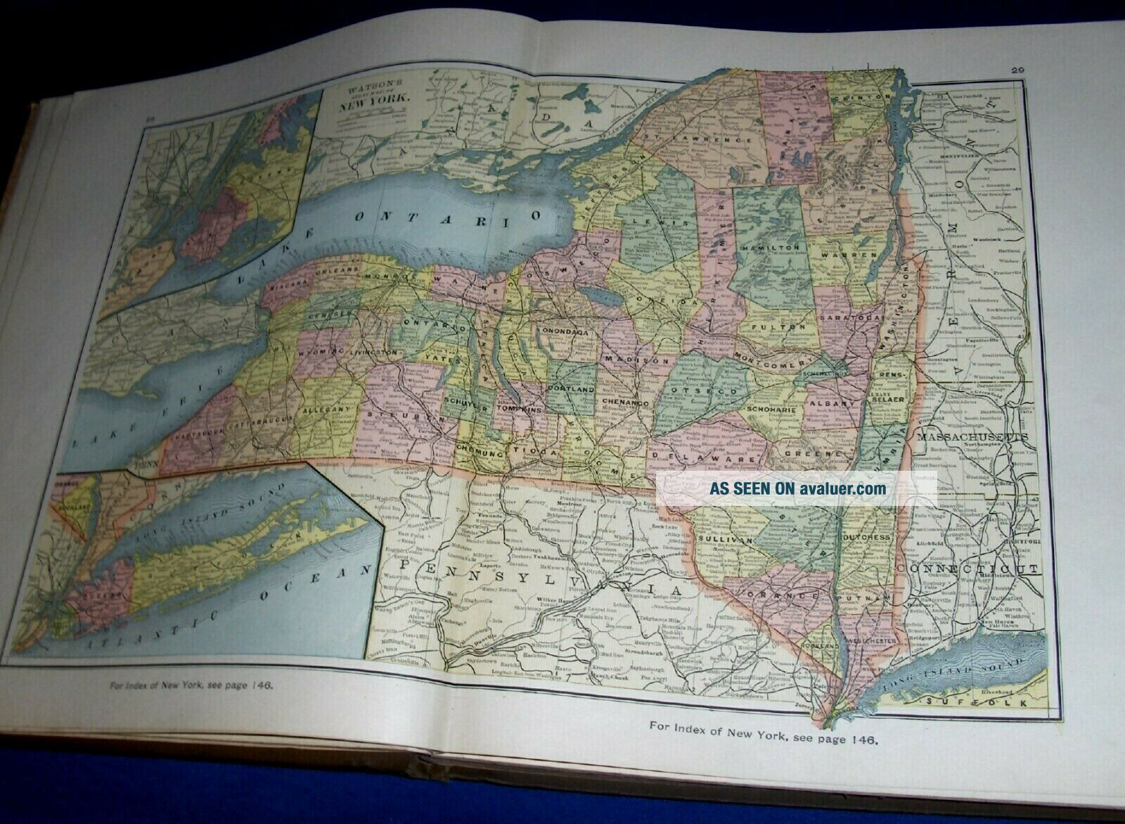
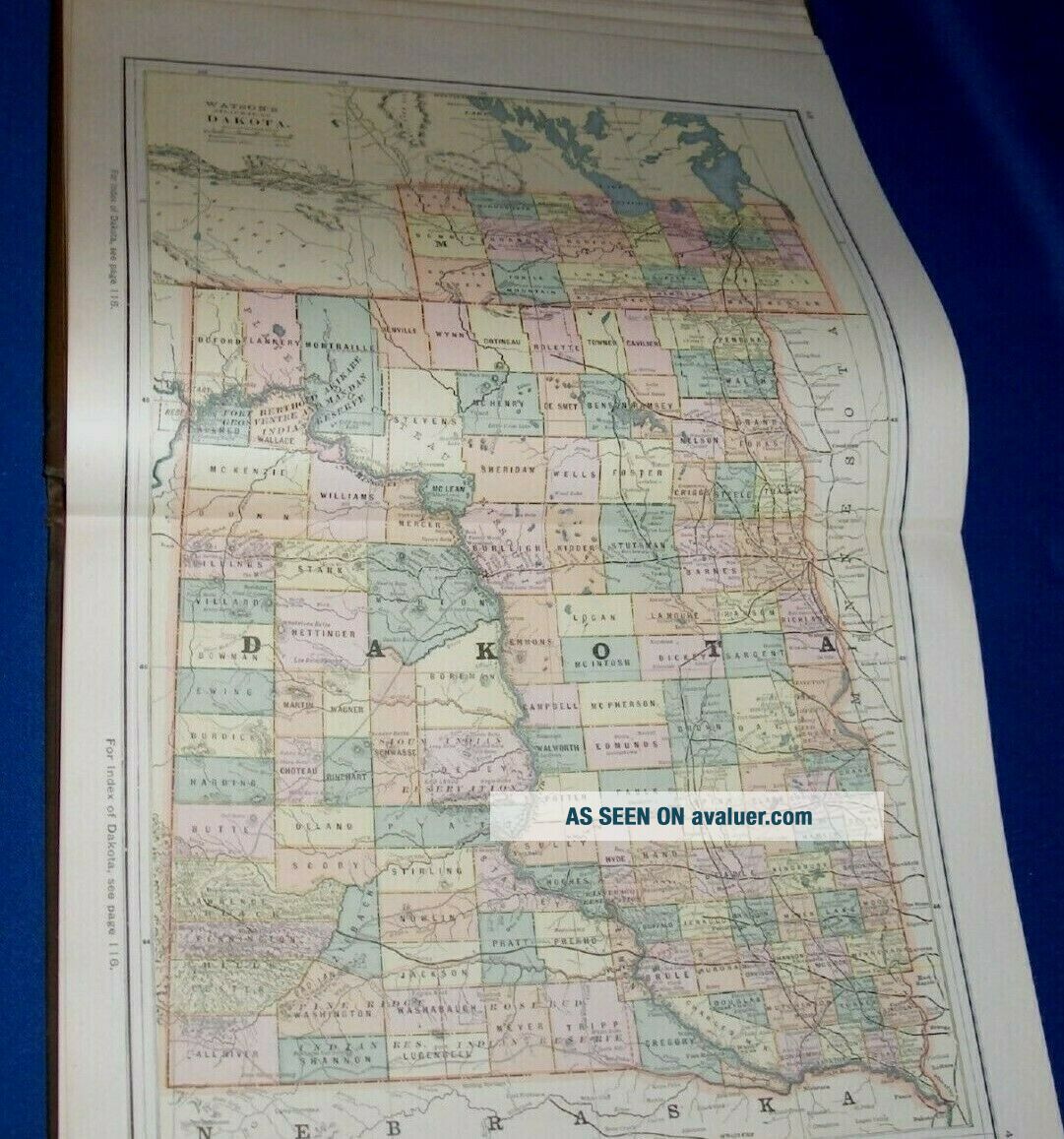
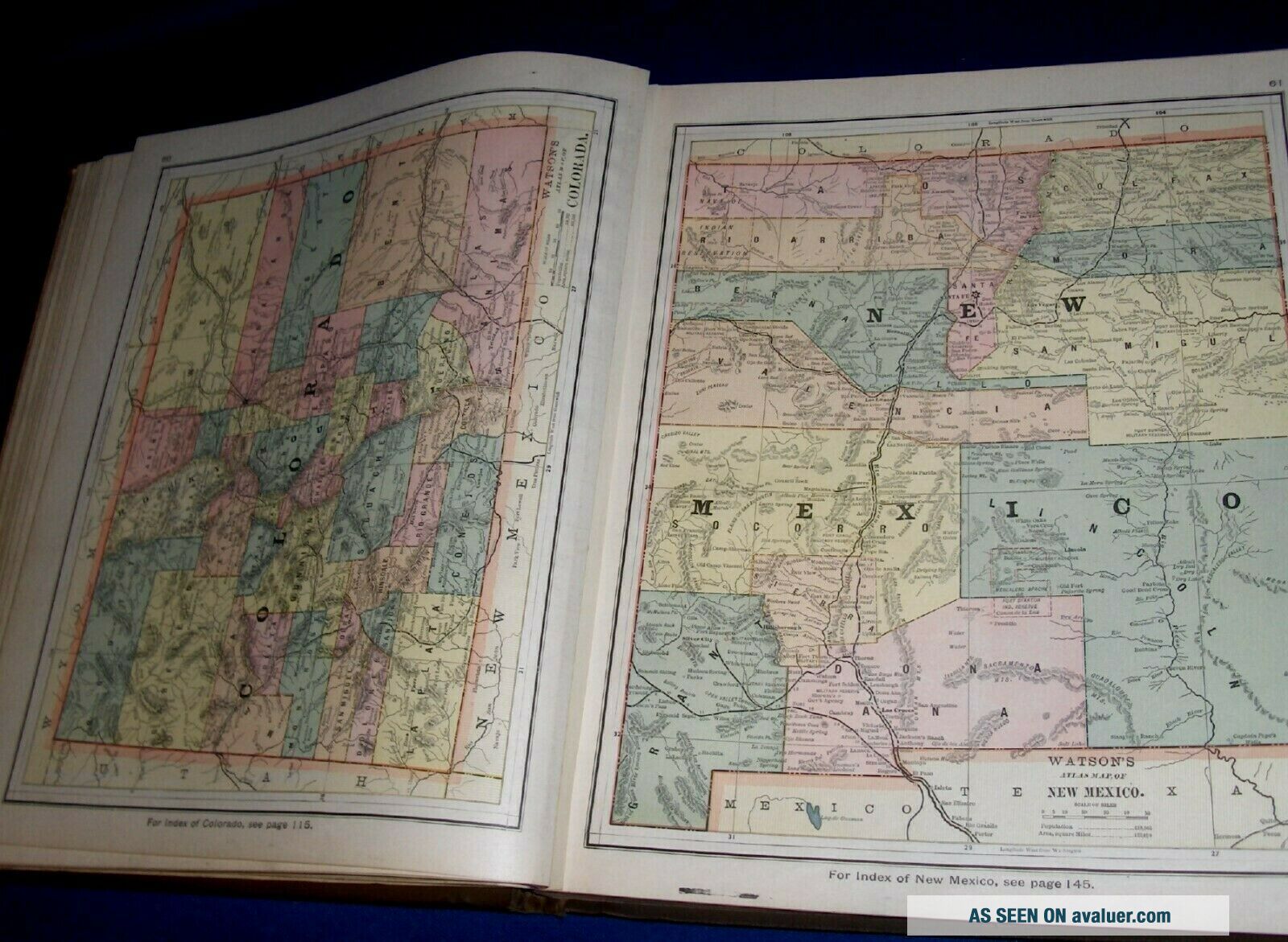
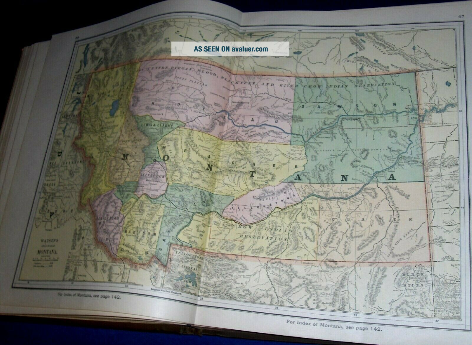
Up for auction is this original hardbound 1886 Watson's New and Complete Illustrated Atlas of the World, published by Gaylord Watson, NY, atlas has tipped-in color maps of Countries, United States and US State maps, plus Statistics, Diagrams, illustrated State and County Historical and Descriptive Facts, Solar System, Declaration of Independence, Constitution, and much much more, 250 pages, atlas size appx 12" x 14"
Condition: Atlas covers show some edge, spine and corner wear..., some soiling on covers, back cover has area of discoloration near top left corner, contents are complete and VG with light edge and corner wear, a few pages with light soiling mostly around edges, inside spine covers are torn so binding is a little loose, maps are VG to VG+ and are very clean and nice, heavy musty/smoky smell due to poor storage. Overall: Atlas is G+ due to cover wear and smell, and Maps are VG to VG+.
NICE HARD TO FIND ORIGINAL WATSON'S ATLAS OF THE WORLD WITH NICE TIPPED-IN COLOR MAPS INCLUDING MANY 2-PAGE STATE AND COUNTRY MAPS FROM NE OHIO ESTATE
CHECK OUR OTHER AUCTIONS FOR OLD BOOKS, MAGAZINES, CATALOGS, ADVERTISING, PAPER COLLECTABLES, AND OTHER ITEMS FROM 1820'S-1950'S
00077