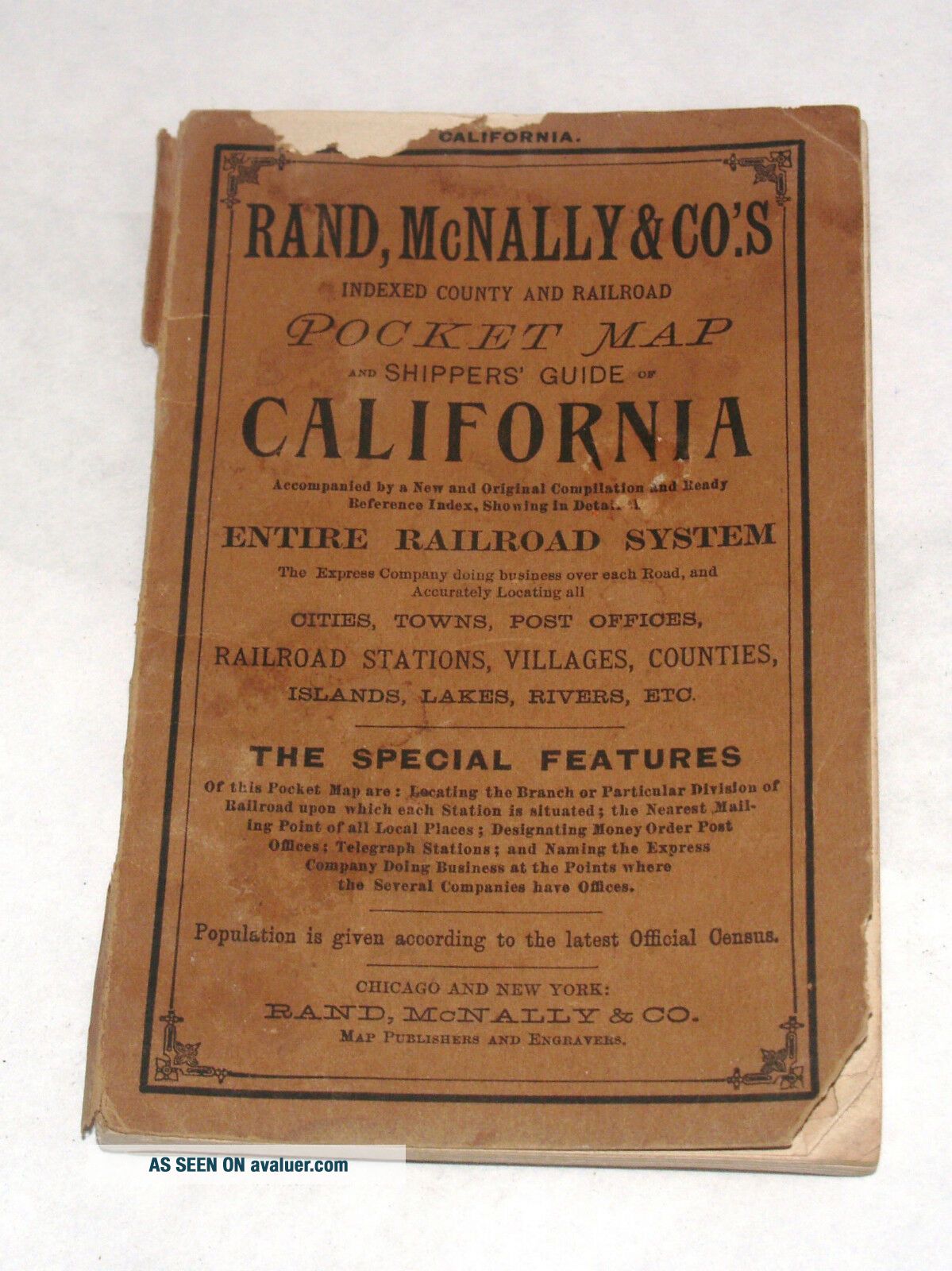
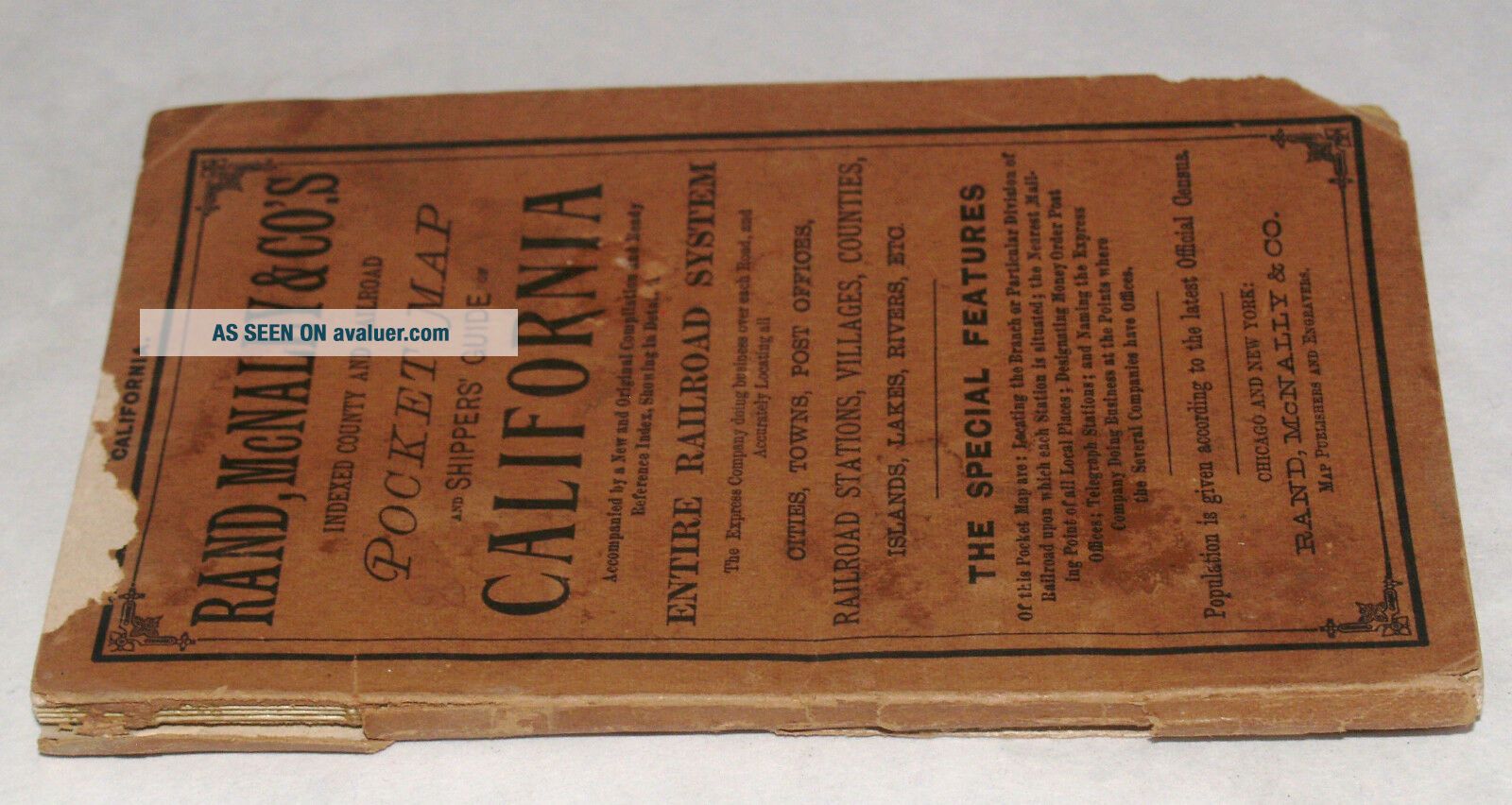
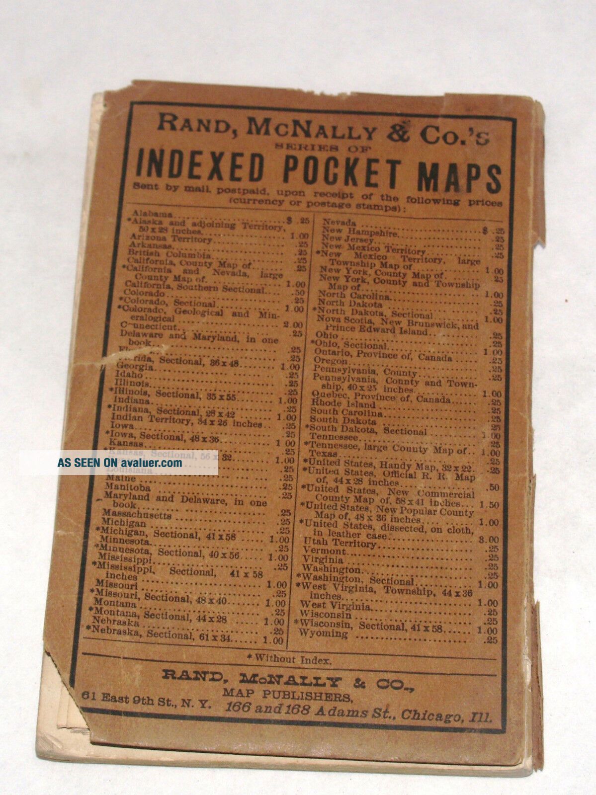
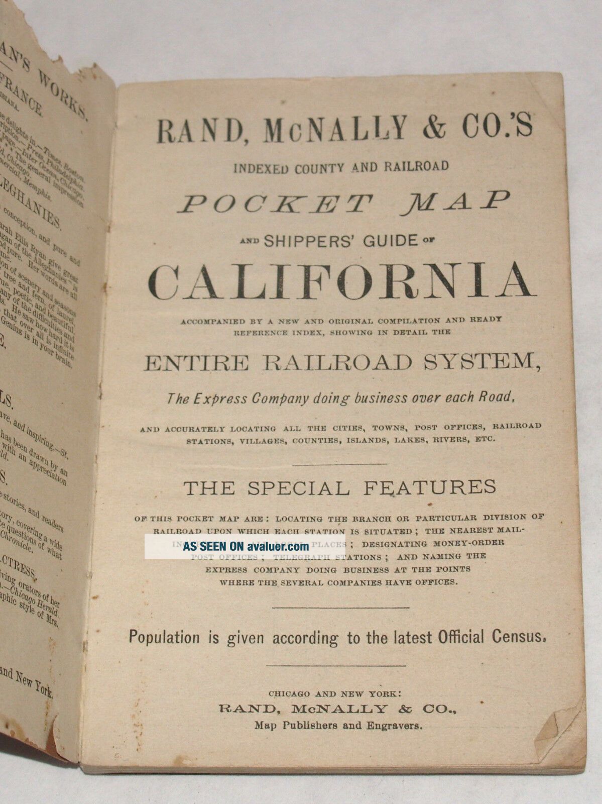
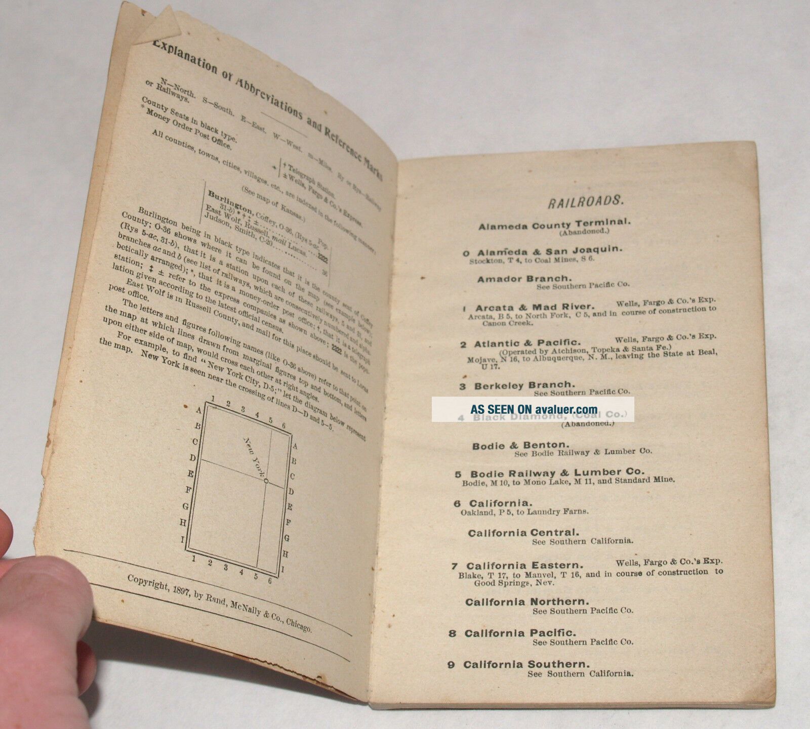
ANTIQUE RAND MCNALLY POCKET MAP SHIPPERS GUIDE OF CALIFORNIA 1897 RAILROAD CA


Item History & Price

Information:
Reference Number: Avaluer:1237885Maker: Rand McNally
Publication Year: 1897North America States & Provinces: California
Year: 1897Type: Pocket
Original Description:
A POCKET MAP AND SHIPPERS' GUIDE TO CALIFORNIA
RAND MCNALLY, 1897

approximately 28 x 21 inches (the map)


00048


    Similar items


  • Rand Mcnally Pocket Map & Shipper

    Rand Mcnally Pocket Map & Shipper ' S Of Wyoming - Guide Booklet Without Map 1913

  • Vintage Rand - Mcnally Pocket Map Shippers Guide York Railroads Towns Villages

    Vintage Rand - Mcnally Pocket Map Shippers Guide York Railroads Towns Villages

  • Vintage Rand - Mcnally Pocket Map Shippers Guide Indiana Railroads Towns Villages

    Vintage Rand - Mcnally Pocket Map Shippers Guide Indiana Railroads Towns Villages

  • Rand - Mcnally Indexed Pocket Map & Shippers

    Rand - Mcnally Indexed Pocket Map & Shippers ' Guide Of South Carolina, 1915

  • 1920 Kansas Rand Mcnally Indexed Pocket Map Shippers Guide

    1920 Kansas Rand Mcnally Indexed Pocket Map Shippers Guide

  • Rand Mcnally Pocket Map Of Mexico And Shippers

    Rand Mcnally Pocket Map Of Mexico And Shippers ' Guide, 1911

  • Rand Mcnally Pocket Map Of Alberta,  And Shippers

    Rand Mcnally Pocket Map Of Alberta, And Shippers ' Guide, 1913

  • Rand Mcnally Pocket Map And Shipper

    Rand Mcnally Pocket Map And Shipper ' S Guide Of Wisconsin - 1913


    • You might also like


    • 1860 Mitchell Hand Colored Map Colorado,  Nebraska & Kansas - Civil War Era

      1860 Mitchell Hand Colored Map Colorado, Nebraska & Kansas - Civil War Era

    • 18th Century French Map Of North America

      18th Century French Map Of North America

    • Las Vegas Nevada Vintage 1967 Us Geological Survey Quadrangle Map 4 Panels

      Las Vegas Nevada Vintage 1967 Us Geological Survey Quadrangle Map 4 Panels

    • Rare Antique 1845 Maps United States Exploring Expedition Book Antartica Hawaii

      Rare Antique 1845 Maps United States Exploring Expedition Book Antartica Hawaii

    • Vintage 1926 Map Hollywood From The Best Surveys Of The Time

      Vintage 1926 Map Hollywood From The Best Surveys Of The Time

    • American Continent (western Hemisphere) 1747 Bowen Antique Copper Engraved Map

      American Continent (western Hemisphere) 1747 Bowen Antique Copper Engraved Map

    • Gulf Coast Florida Texas United States 1705 De Fer Unusual Antique Engraved Map

      Gulf Coast Florida Texas United States 1705 De Fer Unusual Antique Engraved Map

    • California As Island United States 1700 De Fer Unusual First Edition Antique Map

      California As Island United States 1700 De Fer Unusual First Edition Antique Map

Avaluer          About Us          Privacy Policy          Contact Us          UP
© 2022, avaluer.net, Inc. or its affiliates