COUNTY OF CHESHIRE 1891 George Philip & Son ANTIQUE MAP


Item History & Price

Information:
Reference Number: Avaluer:1237956Type: County Map
Country/Region: United KingdomYear: 1891
Format: Folding MapDate Range: 1800-1899
Original/Reproduction: Antique OriginalCounty: Cheshire
Era: 1800s
Original Description:
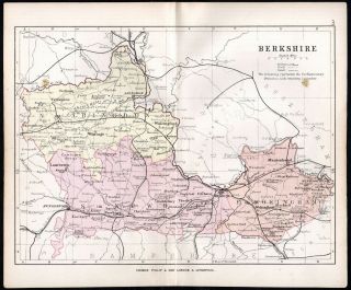
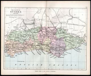
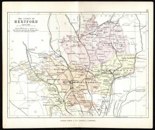
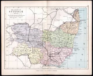
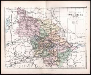
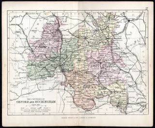
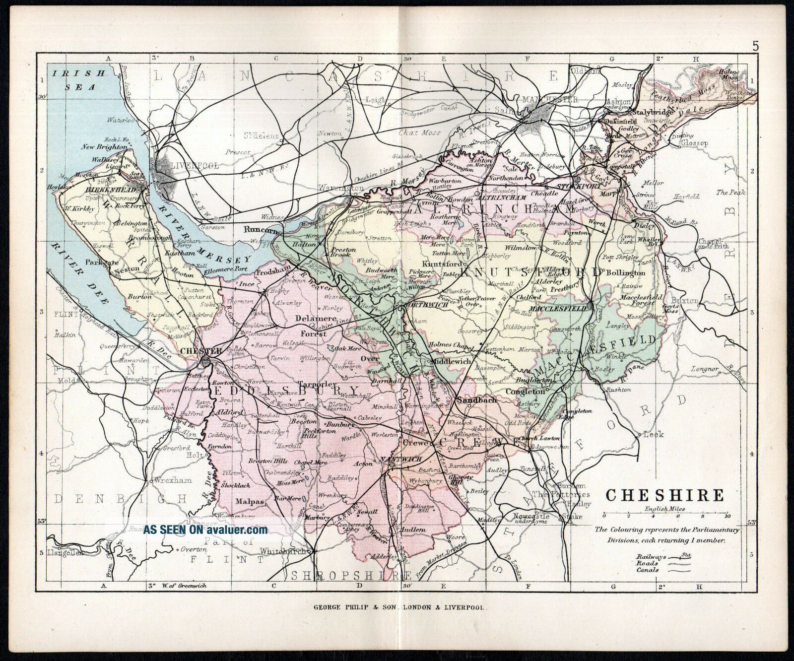
Original 1891 8 3/4 inch x 7 1/4 inch steel engraved map of THE COUNTY OF CHESHIRE
Roads, Railways, Canals, Parliamentary Divisions.
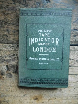
From Philips’ ‘Handy Atlas of the Counties of England’ published by George Philip & Son Ltd, 32 Fleet Street, London.
George Philip (1800–1882) was a cartographer, map publisher and founder of the publishing house George Philip & Son Ltd.This is a folding map in very good condition. Reverse side blank.

...


    Similar items


  • County Of Berkshire 1891 George Philip & Son Antique Map

    County Of Berkshire 1891 George Philip & Son Antique Map

  • County Of Sussex 1891 George Philip & Son Antique Map

    County Of Sussex 1891 George Philip & Son Antique Map

  • County Of Hertford 1891 George Philip & Son Antique Map

    County Of Hertford 1891 George Philip & Son Antique Map

  • County Of Suffolk 1891 George Philip & Son Antique Map

    County Of Suffolk 1891 George Philip & Son Antique Map

  • West Riding Of Yorkshire 1891 George Philip & Son Antique Map

    West Riding Of Yorkshire 1891 George Philip & Son Antique Map

  • Counties Of Oxford And Buckingham 1891 George Philip & Son Antique Map

    Counties Of Oxford And Buckingham 1891 George Philip & Son Antique Map

  • Antique Map Of Roman Britain George Philip & Sons C1931

    Antique Map Of Roman Britain George Philip & Sons C1931

  • Philips Tape Indicator Map Of London.  By George Philip & Son Ltd C1920

    Philips Tape Indicator Map Of London. By George Philip & Son Ltd C1920


    • You might also like


    • Hungary & Romania 1579 (1584) Ortelius Unusual Antique Copper Engraved Map

      Hungary & Romania 1579 (1584) Ortelius Unusual Antique Copper Engraved Map

    • Brussels Bruxelles Belfium 1777 De Ferraris & Dupuis Large Antique Map Sheet Xxi

      Brussels Bruxelles Belfium 1777 De Ferraris & Dupuis Large Antique Map Sheet Xxi

    • 1616 Atlas Map Of Iceland.

      1616 Atlas Map Of Iceland.

    • Kazan Russia 1767 Le Clerc/lespinasse Antique Copper Engraved City View

      Kazan Russia 1767 Le Clerc/lespinasse Antique Copper Engraved City View

    • 1899 Stanford,  Folding Map Of Norwich,  Norfolk,  Arthur Collins,  Jarrold & Sons,

      1899 Stanford, Folding Map Of Norwich, Norfolk, Arthur Collins, Jarrold & Sons,

    • 1948 Vintage Linen Colour Map Geological Survey Ten Mile Of Great Britain

      1948 Vintage Linen Colour Map Geological Survey Ten Mile Of Great Britain

    • 1944 Map Flying Bombs Sussex Ww2 Newspaper Military Kent Courier German V1 V2

      1944 Map Flying Bombs Sussex Ww2 Newspaper Military Kent Courier German V1 V2

    • Dated 1638 Vellum Map Of Icklesham Sussex Showing Land Uses Owners Etc

      Dated 1638 Vellum Map Of Icklesham Sussex Showing Land Uses Owners Etc

Avaluer          About Us          Privacy Policy          Contact Us          UP
© 2022, avaluer.net, Inc. or its affiliates