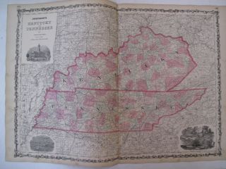
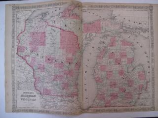
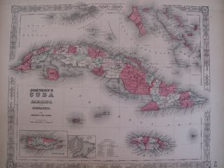
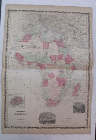
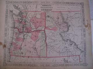
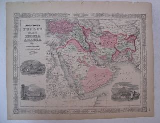
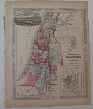
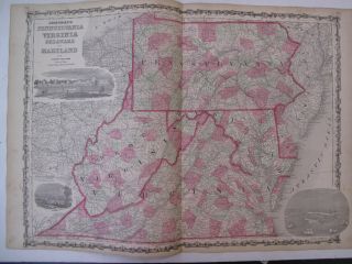
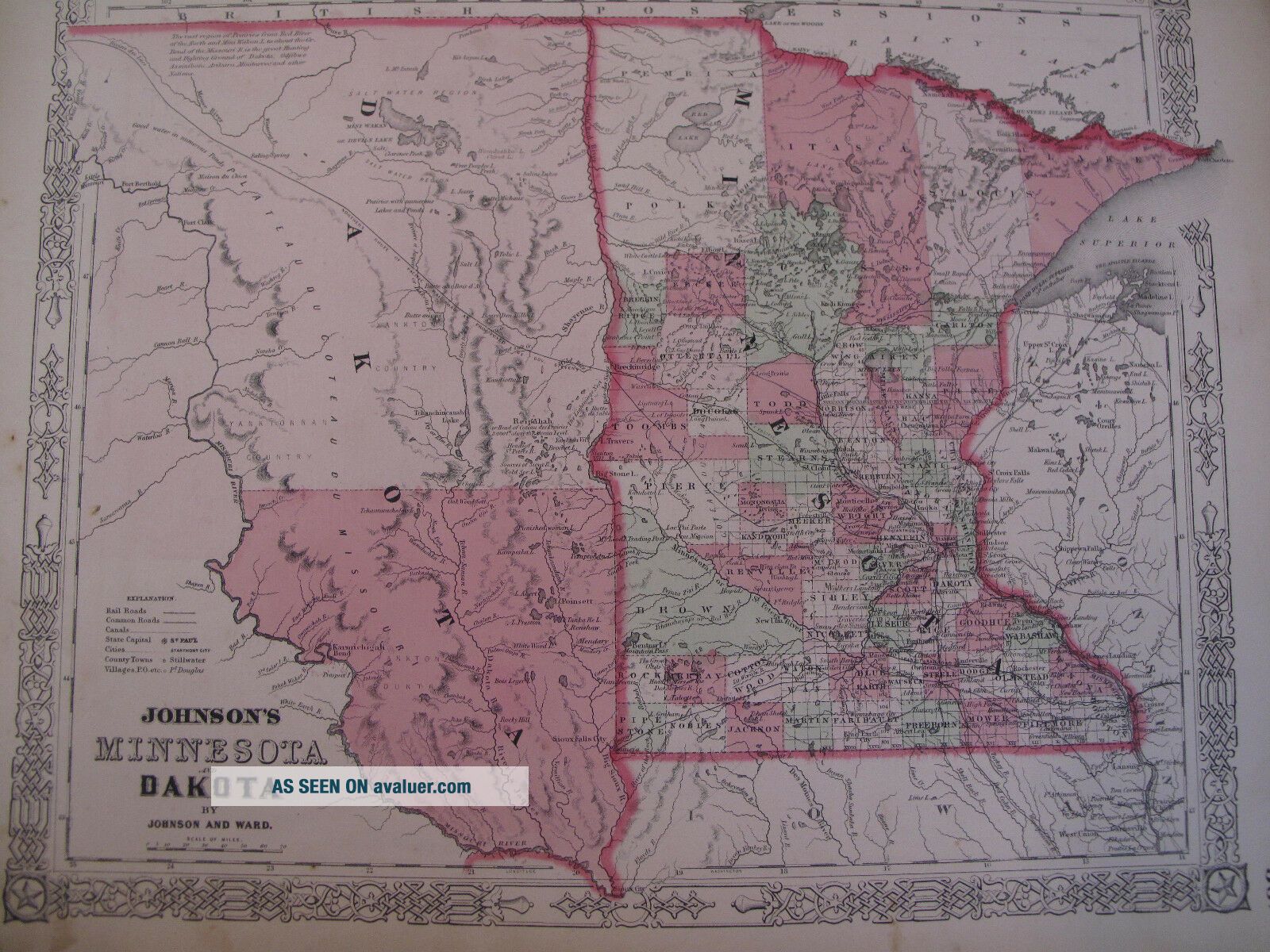
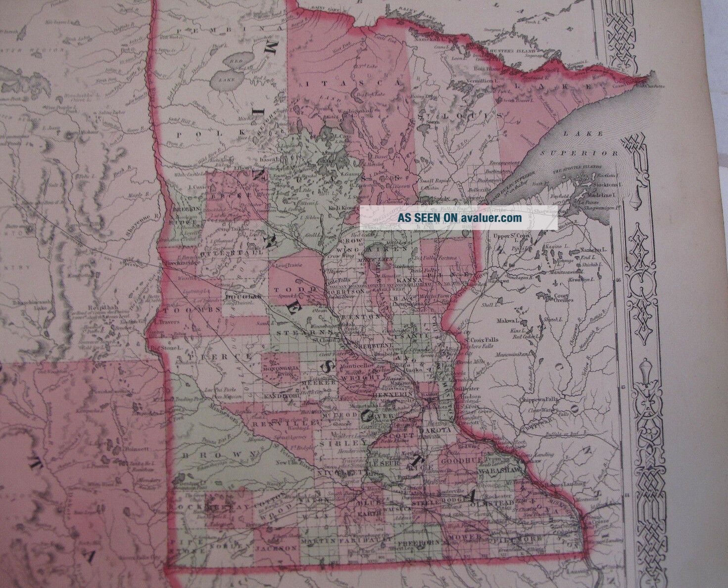
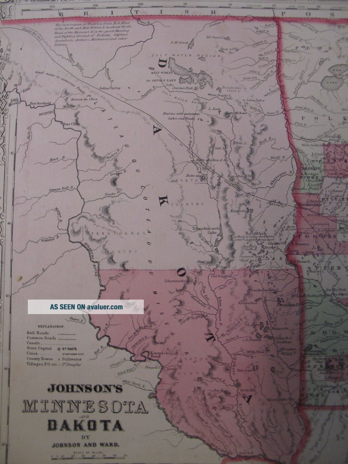
Hand Colored Map Johnson ' S Atlas Minnesota Dakota St. Paul Sioux Falls MN 1863


Item History & Price

Information:
Reference Number: Avaluer:1239013Original/Reproduction: Original
Year: 1863Type: Map
Original Description:
 We are offering a hand-colored map, removed from a Johnson's New Illustrated Family Atlas, 1863. The map is titled, Johnson's Minnesota and Dakota By Johnson and Ward. This map is in Very Good condition, with nice bright color, but also with some light soiling/toning and light foxing. The map shows St. Paul, Minneapolis, Sioux Falls, and more.

Shipping Anywhere In The United States Media Mail $4; International Shipping $20.Please Note: We accept PayPal, but also accept al...l credit cards. Everything we sell is Returnable for any reason. We only ask for prompt notification, within 14 days.

We generally do try to "combine shipping" when you purchase more than one item--except in cases of large lots or very heavy shipments.

ON INTERNATIONAL ORDERS, WE DO REFUND ON OVERCHARGES!! Don't hesitate to ask for more info/detail on any of our listings.HOFFMAN BOOKS, ABAA, IOBA


    Similar items


  • Hand Colored Map Johnson

    Hand Colored Map Johnson ' S Atlas Kentucky Tennessee Nashville Frankfort Ky 1863

  • Hand Colored Map Johnson

    Hand Colored Map Johnson ' S Atlas Michigan Wisconsin Great Lakes Detroit 1863

  • Hand Colored Map Johnson

    Hand Colored Map Johnson ' S Atlas Cuba Jamaica Puerto Rico Havana Kingston 1863

  • Hand Colored Map Johnson

    Hand Colored Map Johnson ' S Atlas Africa Madagascar St. Helenae Sahara 1863

  • Hand Colored Map Johnson

    Hand Colored Map Johnson ' S Atlas Washington Oregon Idaho Seattle Salem 1863

  • Hand Colored Map Johnson

    Hand Colored Map Johnson ' S Atlas Turkey Saudi Arabia Iran Middle East 1863

  • Hand Colored Map Johnson

    Hand Colored Map Johnson ' S Atlas Palestine Judea Galilee Dead Sea Jerusalem 1863

  • Hand Colored Map Johnson

    Hand Colored Map Johnson ' S Atlas Pennsylvania Virginia Delaware Maryland 1863


    • You might also like


    • 1860 Mitchell Hand Colored Map Colorado,  Nebraska & Kansas - Civil War Era

      1860 Mitchell Hand Colored Map Colorado, Nebraska & Kansas - Civil War Era

    • 18th Century French Map Of North America

      18th Century French Map Of North America

    • Las Vegas Nevada Vintage 1967 Us Geological Survey Quadrangle Map 4 Panels

      Las Vegas Nevada Vintage 1967 Us Geological Survey Quadrangle Map 4 Panels

    • Rare Antique 1845 Maps United States Exploring Expedition Book Antartica Hawaii

      Rare Antique 1845 Maps United States Exploring Expedition Book Antartica Hawaii

    • Vintage 1926 Map Hollywood From The Best Surveys Of The Time

      Vintage 1926 Map Hollywood From The Best Surveys Of The Time

    • American Continent (western Hemisphere) 1747 Bowen Antique Copper Engraved Map

      American Continent (western Hemisphere) 1747 Bowen Antique Copper Engraved Map

    • Gulf Coast Florida Texas United States 1705 De Fer Unusual Antique Engraved Map

      Gulf Coast Florida Texas United States 1705 De Fer Unusual Antique Engraved Map

    • California As Island United States 1700 De Fer Unusual First Edition Antique Map

      California As Island United States 1700 De Fer Unusual First Edition Antique Map

Avaluer          About Us          Privacy Policy          Contact Us          UP
© 2022, avaluer.net, Inc. or its affiliates