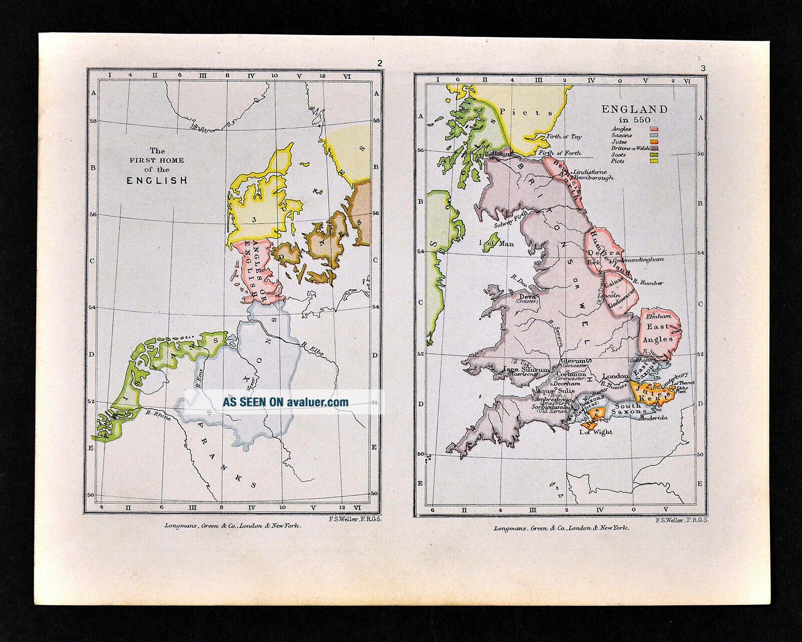
1892 Map England In 550 Anglo Saxon Britons Welsh Picts Scots English Ancestry
Item History & Price

1892 Map England In 550 Anglo Saxon Britons Welsh Picts Scots English Ancestry
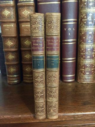
1845 A History Of England Under The Anglo Saxon Kings In 2v - Genealogy Tables
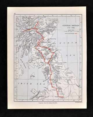
1892 Map England Scotland 1715 - 1745 Route Of The Pretender Jacobite Rebellion
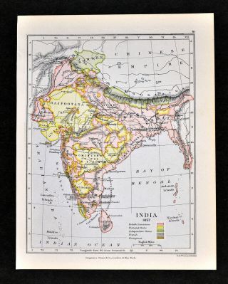
1892 Map India In 1857 British Rule Bengal Calcutta Bombay Ceylon Nepal

Lost Gods Of England By Branston/anglo - Saxon Religion/124 Pics/ Rare 1974 $180,
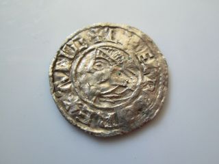
England 11 Century Anglo - Saxon Lsc Penny, Aethelred Ii Liofrold No Lvid
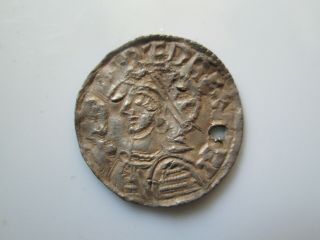
England 11 Century Anglo - Saxon Lincoln Penny, Aethelred Ii Helmet Type Mm Osmund
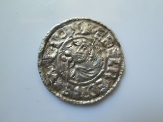
England 11 Century Anglo - Saxon Penny, Aethelred Ii Pvilvtel Mo Eofn

Hungary & Romania 1579 (1584) Ortelius Unusual Antique Copper Engraved Map

Brussels Bruxelles Belfium 1777 De Ferraris & Dupuis Large Antique Map Sheet Xxi

1616 Atlas Map Of Iceland.

Kazan Russia 1767 Le Clerc/lespinasse Antique Copper Engraved City View

1899 Stanford, Folding Map Of Norwich, Norfolk, Arthur Collins, Jarrold & Sons,

1948 Vintage Linen Colour Map Geological Survey Ten Mile Of Great Britain

1944 Map Flying Bombs Sussex Ww2 Newspaper Military Kent Courier German V1 V2

Dated 1638 Vellum Map Of Icklesham Sussex Showing Land Uses Owners Etc