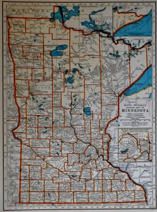
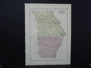
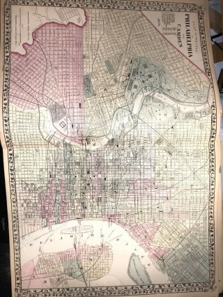
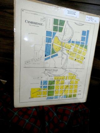
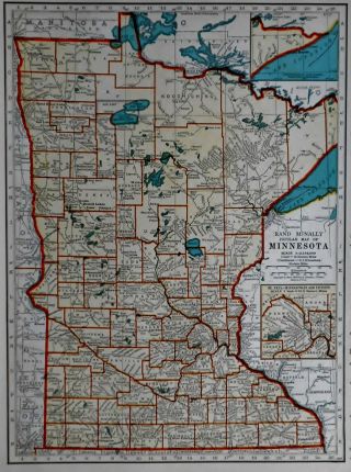
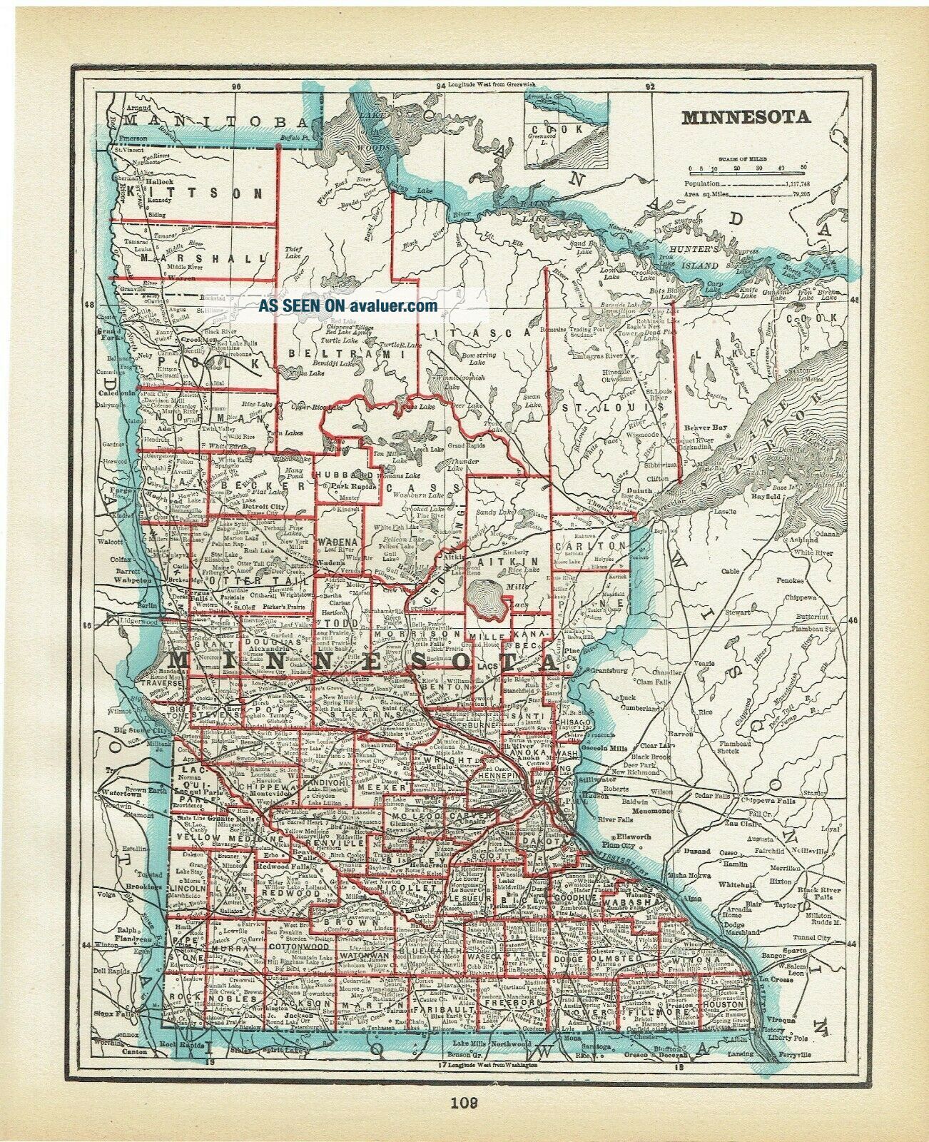
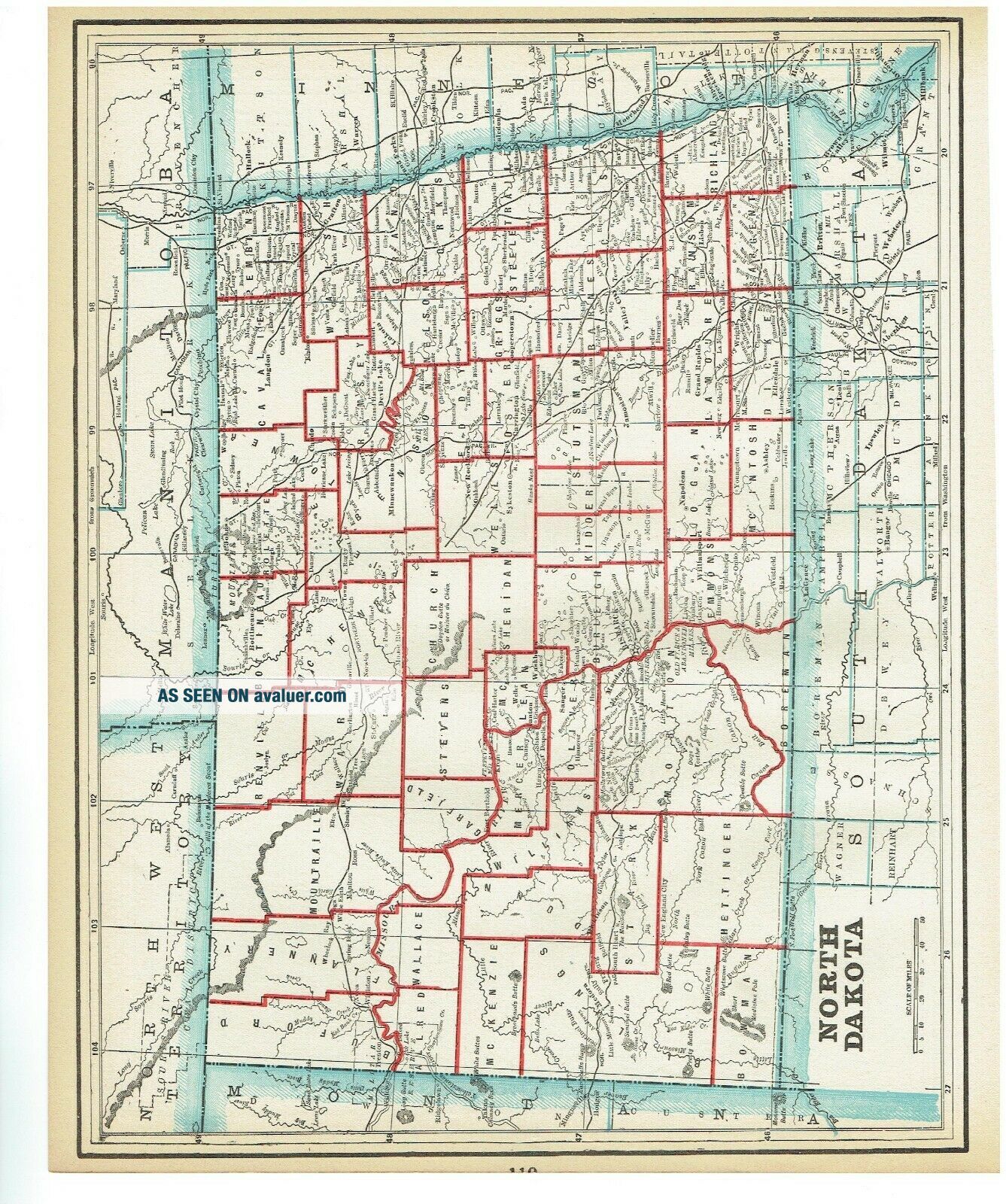
1893 Antique Atlas Map Of Minnesota And North Dakota
Item History & Price
Offered Today:
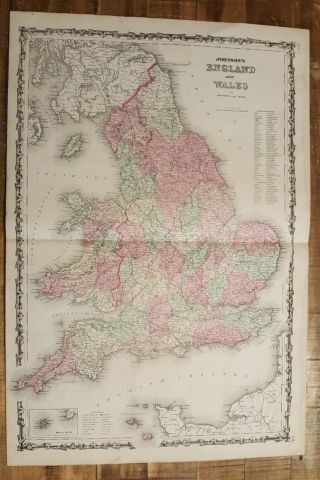
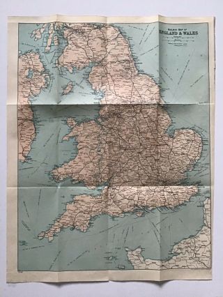
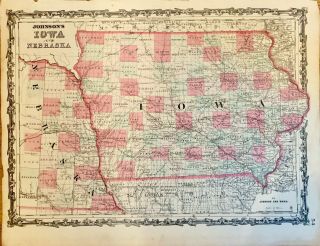
1893 Antique Maps
Minnesota and North Dakota
One Page, maps on either side. Only one can be framed!!!Page Size 11" X 13 1/2"Edges are age toned. Edges have an very occasional edge tear, not affecting the image or borderSometimes the printer printed the map and border slightly tilted, will not be a problem, ND trimmed tight by the printerMaps are generally better than the scansI have included a close up scan of the original map. Please take a look ...for more information. Word about the scans. Sometimes they highlight folds (two page maps) or show ripples. Some maps contain some slight rippling caused by being bound too tight, no water damage, no problem for the framer. These are just shadows and not part of the real map. Email for specific questions.