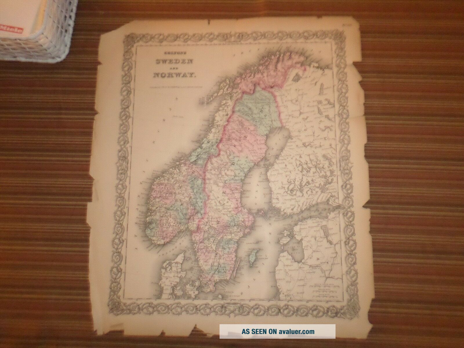
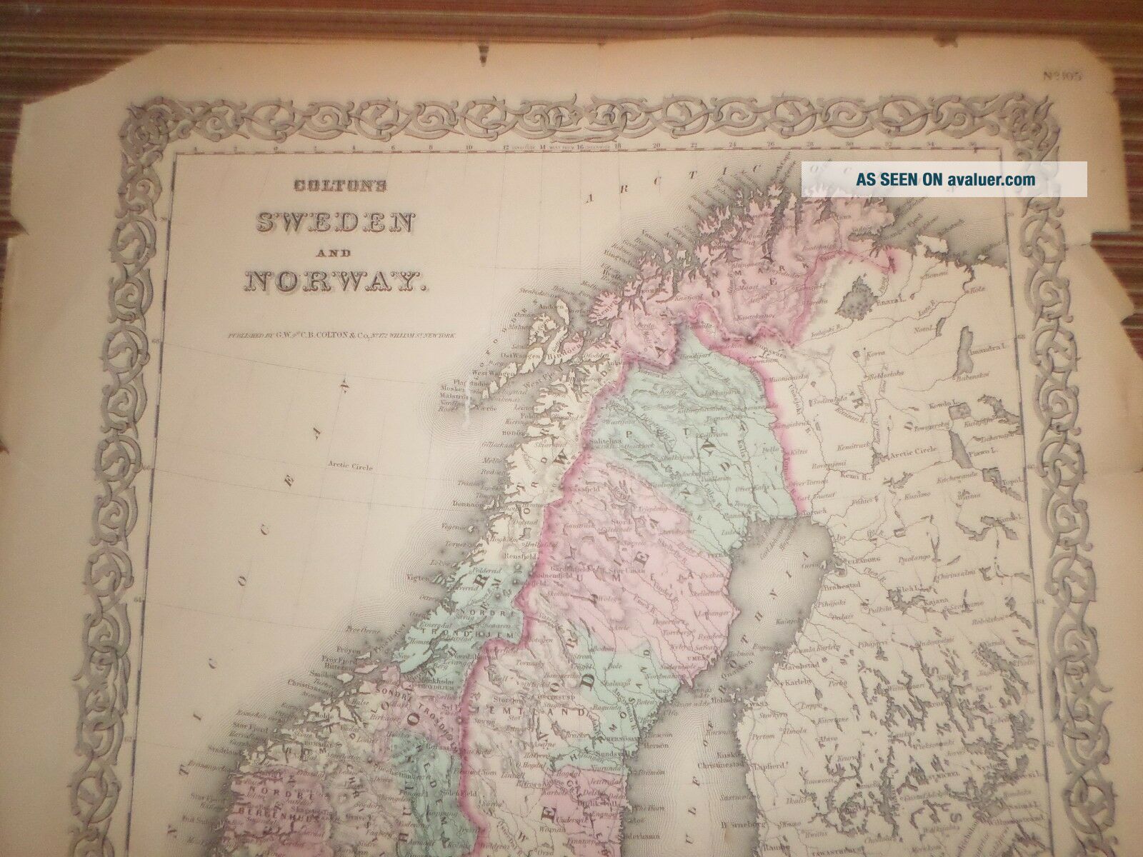
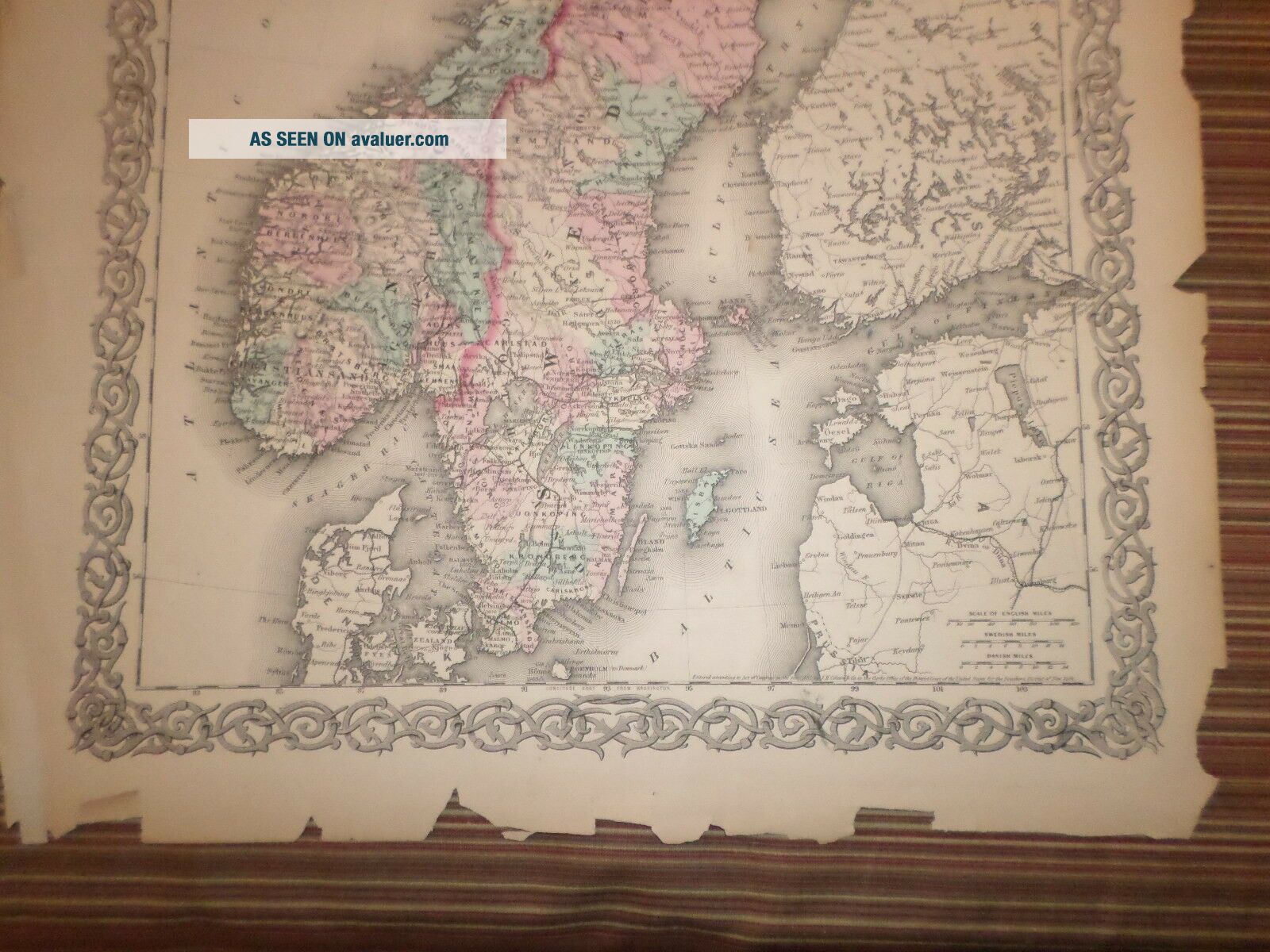
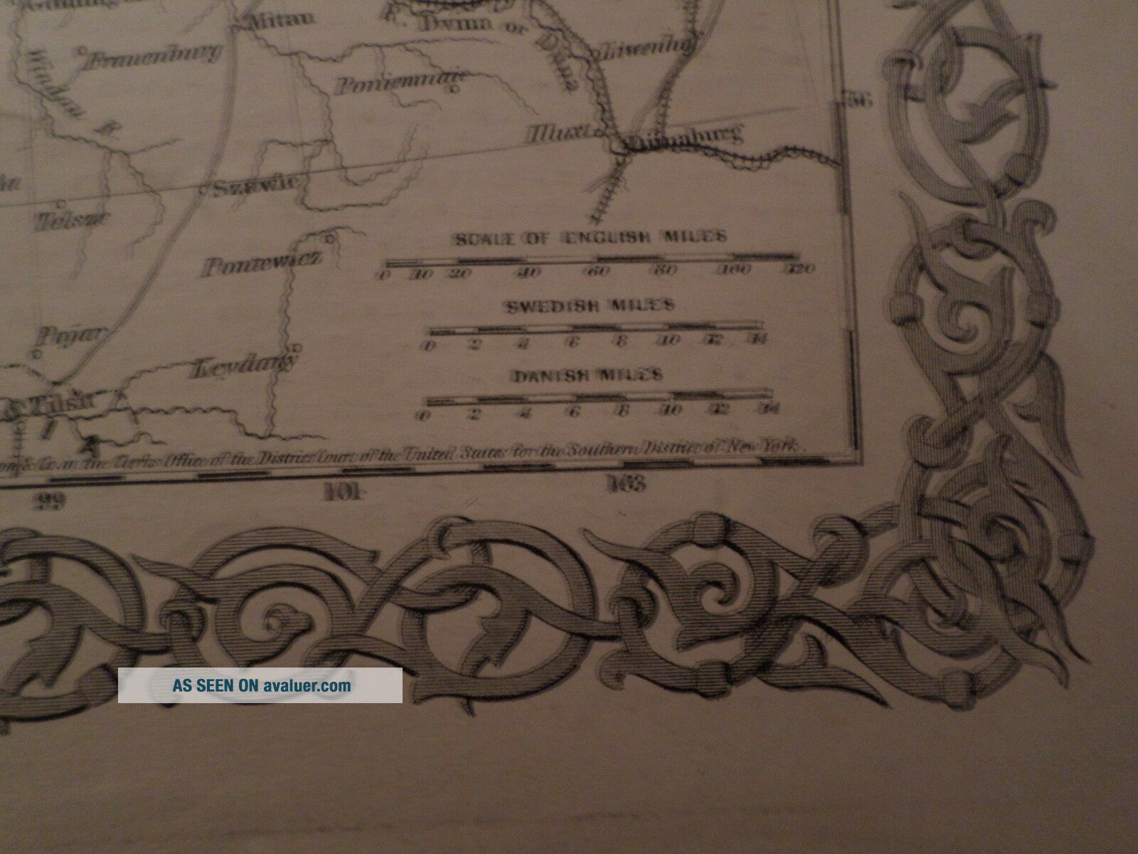
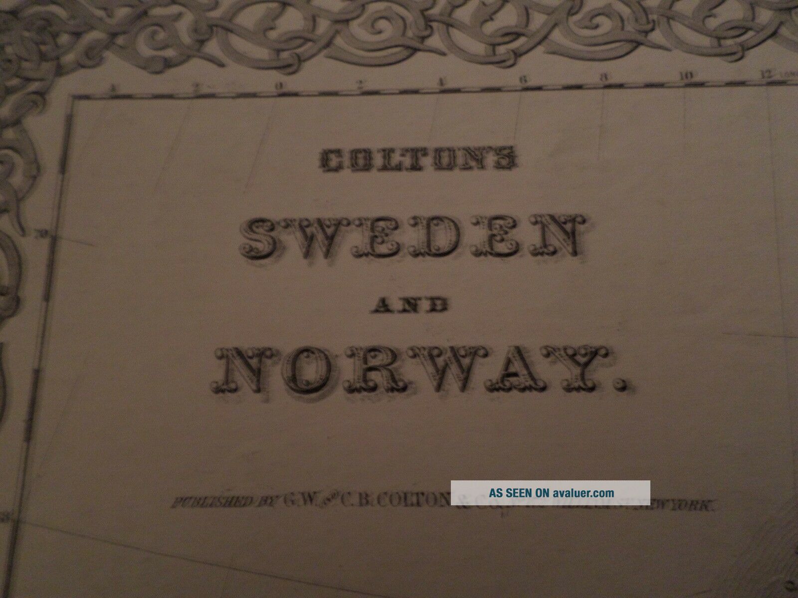
Hand Colored Map Sweden & Norway (1855) G. W. And C. B. Colton & Co. , York


Item History & Price

Information:
Reference Number: Avaluer:1242171
Original Description:
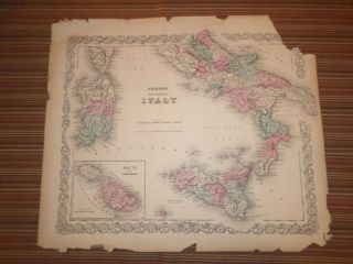
Up for sale is a nice hand colored map published by C. B. Colton & Co. A colored map this is a one page map measuring approximately 15 by 17inches.  Published 1855.
Overall map is in fair condition.  Some light browning around the edges. Several small tears along all edges. One 1 inch tear slightly extending into the map on the right border, and one 1 inch tear slightly extending into the map from the top border. The corners are slightly torn and folded. Most rips and ...tears on this map do not extend beyond the boarder area into the map. Other chipping at edges, small dings and nicks here and there mostly impacting boarder area.
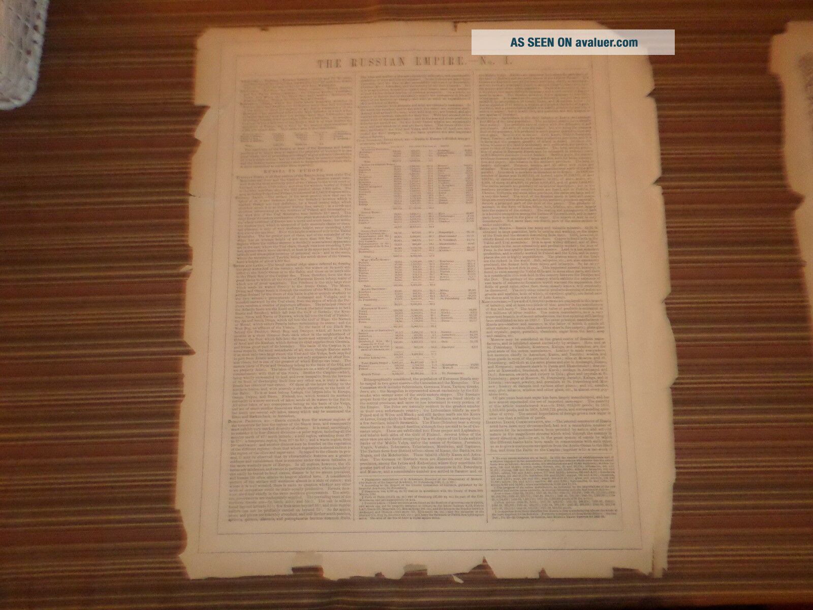
The back of this map contains writing about the Russian Empire - No. 1.  
Map will look great framed.
Please email with questions and see my store for other great items.

E-18

00470


    Similar items


  • Hand Colored Map Of Italy (1855) G.  W.  And C.  B.  Colton & Co. ,  York

    Hand Colored Map Of Italy (1855) G. W. And C. B. Colton & Co. , York

  • Hand - Colored Map Of Germany,  Switzerland (1855) - " Mitchell

    Hand - Colored Map Of Germany, Switzerland (1855) - " Mitchell ' S School Atlas "

  • 1855 Hand Colored Map Of North America From J.  H.  Colton

    1855 Hand Colored Map Of North America From J. H. Colton ' S 1857 General Atlas

  • Three City Maps Hand - Colored Magnus Letterhead C.  1855

    Three City Maps Hand - Colored Magnus Letterhead C. 1855

  • 1870 Glocester,  Rhode Island,  Hand - Colored Map,  D.  G Beers Co.

    1870 Glocester, Rhode Island, Hand - Colored Map, D. G Beers Co.

  • Antique 1870 D.  G.  Beers Atlas Hand Colored Map Newport Rhode Island

    Antique 1870 D. G. Beers Atlas Hand Colored Map Newport Rhode Island

  • Antique 1870 D.  G.  Beers Atlas Hand Colored Map West Warwick Ri Villages

    Antique 1870 D. G. Beers Atlas Hand Colored Map West Warwick Ri Villages

  • Antique 1870 D.  G.  Beers Atlas Hand Colored Map Exeter Ri Villages

    Antique 1870 D. G. Beers Atlas Hand Colored Map Exeter Ri Villages


    • You might also like


    • 1860 Mitchell Hand Colored Map Colorado,  Nebraska & Kansas - Civil War Era

      1860 Mitchell Hand Colored Map Colorado, Nebraska & Kansas - Civil War Era

    • 18th Century French Map Of North America

      18th Century French Map Of North America

    • Las Vegas Nevada Vintage 1967 Us Geological Survey Quadrangle Map 4 Panels

      Las Vegas Nevada Vintage 1967 Us Geological Survey Quadrangle Map 4 Panels

    • Rare Antique 1845 Maps United States Exploring Expedition Book Antartica Hawaii

      Rare Antique 1845 Maps United States Exploring Expedition Book Antartica Hawaii

    • Vintage 1926 Map Hollywood From The Best Surveys Of The Time

      Vintage 1926 Map Hollywood From The Best Surveys Of The Time

    • American Continent (western Hemisphere) 1747 Bowen Antique Copper Engraved Map

      American Continent (western Hemisphere) 1747 Bowen Antique Copper Engraved Map

    • Gulf Coast Florida Texas United States 1705 De Fer Unusual Antique Engraved Map

      Gulf Coast Florida Texas United States 1705 De Fer Unusual Antique Engraved Map

    • California As Island United States 1700 De Fer Unusual First Edition Antique Map

      California As Island United States 1700 De Fer Unusual First Edition Antique Map

Avaluer          About Us          Privacy Policy          Contact Us          UP
© 2022, avaluer.net, Inc. or its affiliates