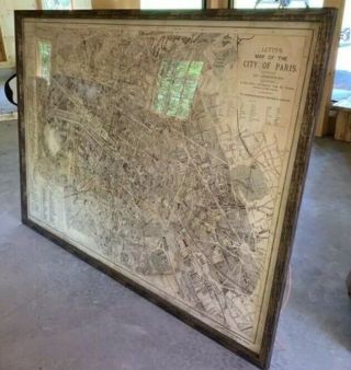
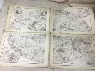
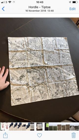
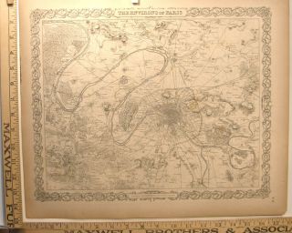
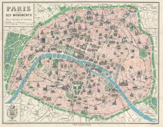
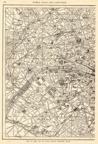
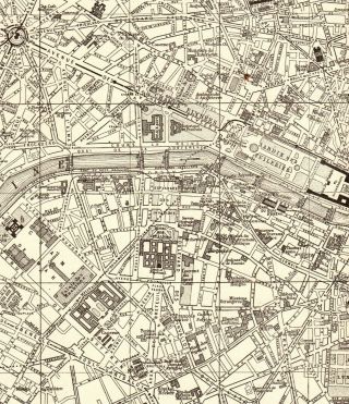
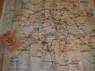
Antique Map Of Paris France 1894 With Index De Le ' Tranger


Item History & Price

Information:
Reference Number: Avaluer:1242365Format: hardback
City: ParisYear: 1894
Original Description:


In used but in good with some small holes to folds, size 31 x 21 inches
Track Page Views With
Auctiva's FREE Counter


    Similar items


  • Restoration Hardware Large Framed Antique Map Of Paris France 5x7

    Restoration Hardware Large Framed Antique Map Of Paris France 5x7

  • Antique Map Of Paris France Versailles City Plan 19th Century Rare Large Maps

    Antique Map Of Paris France Versailles City Plan 19th Century Rare Large Maps

  • Cloth Map Of Paris France - Hankerchief - 1834

    Cloth Map Of Paris France - Hankerchief - 1834

  • Antique 1859 Steel Engraving Map Of Paris France Colton

    Antique 1859 Steel Engraving Map Of Paris France Colton ' S General Atlas

  • 1925 Borremans Pictorial Map Of Paris,  France W/ Monuments

    1925 Borremans Pictorial Map Of Paris, France W/ Monuments

  • 1928 Antique Paris Map Vintage City Map Of Paris France Gallery Wall Art 6391

    1928 Antique Paris Map Vintage City Map Of Paris France Gallery Wall Art 6391

  • 1917 Antique Paris Street Map City Map Of Paris France Gallery Wall Art 7134

    1917 Antique Paris Street Map City Map Of Paris France Gallery Wall Art 7134

  • 1951 Folding Map Of Paris France 37 " X 29 "

    1951 Folding Map Of Paris France 37 " X 29 "


    • You might also like


    • Hungary & Romania 1579 (1584) Ortelius Unusual Antique Copper Engraved Map

      Hungary & Romania 1579 (1584) Ortelius Unusual Antique Copper Engraved Map

    • Brussels Bruxelles Belfium 1777 De Ferraris & Dupuis Large Antique Map Sheet Xxi

      Brussels Bruxelles Belfium 1777 De Ferraris & Dupuis Large Antique Map Sheet Xxi

    • 1616 Atlas Map Of Iceland.

      1616 Atlas Map Of Iceland.

    • Kazan Russia 1767 Le Clerc/lespinasse Antique Copper Engraved City View

      Kazan Russia 1767 Le Clerc/lespinasse Antique Copper Engraved City View

    • 1899 Stanford,  Folding Map Of Norwich,  Norfolk,  Arthur Collins,  Jarrold & Sons,

      1899 Stanford, Folding Map Of Norwich, Norfolk, Arthur Collins, Jarrold & Sons,

    • 1948 Vintage Linen Colour Map Geological Survey Ten Mile Of Great Britain

      1948 Vintage Linen Colour Map Geological Survey Ten Mile Of Great Britain

    • 1944 Map Flying Bombs Sussex Ww2 Newspaper Military Kent Courier German V1 V2

      1944 Map Flying Bombs Sussex Ww2 Newspaper Military Kent Courier German V1 V2

    • Dated 1638 Vellum Map Of Icklesham Sussex Showing Land Uses Owners Etc

      Dated 1638 Vellum Map Of Icklesham Sussex Showing Land Uses Owners Etc

Avaluer          About Us          Privacy Policy          Contact Us          UP
© 2022, avaluer.net, Inc. or its affiliates