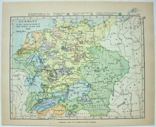
Map Of Germany: Industries & Communication By George Philip & Son C1906


Item History & Price

Information:
Reference Number: Avaluer:1244975Maker: G. Philip & Son
Original Reproduction Reprint: OriginalOriginal/Reproduction: Original
Topic: GermanyCountry/Region: Germany
Publication Year: 1906Region: Germany
Printing Technique: LithographyYear: 1906
Era: 1900s
Original Description:
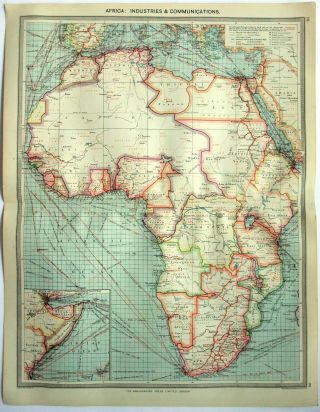
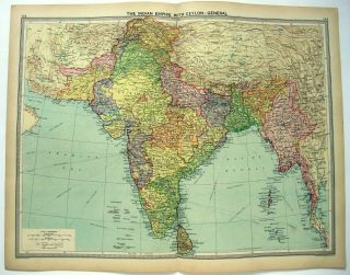
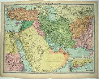
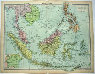
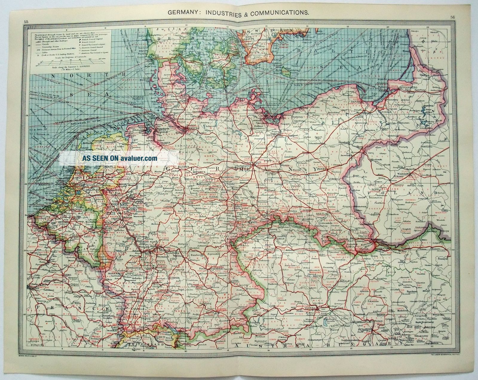
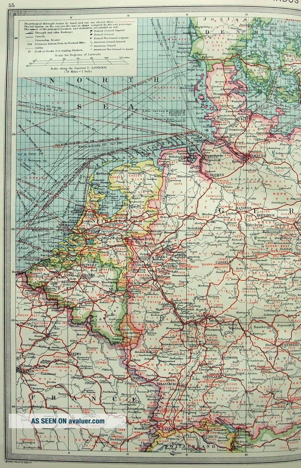
Original Map of Germany: Industries & Communication by George Philip & Son c1906. Shows cities, locally produced products, telegraph cables, railroads, canals, steamship lines with travel distances, coaling stations plus British and American Consuls. This attractive vintage chromolithograph measures 20" by 15.25" (50 by 39 cm). Will look great matted and framed.

Free Shipping to anywhere in the US.

Your order will always ship within ONE BUSINESS DAY, well packag...ed in a sturdy waterproof mailer and sent with a delivery confirmation.

I ship worldwide.


    Similar items


  • Map Of Africa: Industries & Communication C1907 By G Philip & Son

    Map Of Africa: Industries & Communication C1907 By G Philip & Son

  • 1926 Map Of The Indian Empire By George Philip.  Ceylon Burma.  Vintage

    1926 Map Of The Indian Empire By George Philip. Ceylon Burma. Vintage

  • Large 1926 Map Of The Middle East By George Philip & Son.  Vintage

    Large 1926 Map Of The Middle East By George Philip & Son. Vintage

  • 1926 Map Of East India Islands By George Philip & Son.  Vintage

    1926 Map Of East India Islands By George Philip & Son. Vintage

  • 1926 Map Of Hungary Yugoslavia & Albania By George Philip.  Vintage

    1926 Map Of Hungary Yugoslavia & Albania By George Philip. Vintage

  • 1926 Map Of Sw Asia I By George Philip.  Turkey Palestine Cyprus Vintage

    1926 Map Of Sw Asia I By George Philip. Turkey Palestine Cyprus Vintage

  • 1882 Map Of Queens County,  Ireland By George Philip.  Antique

    1882 Map Of Queens County, Ireland By George Philip. Antique

  • Vintage Map Of Germany In 1618 By Longmans Green 1905

    Vintage Map Of Germany In 1618 By Longmans Green 1905


    • You might also like


    • Hungary & Romania 1579 (1584) Ortelius Unusual Antique Copper Engraved Map

      Hungary & Romania 1579 (1584) Ortelius Unusual Antique Copper Engraved Map

    • Brussels Bruxelles Belfium 1777 De Ferraris & Dupuis Large Antique Map Sheet Xxi

      Brussels Bruxelles Belfium 1777 De Ferraris & Dupuis Large Antique Map Sheet Xxi

    • 1616 Atlas Map Of Iceland.

      1616 Atlas Map Of Iceland.

    • Kazan Russia 1767 Le Clerc/lespinasse Antique Copper Engraved City View

      Kazan Russia 1767 Le Clerc/lespinasse Antique Copper Engraved City View

    • 1899 Stanford,  Folding Map Of Norwich,  Norfolk,  Arthur Collins,  Jarrold & Sons,

      1899 Stanford, Folding Map Of Norwich, Norfolk, Arthur Collins, Jarrold & Sons,

    • 1948 Vintage Linen Colour Map Geological Survey Ten Mile Of Great Britain

      1948 Vintage Linen Colour Map Geological Survey Ten Mile Of Great Britain

    • 1944 Map Flying Bombs Sussex Ww2 Newspaper Military Kent Courier German V1 V2

      1944 Map Flying Bombs Sussex Ww2 Newspaper Military Kent Courier German V1 V2

    • Dated 1638 Vellum Map Of Icklesham Sussex Showing Land Uses Owners Etc

      Dated 1638 Vellum Map Of Icklesham Sussex Showing Land Uses Owners Etc

Avaluer          About Us          Privacy Policy          Contact Us          UP
© 2022, avaluer.net, Inc. or its affiliates