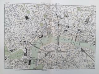
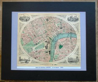
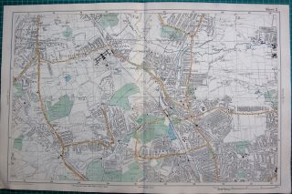
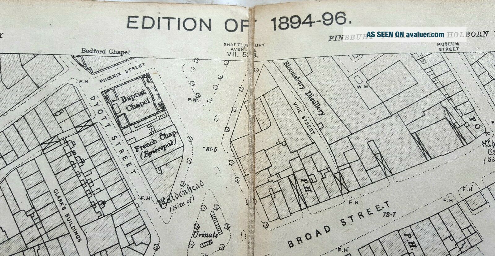
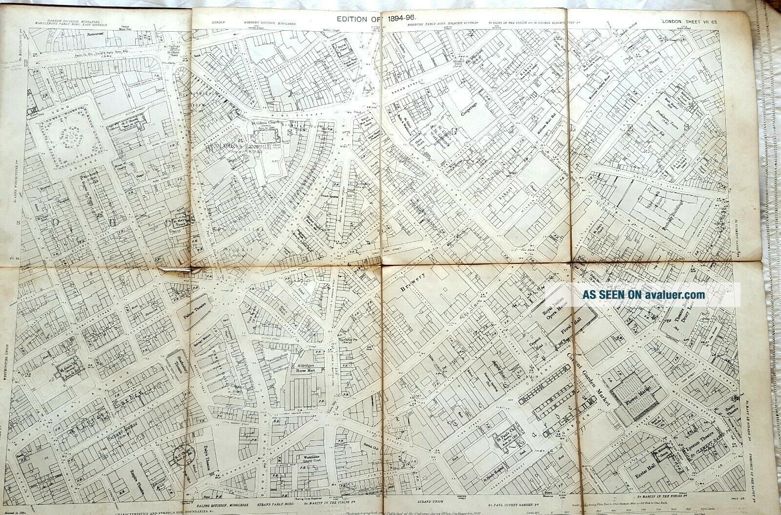
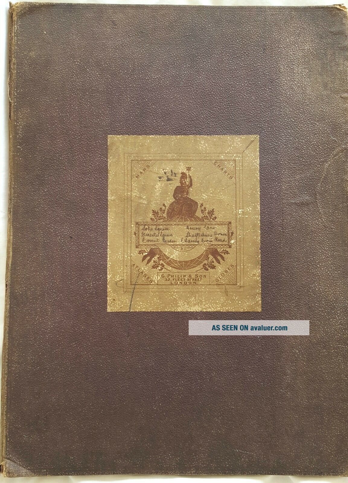
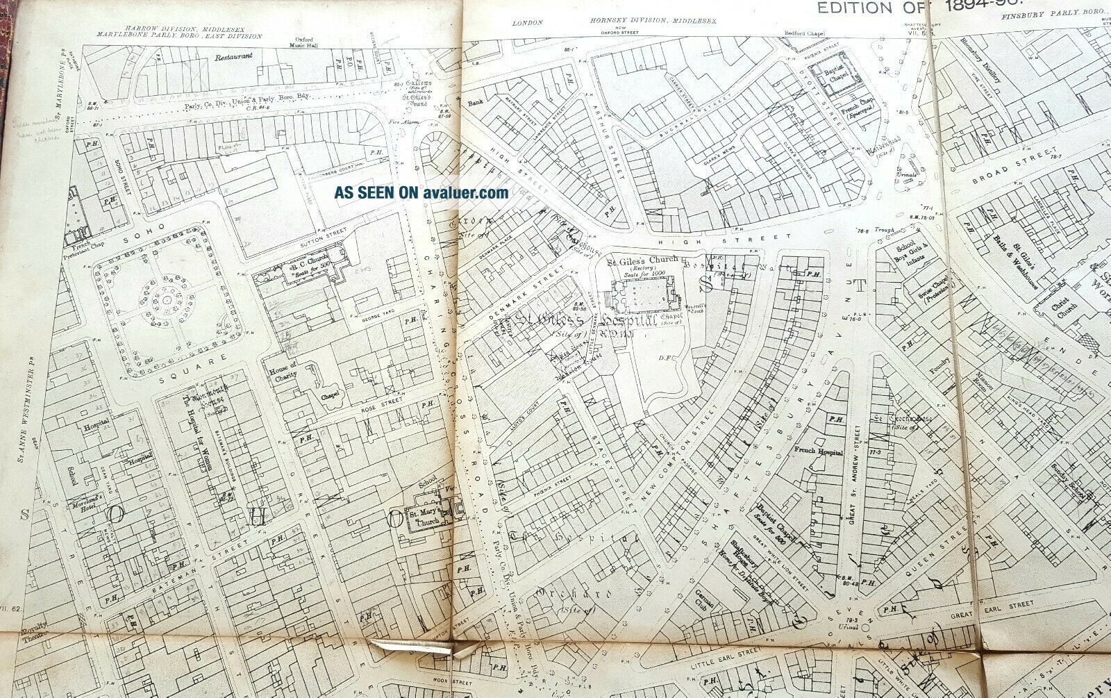
Antique 1894 Large Map Central London - Ordnace Survey - 70x100cm - Bound

Item History & Price
| Reference Number: Avaluer:12461 | Year: 1894 |
Antique 1894 Large Map Central London - Ordnace Survey - 70x100cm - Bound.
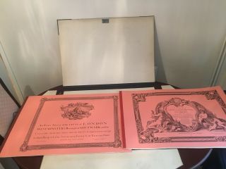
Leather and board cover
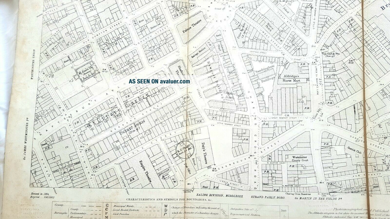
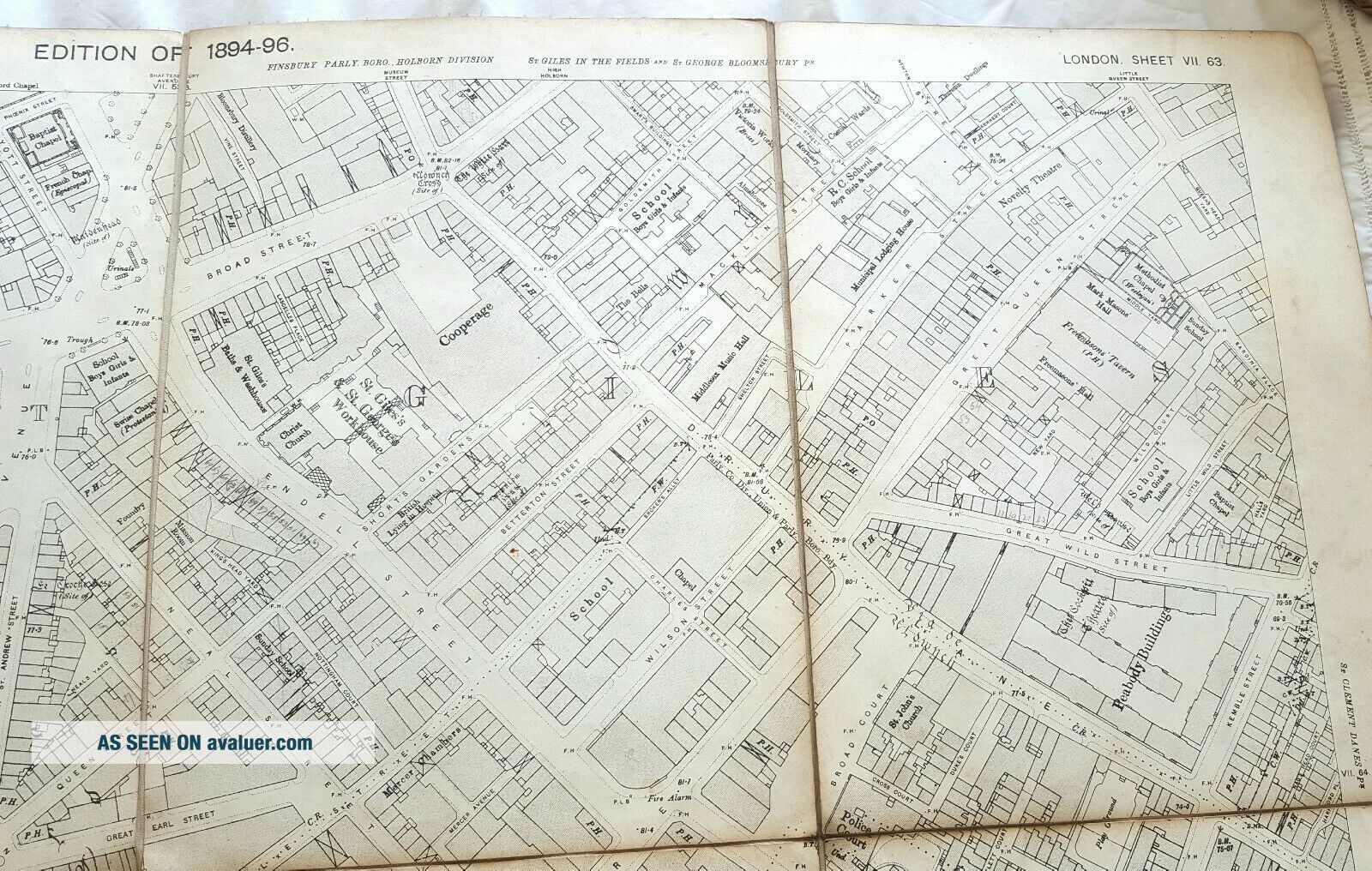
Includes Soho, Covent Garden and Holborn.
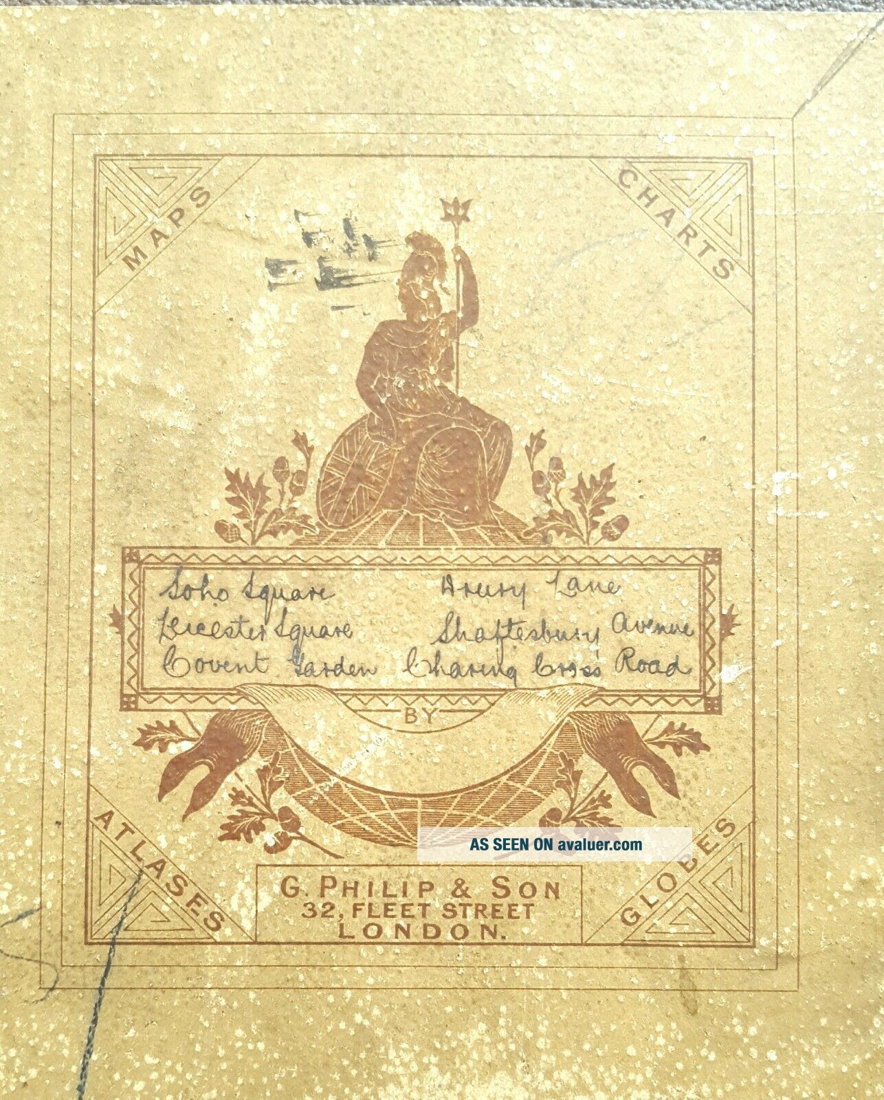
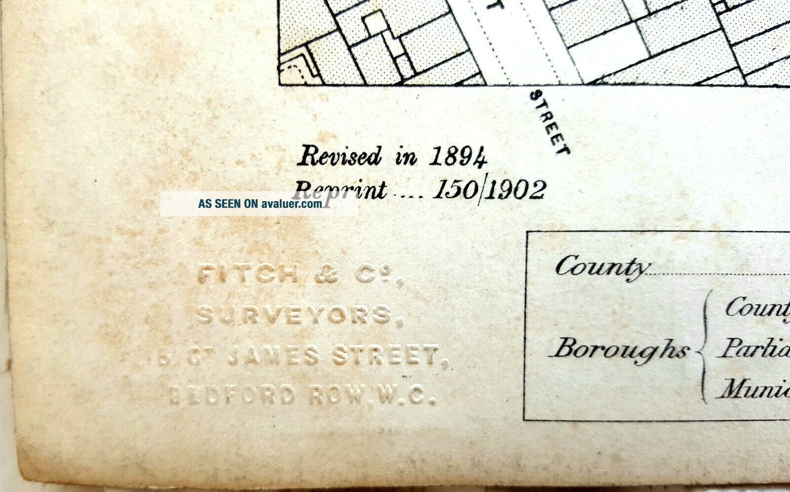
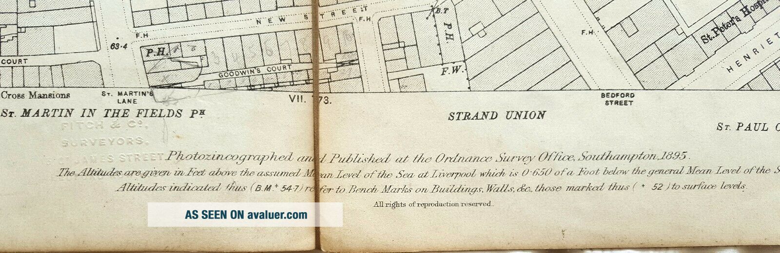
Printed by Fitch and Co of London.
Good overall condition of map
The map is 35x25cm when folded.
Please contact with any queries
Leather and board cover
Includes Soho, Covent Garden and Holborn.
Printed by Fitch and Co of London.
Good overall condition of map
The map is 35x25cm when folded.
Please contact with any queries