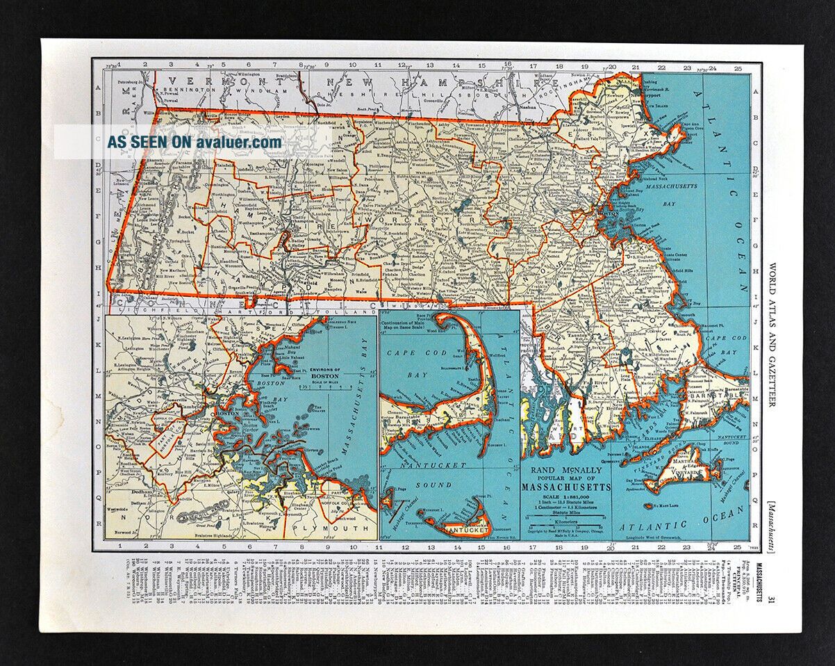
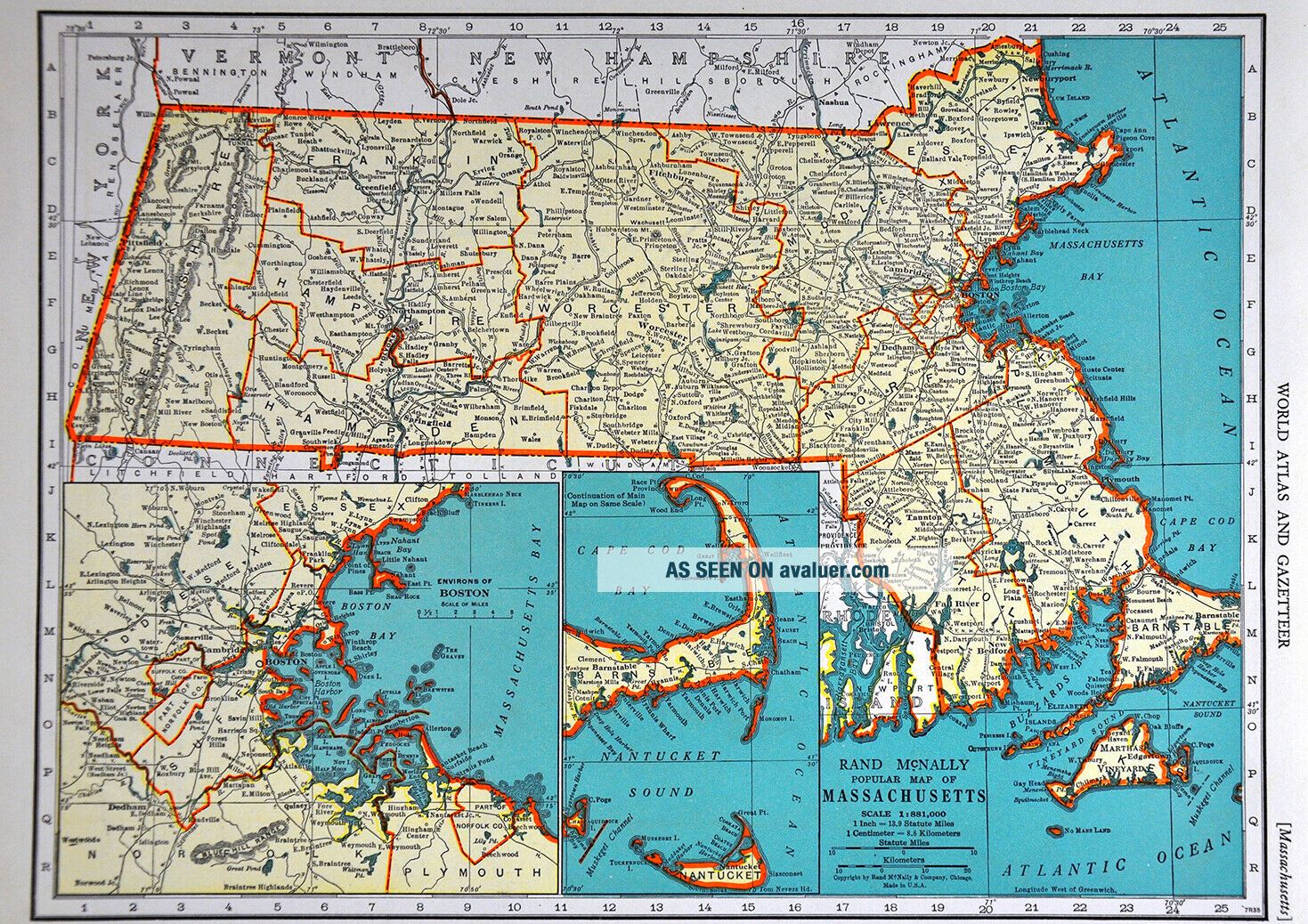
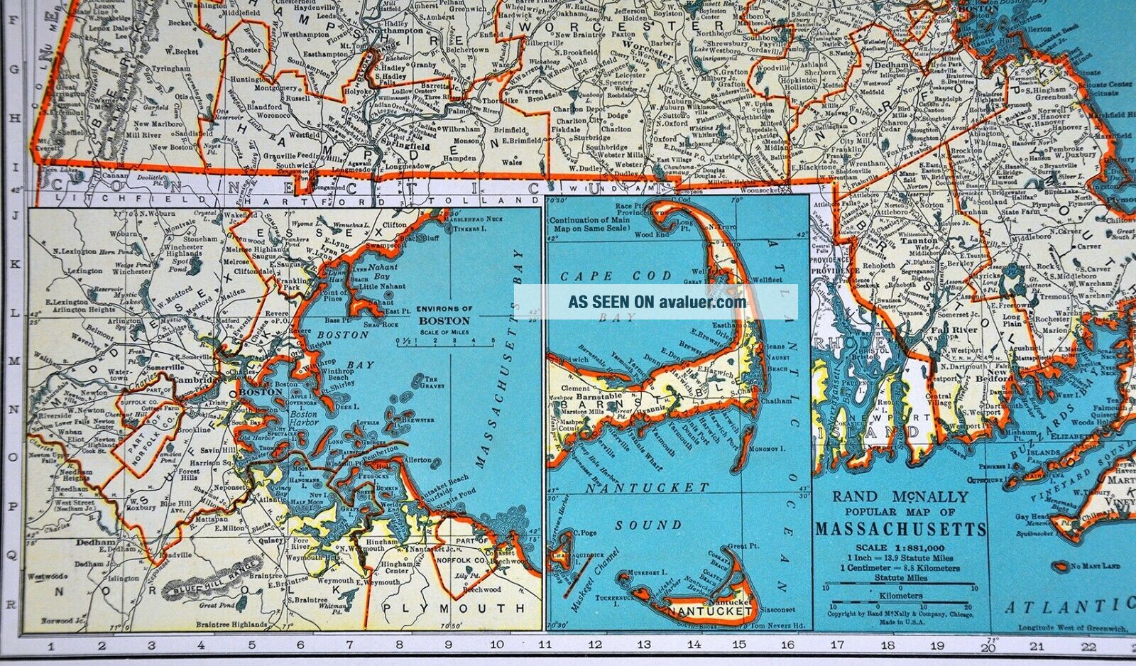
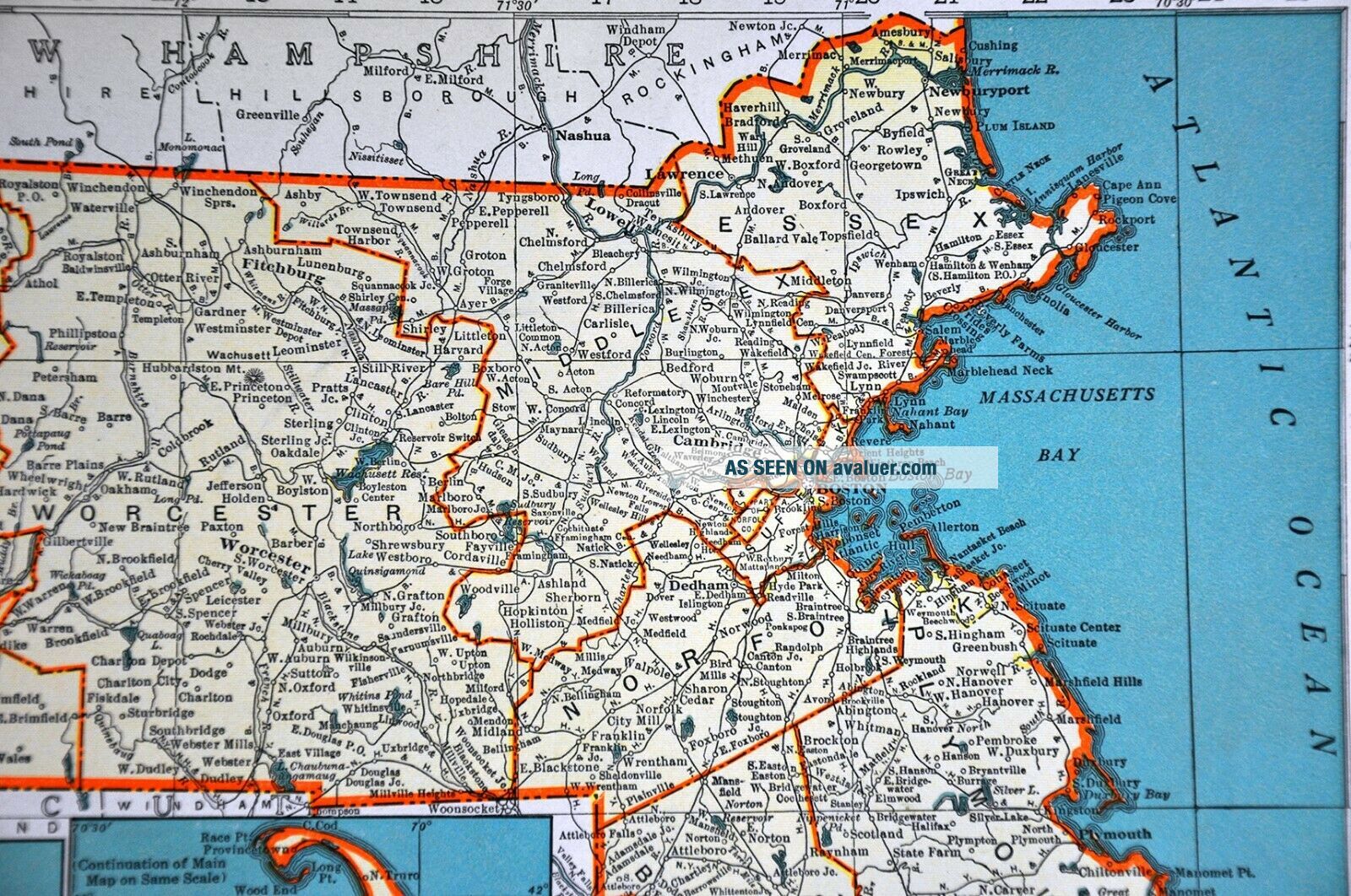
1938 McNally Map Massachusetts & Rhode Island Boston Providence Salem Cape Cod
Item History & Price

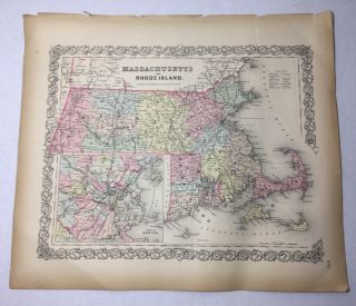
Antique 1855 Massachusetts Rhode Island Boston Map Hand - Colored Colton ' S Atlas
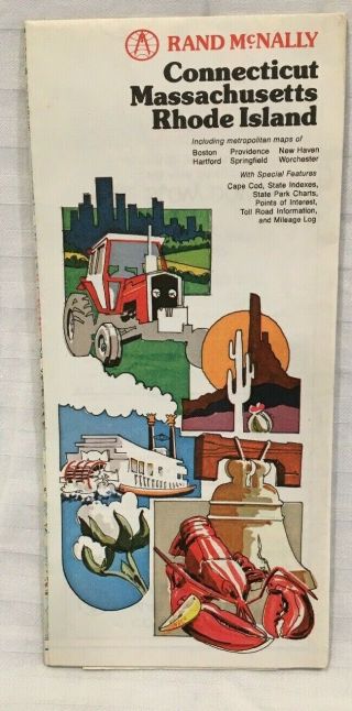
Vintage Rand Mcnally Connecticut Massachusetts Rhode Island
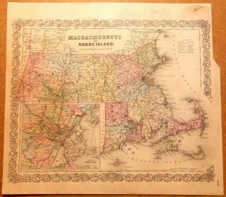
1856 Map Massachusetts & Rhode Island Colton ' S Atlas
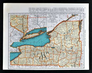
1938 Mcnally Map York Long Island Albany Buffalo Syracuse Rochester Nyc
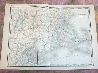
Antique 1890 Map, Massachusetts & Rhode Island, Vintage Atlas, Railroad
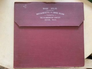
Maps Massachusetts Rhode Island Atlas 1905 Scarborough Company Cape Cod
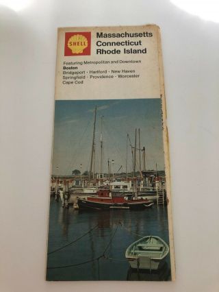
Vintage Shell Gasoline Road Map - Massachusetts, Rhode Island, Connecticut
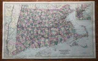
1875 Color Map Massachusetts, Rhode Island, Connecticut, Railroads, Narrow Gauge

1860 Mitchell Hand Colored Map Colorado, Nebraska & Kansas - Civil War Era

18th Century French Map Of North America

Las Vegas Nevada Vintage 1967 Us Geological Survey Quadrangle Map 4 Panels

Rare Antique 1845 Maps United States Exploring Expedition Book Antartica Hawaii

Vintage 1926 Map Hollywood From The Best Surveys Of The Time

American Continent (western Hemisphere) 1747 Bowen Antique Copper Engraved Map

Gulf Coast Florida Texas United States 1705 De Fer Unusual Antique Engraved Map

California As Island United States 1700 De Fer Unusual First Edition Antique Map