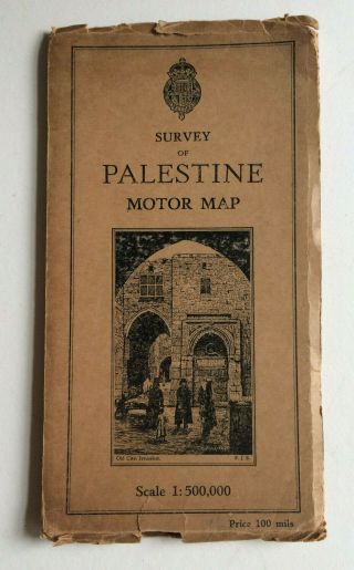
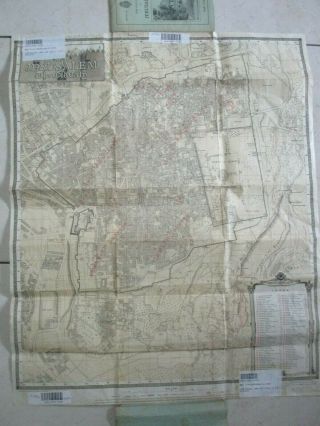
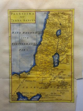
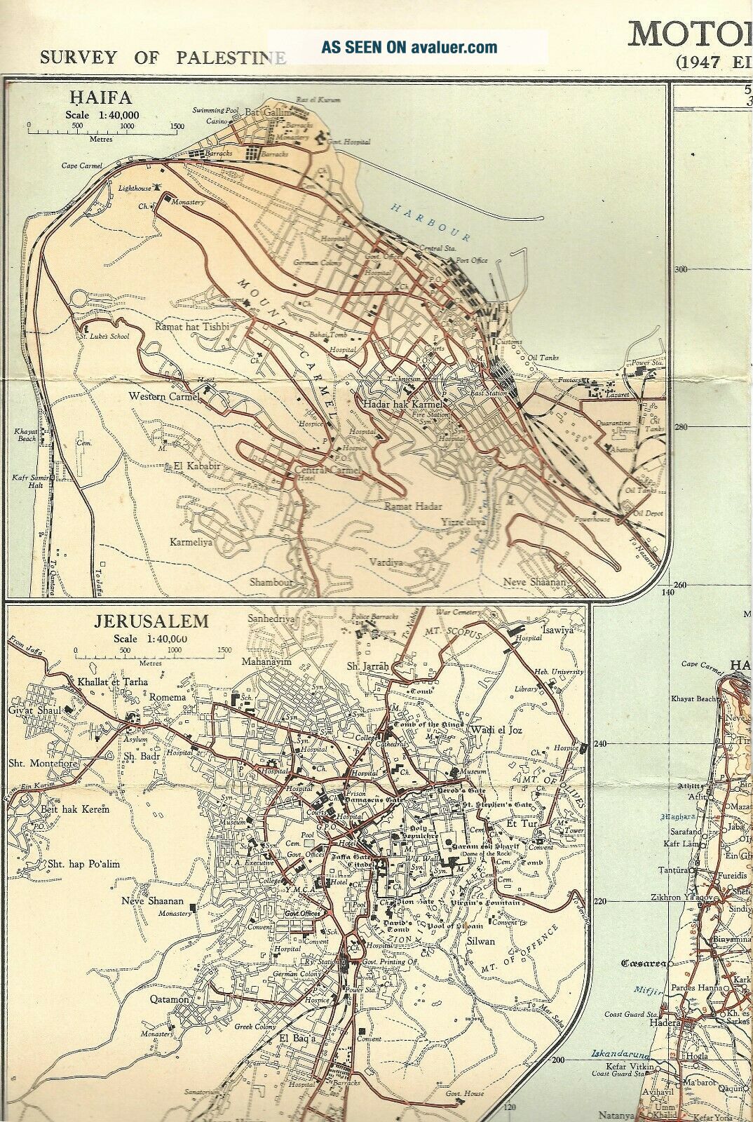
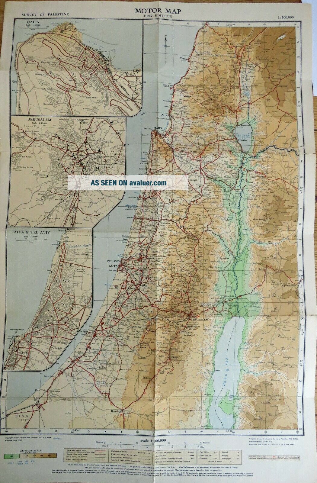
Survey Of Palestine Motor Map 1947 Bought By Squaddie 1947.


Item History & Price

Information:
Reference Number: Avaluer:1246322Year: 1947
Type: Road MapCounty: Palestine
Date Range: 1940sEra: 1940s
Country/Region: Palestine
Original Description:
Survey of Palestine Motor Map 1947 bought by Squaddie 1947 Very Good Condition.. Dispatched with Royal Mail 2nd Class Large Letter.


    Similar items


  • Vintage Survey Of Palestine Motor Map

    Vintage Survey Of Palestine Motor Map

  • Tt.  1959 Survey Of Cyprus Motor Map - Seventh Edition

    Tt. 1959 Survey Of Cyprus Motor Map - Seventh Edition

  • Vintage Guide Map Of Jerusalem 1947 Bought By Squaddie

    Vintage Guide Map Of Jerusalem 1947 Bought By Squaddie

  • Tel Aviv,  Palestine,  An Old Map,  1944,  Survey Of Palestine,  77 X 64 Cm,  1:10000

    Tel Aviv, Palestine, An Old Map, 1944, Survey Of Palestine, 77 X 64 Cm, 1:10000

  • The Old City Of Jerusalem,  1:2500 Scale,  English Text,  Survey Of Palestine,  1945

    The Old City Of Jerusalem, 1:2500 Scale, English Text, Survey Of Palestine, 1945

  • 1874 Map Of Hancock County By Winchell Antique Lith.  Geological Survey Of Ohio

    1874 Map Of Hancock County By Winchell Antique Lith. Geological Survey Of Ohio

  • Antique Plan & Survey Of Egham Race Course In Surrey By William Kemp 1824

    Antique Plan & Survey Of Egham Race Course In Surrey By William Kemp 1824

  • Antique Map Of Palestine And The Holy Land By Christoph Cellarius 1764

    Antique Map Of Palestine And The Holy Land By Christoph Cellarius 1764


    • You might also like


    • Hungary & Romania 1579 (1584) Ortelius Unusual Antique Copper Engraved Map

      Hungary & Romania 1579 (1584) Ortelius Unusual Antique Copper Engraved Map

    • Brussels Bruxelles Belfium 1777 De Ferraris & Dupuis Large Antique Map Sheet Xxi

      Brussels Bruxelles Belfium 1777 De Ferraris & Dupuis Large Antique Map Sheet Xxi

    • 1616 Atlas Map Of Iceland.

      1616 Atlas Map Of Iceland.

    • Kazan Russia 1767 Le Clerc/lespinasse Antique Copper Engraved City View

      Kazan Russia 1767 Le Clerc/lespinasse Antique Copper Engraved City View

    • 1899 Stanford,  Folding Map Of Norwich,  Norfolk,  Arthur Collins,  Jarrold & Sons,

      1899 Stanford, Folding Map Of Norwich, Norfolk, Arthur Collins, Jarrold & Sons,

    • 1948 Vintage Linen Colour Map Geological Survey Ten Mile Of Great Britain

      1948 Vintage Linen Colour Map Geological Survey Ten Mile Of Great Britain

    • 1944 Map Flying Bombs Sussex Ww2 Newspaper Military Kent Courier German V1 V2

      1944 Map Flying Bombs Sussex Ww2 Newspaper Military Kent Courier German V1 V2

    • Dated 1638 Vellum Map Of Icklesham Sussex Showing Land Uses Owners Etc

      Dated 1638 Vellum Map Of Icklesham Sussex Showing Land Uses Owners Etc

Avaluer          About Us          Privacy Policy          Contact Us          UP
© 2022, avaluer.net, Inc. or its affiliates