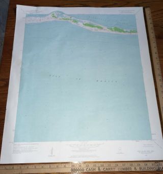
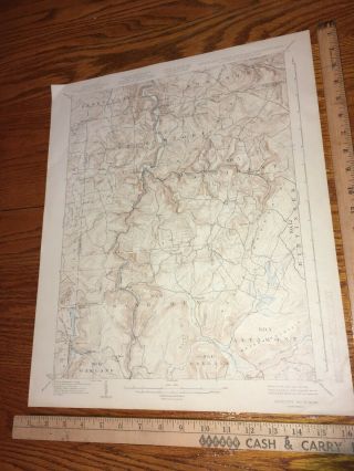
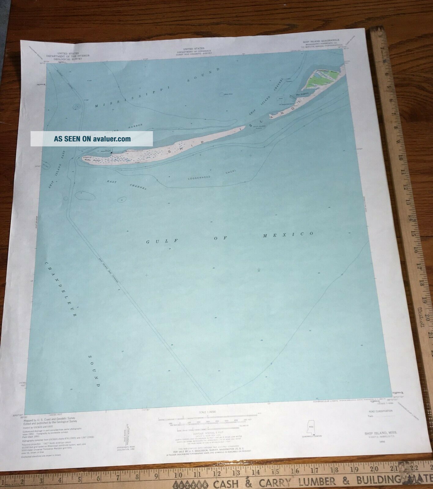
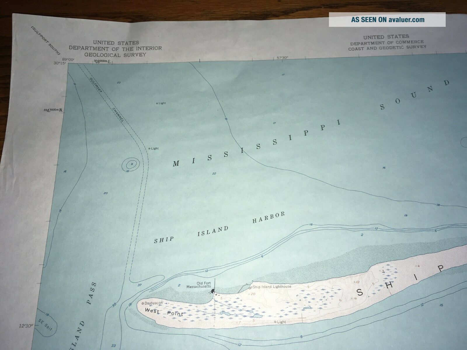
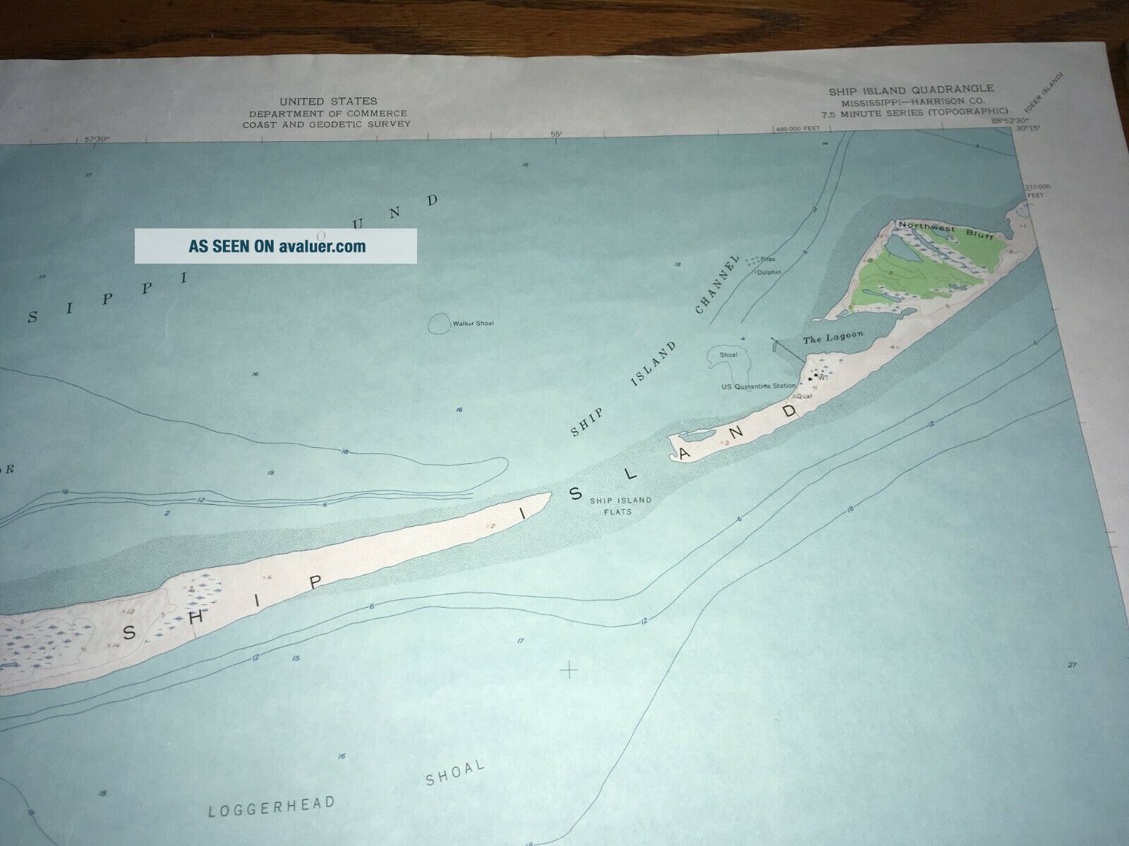
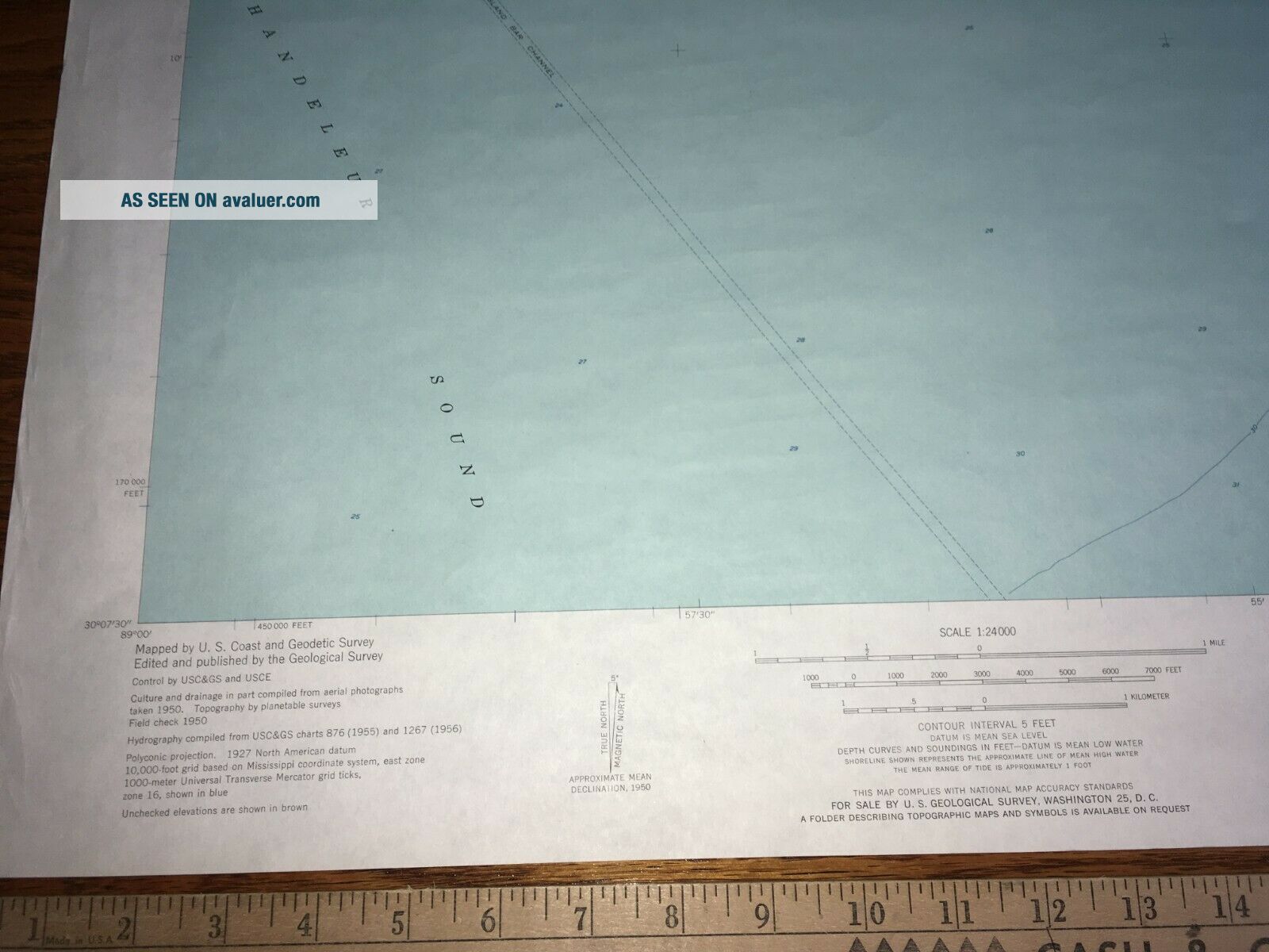
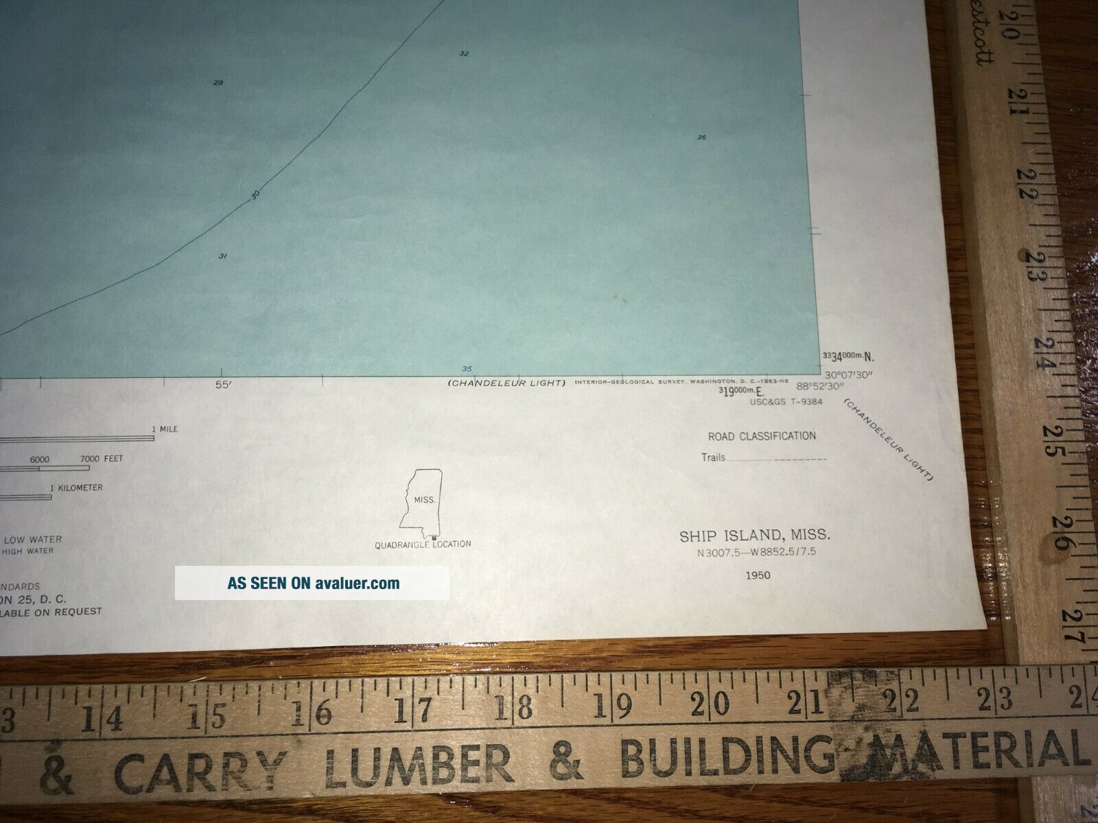
Ship Island MS 1950 USGS Topographical Geological Quadrangle Topo Map


Item History & Price

Information:
Reference Number: Avaluer:1246725Type: Geological Map
US State: MississippiYear: 1950
Original Description:
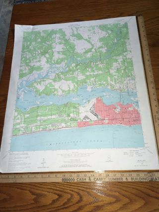
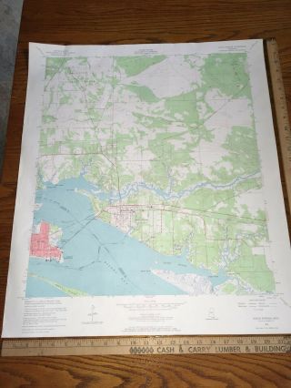
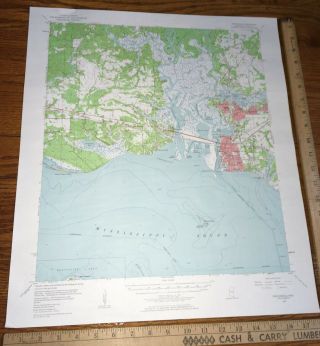
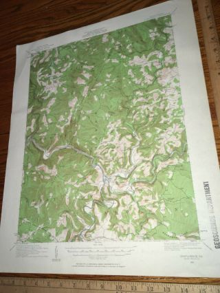
Ocean Springs MS 1954 USGS Topographical Geological Quadrangle Topo Map 22"x27". The year 1954 is the latest date I see on this map.Has some corner wear. Map may have some edge wear from normal handling. I always try to note any excessive damage in my descriptions and photos.  Please see pictures or send a message for more item specifics!Shipping: U.S. Buyers Pay USPS Priority Mail Shipping with tracking as required by eBay. Map has been stored f...lat but will be rolled for shipping purposes. Shipping can be combined on all map purchases!!oldsol


    Similar items


  • Horn Island West Ms 1960 Usgs Topographical Geological Quadrangle Topo Map

    Horn Island West Ms 1960 Usgs Topographical Geological Quadrangle Topo Map

  • Biloxi Ms 1954 Usgs Topographical Geological Quadrangle Topo Map

    Biloxi Ms 1954 Usgs Topographical Geological Quadrangle Topo Map

  • Ocean Springs Ms 1954 Usgs Topographical Geological Quadrangle Topo Map

    Ocean Springs Ms 1954 Usgs Topographical Geological Quadrangle Topo Map

  • Pascagoula Ms 1955 Usgs Topographical Geological Quadrangle Topo Map

    Pascagoula Ms 1955 Usgs Topographical Geological Quadrangle Topo Map

  • Accident Md Wv Pa 1943 Usgs Topographical Geological Quadrangle Topo Map

    Accident Md Wv Pa 1943 Usgs Topographical Geological Quadrangle Topo Map

  • Bruceton Mills Wv Pa 1931 Usgs Topographical Geological Quadrangle Topo Map

    Bruceton Mills Wv Pa 1931 Usgs Topographical Geological Quadrangle Topo Map

  • Confluence Pa 1931 Usgs Topographical Geological Quadrangle Topo Map

    Confluence Pa 1931 Usgs Topographical Geological Quadrangle Topo Map

  • Jenkins Ky 1957 Usgs Topographical Geological Quadrangle Map

    Jenkins Ky 1957 Usgs Topographical Geological Quadrangle Map


    • You might also like


    • 1860 Mitchell Hand Colored Map Colorado,  Nebraska & Kansas - Civil War Era

      1860 Mitchell Hand Colored Map Colorado, Nebraska & Kansas - Civil War Era

    • 18th Century French Map Of North America

      18th Century French Map Of North America

    • Las Vegas Nevada Vintage 1967 Us Geological Survey Quadrangle Map 4 Panels

      Las Vegas Nevada Vintage 1967 Us Geological Survey Quadrangle Map 4 Panels

    • Rare Antique 1845 Maps United States Exploring Expedition Book Antartica Hawaii

      Rare Antique 1845 Maps United States Exploring Expedition Book Antartica Hawaii

    • Vintage 1926 Map Hollywood From The Best Surveys Of The Time

      Vintage 1926 Map Hollywood From The Best Surveys Of The Time

    • American Continent (western Hemisphere) 1747 Bowen Antique Copper Engraved Map

      American Continent (western Hemisphere) 1747 Bowen Antique Copper Engraved Map

    • Gulf Coast Florida Texas United States 1705 De Fer Unusual Antique Engraved Map

      Gulf Coast Florida Texas United States 1705 De Fer Unusual Antique Engraved Map

    • California As Island United States 1700 De Fer Unusual First Edition Antique Map

      California As Island United States 1700 De Fer Unusual First Edition Antique Map

Avaluer          About Us          Privacy Policy          Contact Us          UP
© 2022, avaluer.net, Inc. or its affiliates