Vintage AA Road Atlas Of Great Britain. Water. Collector? Art Project?


Item History & Price

Information:
Reference Number: Avaluer:1246900Cartographer/Publisher: Automobile Association
Year: 1984Format: Atlas Map
Date Range: 1980-1989Type: Road Atlas
Country/Region: Great Britain
Original Description:
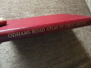
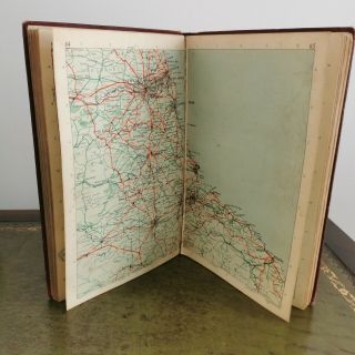
Vintage 1984 AA The Complete Atlas Of Great Britain. Hardback book. Measures 29 x 22cm and 3cm deep.Water damaged inside the opening pages and the same at the back ..the final brown pages are water damaged. Please see the photographs detailing this . The gold coloured lettering upon the front page has rubbed away in places and the lettering has nearly completely worn away upon the spine.  The book corners are bashed. The map pages themselves are in good conditi...on. Collector may be interested or the pages would be suitable for an art/design project maybe. 


    Similar items


  • Vintage Oldhams Road Atlas Of Great Britain H/b Book Fc56

    Vintage Oldhams Road Atlas Of Great Britain H/b Book Fc56

  • Vintage John Bartholomew 1963 Road Atlas Of Great Britain

    Vintage John Bartholomew 1963 Road Atlas Of Great Britain

  • Vintage Road Atlas Of Great Britain Leather 1967 Bartholomew Prop Boxed 20th Ed

    Vintage Road Atlas Of Great Britain Leather 1967 Bartholomew Prop Boxed 20th Ed

  • Vintage Book 3 Miles To 1 Inch Road Atlas Of Great Britain Hobbs Johnston

    Vintage Book 3 Miles To 1 Inch Road Atlas Of Great Britain Hobbs Johnston

  • Vintage Cloth Bound Edition Of Odhams Road Atlas Of Great Britain.  1953.  50s.

    Vintage Cloth Bound Edition Of Odhams Road Atlas Of Great Britain. 1953. 50s.

  • Vintage 1960

    Vintage 1960 ' S Bartholomew ' S Road Atlas Of Great Britain

  • Miniature Novelty Calendar & Road Atlas Of Great Britain 1943/44 Vgc

    Miniature Novelty Calendar & Road Atlas Of Great Britain 1943/44 Vgc

  • Bartholomew

    Bartholomew ' S Road Atlas Of Great Britain 1960 With Colorful Maps


    • You might also like


    • Hungary & Romania 1579 (1584) Ortelius Unusual Antique Copper Engraved Map

      Hungary & Romania 1579 (1584) Ortelius Unusual Antique Copper Engraved Map

    • Brussels Bruxelles Belfium 1777 De Ferraris & Dupuis Large Antique Map Sheet Xxi

      Brussels Bruxelles Belfium 1777 De Ferraris & Dupuis Large Antique Map Sheet Xxi

    • 1616 Atlas Map Of Iceland.

      1616 Atlas Map Of Iceland.

    • Kazan Russia 1767 Le Clerc/lespinasse Antique Copper Engraved City View

      Kazan Russia 1767 Le Clerc/lespinasse Antique Copper Engraved City View

    • 1899 Stanford,  Folding Map Of Norwich,  Norfolk,  Arthur Collins,  Jarrold & Sons,

      1899 Stanford, Folding Map Of Norwich, Norfolk, Arthur Collins, Jarrold & Sons,

    • 1948 Vintage Linen Colour Map Geological Survey Ten Mile Of Great Britain

      1948 Vintage Linen Colour Map Geological Survey Ten Mile Of Great Britain

    • 1944 Map Flying Bombs Sussex Ww2 Newspaper Military Kent Courier German V1 V2

      1944 Map Flying Bombs Sussex Ww2 Newspaper Military Kent Courier German V1 V2

    • Dated 1638 Vellum Map Of Icklesham Sussex Showing Land Uses Owners Etc

      Dated 1638 Vellum Map Of Icklesham Sussex Showing Land Uses Owners Etc

Avaluer          About Us          Privacy Policy          Contact Us          UP
© 2022, avaluer.net, Inc. or its affiliates