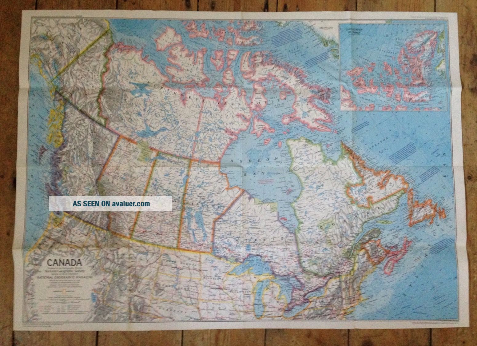
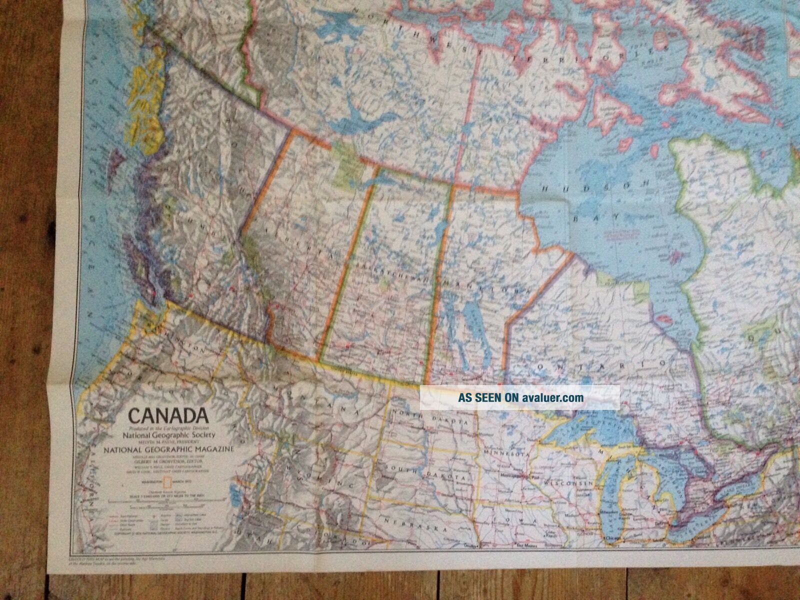
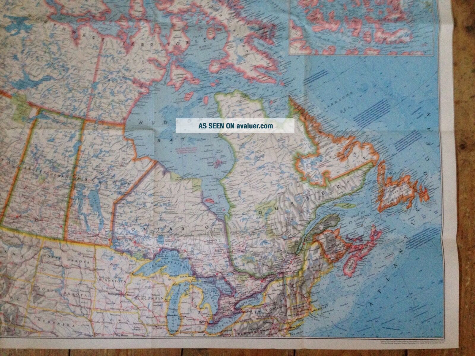
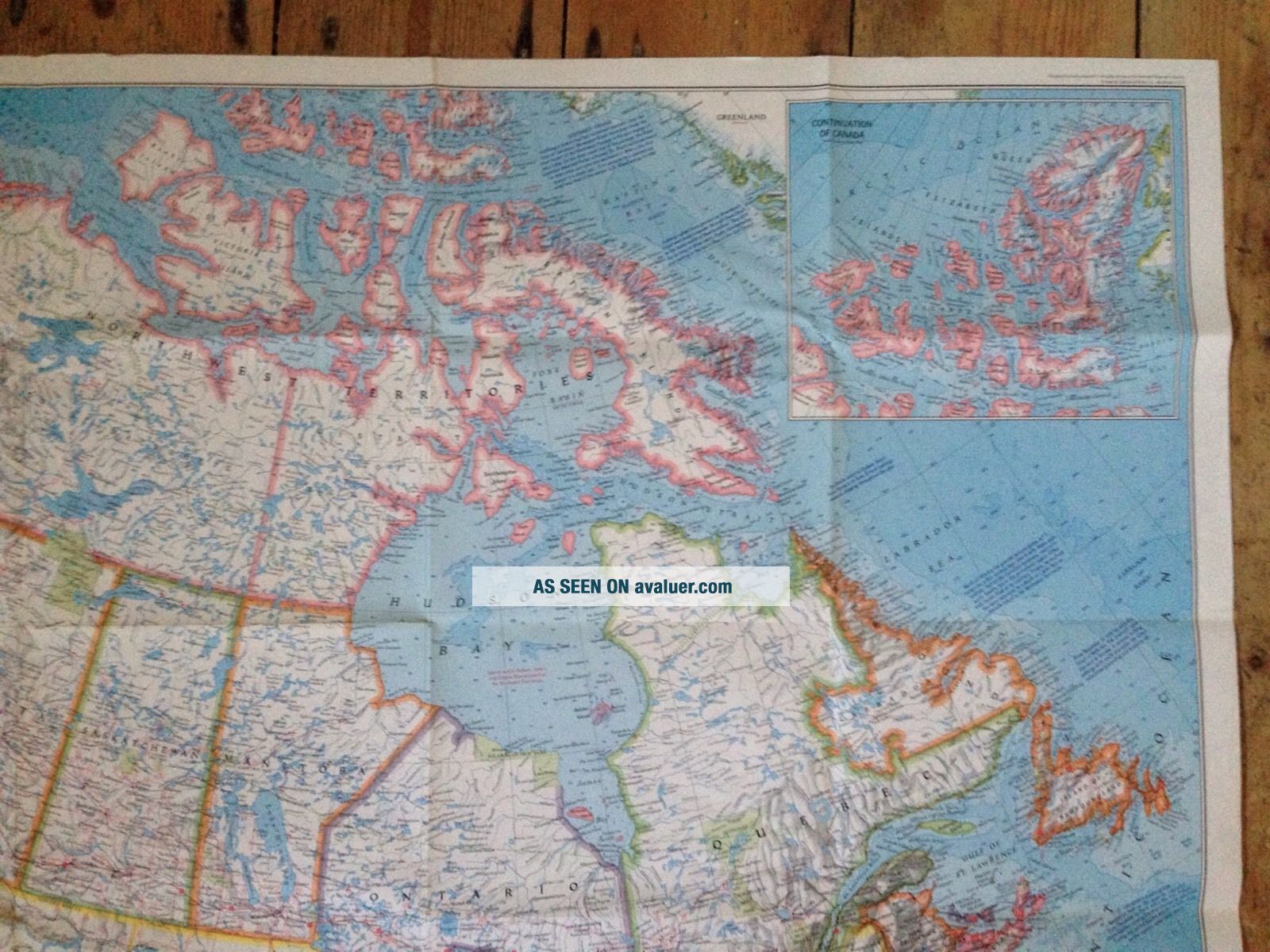
1972 NATIONAL GEOGRAPHIC SOCIETY LARGE MAP - CANADA / ICE AGE MAMMALS ALASKA


Item History & Price

Information:
Reference Number: Avaluer:1246980
Original Description:
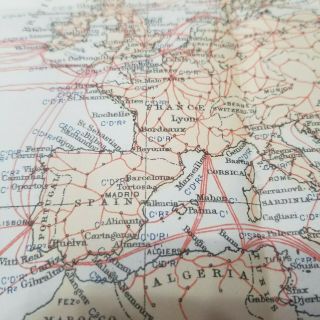
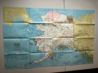
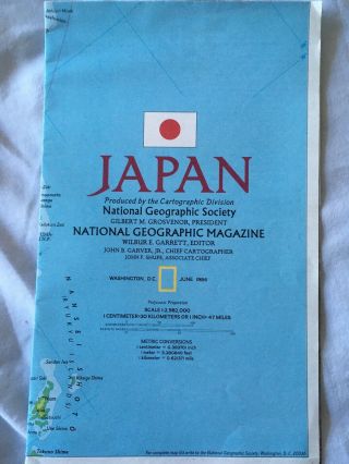
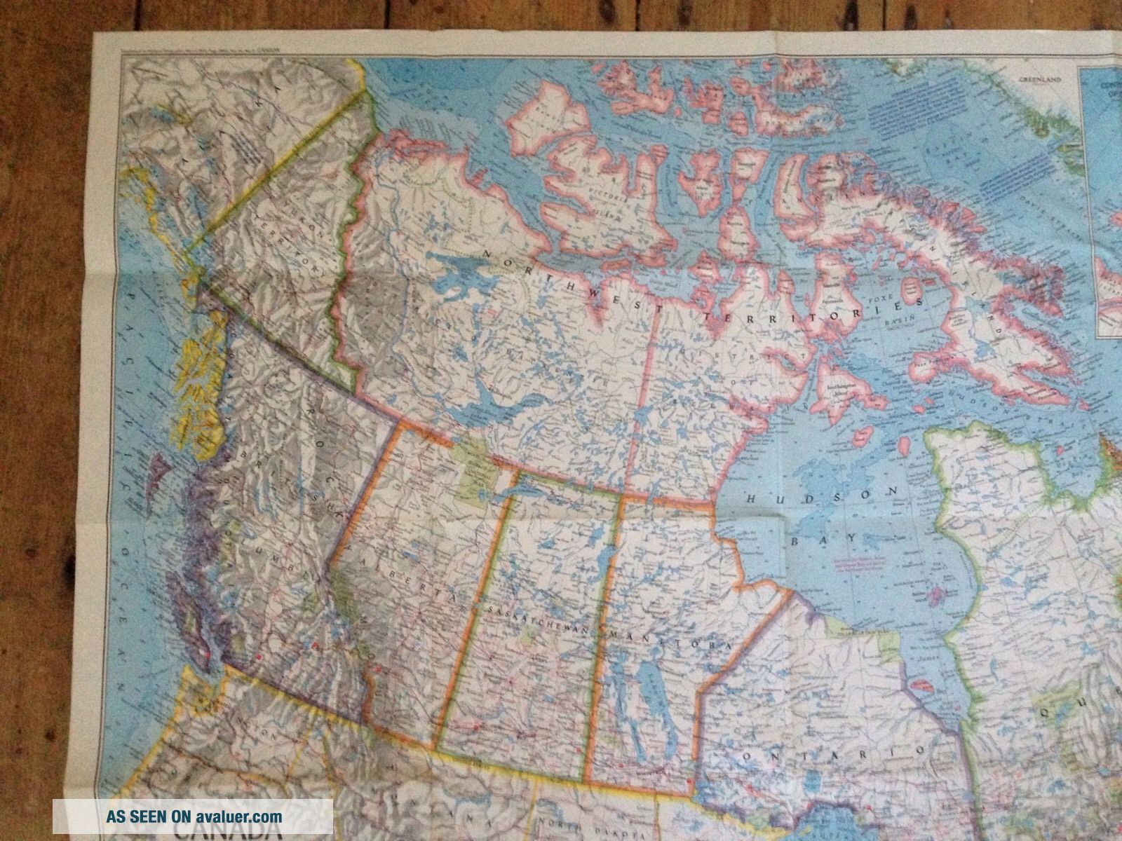
1972 NATIONAL GEOGRAPHIC SOCIETY LARGE MAP - CANADA / ICE AGE MAMMALS OF THE ALASKAN TUNDRABY THE CARTOGRAPHIC DIVISION - APPROX 31.5 X 22.5 INCHES

FOR FURTHER CONDITION, TYPE & VALUE . PLEASE STUDY THE PICTURES CAREFULLY.

Internatioal postage with require track and trace added if the object exceeds £20 in value.ANY QUESTIONS REGARDING INTERNATIONAL POSTAGE. PLEASE CONTACT ME THANK YOU
please note i am away from the 10th august, and will not be able to dispatch an...ything after this time untill the 28th august, i am able however to accept best offers and answer questions during this time. thank you


    Similar items


  • Vintage 1972 National Geographic Fold Up Map Of Canada Ice Age Mammals Tundra

    Vintage 1972 National Geographic Fold Up Map Of Canada Ice Age Mammals Tundra

  • Large Rare Vintage National Geographic Society Wall Map Of Africa 32x42 1968

    Large Rare Vintage National Geographic Society Wall Map Of Africa 32x42 1968

  • Vintage 1972 National Geographic Fold Up Map Of Canada Ice Age Mammals Tundra

    Vintage 1972 National Geographic Fold Up Map Of Canada Ice Age Mammals Tundra

  • Vintage National Geographic Society Wall Map - The Far East - Washington 1952

    Vintage National Geographic Society Wall Map - The Far East - Washington 1952

  • 1896 Submarine Cables Of The World Map National Geographic Society

    1896 Submarine Cables Of The World Map National Geographic Society

  • Vintage National Geographic Society Alaska Map And Poster

    Vintage National Geographic Society Alaska Map And Poster

  • National Geographic Society World Map Vintage Pin Patch And Marble

    National Geographic Society World Map Vintage Pin Patch And Marble

  • Japan.  National Geographic Society

    Japan. National Geographic Society


    • You might also like


    • 1860 Mitchell Hand Colored Map Colorado,  Nebraska & Kansas - Civil War Era

      1860 Mitchell Hand Colored Map Colorado, Nebraska & Kansas - Civil War Era

    • 18th Century French Map Of North America

      18th Century French Map Of North America

    • Las Vegas Nevada Vintage 1967 Us Geological Survey Quadrangle Map 4 Panels

      Las Vegas Nevada Vintage 1967 Us Geological Survey Quadrangle Map 4 Panels

    • Rare Antique 1845 Maps United States Exploring Expedition Book Antartica Hawaii

      Rare Antique 1845 Maps United States Exploring Expedition Book Antartica Hawaii

    • Vintage 1926 Map Hollywood From The Best Surveys Of The Time

      Vintage 1926 Map Hollywood From The Best Surveys Of The Time

    • American Continent (western Hemisphere) 1747 Bowen Antique Copper Engraved Map

      American Continent (western Hemisphere) 1747 Bowen Antique Copper Engraved Map

    • Gulf Coast Florida Texas United States 1705 De Fer Unusual Antique Engraved Map

      Gulf Coast Florida Texas United States 1705 De Fer Unusual Antique Engraved Map

    • California As Island United States 1700 De Fer Unusual First Edition Antique Map

      California As Island United States 1700 De Fer Unusual First Edition Antique Map

Avaluer          About Us          Privacy Policy          Contact Us          UP
© 2022, avaluer.net, Inc. or its affiliates