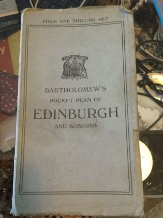
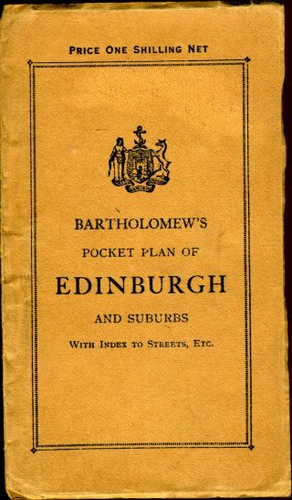
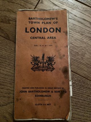
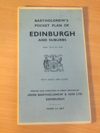
1940 Vintage Bartholomew ' S Pocket Plan Of Edinburgh & Suburbs


Item History & Price

Information:
Reference Number: Avaluer:1247527Year: c. 1940
Original/Reproduction: Vintage OriginalFormat: Folding Map
Date Range: 1940sState: Scotland
City: EdinburghCartographer/Publisher: John Bartholomew
Country/Region: United KingdomType: City Map
Original Description:
An absolutely beautiful detailed vintage map and town plan of Edinburgh.

Undated but looks to be c. 1940

Cloth backed. Measures approx 90x60cm unfolded.

In very good condition but with minor wear as you would expect for something of this age.

I'm having a big clear out of my collection of vintage and antique atlases and maps at the moment. Please take a look at my other items.


    Similar items


  • Vintage Bartholomew’s Pocket Plan Of Edinburgh And Suburbs

    Vintage Bartholomew’s Pocket Plan Of Edinburgh And Suburbs

  • Vintage Bartholomew

    Vintage Bartholomew ' S Pocket Plan Of Edinburgh With Index And Guide Price 1/ -

  • Vintage Map Bartholomew

    Vintage Map Bartholomew ' S Pocket Plan Of Glasgow And Suburbs No Tax

  • Linen Map Bartholomew

    Linen Map Bartholomew ' S Pocket Plan Of Edinburgh And Suburbs C1900?

  • Vintage Bartholomew

    Vintage Bartholomew ' S Town Plan Of London Central Area. Cloth Map

  • 1958 John Bartholomew

    1958 John Bartholomew ' S Pocket Plan Of Edinburgh & Suburbs 3½” To 1 Mile

  • Vintage Bartholomew

    Vintage Bartholomew ' S Pocket Atlas & Guide To London, Inc. Railways, 1922 (ref14

  • 1800 Cary

    1800 Cary ' S Pocket Plan Of London, Westminster And Southwark With Slipcase


    • You might also like


    • Hungary & Romania 1579 (1584) Ortelius Unusual Antique Copper Engraved Map

      Hungary & Romania 1579 (1584) Ortelius Unusual Antique Copper Engraved Map

    • Brussels Bruxelles Belfium 1777 De Ferraris & Dupuis Large Antique Map Sheet Xxi

      Brussels Bruxelles Belfium 1777 De Ferraris & Dupuis Large Antique Map Sheet Xxi

    • 1616 Atlas Map Of Iceland.

      1616 Atlas Map Of Iceland.

    • Kazan Russia 1767 Le Clerc/lespinasse Antique Copper Engraved City View

      Kazan Russia 1767 Le Clerc/lespinasse Antique Copper Engraved City View

    • 1899 Stanford,  Folding Map Of Norwich,  Norfolk,  Arthur Collins,  Jarrold & Sons,

      1899 Stanford, Folding Map Of Norwich, Norfolk, Arthur Collins, Jarrold & Sons,

    • 1948 Vintage Linen Colour Map Geological Survey Ten Mile Of Great Britain

      1948 Vintage Linen Colour Map Geological Survey Ten Mile Of Great Britain

    • 1944 Map Flying Bombs Sussex Ww2 Newspaper Military Kent Courier German V1 V2

      1944 Map Flying Bombs Sussex Ww2 Newspaper Military Kent Courier German V1 V2

    • Dated 1638 Vellum Map Of Icklesham Sussex Showing Land Uses Owners Etc

      Dated 1638 Vellum Map Of Icklesham Sussex Showing Land Uses Owners Etc

Avaluer          About Us          Privacy Policy          Contact Us          UP
© 2022, avaluer.net, Inc. or its affiliates