1920 Vintage Blue Guide Map Of The City Of London


Item History & Price

Information:
Reference Number: Avaluer:1248121County: Kent
Type: Topographical MapCartographer/Publisher: HMSO
Year: 1920Printing Technique: Lithography
Date Range: 1920-1929Original/Reproduction: Antique Original
Era: 1900sFormat: Book Map
Original Description:
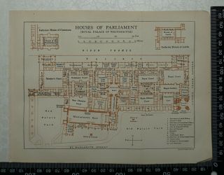
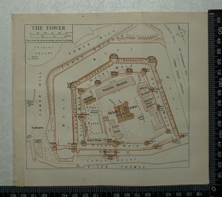
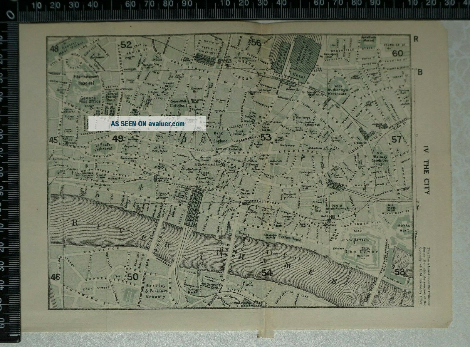
1920 Vintage Blue Guide Map of the City of London

This vintage map comes from 'The Blue Guides - London and its Environs published by Macmillan & Co. Ltd.
Overall Page Size: 22.5 cm x 16 cm approx. with two folds.  
Condition: Very Good Imprint. 
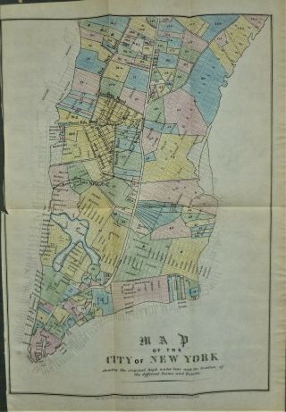
Please study picture.
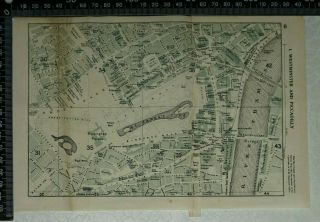
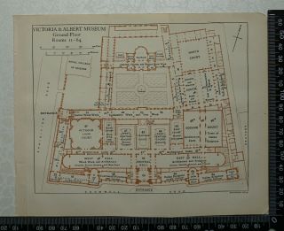


    Similar items


  • 1920 Vintage Blue Guide Plan Of The Houses Of Parliament London

    1920 Vintage Blue Guide Plan Of The Houses Of Parliament London

  • 1920 Vintage Blue Guide Plan Of The Tower Of London

    1920 Vintage Blue Guide Plan Of The Tower Of London

  • 1920 Vintage Blue Guide Map Of Westminster And Piccadilly,  London

    1920 Vintage Blue Guide Map Of Westminster And Piccadilly, London

  • 1920 Vintage Blue Guide Plans Of Victoria & Albert Museum / The British Museum

    1920 Vintage Blue Guide Plans Of Victoria & Albert Museum / The British Museum

  • Vintage Handcolored 1852 Map Of The City Of York

    Vintage Handcolored 1852 Map Of The City Of York

  • Parker Street And Fire Alarm Guide Map Of The City Of Andover Ma 1934

    Parker Street And Fire Alarm Guide Map Of The City Of Andover Ma 1934

  • Vintage " Gregory

    Vintage " Gregory ' S Map Of The City Of Sydney "

  • Bordeaux France 1940s Foldout Map Of The City And Guide Booklet Vintage

    Bordeaux France 1940s Foldout Map Of The City And Guide Booklet Vintage


    • You might also like


    • Hungary & Romania 1579 (1584) Ortelius Unusual Antique Copper Engraved Map

      Hungary & Romania 1579 (1584) Ortelius Unusual Antique Copper Engraved Map

    • Brussels Bruxelles Belfium 1777 De Ferraris & Dupuis Large Antique Map Sheet Xxi

      Brussels Bruxelles Belfium 1777 De Ferraris & Dupuis Large Antique Map Sheet Xxi

    • 1616 Atlas Map Of Iceland.

      1616 Atlas Map Of Iceland.

    • Kazan Russia 1767 Le Clerc/lespinasse Antique Copper Engraved City View

      Kazan Russia 1767 Le Clerc/lespinasse Antique Copper Engraved City View

    • 1899 Stanford,  Folding Map Of Norwich,  Norfolk,  Arthur Collins,  Jarrold & Sons,

      1899 Stanford, Folding Map Of Norwich, Norfolk, Arthur Collins, Jarrold & Sons,

    • 1948 Vintage Linen Colour Map Geological Survey Ten Mile Of Great Britain

      1948 Vintage Linen Colour Map Geological Survey Ten Mile Of Great Britain

    • 1944 Map Flying Bombs Sussex Ww2 Newspaper Military Kent Courier German V1 V2

      1944 Map Flying Bombs Sussex Ww2 Newspaper Military Kent Courier German V1 V2

    • Dated 1638 Vellum Map Of Icklesham Sussex Showing Land Uses Owners Etc

      Dated 1638 Vellum Map Of Icklesham Sussex Showing Land Uses Owners Etc

Avaluer          About Us          Privacy Policy          Contact Us          UP
© 2022, avaluer.net, Inc. or its affiliates