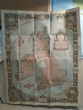
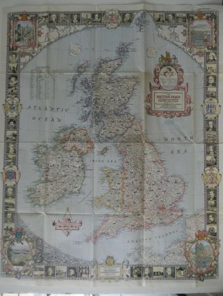
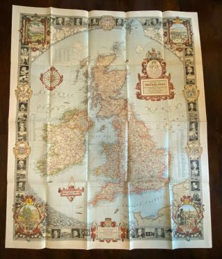
1937 NATIONAL GEOGRAPHIC MAP BRITISH ISLES IRISH STATE RIDDIFORD
Item History & Price
| Reference Number: Avaluer:1250009 | Year: 1937 |
| Publication Year: 1937 | Topic: Maps |
| Original/Reproduction: Original |
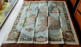
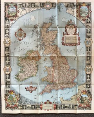
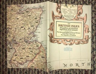
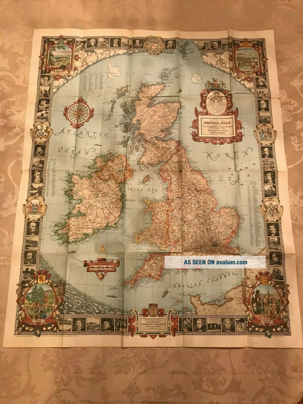
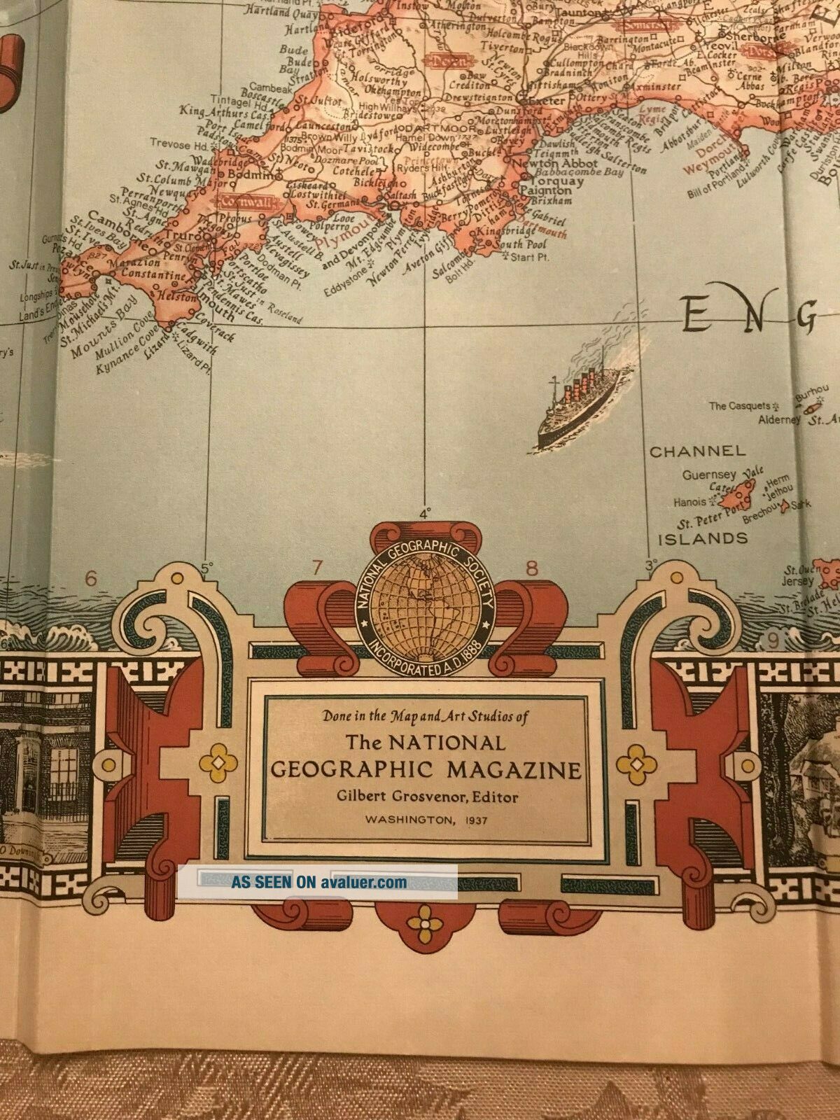
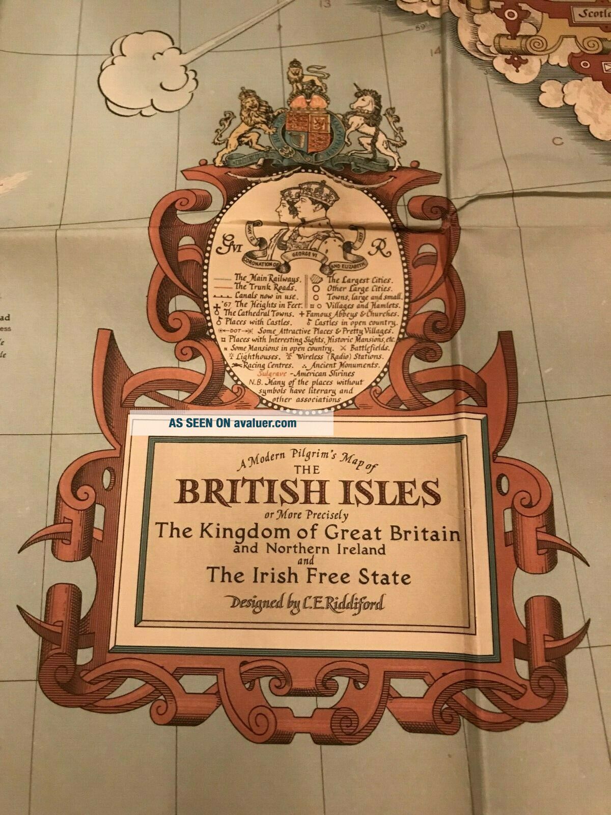
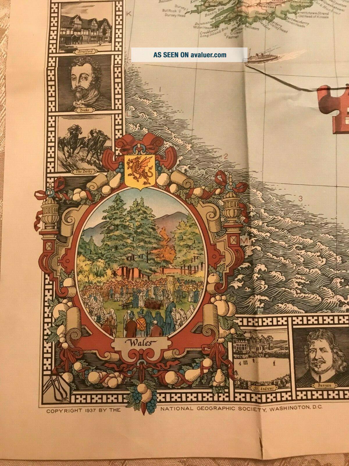
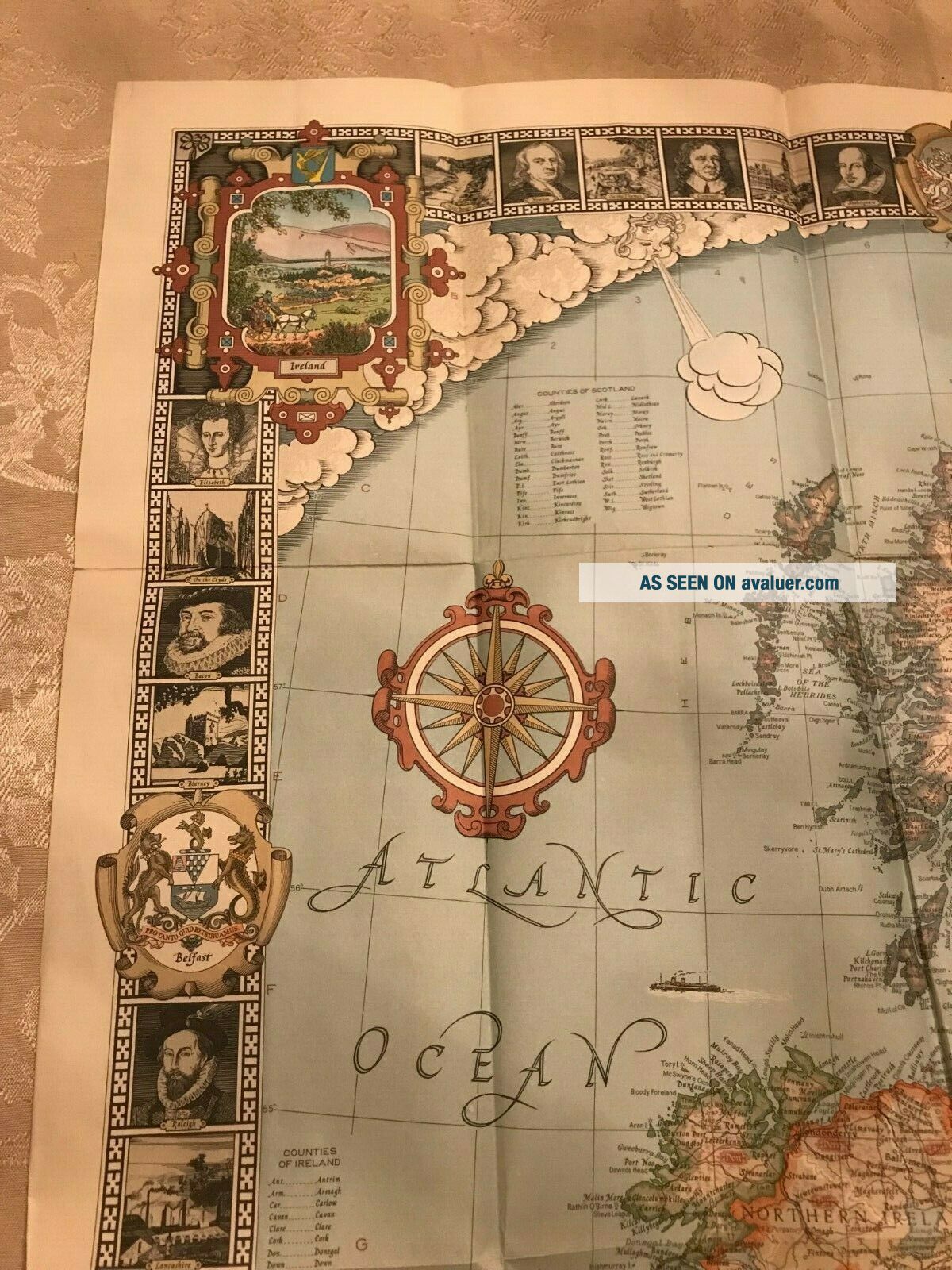
THIS LISTING IS FOR ONE USED VINTAGE ORIGINAL 1937 NATIONAL GEOGRAPHIC MAP OF THE BRITISH ISLES DESIGNED BY C. E. RIDDIFORD. THE NATIONAL GEOGRAPHIC MAGAZINE ART STUDIOS WASHINGTON, 1937. IT MEASURES: 29 1/2 INCHES WIDE BY 36 INCHES TALL. IT IS FOLDED. IT WAS FOUND WITH THE OTHER MAPS LISTED. IT IS IN AS FOUND CONDITION FROM A LOCAL ESTATE. PLEASE SEE ALL PHOTOS FOR CONDITION. IT WILL BE SHIPPED IN A BOX FOR PROTECTION. THANK YOU FOR LOOKING AND HAVE A GREAT DAY.
...
...