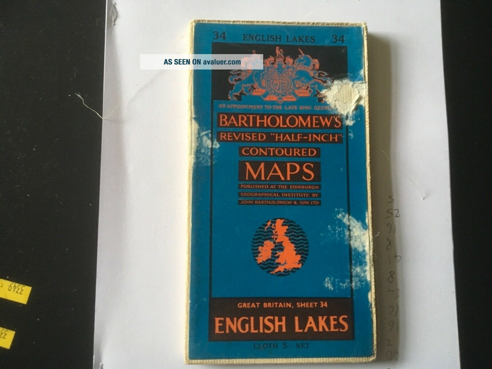
Bartholomew ' S Revised " Half - Inch " Contoured Maps Sheet 34 English Lakes Cloth
Item History & Price
Wear to cover as shown in photograph, map very good with no marks tears or inscriptions.

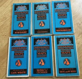
Six Vintage Revised Half Inch Bartholomew’s Contoured Maps Scotland
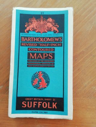
Suffolk. Bartholomew ' S Revised Half - Inch Contoured Map. Sheet 21. Very Good Cond
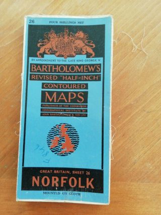
Norfolk. Bartholomew ' S Revised Half - Inch Contoured Map Sheet 26. Cloth. 1947
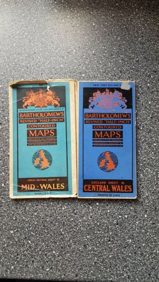
Bartholomew ' S Revised " Half - Inch " Contoured Maps. Mid And Central Wales. 1960s.
Bartholomew ' S Revised Half Inch Map Central Ross Sheet 20 On Cloth 1940 ' S
Six Cloth Vintage Bartholomew ' S Revised Half Inch Contoured Maps 4, 5, 6, 8, 9 & 10
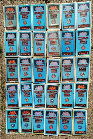
Thirty Bartholomew’s Revised Half - Inch Contoured Maps – Paper And Cloth

Hungary & Romania 1579 (1584) Ortelius Unusual Antique Copper Engraved Map

Brussels Bruxelles Belfium 1777 De Ferraris & Dupuis Large Antique Map Sheet Xxi

1616 Atlas Map Of Iceland.

Kazan Russia 1767 Le Clerc/lespinasse Antique Copper Engraved City View

1899 Stanford, Folding Map Of Norwich, Norfolk, Arthur Collins, Jarrold & Sons,

1948 Vintage Linen Colour Map Geological Survey Ten Mile Of Great Britain

1944 Map Flying Bombs Sussex Ww2 Newspaper Military Kent Courier German V1 V2

Dated 1638 Vellum Map Of Icklesham Sussex Showing Land Uses Owners Etc