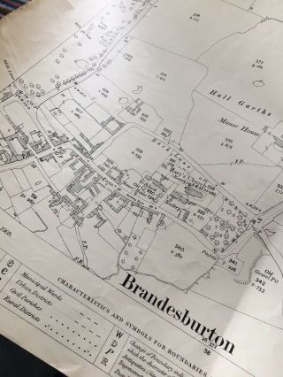
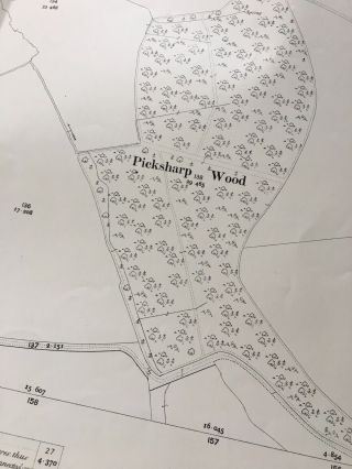
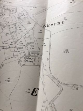
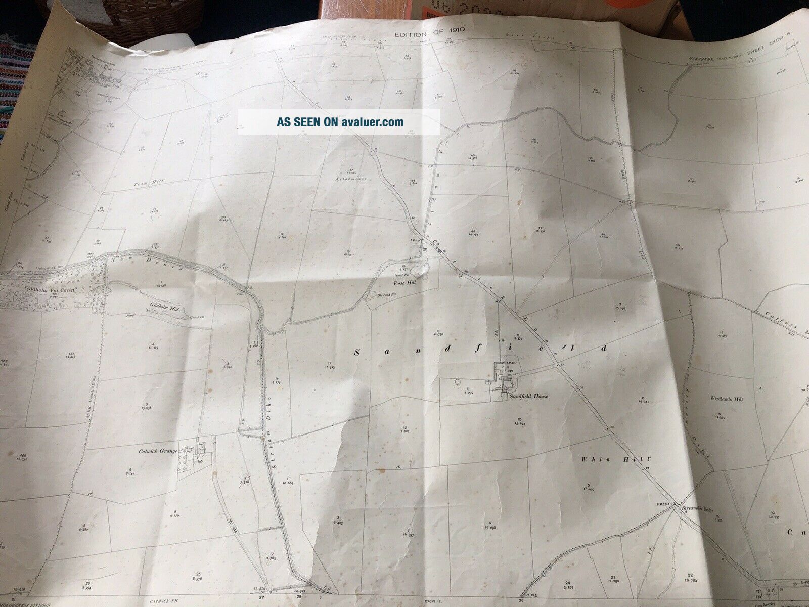
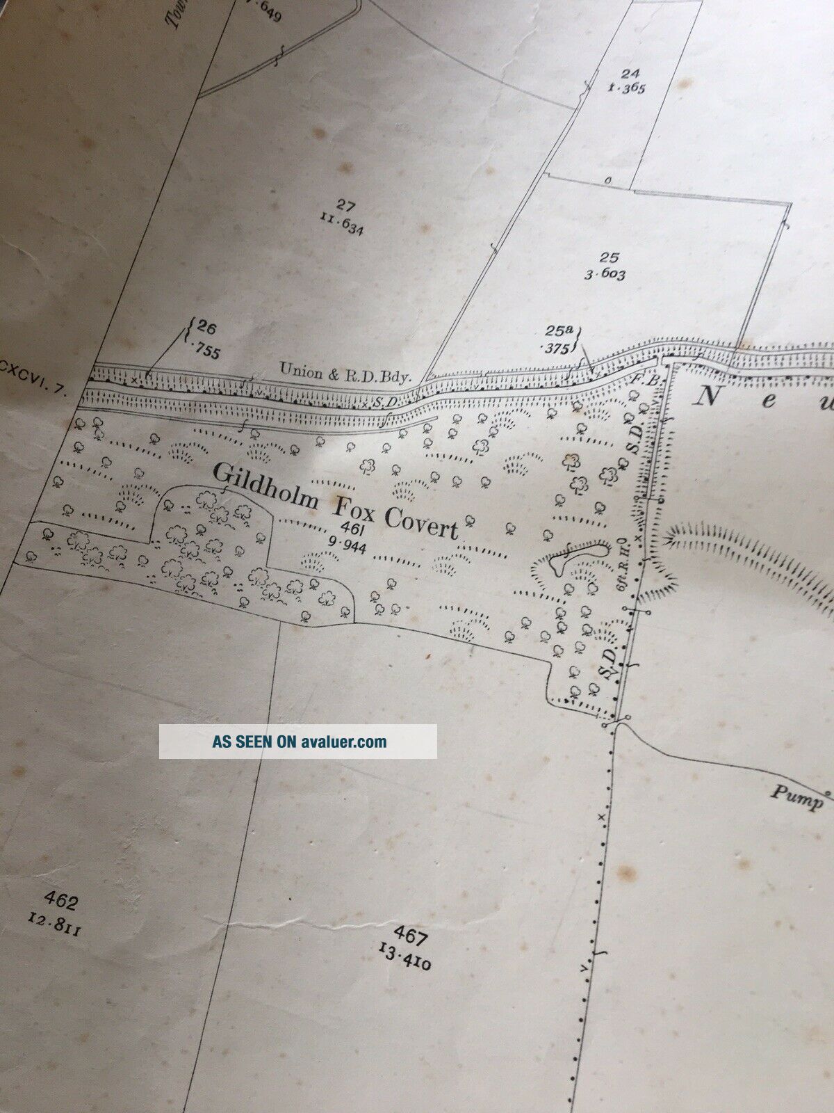
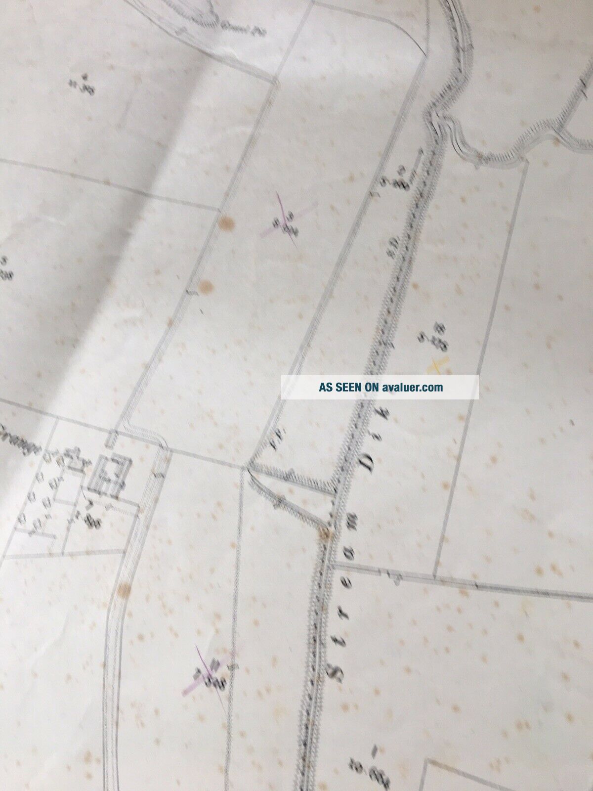
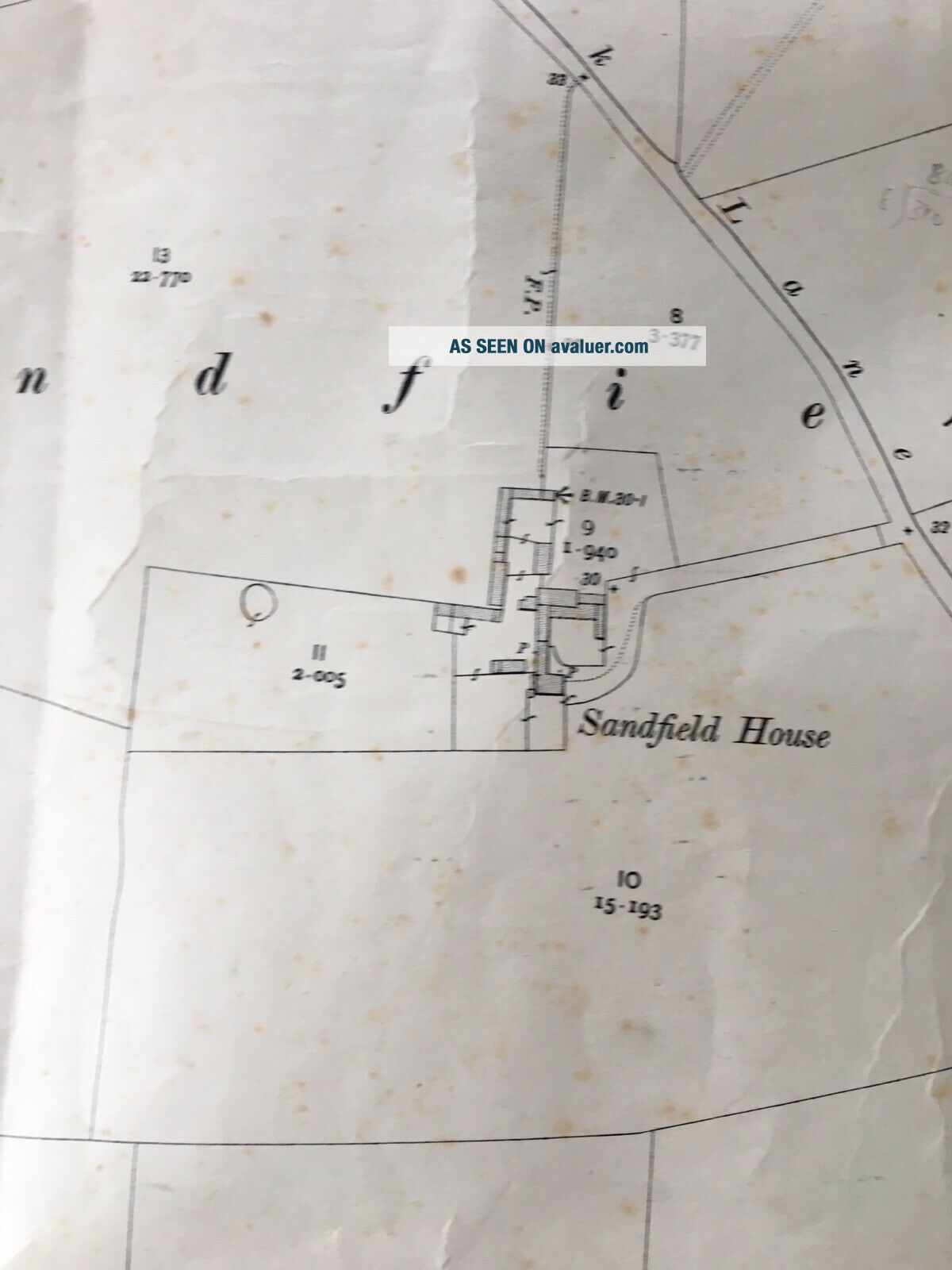
Antique Map 1910 Fosse Hill Brandesburton Sandfield Vintage Plan For Display


Item History & Price

Information:
Reference Number: Avaluer:1250162Year: 1910
Type: Village Parish Map PlanFormat: Sheet Map
Original/Reproduction: Antique OriginalCounty: Yorkshire
Printing Technique: LithographyEra: 1900s
Country/Region: United KingdomCartographer/Publisher: Ordnance Survey Office
Original Description:
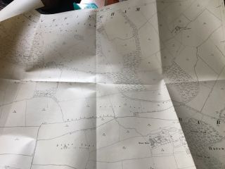
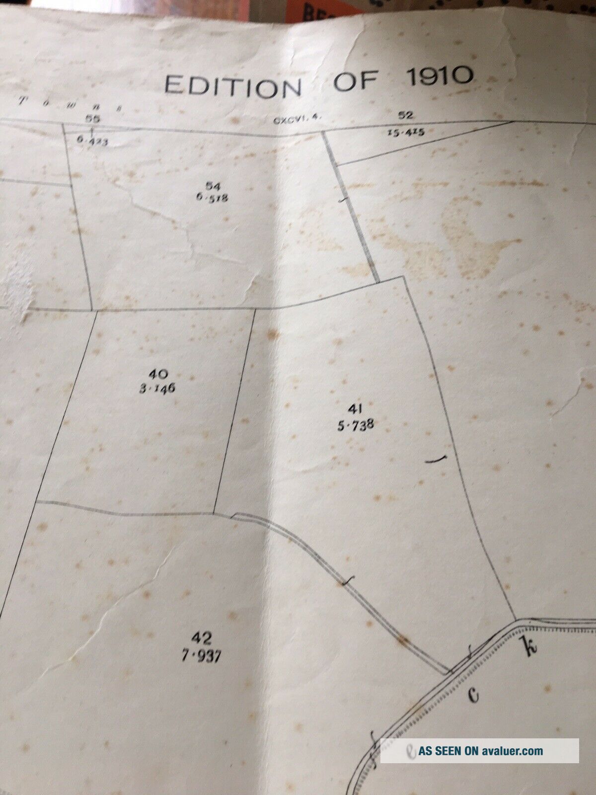
An Original Ordnance Survey Map or plan.
104x75cm - ideal for framing. Very age spotted.
Has been folded and some creasing. Folds don’t appear to show on photos as they have been disguised by the camera flash. May have some slight edge tears but overall good despite the age.
From a council office but a good interior design piece.
Many more maps/plans coming on line


    Similar items


  • Antique Map 1910 East Field Brandesburton Moor Main Drain Vintage Plan Display

    Antique Map 1910 East Field Brandesburton Moor Main Drain Vintage Plan Display

  • Antique Map 1910 Birdsall Ings - Plantation Drain Vintage Plan Display Frame

    Antique Map 1910 Birdsall Ings - Plantation Drain Vintage Plan Display Frame

  • Antique Map 1910 Skerne Farms Drains Field Mancave Holderness Vintage Driffield

    Antique Map 1910 Skerne Farms Drains Field Mancave Holderness Vintage Driffield

  • 1937 Antique Map Of Spain And Portugal Collectible Vintage Spain Map 6418

    1937 Antique Map Of Spain And Portugal Collectible Vintage Spain Map 6418

  • Antique Map - 1910 Everingham Harswell Village Church Manor House Home Decor

    Antique Map - 1910 Everingham Harswell Village Church Manor House Home Decor

  • Antique Maps Of The World - Double Hemisphere - Vintage Poster 1680 24x36

    Antique Maps Of The World - Double Hemisphere - Vintage Poster 1680 24x36

  • Antique Map Of Fort Hill Monterey California

    Antique Map Of Fort Hill Monterey California

  • Heinrich Techler Prague Guarnerius Model Antique Violin 1910

    Heinrich Techler Prague Guarnerius Model Antique Violin 1910 ' S


    • You might also like


    • Hungary & Romania 1579 (1584) Ortelius Unusual Antique Copper Engraved Map

      Hungary & Romania 1579 (1584) Ortelius Unusual Antique Copper Engraved Map

    • Brussels Bruxelles Belfium 1777 De Ferraris & Dupuis Large Antique Map Sheet Xxi

      Brussels Bruxelles Belfium 1777 De Ferraris & Dupuis Large Antique Map Sheet Xxi

    • 1616 Atlas Map Of Iceland.

      1616 Atlas Map Of Iceland.

    • Kazan Russia 1767 Le Clerc/lespinasse Antique Copper Engraved City View

      Kazan Russia 1767 Le Clerc/lespinasse Antique Copper Engraved City View

    • 1899 Stanford,  Folding Map Of Norwich,  Norfolk,  Arthur Collins,  Jarrold & Sons,

      1899 Stanford, Folding Map Of Norwich, Norfolk, Arthur Collins, Jarrold & Sons,

    • 1948 Vintage Linen Colour Map Geological Survey Ten Mile Of Great Britain

      1948 Vintage Linen Colour Map Geological Survey Ten Mile Of Great Britain

    • 1944 Map Flying Bombs Sussex Ww2 Newspaper Military Kent Courier German V1 V2

      1944 Map Flying Bombs Sussex Ww2 Newspaper Military Kent Courier German V1 V2

    • Dated 1638 Vellum Map Of Icklesham Sussex Showing Land Uses Owners Etc

      Dated 1638 Vellum Map Of Icklesham Sussex Showing Land Uses Owners Etc

Avaluer          About Us          Privacy Policy          Contact Us          UP
© 2022, avaluer.net, Inc. or its affiliates