Vintage 1942 World War WWII Atlas Map Of Louisiana & Kentucky & Tennessee L@@K


Item History & Price
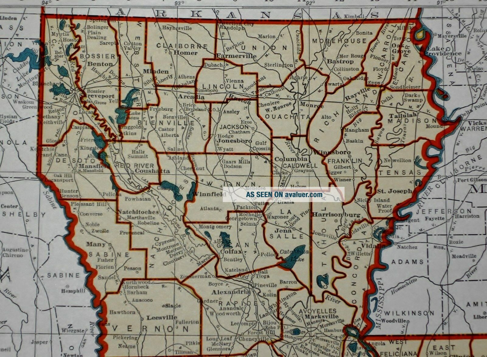
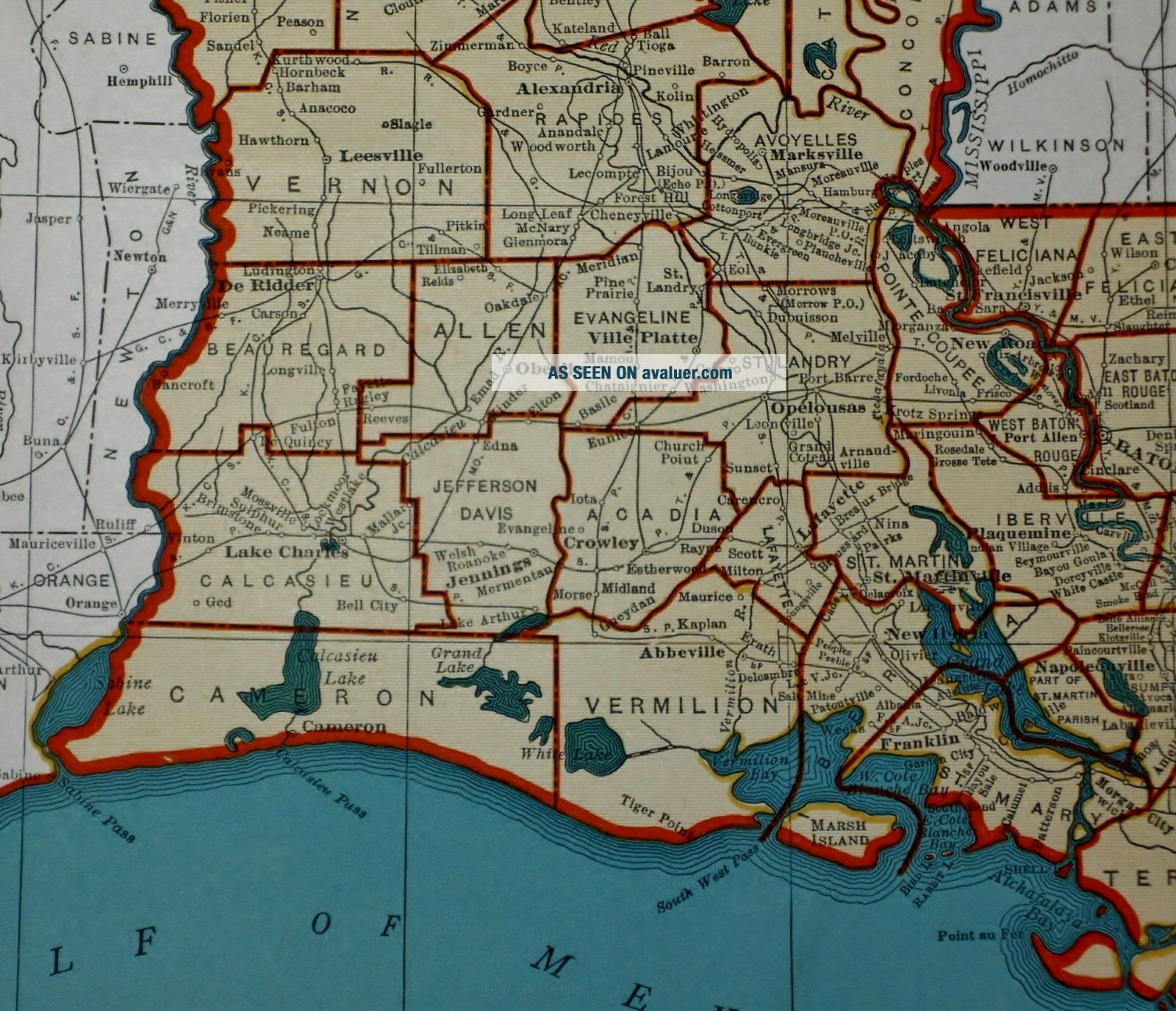
2Vintage 1942 World Atlas Map of Kentucky, Tennessee & Louisiana
Vintage 1942 World Atlas City Map of Kentucky, Tennessee & Louisiana A Wonderful Vintage Gift!
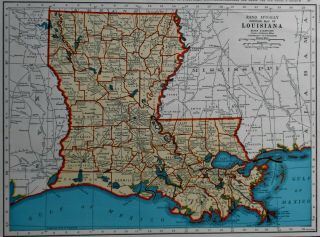
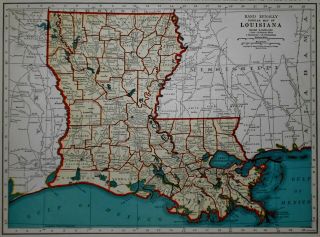
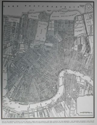
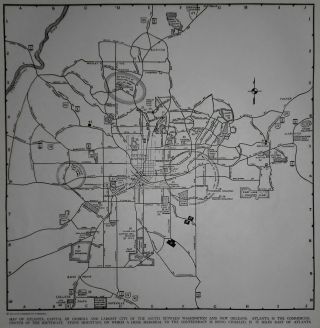
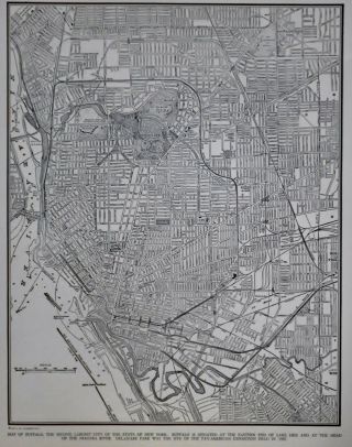
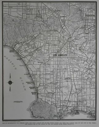
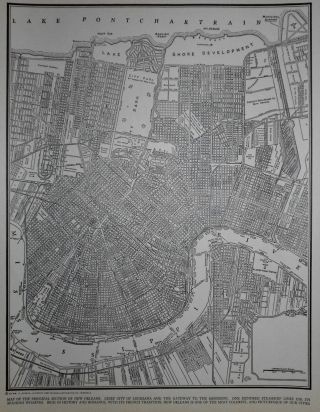
Great OLD Map from the "COLLIER'S WORLD ATLAS & GAZETTEER"The Book Is Copyright 194277 Years Old!Kentucky & Tennessee On One Side (Contact Us For More Photos)A Map of Louisiana On The Other SideThe Page Measures About&n...bsp;10 3/4 x 14 1/8"Very Historic!Very Educational. See What These States used to look like!Wonderful Colors!This Page Is Slightly Yellowed, As Expected, From AgeSee All PhotosIt Will Look Great Matted & Framed!A Really Nice Gift!A GREAT House Warming Gift!The Perfect Gift For A Preferred Client!Teachers, Students, Authors, Artists, Historians, Real Estate Agents, Interior Decorators & Politicians LOVE Them!Awesome Décor For Your Home, Business, Studio, Library, Restaurant, Club Or Bar!A "Must" For Your Genealogy Research Project!Super For a Local Business or Office!Buy It Now!Shipping by 1st Class or Priority MailWe Will Combine Shipping On Up To 6 Maps For The Same Shipping Fee As One!Check Out All Of Our Art, Maps, Prints, Books And Other Great Items!Email Us With Any Questions or For an International Shipping QuoteBe sure to add me to your favorites list!Thanks For Looking!International Buyers – Please Note:
Import duties, taxes, and charges are not included in the item price or shipping cost. These charges are the buyer's responsibility
Please check with your country's customs office to determine what these additional costs will be prior to bidding or buying
00060
Vintage 1942 World Atlas City Map of Kentucky, Tennessee & Louisiana A Wonderful Vintage Gift!
Great OLD Map from the "COLLIER'S WORLD ATLAS & GAZETTEER"The Book Is Copyright 194277 Years Old!Kentucky & Tennessee On One Side (Contact Us For More Photos)A Map of Louisiana On The Other SideThe Page Measures About&n...bsp;10 3/4 x 14 1/8"Very Historic!Very Educational. See What These States used to look like!Wonderful Colors!This Page Is Slightly Yellowed, As Expected, From AgeSee All PhotosIt Will Look Great Matted & Framed!A Really Nice Gift!A GREAT House Warming Gift!The Perfect Gift For A Preferred Client!Teachers, Students, Authors, Artists, Historians, Real Estate Agents, Interior Decorators & Politicians LOVE Them!Awesome Décor For Your Home, Business, Studio, Library, Restaurant, Club Or Bar!A "Must" For Your Genealogy Research Project!Super For a Local Business or Office!Buy It Now!Shipping by 1st Class or Priority MailWe Will Combine Shipping On Up To 6 Maps For The Same Shipping Fee As One!Check Out All Of Our Art, Maps, Prints, Books And Other Great Items!Email Us With Any Questions or For an International Shipping QuoteBe sure to add me to your favorites list!Thanks For Looking!International Buyers – Please Note:
Import duties, taxes, and charges are not included in the item price or shipping cost. These charges are the buyer's responsibility
Please check with your country's customs office to determine what these additional costs will be prior to bidding or buying
00060