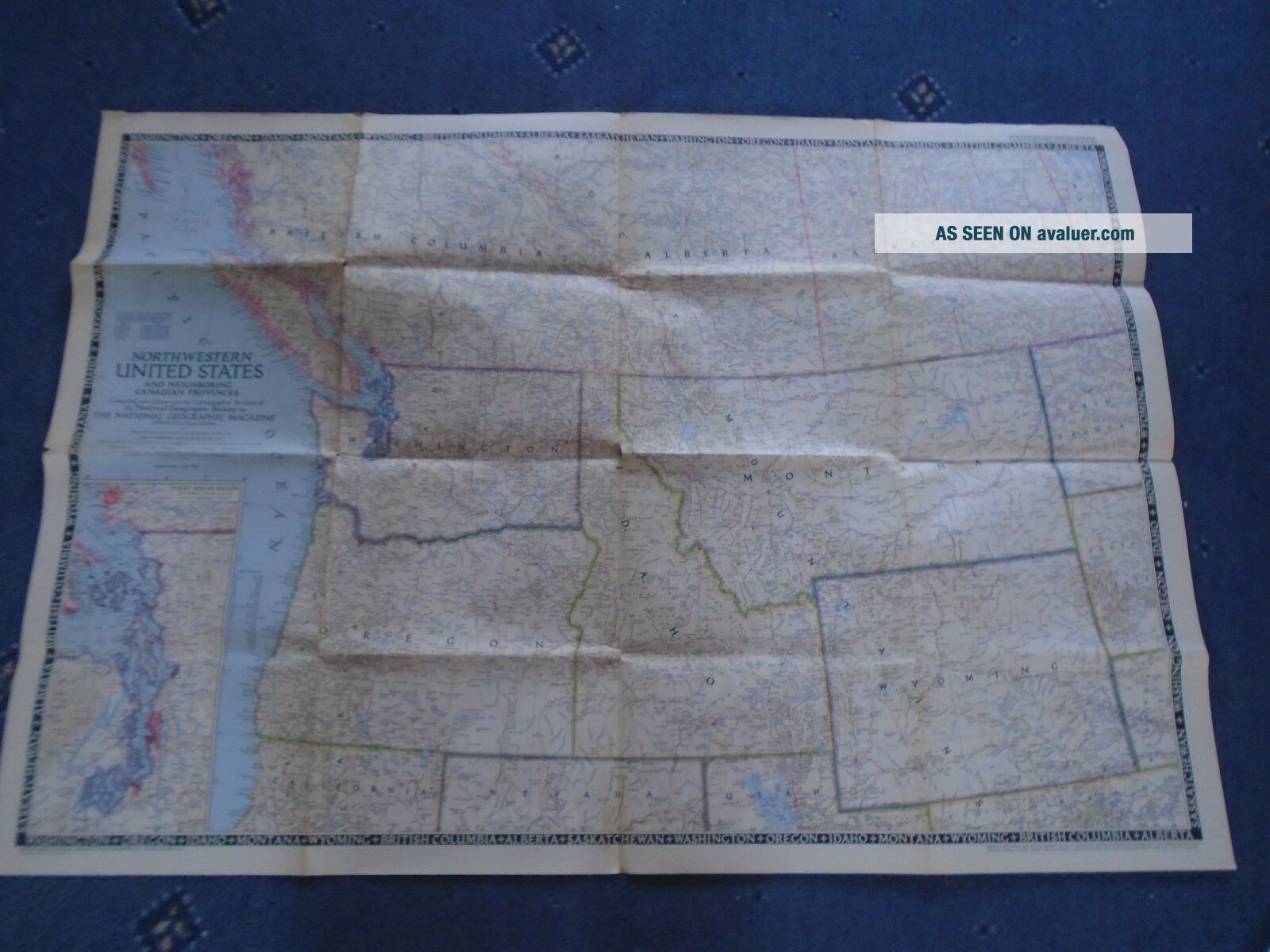
National Geographic Map North Western United States 93 X 64. 5 Cm USA 1950
Item History & Price
| Reference Number: Avaluer:1251022 | Year: 1950 |
as seen in photomay have little holes in the folds

| Reference Number: Avaluer:1251022 | Year: 1950 |
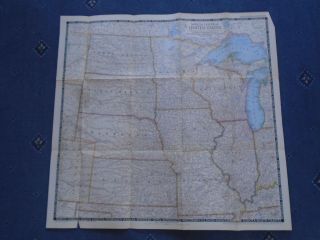
National Geographic Map North Central United States 71 - 67 Cm Usa 1948

Vintage 1948 National Geographic Map North Central United States
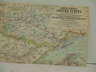
Vintage 1958 National Geographic Map North Central United States
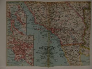
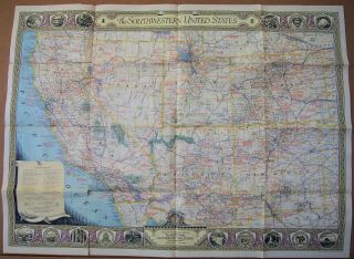
Vintage 1959 National Geographic Map Of Southwestern United States
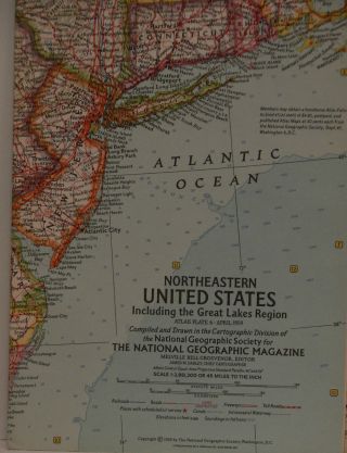
Vintage 1959 National Geographic Map Of Northeastern United States
1940 June National Geographic Map Of Southwestern United States 26 X 35 " Fair
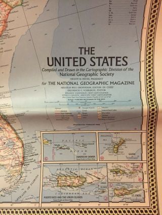
1968 National Geographic Map Of The United States
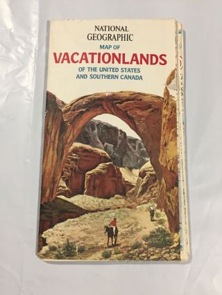
Vintage National Geographic Map Of Vacationlands United States Southern Canada

1860 Mitchell Hand Colored Map Colorado, Nebraska & Kansas - Civil War Era

18th Century French Map Of North America

Las Vegas Nevada Vintage 1967 Us Geological Survey Quadrangle Map 4 Panels

Rare Antique 1845 Maps United States Exploring Expedition Book Antartica Hawaii

Vintage 1926 Map Hollywood From The Best Surveys Of The Time

American Continent (western Hemisphere) 1747 Bowen Antique Copper Engraved Map

Gulf Coast Florida Texas United States 1705 De Fer Unusual Antique Engraved Map

California As Island United States 1700 De Fer Unusual First Edition Antique Map