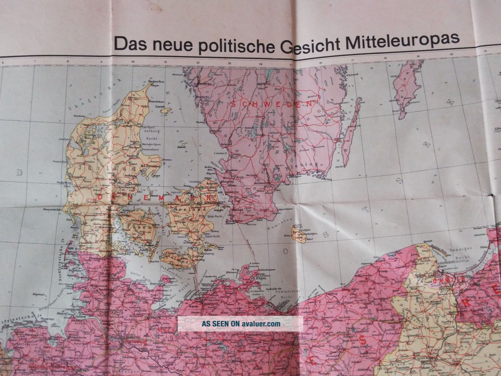
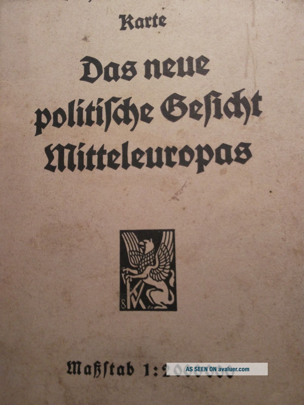
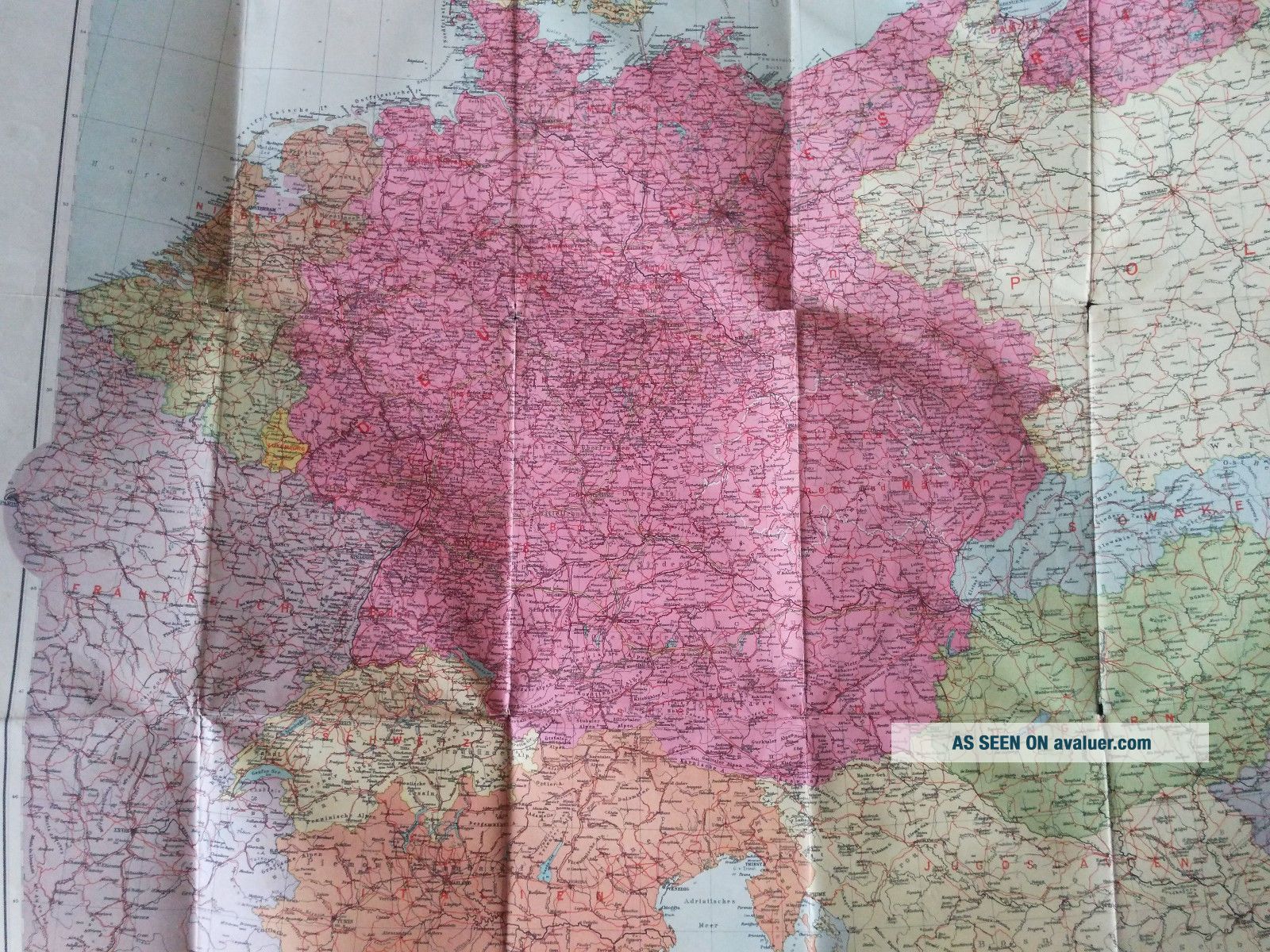
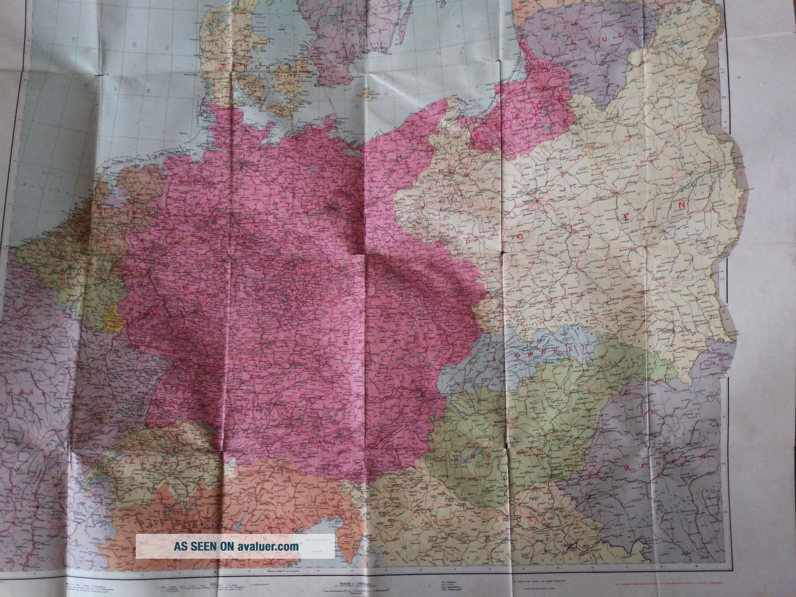
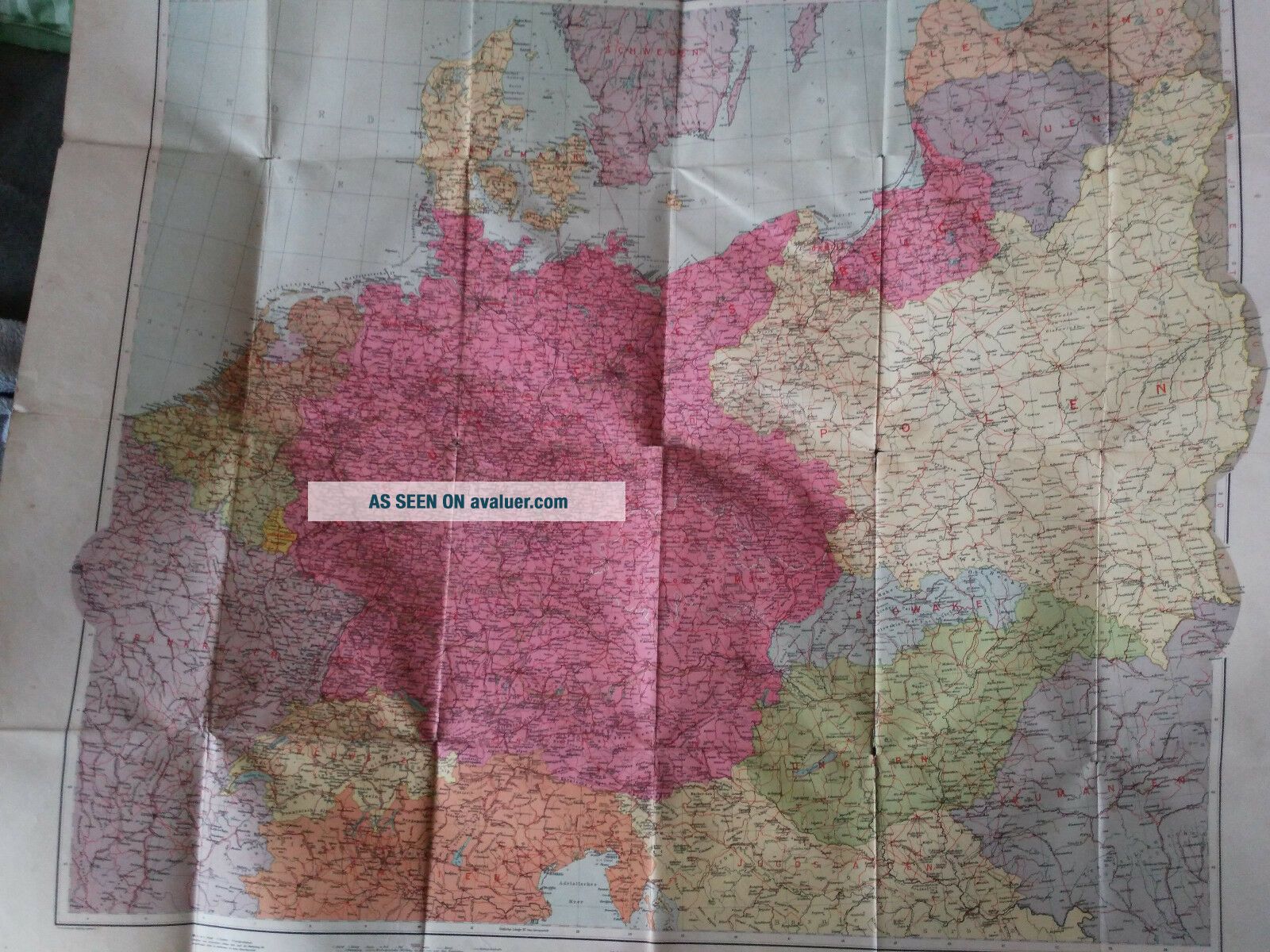
XXXL 1940 ' S Map Of The Europe Das Neue Politische Gesicht Mitteleuropas
Item History & Price
| Reference Number: Avaluer:12805 | Year: 1940 |
| Topic: Maps | Region: Europe |
| Publication Year: 1940 |
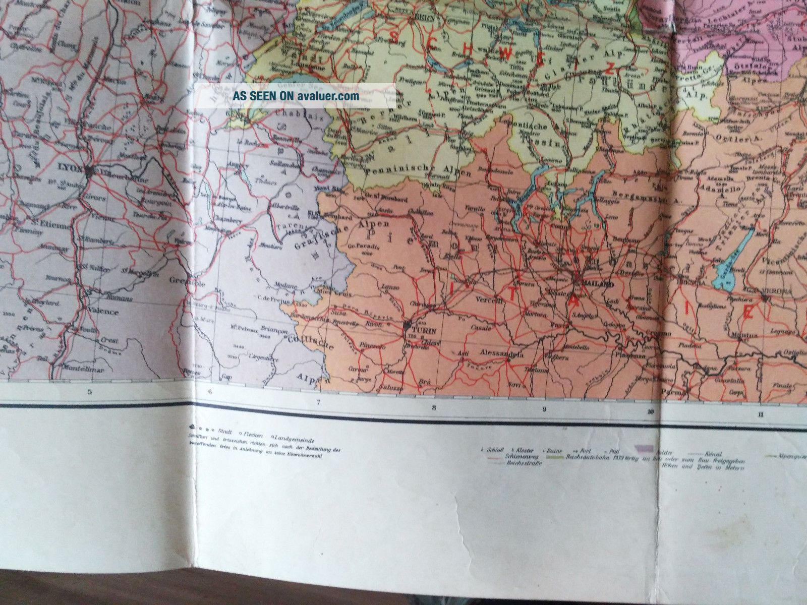
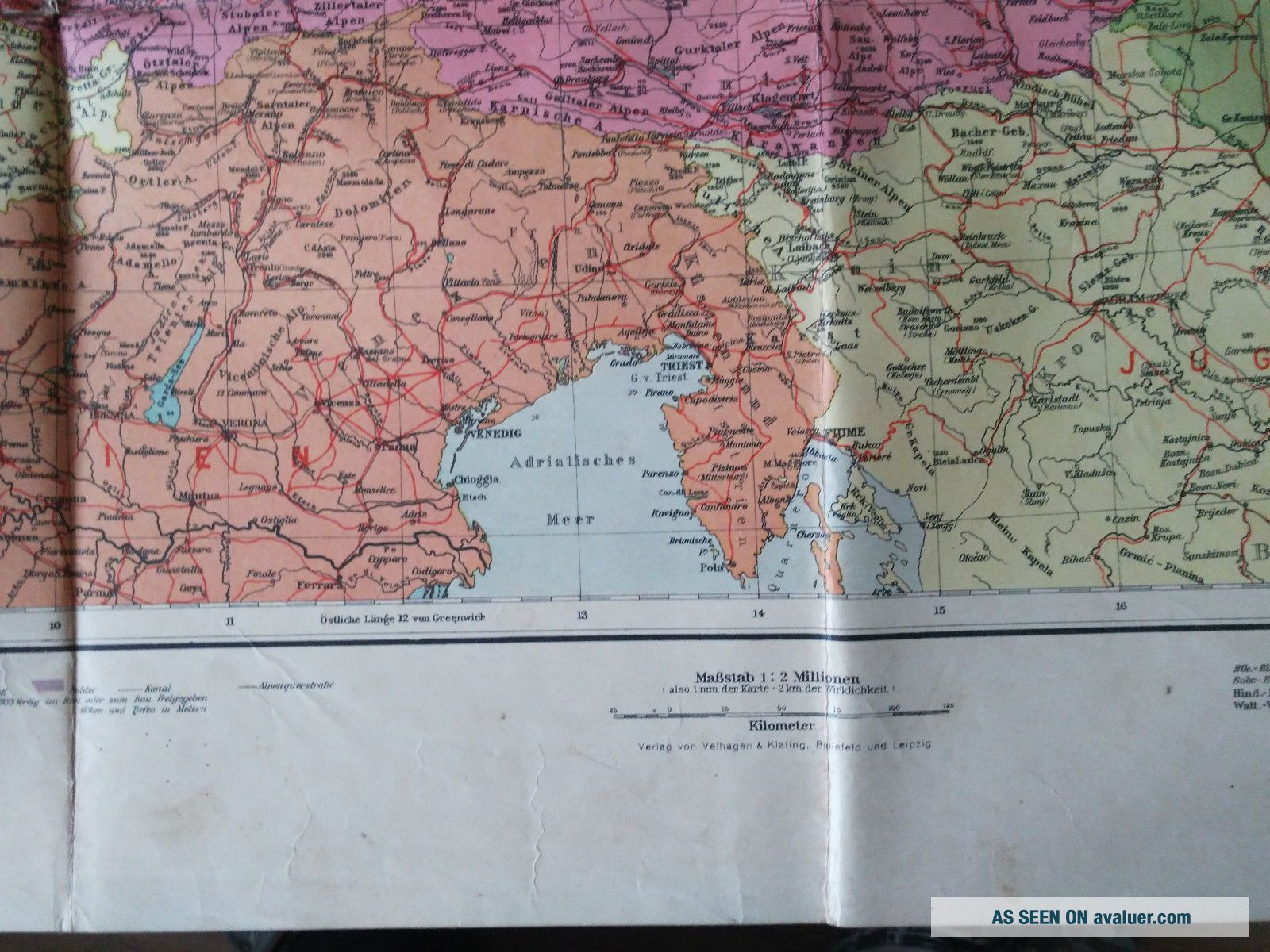
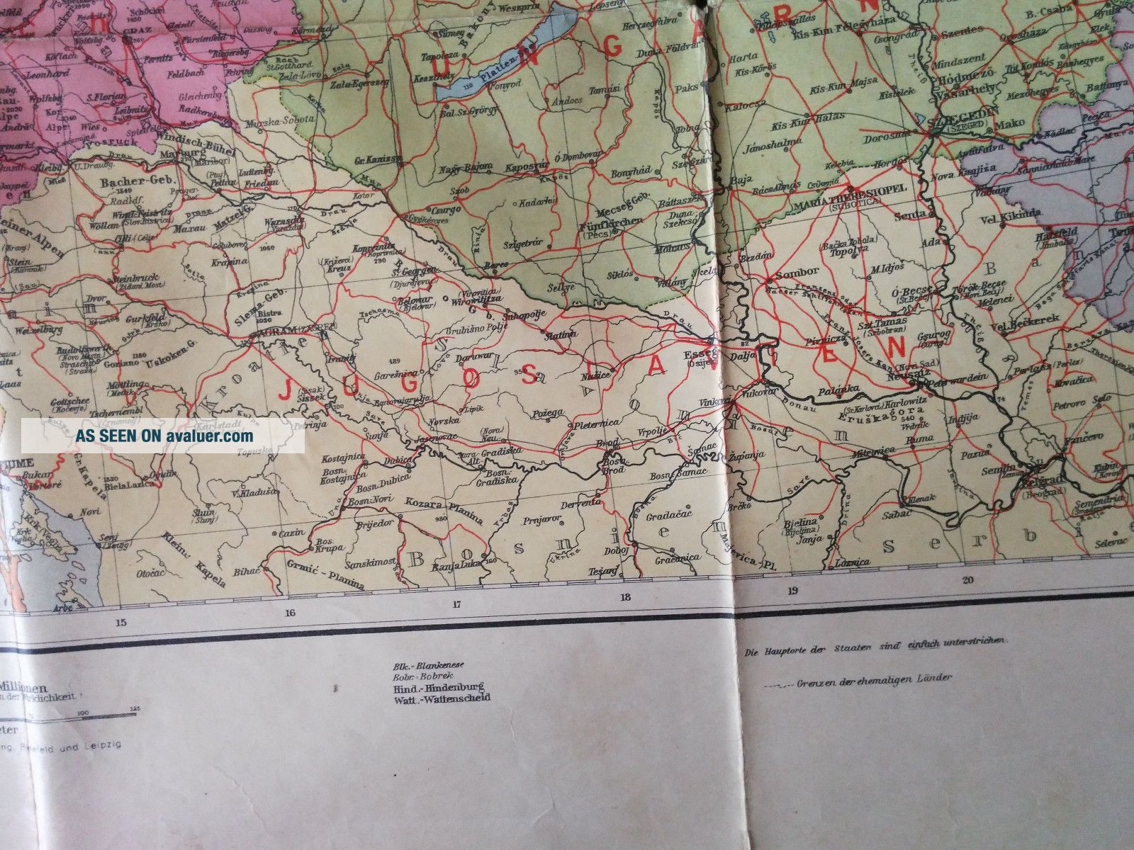
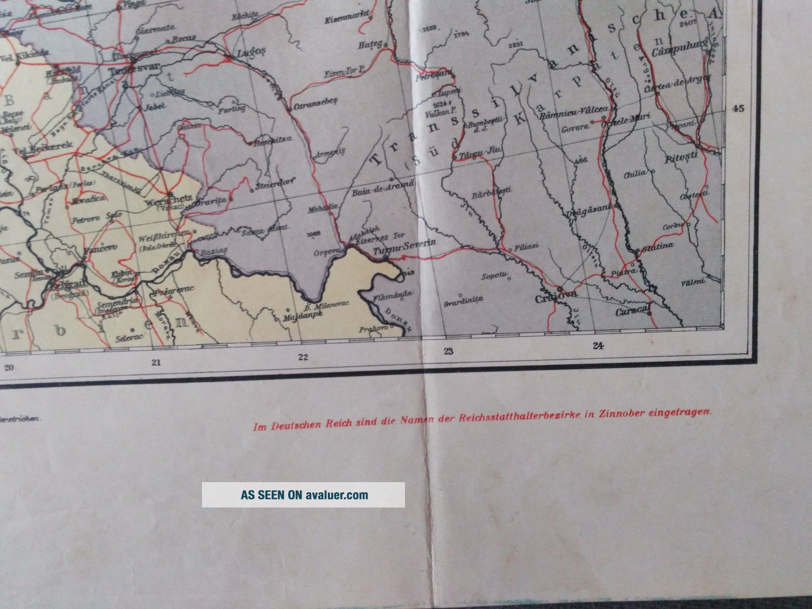
Das neue Politische Gesicht Mitteleuropas
1940's <...br>For sale XXX large nice old map of Europe during WWII
in German Language printed in Germany.
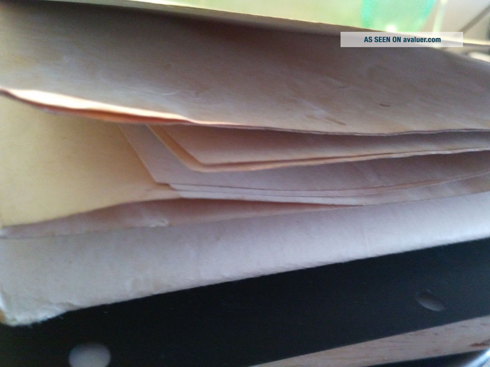
badge is used and in good condition, I am making very close pictures
so you can see actual quality
face dimmension is about
Height / Width: ~ 1000mm x 900mm
-Payment by Pay-Pal only
-Economy airmail shipping EU - 7days, UK - 7 days, US, CAN - 14 days
-Shipp to worldwide
-If you buy more items i will combine the shipping for you,
so please wait with the payment untill i give you the correct shipping price.
If you have any question do not hasitate
to ask
-ALL sales are final
PLEASE CHECK MY OTHER AUCTIONS WITH A LOTS OF INTERESTING PINS, BADGES,
HAT LAPEL PINS FROM THE PAST
1940's <...br>For sale XXX large nice old map of Europe during WWII
in German Language printed in Germany.
badge is used and in good condition, I am making very close pictures
so you can see actual quality
face dimmension is about
Height / Width: ~ 1000mm x 900mm
-Payment by Pay-Pal only
-Economy airmail shipping EU - 7days, UK - 7 days, US, CAN - 14 days
-Shipp to worldwide
-If you buy more items i will combine the shipping for you,
so please wait with the payment untill i give you the correct shipping price.
If you have any question do not hasitate
to ask
-ALL sales are final
PLEASE CHECK MY OTHER AUCTIONS WITH A LOTS OF INTERESTING PINS, BADGES,
HAT LAPEL PINS FROM THE PAST