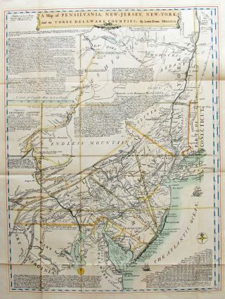
Rare 18th Century Map Pennsylvania O. Carleton 1793


Item History & Price

Information:
Reference Number: Avaluer:13349Cartographer/Publisher: Osgood Carleton
US State: PennsylvaniaOriginal/Reproduction: Antique Original
Date Range: 1700-1799Format: Folding Map
City: PhiladelphiaType: Physical Map
Country/Region: United States of AmericaYear: 1793
Original Description:
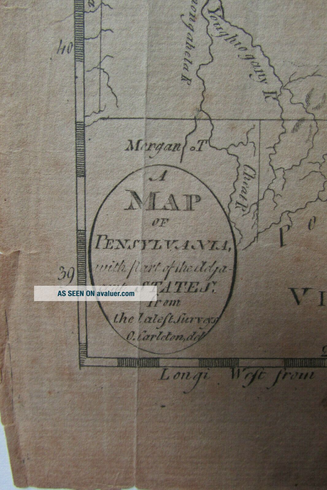
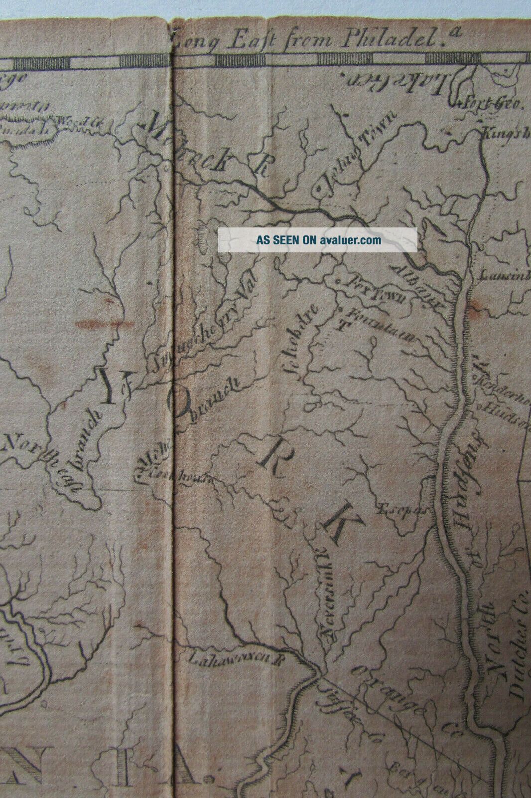
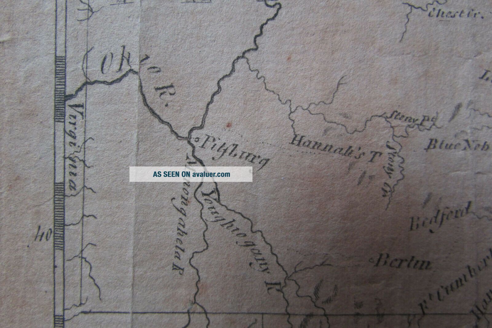
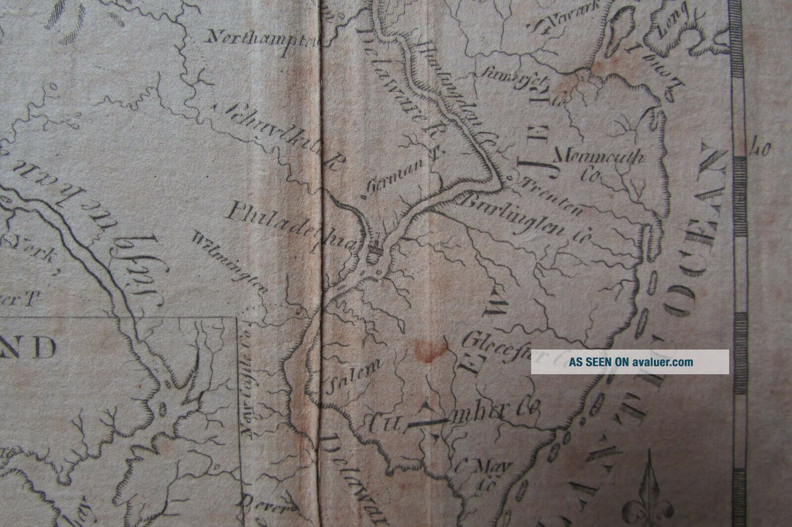
Circa 1793.Rare map of PA and surrounding areas.
Engraved by Osgood Carleton.Possibly prepared prior to 1792 (there is no Erie triangle).From 2nd edition of "The American Universal Geography" by Jedidiah Morse.Note that Lake Ontario and Lake George are printed upside down!Approx. 8 & 1/2"  X 8 & 1/4".


    Similar items


  • Antique 18th Century Map Pennsylvania Jersey Maryland Part York Forts

    Antique 18th Century Map Pennsylvania Jersey Maryland Part York Forts

  • Rare 18th Century (pirates) Handcrafted Map 1722 With O.  Levasseur Cited

    Rare 18th Century (pirates) Handcrafted Map 1722 With O. Levasseur Cited

  • & Rare 18th Century Philadelphia Pa Pennsylvania 1791 Old Newspaper

    & Rare 18th Century Philadelphia Pa Pennsylvania 1791 Old Newspaper

  • Rare Masonic Code Book Ancient Freemason 18th Century Map Treasure Hunter

    Rare Masonic Code Book Ancient Freemason 18th Century Map Treasure Hunter

  • Extremely Rare 18th Century Pennsylvania German Paint Decorated Wooden Box

    Extremely Rare 18th Century Pennsylvania German Paint Decorated Wooden Box

  • Rare 18th Century Capital Of Philadelphia Pennsylvania 1798 American Newspaper

    Rare 18th Century Capital Of Philadelphia Pennsylvania 1798 American Newspaper

  • Rare 18th Century Philadelphia Pa Pennsylvania W/ Ads 1795 Newspaper

    Rare 18th Century Philadelphia Pa Pennsylvania W/ Ads 1795 Newspaper

  • Rare 18th Century Candle & Holder

    Rare 18th Century Candle & Holder


    • You might also like


    • 1860 Mitchell Hand Colored Map Colorado,  Nebraska & Kansas - Civil War Era

      1860 Mitchell Hand Colored Map Colorado, Nebraska & Kansas - Civil War Era

    • 18th Century French Map Of North America

      18th Century French Map Of North America

    • Las Vegas Nevada Vintage 1967 Us Geological Survey Quadrangle Map 4 Panels

      Las Vegas Nevada Vintage 1967 Us Geological Survey Quadrangle Map 4 Panels

    • Rare Antique 1845 Maps United States Exploring Expedition Book Antartica Hawaii

      Rare Antique 1845 Maps United States Exploring Expedition Book Antartica Hawaii

    • Vintage 1926 Map Hollywood From The Best Surveys Of The Time

      Vintage 1926 Map Hollywood From The Best Surveys Of The Time

    • American Continent (western Hemisphere) 1747 Bowen Antique Copper Engraved Map

      American Continent (western Hemisphere) 1747 Bowen Antique Copper Engraved Map

    • Gulf Coast Florida Texas United States 1705 De Fer Unusual Antique Engraved Map

      Gulf Coast Florida Texas United States 1705 De Fer Unusual Antique Engraved Map

    • California As Island United States 1700 De Fer Unusual First Edition Antique Map

      California As Island United States 1700 De Fer Unusual First Edition Antique Map

Avaluer          About Us          Privacy Policy          Contact Us          UP
© 2022, avaluer.net, Inc. or its affiliates