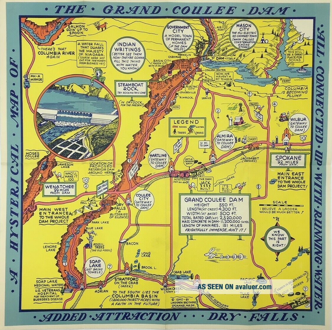
Jolly Lindgren / A Hysterical Map Of The Grand Coulee Dam 1940
Item History & Price
| Reference Number: Avaluer:13909 |

| Reference Number: Avaluer:13909 |
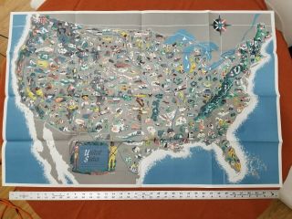
Map A Pictorial Map Of The United States Elmer Jacobs
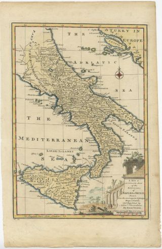
A & Accurate Map Of The Kingdoms Of Naples & Sicily - Bowen (1747)
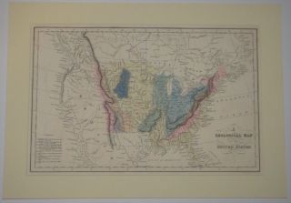
A Geological Map Of The United States_1832_john Howard Hinton_history_americana
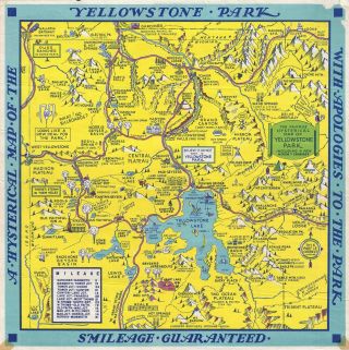
1948 Jolly Lindgren Humerous Pictorial Map Of Yellowstone National Park

Pretty Lights – A Color Map Of The Sun (33 Rpm 2 X Lp)
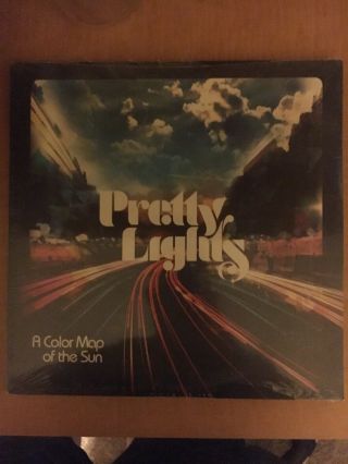
A Color Map Of The Sun By Pretty Lights 2xlp Vinyl
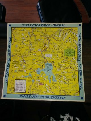
1948 Jolly Lindgren Humerous Pictorial Map Of Yellowstone National Park
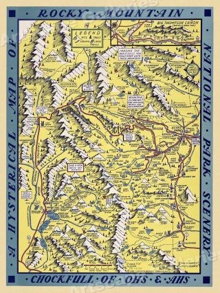
1940s “a Hysterical Map Of Rocky Mountains” Vintage Style Funny Map - 24x32

1860 Mitchell Hand Colored Map Colorado, Nebraska & Kansas - Civil War Era

18th Century French Map Of North America

Las Vegas Nevada Vintage 1967 Us Geological Survey Quadrangle Map 4 Panels

Rare Antique 1845 Maps United States Exploring Expedition Book Antartica Hawaii

Vintage 1926 Map Hollywood From The Best Surveys Of The Time

American Continent (western Hemisphere) 1747 Bowen Antique Copper Engraved Map

Gulf Coast Florida Texas United States 1705 De Fer Unusual Antique Engraved Map

California As Island United States 1700 De Fer Unusual First Edition Antique Map