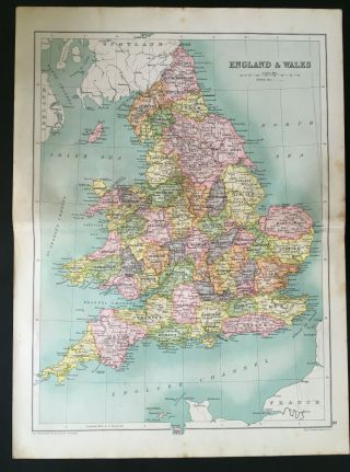
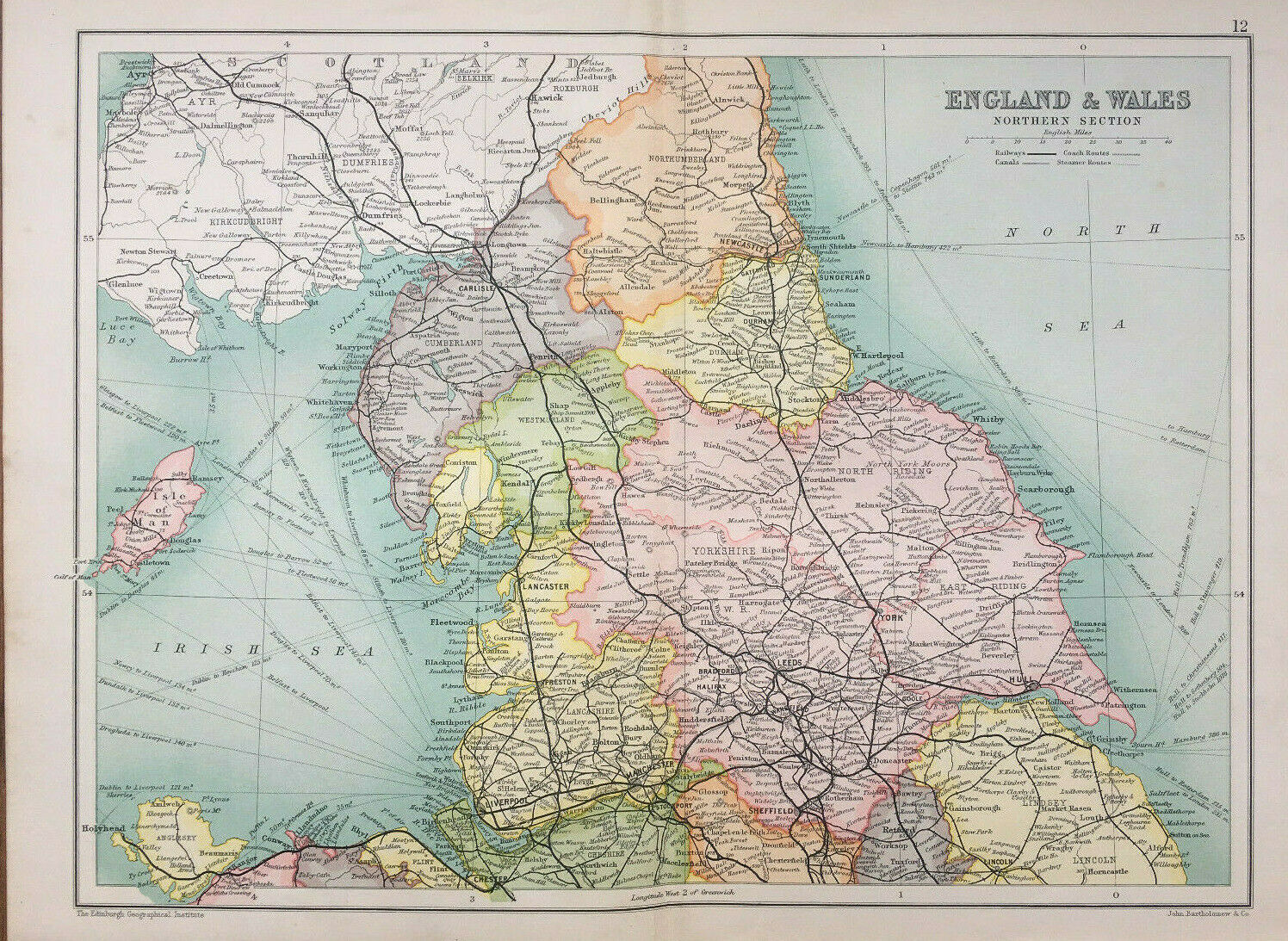
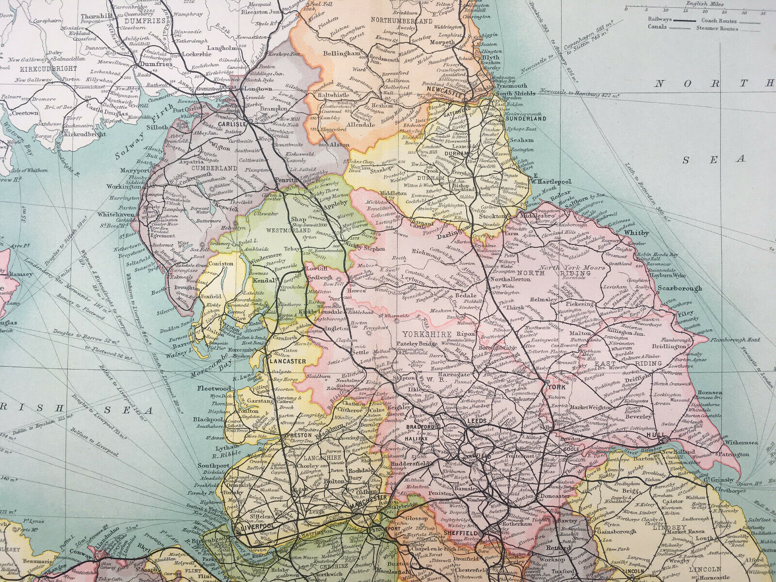
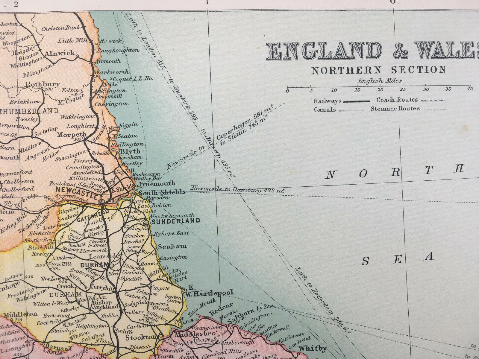
Antique Map Of England & Wales Northern Section 1910 John Bartholomew & Co


Item History & Price

Information:
Reference Number: Avaluer:14255356Cartographer/Publisher: John Bartholomew
Year: 1910Format: Atlas Map
Country/Region: british isles, England, Wales
Original Description:
PRINT: Map Of England & Wales Nothern Section E2 12
DATE PRINTED: 1910
IMAGE SIZE: Approx 30.0 x 23.0cm, 12 x 9 inches Plus Border
PROVENANCE: Cassell & Co Special Edition Atlas 1910VERSO: Plain
FOLD: Single
CONDITION: The Map Is In Good Condition But May Have Some Age Related Wear. Please Check The Images Carefully
POSTAGE: First Class Or Air Mail Within 24 Hours In Card Backed Envelope Or Postal TubePlease email with any questions regarding this item.
...


    Similar items


  • Antique Map Of England & Wales 1910 John Bartholomew & Co

    Antique Map Of England & Wales 1910 John Bartholomew & Co

  • 1936 Antique Map Of England & Wales Map Gift Vintage United Kingdom Map 7189

    1936 Antique Map Of England & Wales Map Gift Vintage United Kingdom Map 7189

  • 1936 Antique Map Of England & Wales Map Gift Vintage United Kingdom Map 6421

    1936 Antique Map Of England & Wales Map Gift Vintage United Kingdom Map 6421

  • 1882 Antique Map Of England Wales Britain Isle Of Man Old 19th Century

    1882 Antique Map Of England Wales Britain Isle Of Man Old 19th Century

  • Antique Map Of England & Wales Brookes Travelling Companion 1812 William Darton

    Antique Map Of England & Wales Brookes Travelling Companion 1812 William Darton

  • 1937 Antique Map Of England & Wales Map Gift Vintage United Kingdom Map 7987

    1937 Antique Map Of England & Wales Map Gift Vintage United Kingdom Map 7987

  • Antique Map Of England & Wales Devon Cornwall 1910 John Bartholomew & Co

    Antique Map Of England & Wales Devon Cornwall 1910 John Bartholomew & Co

  • 1837 Thomas Kelly Antique Map Of England & Wales

    1837 Thomas Kelly Antique Map Of England & Wales


    • You might also like


    • Hungary & Romania 1579 (1584) Ortelius Unusual Antique Copper Engraved Map

      Hungary & Romania 1579 (1584) Ortelius Unusual Antique Copper Engraved Map

    • Brussels Bruxelles Belfium 1777 De Ferraris & Dupuis Large Antique Map Sheet Xxi

      Brussels Bruxelles Belfium 1777 De Ferraris & Dupuis Large Antique Map Sheet Xxi

    • 1616 Atlas Map Of Iceland.

      1616 Atlas Map Of Iceland.

    • Kazan Russia 1767 Le Clerc/lespinasse Antique Copper Engraved City View

      Kazan Russia 1767 Le Clerc/lespinasse Antique Copper Engraved City View

    • 1899 Stanford,  Folding Map Of Norwich,  Norfolk,  Arthur Collins,  Jarrold & Sons,

      1899 Stanford, Folding Map Of Norwich, Norfolk, Arthur Collins, Jarrold & Sons,

    • 1948 Vintage Linen Colour Map Geological Survey Ten Mile Of Great Britain

      1948 Vintage Linen Colour Map Geological Survey Ten Mile Of Great Britain

    • 1944 Map Flying Bombs Sussex Ww2 Newspaper Military Kent Courier German V1 V2

      1944 Map Flying Bombs Sussex Ww2 Newspaper Military Kent Courier German V1 V2

    • Dated 1638 Vellum Map Of Icklesham Sussex Showing Land Uses Owners Etc

      Dated 1638 Vellum Map Of Icklesham Sussex Showing Land Uses Owners Etc

Avaluer          About Us          Privacy Policy          Contact Us          UP
© 2022, avaluer.net, Inc. or its affiliates